Champoluc - Bivacco Lateltin
Advertencias
- EE route: requires mountain experience, navigation above 2800 m, high-mountain equipment.
- Persistent snow into late season. Not suitable for inexperienced hikers.
7.7 km
+1623 m
−0 m
6 h
Nivel físico
Mapa y ruta
Traza GPX — verifica sobre el terreno antes de caminar
Descripción
Puntos clave
Salida
Champoluc · 1569 m
Llegada
Bivacco Lateltin · 3121 m
Sendero
S61
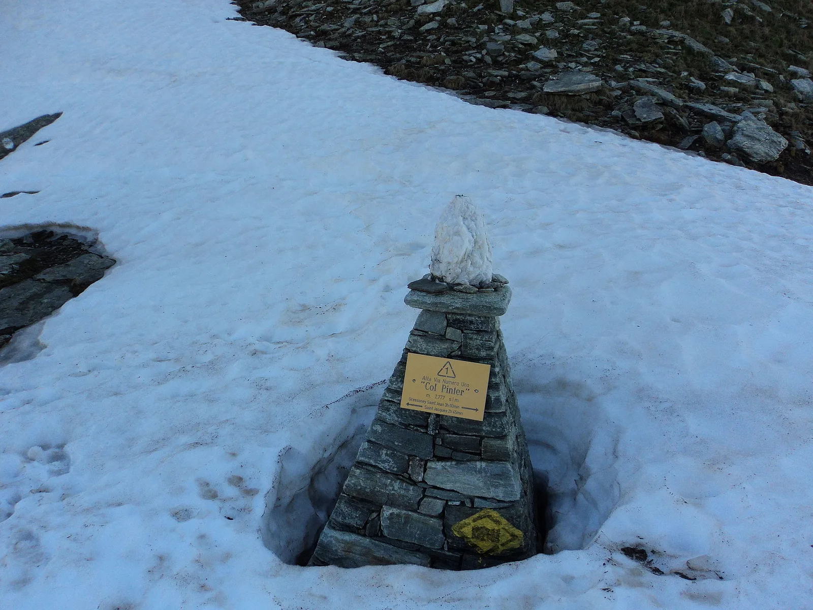
The trail climbs steeply from Champoluc (1569 m) through the high pastures of Val d'Ayas, partly following the route of the Alta Via n.1. The 1623 m of elevation gain over 7.7 km demands a steady pace and careful weather awareness. Larch forests give way to open alp, then moraines and high-altitude scree. The Bivacco Lateltin at 3121 m, dedicated to Ulrich Lateltin who died in 1984, provides a basic but essential shelter for mountaineers tackling the surrounding summits, set in a landscape of rock and ice that amply rewards the effort.
Aparcamiento
Galería de fotos
Photos are published immediately. JPG/PNG/WebP, max 6 MB.
Flora del sendero
Fauna que observar
AEditado y verificado por Andrea Rama
Fuente de datos: Catasto Sentieri Regione Autonoma VdA · Open data — DGR 899/2014
Última verificación:
Val d'Ayas
Senderos relacionados
Mismo valle o rutas similares — más excursiones por descubrir.

Val d'Ayas
Amponey - Becca Trecare
A demanding EE ascent from Amponey to Becca Trecare at 3032m — nearly 1500m of gain on varied terrain with sweeping summit views.

Val d'Ayas
Amponey - Alpe Mascognaz
1.8 km · +309 m · E — from Amponey to Alpe Mascognaz (Central Valley).

Val d'Ayas
Amponey - Bec de Nannaz
In the Val d'Ayas, Ayas: an E-rated climb toward a high-altitude objective through pastures and rock with views of Monte Rosa.

Val d'Ayas
Amponey - Mont Facebelle
In the Val d'Ayas, Ayas: an E/EE-rated climb toward a high-altitude objective in the alpine landscape.