Quinçod - Colle Chasten
Advertencias
- EE: exceptional elevation gain, very early start mandatory. Carry water.
8.9 km
+1708 m
−0 m
6.5 h
Nivel físico
Mapa y ruta
Traza GPX — verifica sobre el terreno antes de caminar
Descripción
Puntos clave
Salida
Quinçod · 1030 m
Llegada
Colle Chasten · 2549 m
Sendero
S5
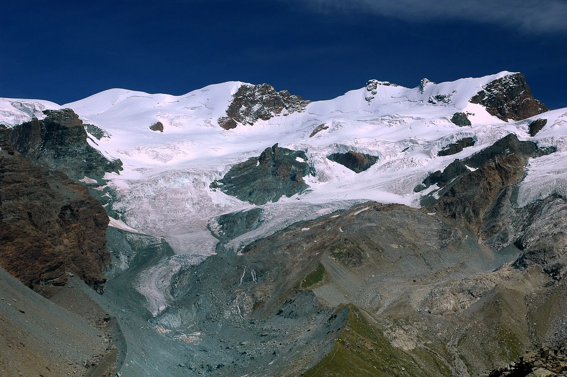
Starting from Quinçod at just 1030 m in the lower Val d'Ayas, this EE-rated route climbs 1708 metres to the Colle Chasten at 2549 m — one of the greatest single-day elevation gains in the Aosta Valley. The trail ascends the full orographic flank of the valley through coppice woodland, intermediate alps and exposed ridgeline terrain. Sections with lateral exposure and the sheer accumulated effort make this suitable only for experienced, well-conditioned mountain walkers.
Aparcamiento
Galería de fotos
Photos are published immediately. JPG/PNG/WebP, max 6 MB.
Flora del sendero
Fauna que observar
AEditado y verificado por Andrea Rama
Fuente de datos: Catasto Sentieri Regione Autonoma VdA · Open data — DGR 899/2014
Última verificación:
Valle del Lys
Senderos relacionados
Mismo valle o rutas similares — más excursiones por descubrir.

Valle del Lys
Anello dei Gemelli della Mologna
8.9 km · +996 m · EEA — from Niel to Niel (Great St Bernard Valley).

Valle del Lys
Balmeto - Leck Albezò
1.2 km · +287 m · E — from Balmeto to Leck Albezò (Champorcher Valley).

Valle del Lys
Bino - Passo di Valnera
4.5 km · +1280 m · E — from Bino to Alpe Jatza (Champorcher Valley).

Valle del Lys
Cascate di Niel
0.6 km · +80 m · E — from Start 7B to Cascate di Niel (Great St Bernard Valley).