
T
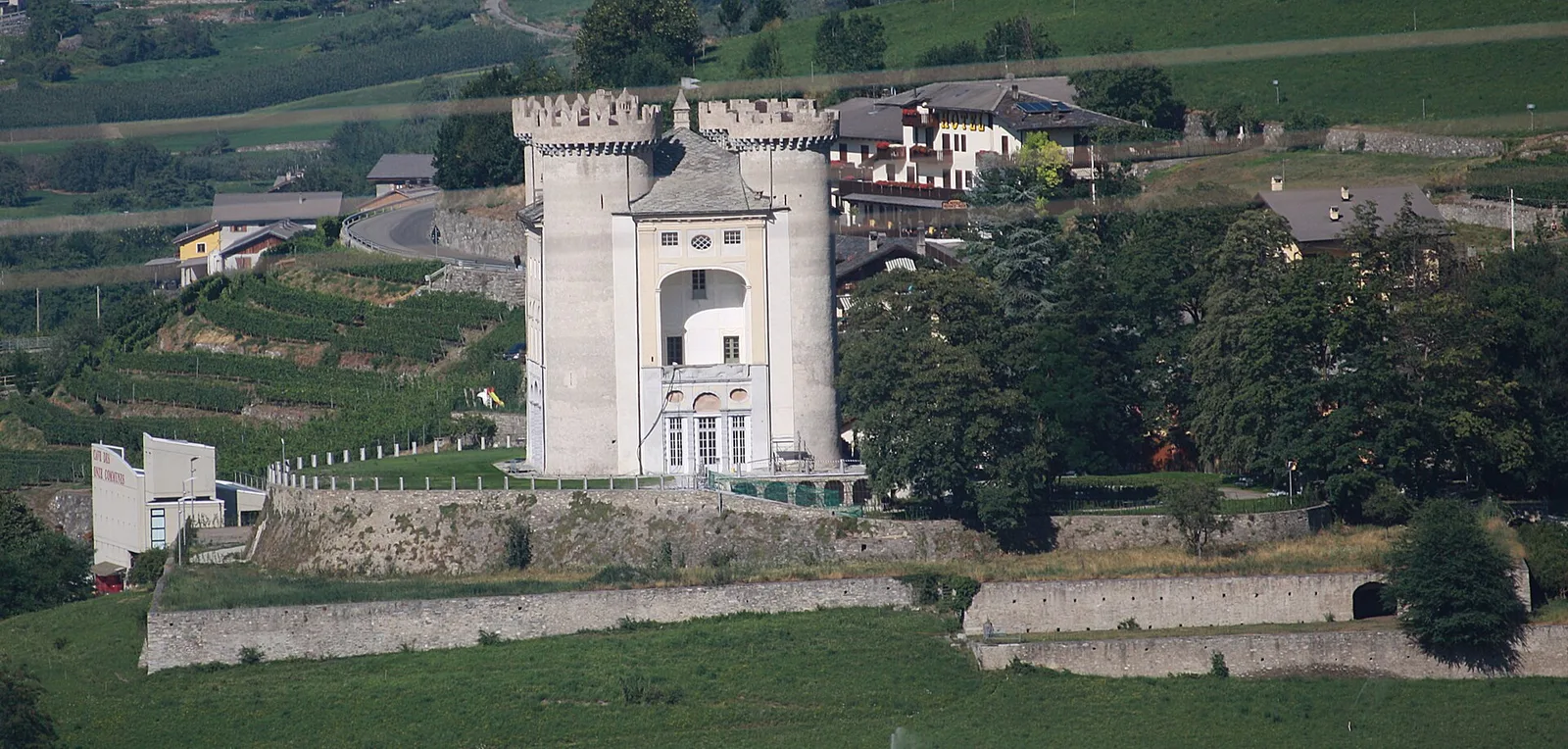
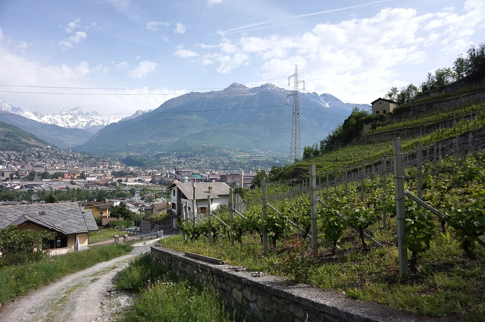
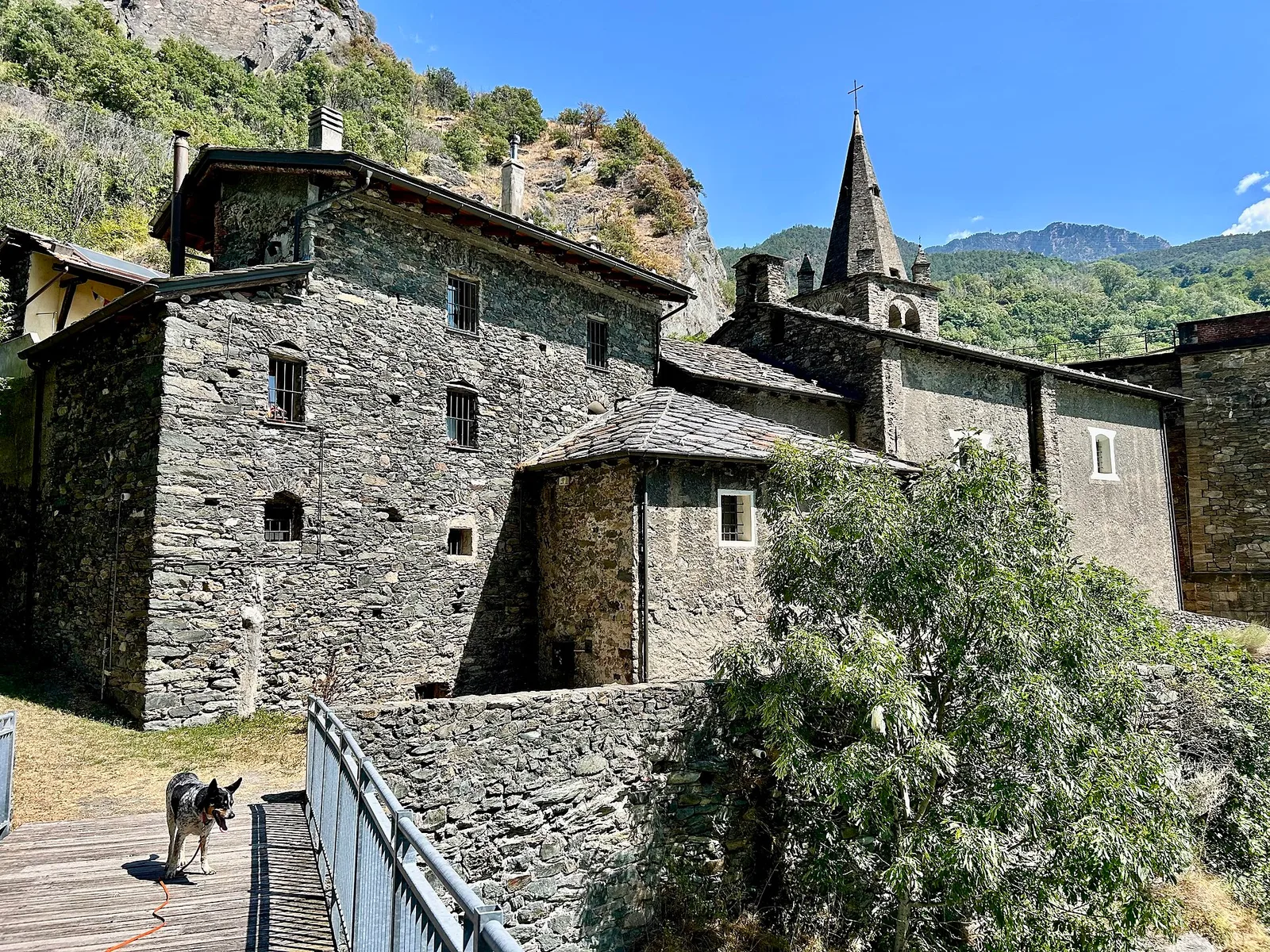
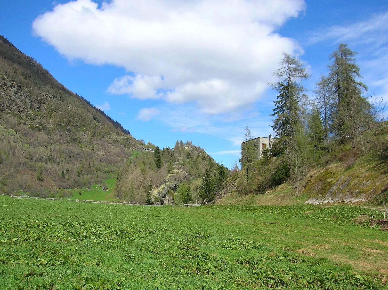
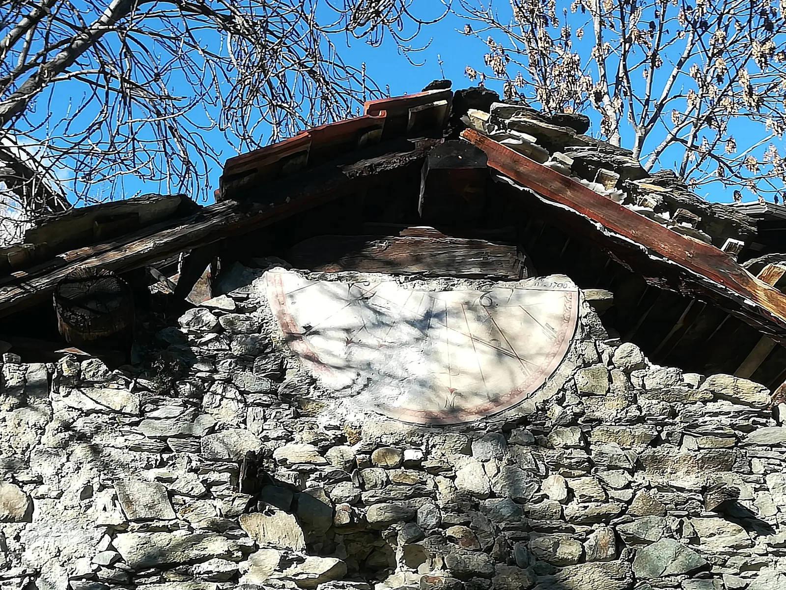
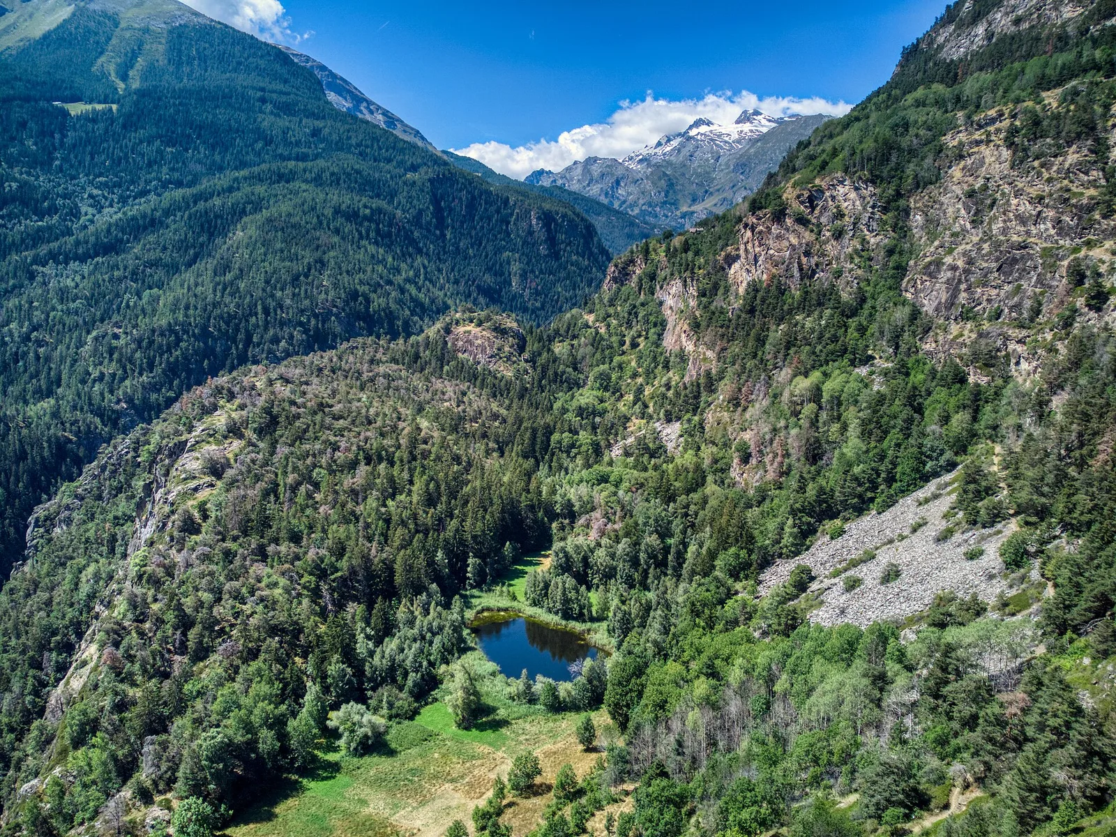
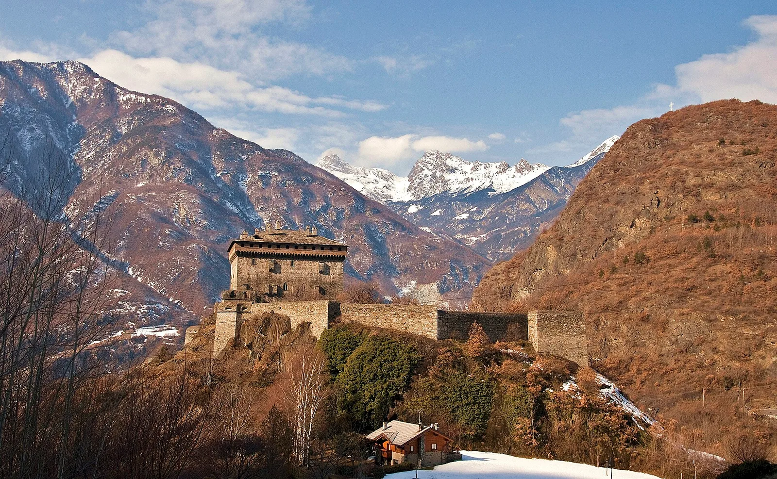
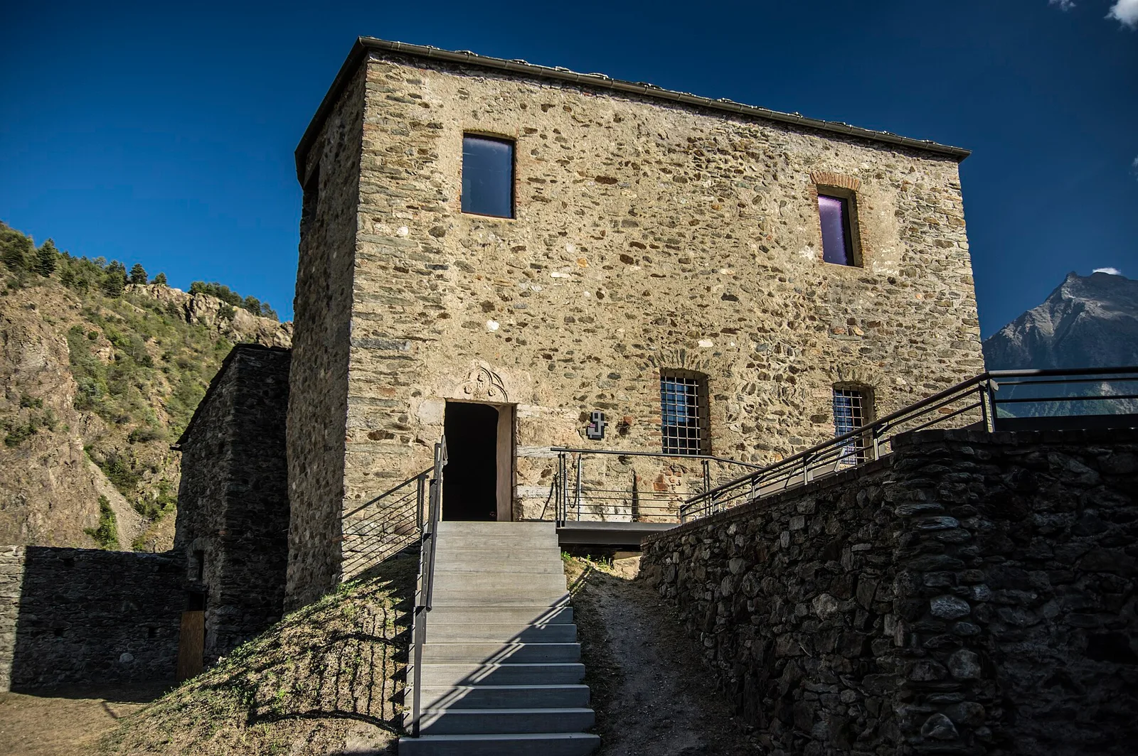
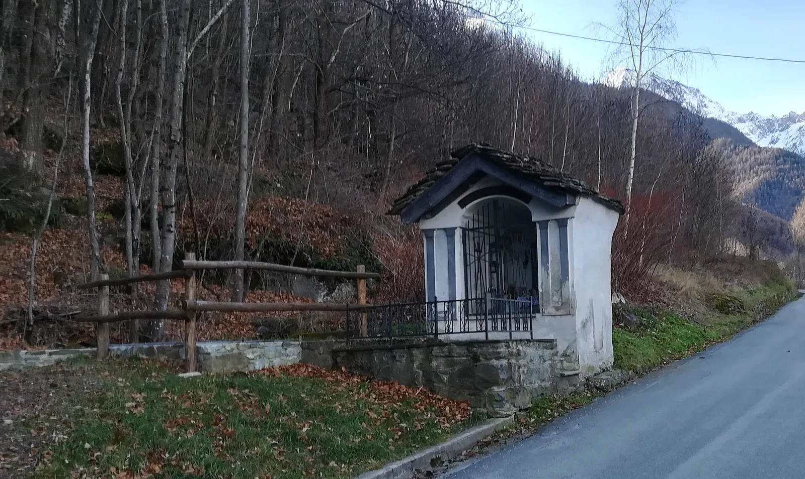
Valtournenche
Anello Area sportiva-Fiernaz-Area sportiva
2.9 km · +28 m · T — from Area sportiva to Area sportiva (Valtournenche).
2.9 km+28 m1 h
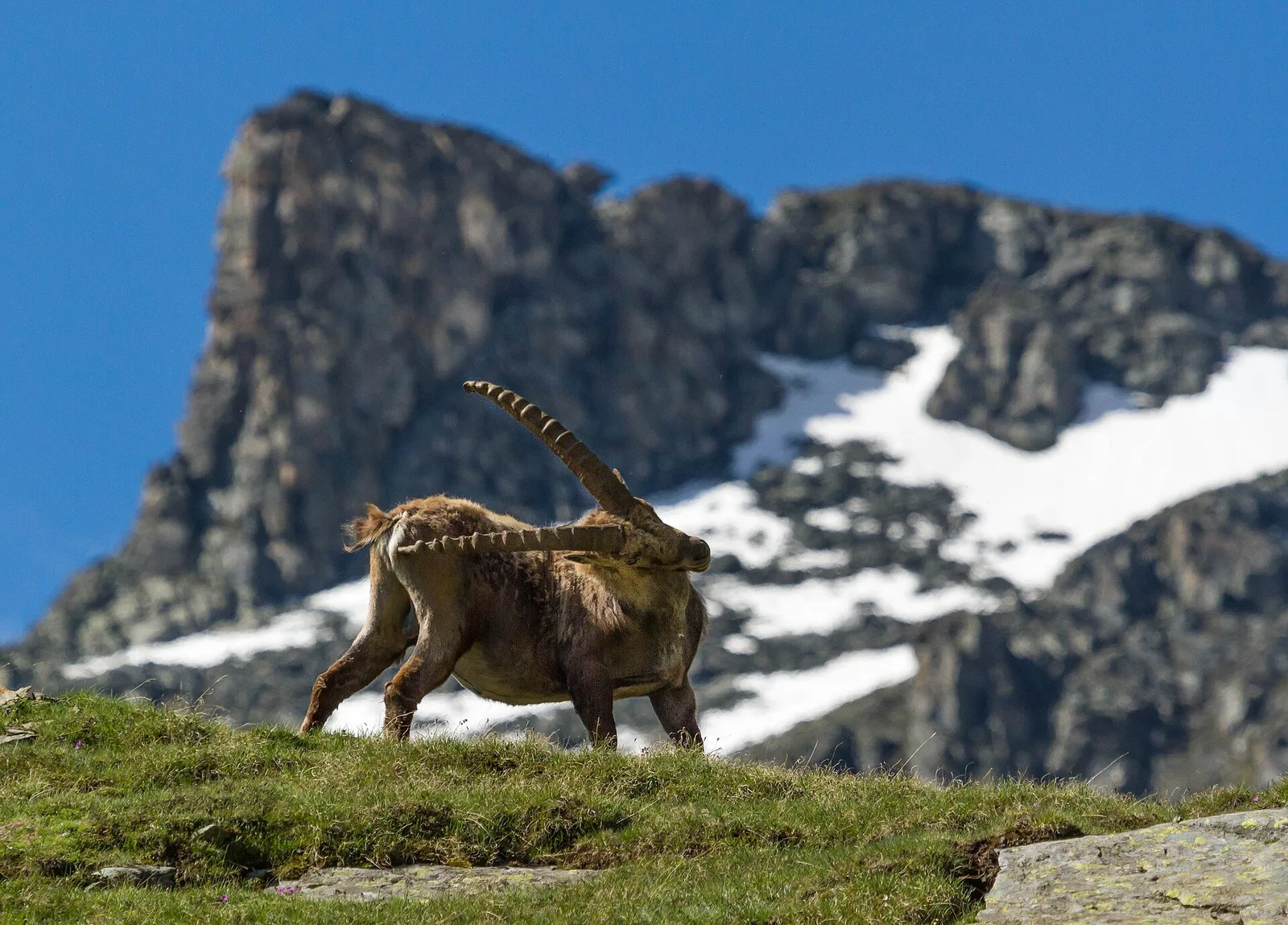
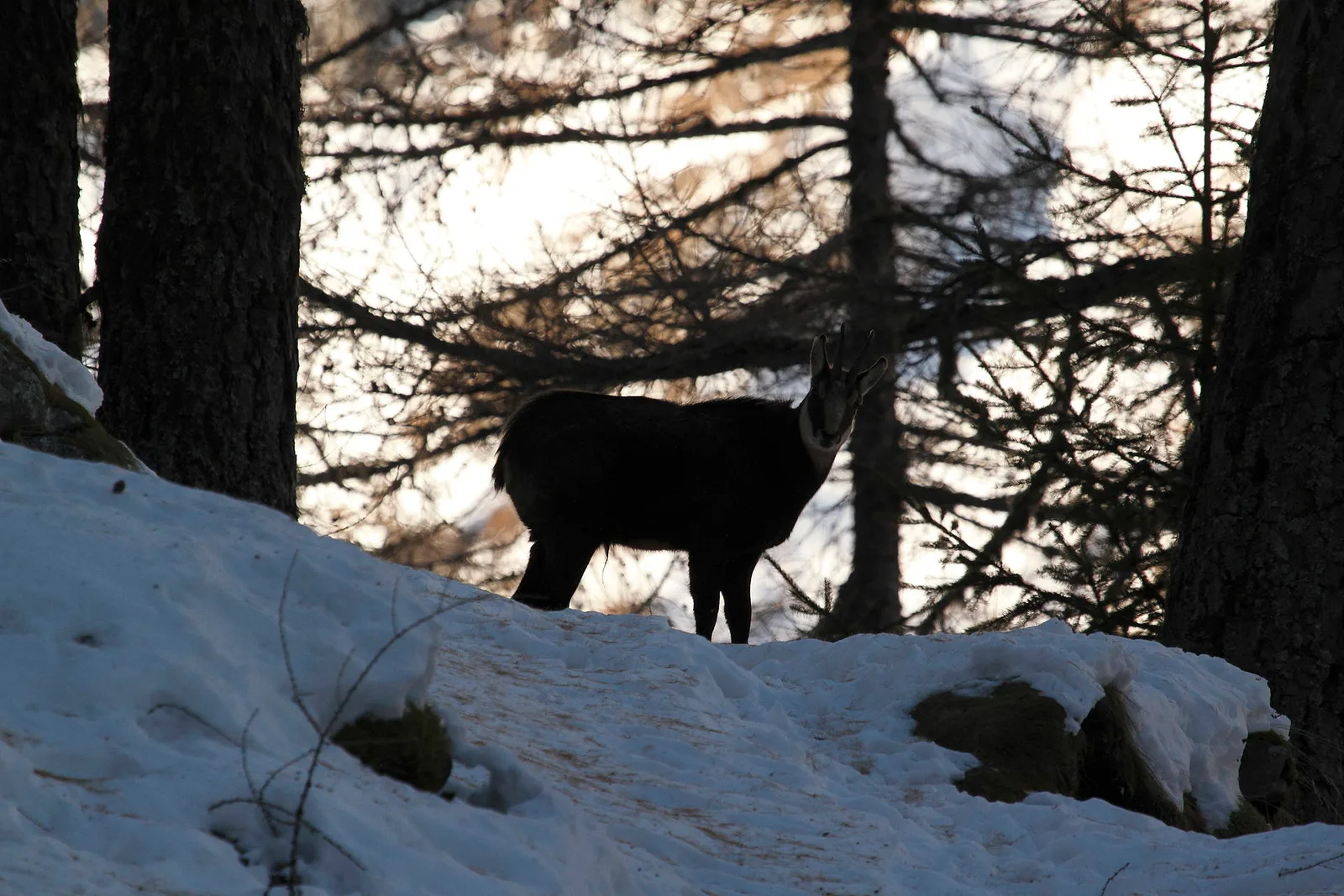
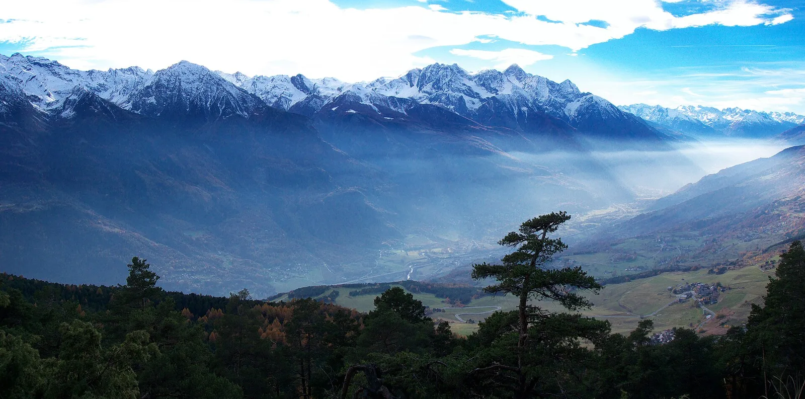
Where to spot
46 trails where Midland hawthorn is listed in flora/fauna: difficulty T–EE, elevation gain 0–1712 m.
46 · 0.2–53.5 km · +0–1712 m
Valtournenche
2.9 km · +28 m · T — from Area sportiva to Area sportiva (Valtournenche).
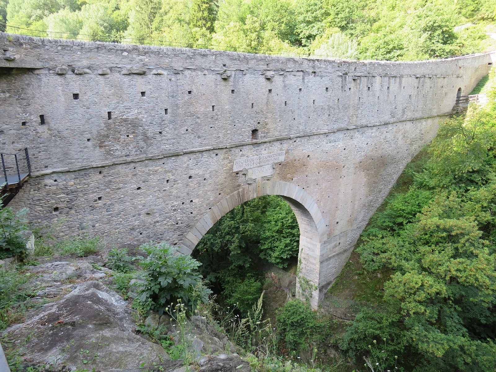
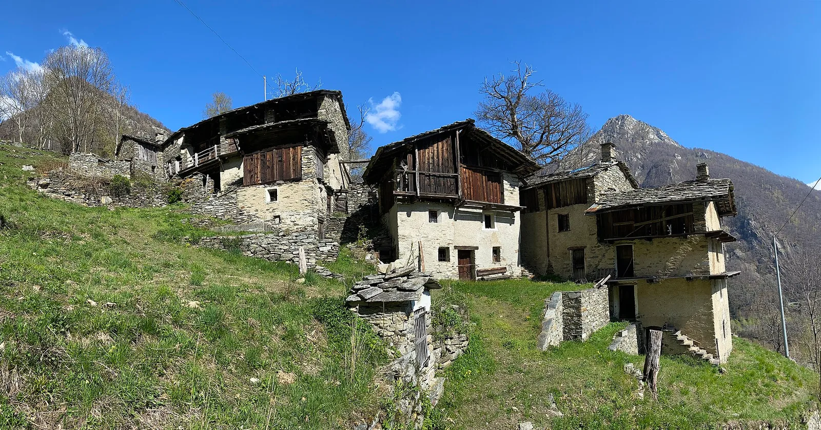
Valle centrale
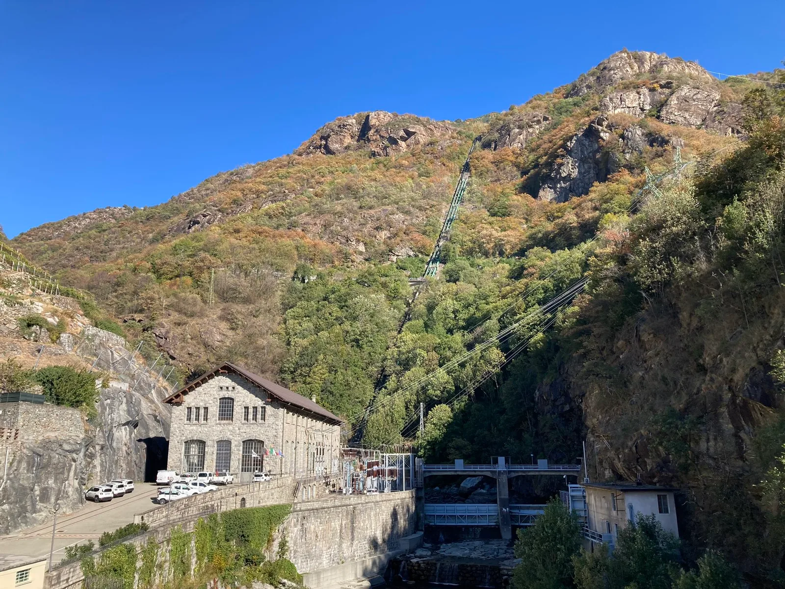
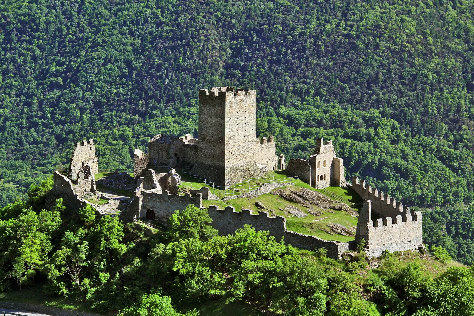
From Moulin to Pont d'Ael (885 m): a short walk to a 3 BC Roman aqueduct bridge, one of the finest preserved in the Alps.
Valle centrale
0.9 km · +203 m · E — from Aymavilles (St-Léger) to Strada regionale per Cogne (Cogne Valley).

Bassa Valle
1.6 km · +397 m · E — from Barme to Carogne (Valtournenche).

Bassa Valle
1.2 km · +284 m · E — from Barme to Omens (Valtournenche).
Valle di Champorcher
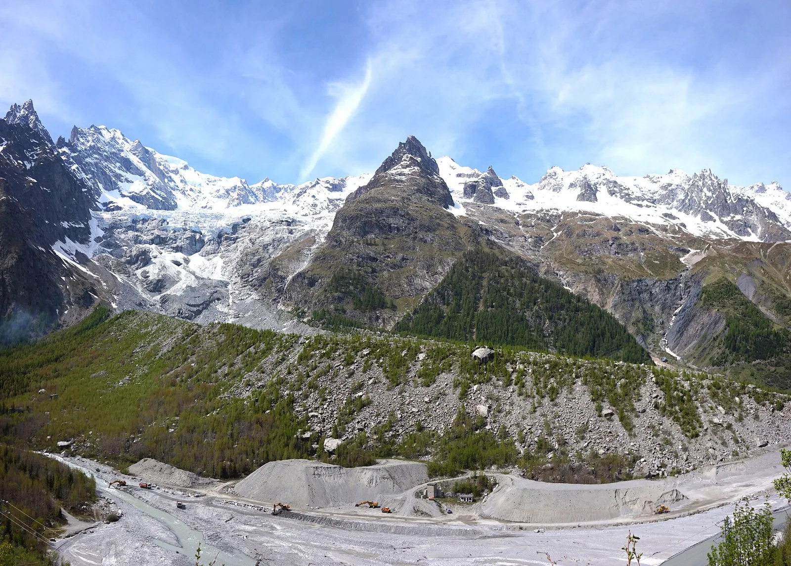
6.7 km · +1139 m · EE — from Chardonney to Col Laris (Valtournenche).
Val d'Ayas
53.5 km · +0 m · EE — from Pont-Suaz to Capoluogo (Cogne Valley).
Valle centrale
1.2 km · +181 m · E — from Charvensod to Sainte-Colombe (Cogne Valley).
Valle centrale
4.2 km · +243 m · E — from Chavonne to Pondel (Aymavilles) (Central Valley).
Valle centrale
6.8 km · +1427 m · E — from Cloutraz to Mont Barbeston (Valdigne).
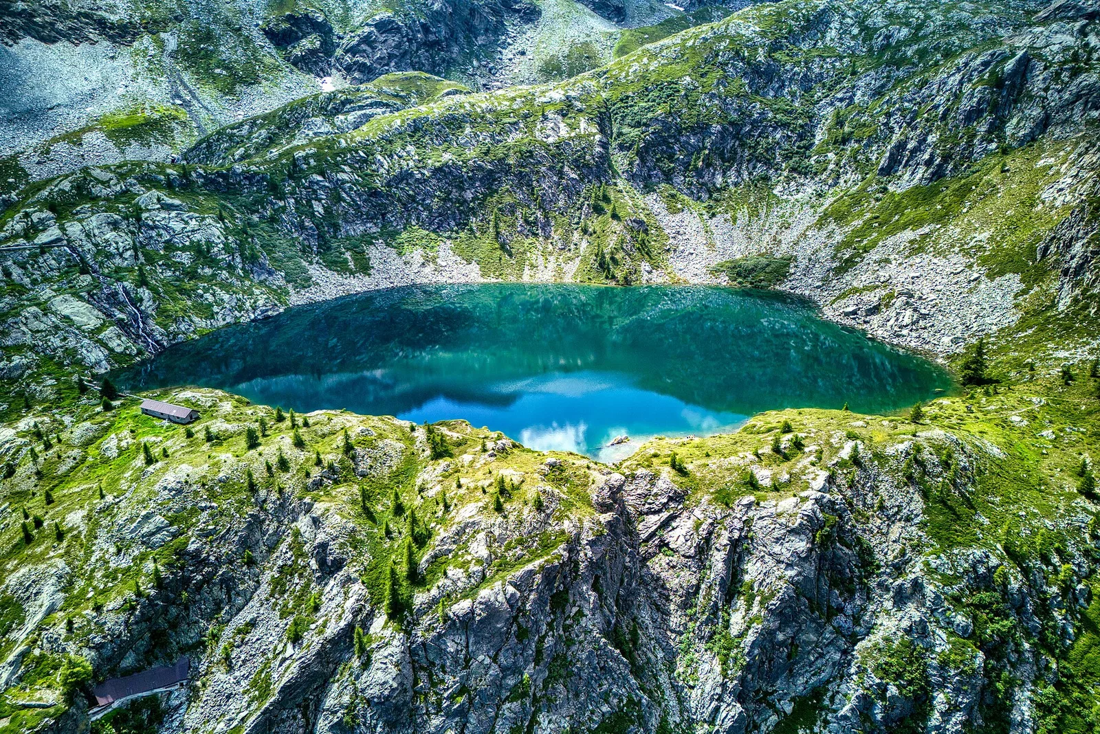
Val di Cogne
6.4 km · +1712 m · E — from Cretaz to Bivacco Gratton (Lys Valley).
Val d'Ayas
1.2 km · +276 m · E — from Estaod (Montjovet) to Emarèse (Great St Bernard Valley).
Valsavarenche
5.2 km · +966 m · E — from Fenille to Colle Becca Plana (Ayas Valley).
Valle del Lys
8.8 km · +1510 m · E — from Capoluogo to Colle della Barma d'Oropa (Lys Valley).
Valle centrale
0.2 km · +0 m · E — from Tornante presso Fossaz to Zona Calanchi (Central Valley).
Valgrisenche
From Grand Haury the route climbs through forest and alpine meadow to the Alpe di Boregne pasture plateau at the foot of Becca Verconey in a quiet Valgrisenche side valley.
Valtournenche
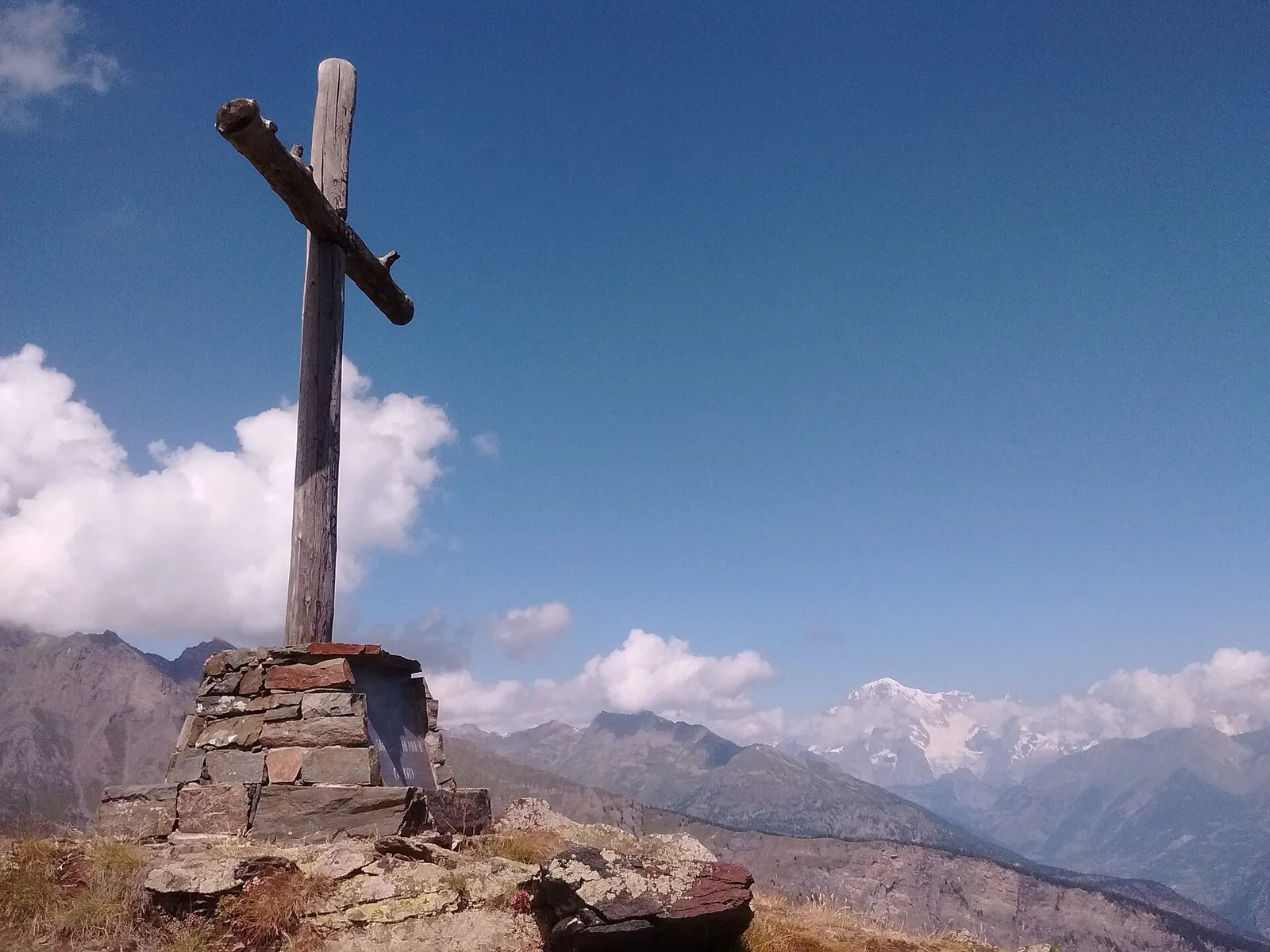
In the commune of Torgnon, Valtournenche: an E-rated route through hamlets, forest and pastures with panoramic views.
Valle di Champorcher
1.7 km · +247 m · E — from Grand-Rosier to Col de Plan Fenetre (Valtournenche).
Valle di Champorcher
5.4 km · +633 m · E — from Piazza Municipio to Pontboset (Valsavarenche).
Val d'Ayas
3.6 km · +312 m · E — from Bivio lago to Bivio lago (Ayas Valley).
Bassa Valle
3.3 km · +642 m · E — from La Raffort to Pian (Valsavarenche).
Valtournenche
1.3 km · +8 m · E — from Lies to Strada (Valtournenche).
Valle centrale
4.1 km · +892 m · E — from Moline to Brein (Lys Valley).
Valle centrale
1 km · +355 m · E — from Nus to Vollein (Valpelline).
Bassa Valle
5.8 km · +1334 m · EE — from Outrefer to Mognissola (Valtournenche).
Bassa Valle
4.7 km · +579 m · T — from Piazza E.Chanoux to Carogne (Valtournenche).
Bassa Valle
3.8 km · +581 m · E — from Plan de Brun to Fey (Central Valley).
Val Ferret
4.8 km · +823 m · E — from Plan Ponquet to Mont-Chetif (Great St Bernard Valley).
Bassa Valle
2.2 km · +436 m · E — from Capoluogo to Reserve Naturelle de Holay (Central Valley).
Valtournenche
6.6 km · +1143 m · E — from Promiod to Madonna dello Zerbion (Valdigne).
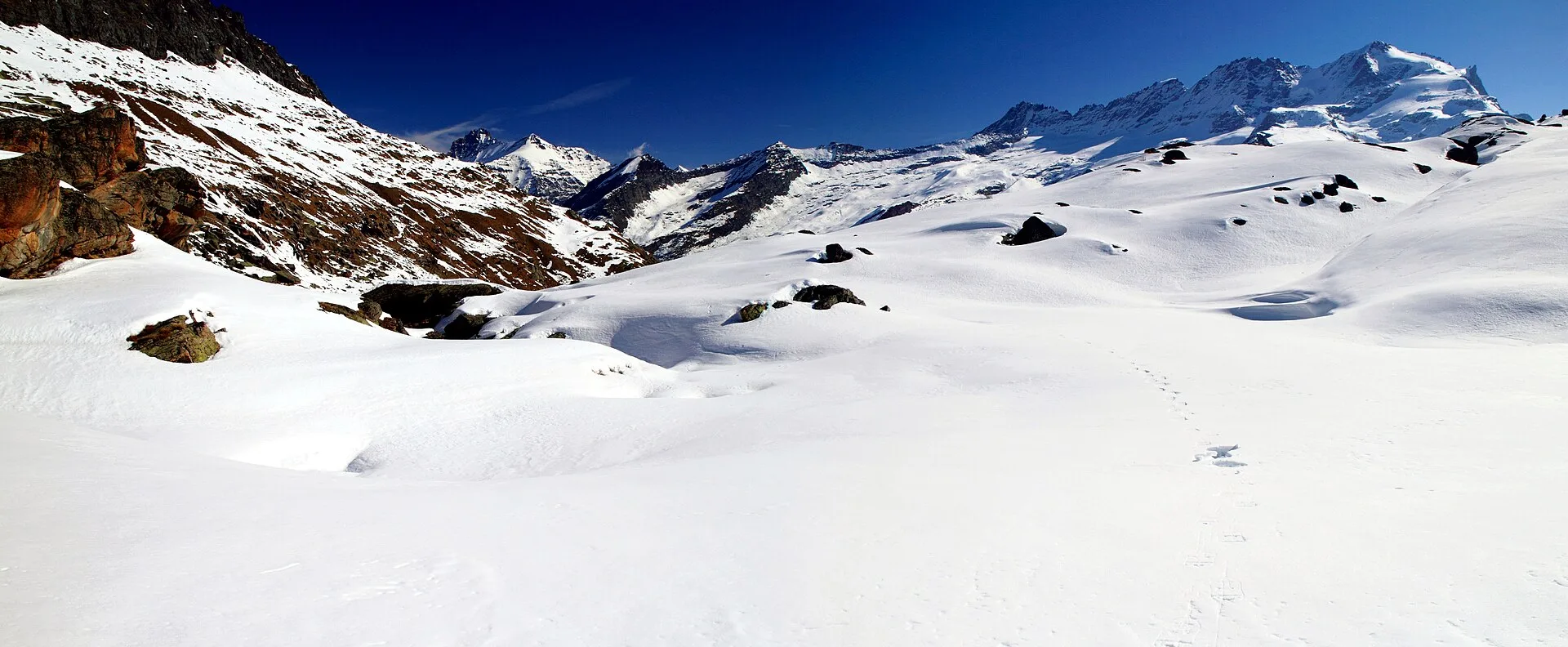
Valle del Lys
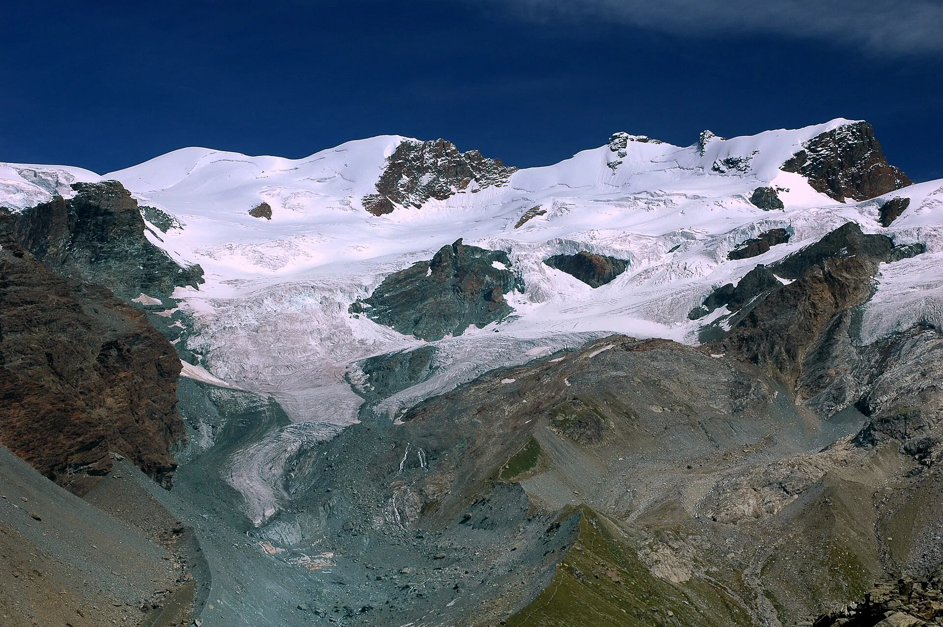
EE route from Quinçod (1030 m) to Colle Chasten (2549 m): 1708 m gain from the valley floor. Experienced hikers only, early start mandatory.
Valle centrale
6.6 km · +1205 m · E — from Capoluogo to Mont-Paillasse (Central Valley).
Valle del Gran San Bernardo
4.2 km · +823 m · E — from Capoluogo to Alpe Riond (Valtournenche).
Valtournenche
1.8 km · +14 m · E — from Confine comunale to Confine comunale (Central Valley).
Valle centrale
4.7 km · +0 m · T — from Confine comunale Aosta to Confine comunale Quart (Central Valley).
Valle centrale
2.4 km · +263 m · E — from Runaz to Rochefort (Valdigne).
Val d'Ayas
7.1 km · +917 m · E — from Saint-Clair to Gettaz (Valdigne).
Bassa Valle
3.8 km · +1070 m · E — from Saint-Roch to La Borney (Central Valley).
Bassa Valle
2.9 km · +391 m · E — from Poline desot to Ronchas (Central Valley).
Bassa Valle
2.4 km · +355 m · E — from Strada to Omens (Valtournenche).
Valle del Gran San Bernardo
19.4 km · +524 m · E — from Nus to Roisan (Valpelline).
Valle centrale
15.9 km · +1163 m · E — from Avise to Introd (Valdigne).
Val d'Ayas
2.5 km · +461 m · E — from Torille to Lac de Ville (Valtournenche).
Valle centrale
1.5 km · +352 m · E — from Valmeanaz to Rean (Great St Bernard Valley).
Valle centrale
2.9 km · +680 m · E — from Veynes to Valtolanaz (Central Valley).

Val d'Ayas
0.5 km · +86 m · E — from — to — (Ayas Valley).