Grand Moulin - Villettaz - Berzin - Cappella Saint Evence (Torgnon)
5.9 km
+657 m
−0 m
3 h
Nivel físico
Mapa y ruta
Traza GPX — verifica sobre el terreno antes de caminar
Descripción
Puntos clave
Salida
Grand Moulin · 1011 m
Llegada
Cappella Saint Evence (Torgnon) · 1668 m
Sendero
S27
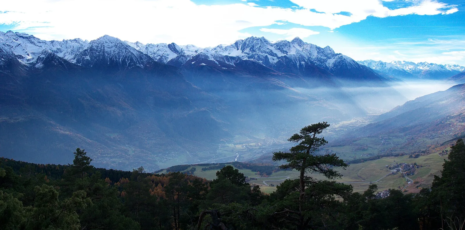
Official trail from the Aosta Valley Trail Cadastre in the municipality of Antey-Saint-André, Valtournenche. It runs from Grand Moulin (1011 m) to Cappella Saint Evence (Torgnon) (1668 m), covering 5.9 km with +657 m of ascent. Difficulty Experienced hikers (EE) on the CAI scale, with an estimated walking time of about 3 h. Along the way there are 14 signposts/markers of the regional trail network, to follow at junctions together with the white-and-red blazes. Recommended period: June, July, August and September.
Aparcamiento
Galería de fotos
Photos are published immediately. JPG/PNG/WebP, max 6 MB.
Flora del sendero
Fauna que observar
AEditado y verificado por Andrea Rama
Fuente de datos: Catasto Sentieri Regione Autonoma VdA · Open data — DGR 899/2014
Última verificación:
Valtournenche
Senderos relacionados
Mismo valle o rutas similares — más excursiones por descubrir.

Valtournenche
Anello Area sportiva-Fiernaz-Area sportiva
2.9 km · +28 m · T — from Area sportiva to Area sportiva (Valtournenche).

Valtournenche
Anello dei Villaggi di Antey ( Ruvère, Liesse,Fontaney, Villettaz)
A loop through the sunlit hamlets of Antey and Torgnon: traditional Aosta Valley architecture, vineyards and mid-mountain forest, 5.2 km from Ruvère.

Valtournenche
Anello di Champlève
1.9 km · +140 m · E — from Champlève to Champlève (Central Valley).

Valtournenche
Area Pic Nic Champlong - Becca d'Aver e Cima Longhede
6.4 km · +913 m · E — from Area Pic Nic Champlong to Cima Longhede (Valsavarenche).