Arbaz - Tete de Comagne
3.8 km
+608 m
−0 m
2.5 h
Nivel físico
Mapa y ruta
Traza GPX — verifica sobre el terreno antes de caminar
Descripción
Puntos clave
Salida
Arbaz · 1499 m
Llegada
Tete de Comagne · 2106 m
Sendero
S32
Departing from the hamlet of Arbaz at 1499 m, this compact route ascends 608 metres over 3.8 kilometres to reach the Tete de Comagne at 2106 m, on the boundary between the municipalities of Brusson and Etroubles. The slope is consistent and demanding, crossing open pastures and sparse conifer stands before reaching the rocky upper section. The summit's position on the watershed divide delivers panoramic views towards the Monte Rosa cirque to the north and the Aosta plain to the south. A short but rewarding climb well suited to hikers based at the local alpeggi.
Aparcamiento
Galería de fotos
Photos are published immediately. JPG/PNG/WebP, max 6 MB.
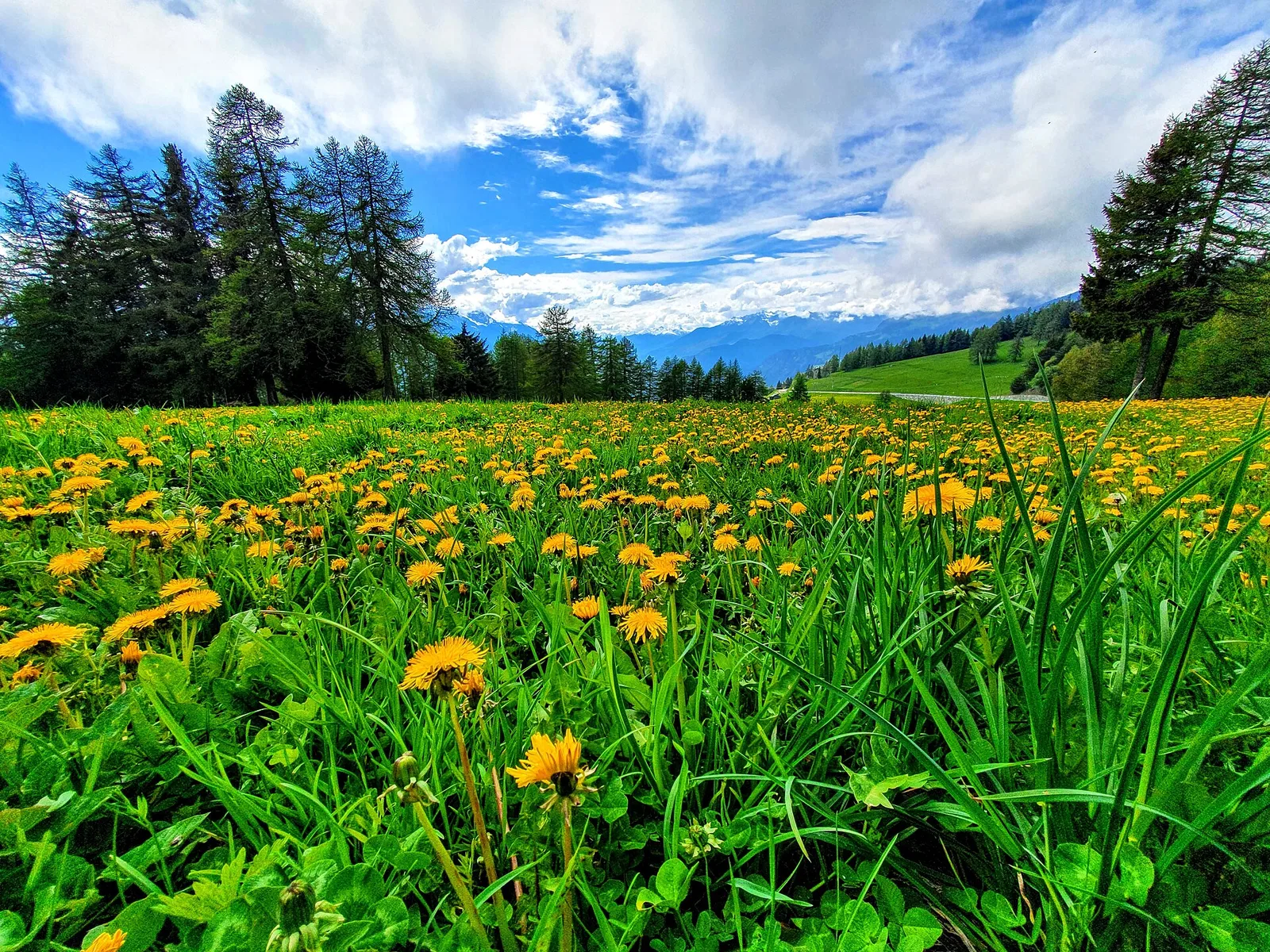
Flora del sendero
AEditado y verificado por Andrea Rama
Fuente de datos: Catasto Sentieri Regione Autonoma VdA · Open data — DGR 899/2014
Última verificación:
Val d'Ayas
Senderos relacionados
Mismo valle o rutas similares — más excursiones por descubrir.

Val d'Ayas
Amponey - Becca Trecare
A demanding EE ascent from Amponey to Becca Trecare at 3032m — nearly 1500m of gain on varied terrain with sweeping summit views.

Val d'Ayas
Amponey - Alpe Mascognaz
1.8 km · +309 m · E — from Amponey to Alpe Mascognaz (Central Valley).

Val d'Ayas
Amponey - Bec de Nannaz
In the Val d'Ayas, Ayas: an E-rated climb toward a high-altitude objective through pastures and rock with views of Monte Rosa.

Val d'Ayas
Amponey - Mont Facebelle
In the Val d'Ayas, Ayas: an E/EE-rated climb toward a high-altitude objective in the alpine landscape.