Gabiet - Passo Zube (sentiero alternativo)
2.8 km
+328 m
−0 m
1.5 h
Nivel físico
Mapa y ruta
Traza GPX — verifica sobre el terreno antes de caminar
Descripción
Puntos clave
Salida
Lago Gabiet · 2416 m
Llegada
Passo Zube · 2742 m
Sendero
S31
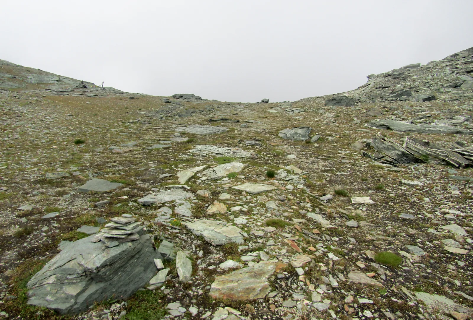
From Lake Gabiet to the Passo Zube (about 2,700 m), a short high-altitude traverse between the Gabiet basin and the inner valleys of the area. The scenic, easy-going trail links the tarns and high alps above Gressoney-La-Trinité, with constant views of the Lyskamm. Ideal as a day loop starting from the Gabiet lifts.
Ciencias de la Tierra
Geología y paisaje
The bedrock is that of the Monte Rosa nappe — continental-crust gneisses and granites, greenstones of the Alpine ocean — carved and polished by the Lys glaciers, among recent moraines and roches moutonnées.
Historia y cultura
This is Walser country: the Alemannic settlers who crossed the Monte Rosa glaciers from Valais in the 13th century left Gressoney the Töitschu language, timber-and-stone stadel and the German names of the peaks.
Aparcamiento
Galería de fotos
Photos are published immediately. JPG/PNG/WebP, max 6 MB.
Flora del sendero
AEditado y verificado por Andrea Rama
Fuente de datos: Catasto Sentieri Regione Autonoma VdA · Open data — DGR 899/2014
Última verificación:
Valle del Lys
Senderos relacionados
Mismo valle o rutas similares — más excursiones por descubrir.

Valle del Lys
Anello dei Gemelli della Mologna
8.9 km · +996 m · EEA — from Niel to Niel (Great St Bernard Valley).

Valle del Lys
Balmeto - Leck Albezò
1.2 km · +287 m · E — from Balmeto to Leck Albezò (Champorcher Valley).

Valle del Lys
Bino - Passo di Valnera
4.5 km · +1280 m · E — from Bino to Alpe Jatza (Champorcher Valley).

Valle del Lys
Cascate di Niel
0.6 km · +80 m · E — from Start 7B to Cascate di Niel (Great St Bernard Valley).