Veulla - Mont Barbeston
6.5 km
+1193 m
−0 m
4.5 h
Nivel físico
Mapa y ruta
Traza GPX — verifica sobre el terreno antes de caminar
Descripción
Puntos clave
Salida
Veulla · 1286 m
Llegada
Mont Barbeston · 2482 m
Sendero
S14
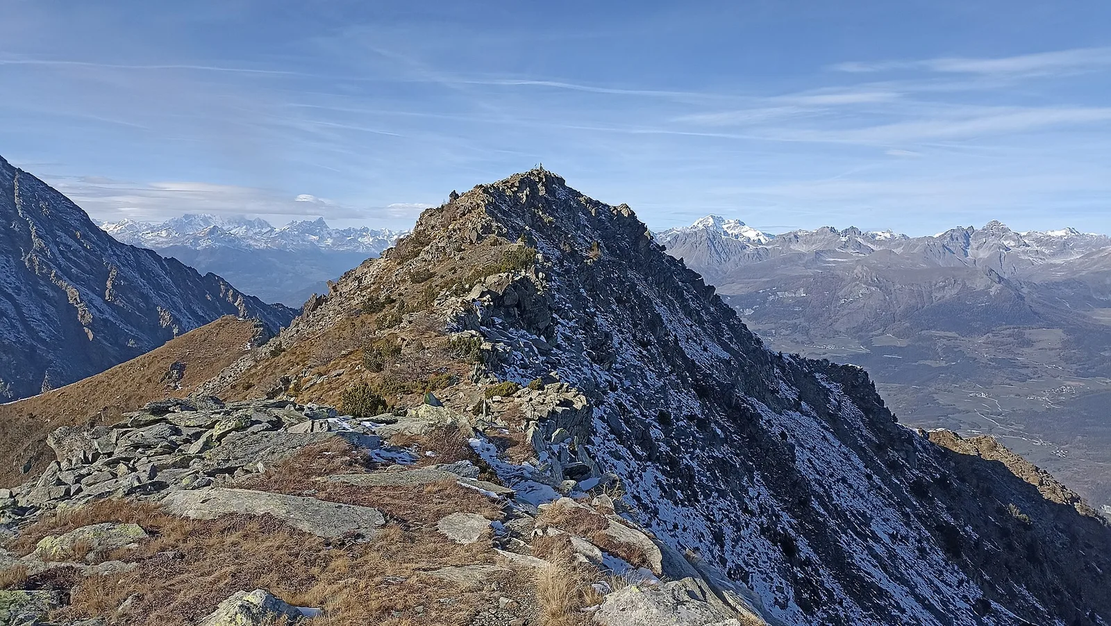
From Veulla (1286 m), above Charvensod and only minutes from the regional capital, this hiking route (E) climbs almost 1200 metres to Mont Barbeston (2482 m), one of the most popular panoramic summits on the southern ramparts of the central valley. The conifer woods are soon left behind for alpine pastures and, in the final section, high meadows and scree leading to the top. From the summit the eye sweeps over the Aosta basin, the furrow of the Dora Baltea and the whole crown of four-thousanders closing the valley to the north — from Mont Blanc to the Matterhorn and Monte Rosa. The climb is continuous and demanding for its height gain: tackle it well-trained and on clear summer days, when the path is free of snow.
Aparcamiento
Galería de fotos
Photos are published immediately. JPG/PNG/WebP, max 6 MB.
Flora del sendero
Fauna que observar
AEditado y verificado por Andrea Rama
Fuente de datos: Catasto Sentieri Regione Autonoma VdA · Open data — DGR 899/2014
Última verificación:
Valle centrale
Senderos relacionados
Mismo valle o rutas similares — más excursiones por descubrir.

Valle centrale
Anello del Verrand
2.6 km · +233 m · E — from Château Verrand to Château Verrand (Rhêmes Valley).

Valle centrale
Area giochi Croux - Parleyaz
4.1 km · +476 m · E — from Area giochi Croux to Parleyaz (Central Valley).

Valle centrale
Arlier - Cloutraz (Pontey)
From Arlier (603m) to Cloutraz (1067m) on the Châtillon hillside: 3.5 km E through vineyards, woodland and views over the Dora Baltea.

Valle centrale
Arpilles - Champromenty
2.1 km · +333 m · E — from Arpilles to Champromenty (Lys Valley).