Brusson - Testa di Comagna
5 km
+820 m
−0 m
3.5 h
Nivel físico
Mapa y ruta
Traza GPX — verifica sobre el terreno antes de caminar
Descripción
Puntos clave
Salida
Brusson · 1277 m
Llegada
Testa di Comagna · 2102 m
Sendero
S36
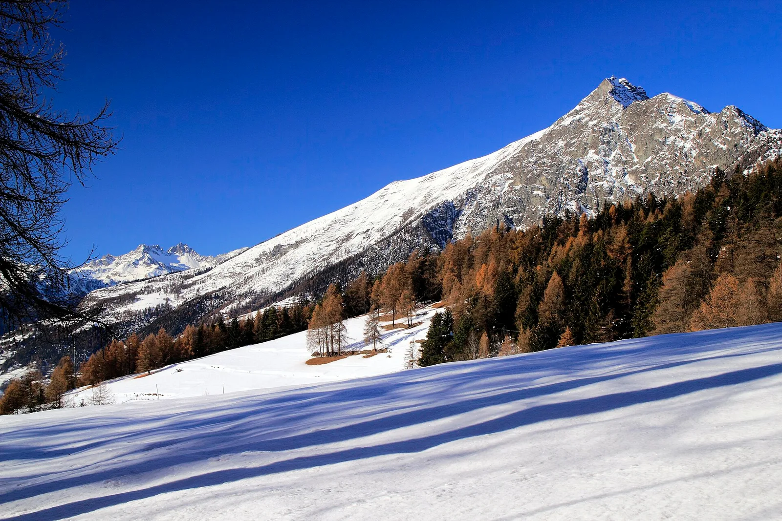
Starting from the centre of Brusson at 1277 m, this trail climbs steadily up the eastern flank of the Val d'Ayas to the summit of Testa di Comagna at 2102 m. Over five kilometres the path gains 820 metres in elevation, passing through orchards and village gardens before entering larch and fir woodland, then opening onto high-altitude pastures. Well marked throughout, the route suits hikers with a good level of fitness. The summit rewards with sweeping views over the valley, the Monte Rosa massif to the east and, on clear days, the Gran Paradiso chain to the west. A classic half-day outing, best enjoyed in summer or early autumn.
Aparcamiento
Galería de fotos
Photos are published immediately. JPG/PNG/WebP, max 6 MB.
Flora del sendero
AEditado y verificado por Andrea Rama
Fuente de datos: Catasto Sentieri Regione Autonoma VdA · Open data — DGR 899/2014
Última verificación:
Val d'Ayas
Senderos relacionados
Mismo valle o rutas similares — más excursiones por descubrir.

Val d'Ayas
Amponey - Becca Trecare
A demanding EE ascent from Amponey to Becca Trecare at 3032m — nearly 1500m of gain on varied terrain with sweeping summit views.

Val d'Ayas
Amponey - Alpe Mascognaz
1.8 km · +309 m · E — from Amponey to Alpe Mascognaz (Central Valley).

Val d'Ayas
Amponey - Bec de Nannaz
In the Val d'Ayas, Ayas: an E-rated climb toward a high-altitude objective through pastures and rock with views of Monte Rosa.

Val d'Ayas
Amponey - Mont Facebelle
In the Val d'Ayas, Ayas: an E/EE-rated climb toward a high-altitude objective in the alpine landscape.