Blanchard - Colle Superiore Cime Bianche
Advertencias
- Above 2500 m snow may persist until late July.
- Start early to avoid summer afternoon thunderstorms.
8.5 km
+1256 m
−0 m
5.5 h
Nivel físico
Mapa y ruta
Traza GPX — verifica sobre el terreno antes de caminar
Descripción
Puntos clave
Salida
Blanchard · 1731 m
Llegada
Colle Superiore Cime Bianche · 2985 m
Sendero
S23
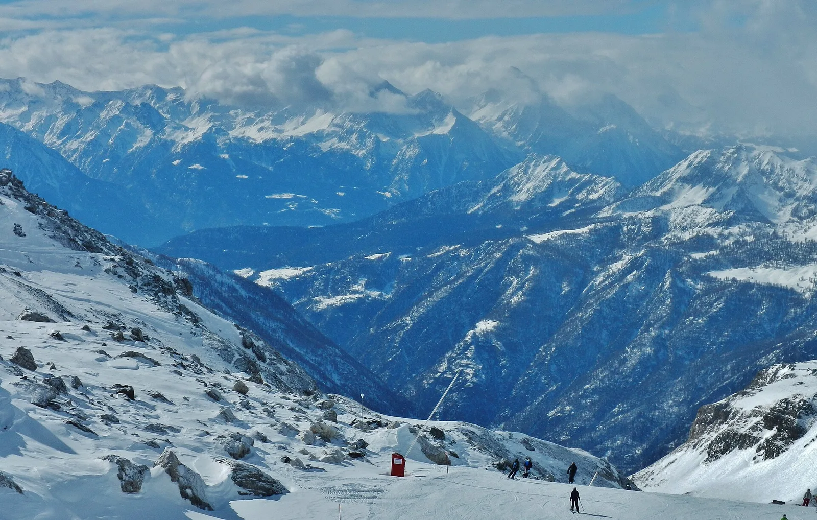
From the village of Blanchard (1731 m) the trail climbs toward the Colle Superiore delle Cime Bianche (2985 m), one of the most panoramic passes in the Valdostan Alps, on the ridge separating Val d'Ayas from Valtournenche. At 8.5 km and 1256 m of elevation gain, the route is long and demands fitness, though the E rating indicates no technical difficulty. The path passes through hamlets above Blanchard, then climbs into the Cime Bianche valley, a high-mountain environment where pale rock — giving the area its name — and high-altitude pastures dominate. The area is a Natura 2000 site. Near the pass, the panorama opens across Gran Paradiso, Monte Rosa, Matterhorn and Mont Blanc. Season: July–September.
Aparcamiento
Galería de fotos
Photos are published immediately. JPG/PNG/WebP, max 6 MB.
Flora del sendero
Fauna que observar
AEditado y verificado por Andrea Rama
Fuente de datos: Catasto Sentieri Regione Autonoma VdA · Open data — DGR 899/2014
Última verificación:
Val d'Ayas
Senderos relacionados
Mismo valle o rutas similares — más excursiones por descubrir.

Val d'Ayas
Amponey - Becca Trecare
A demanding EE ascent from Amponey to Becca Trecare at 3032m — nearly 1500m of gain on varied terrain with sweeping summit views.

Val d'Ayas
Amponey - Alpe Mascognaz
1.8 km · +309 m · E — from Amponey to Alpe Mascognaz (Central Valley).

Val d'Ayas
Amponey - Bec de Nannaz
In the Val d'Ayas, Ayas: an E-rated climb toward a high-altitude objective through pastures and rock with views of Monte Rosa.

Val d'Ayas
Amponey - Mont Facebelle
In the Val d'Ayas, Ayas: an E/EE-rated climb toward a high-altitude objective in the alpine landscape.