Crest - Résy
4.6 km
+262 m
−0 m
2 h
Nivel físico
Mapa y ruta
Traza GPX — verifica sobre el terreno antes de caminar
Descripción
Puntos clave
Salida
Champoluc · 1925 m
Llegada
Résy · 2067 m
Sendero
S45
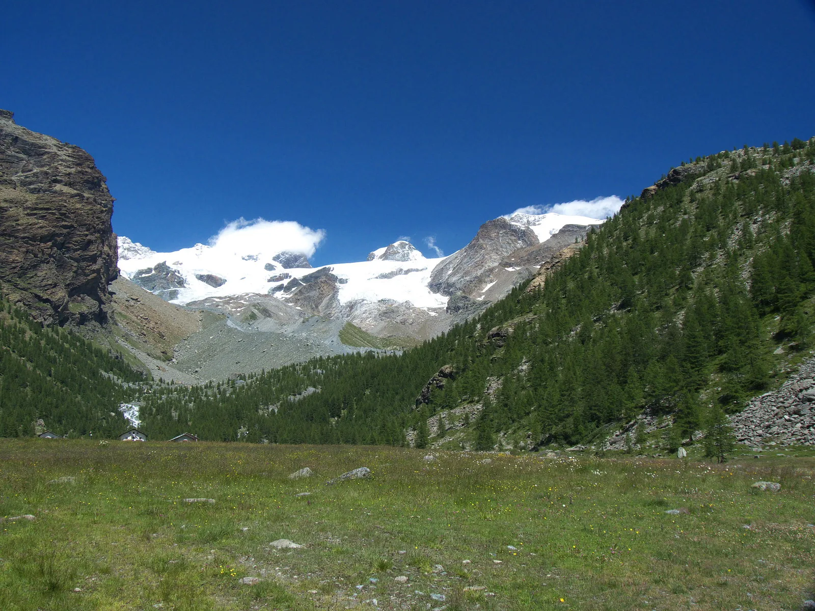
Starting from Champoluc at 1925 metres, the gateway to the Monte Rosa Ski area, this easy tourist-grade trail winds gently up through open pastures and larch woodland to the Alpe Résy at 2067 metres. The modest elevation gain of 262 metres over 4.6 kilometres makes it ideal for families and walkers seeking an accessible mountain experience. Throughout the route, the Monte Rosa massif dominates the skyline to the south-west, its glaciers glinting above the Val d'Ayas valley floor. Résy is a traditional alpine pasture where the views open wide across the valley. The path is accessible from late spring through autumn.
Aparcamiento
Galería de fotos
Photos are published immediately. JPG/PNG/WebP, max 6 MB.
Flora del sendero
AEditado y verificado por Andrea Rama
Fuente de datos: Catasto Sentieri Regione Autonoma VdA · Open data — DGR 899/2014
Última verificación:
Val d'Ayas
Senderos relacionados
Mismo valle o rutas similares — más excursiones por descubrir.

Val d'Ayas
Amponey - Becca Trecare
A demanding EE ascent from Amponey to Becca Trecare at 3032m — nearly 1500m of gain on varied terrain with sweeping summit views.

Val d'Ayas
Amponey - Alpe Mascognaz
1.8 km · +309 m · E — from Amponey to Alpe Mascognaz (Central Valley).

Val d'Ayas
Amponey - Bec de Nannaz
In the Val d'Ayas, Ayas: an E-rated climb toward a high-altitude objective through pastures and rock with views of Monte Rosa.

Val d'Ayas
Amponey - Mont Facebelle
In the Val d'Ayas, Ayas: an E/EE-rated climb toward a high-altitude objective in the alpine landscape.