Champoluc - Testa Grigia
Advertencias
- EEA: glacial equipment required in the final section (crampons/ice axe depending on season).
- Pre-dawn start needed to return before afternoon thunderstorms.
- July–September only. Persistent snow outside season.
8.2 km
+1814 m
−0 m
6.5 h
Nivel físico
Mapa y ruta
Traza GPX — verifica sobre el terreno antes de caminar
Descripción
Puntos clave
Salida
Champoluc · 1569 m
Llegada
Testa Grigia · 3315 m
Sendero
S41
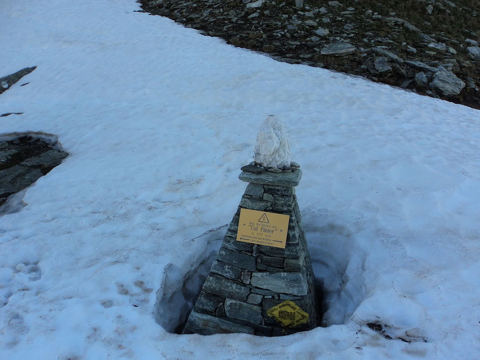
The ascent from Champoluc to Testa Grigia is the most ambitious hiking itinerary in the Val d'Ayas: 8.2 km and 1814 m of elevation gain lead from 1569 m in the village to 3315 m at the glacial boundary between the Italian and Swiss flanks. The EEA classification — experienced hikers with equipment — indicates that the final section requires ability on glacial or semi-glacial terrain: crampons or microspikes may be needed depending on season. The route follows the Pinter valley on the Alta Via no. 1, with the environment progressively changing from larch woodland to rock and ice. The summit panorama takes in all the Monte Rosa four-thousanders and the Matterhorn in the foreground. July–September only; a very early start is essential.
Aparcamiento
Galería de fotos
Photos are published immediately. JPG/PNG/WebP, max 6 MB.
Flora del sendero
Fauna que observar
AEditado y verificado por Andrea Rama
Fuente de datos: Catasto Sentieri Regione Autonoma VdA · Open data — DGR 899/2014
Última verificación:
Val d'Ayas
Senderos relacionados
Mismo valle o rutas similares — más excursiones por descubrir.

Val d'Ayas
Amponey - Becca Trecare
A demanding EE ascent from Amponey to Becca Trecare at 3032m — nearly 1500m of gain on varied terrain with sweeping summit views.

Val d'Ayas
Amponey - Alpe Mascognaz
1.8 km · +309 m · E — from Amponey to Alpe Mascognaz (Central Valley).

Val d'Ayas
Amponey - Bec de Nannaz
In the Val d'Ayas, Ayas: an E-rated climb toward a high-altitude objective through pastures and rock with views of Monte Rosa.

Val d'Ayas
Amponey - Mont Facebelle
In the Val d'Ayas, Ayas: an E/EE-rated climb toward a high-altitude objective in the alpine landscape.