Saint-Jacques - Monte Croce
Advertencias
- EE difficulty: high-altitude experience and route-finding on rocky ground required.
- Summit ridge exposed to wind and rapid weather changes.
- Summer afternoon thunderstorms common above 2500 m.
6.8 km
+1202 m
−0 m
4.5 h
Nivel físico
Mapa y ruta
Traza GPX — verifica sobre el terreno antes de caminar
Descripción
Puntos clave
Salida
Saint-Jacques · 1700 m
Llegada
Monte Croce · 2895 m
Sendero
S19
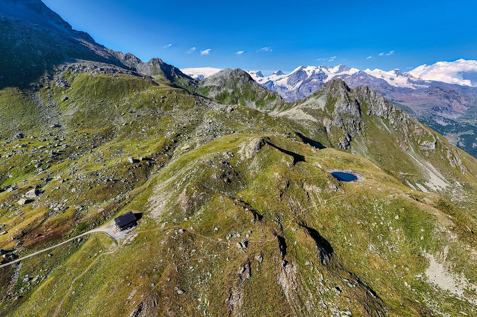
A demanding EE-rated route rising from Saint-Jacques (1700 m) to Monte Croce (2895 m) in the Val d'Ayas. The 6.8 km, 1202-metre ascent crosses pasture, moraine and sections of loose or rocky ground that require confident movement in alpine terrain. Summer afternoon thunderstorms are common above 2500 m and conditions can change rapidly. On a clear day the summit delivers one of the finest panoramas in the central Aosta Valley: the east face of Monte Rosa, the unmistakable silhouette of the Matterhorn and the full chain of Valle d'Aosta glaciers. Technical boots and high-altitude experience are essential.
Aparcamiento
Galería de fotos
Photos are published immediately. JPG/PNG/WebP, max 6 MB.
Flora del sendero
Fauna que observar
AEditado y verificado por Andrea Rama
Fuente de datos: Catasto Sentieri Regione Autonoma VdA · Open data — DGR 899/2014
Última verificación:
Val d'Ayas
Senderos relacionados
Mismo valle o rutas similares — más excursiones por descubrir.

Val d'Ayas
Amponey - Becca Trecare
A demanding EE ascent from Amponey to Becca Trecare at 3032m — nearly 1500m of gain on varied terrain with sweeping summit views.

Val d'Ayas
Amponey - Alpe Mascognaz
1.8 km · +309 m · E — from Amponey to Alpe Mascognaz (Central Valley).

Val d'Ayas
Amponey - Bec de Nannaz
In the Val d'Ayas, Ayas: an E-rated climb toward a high-altitude objective through pastures and rock with views of Monte Rosa.

Val d'Ayas
Amponey - Mont Facebelle
In the Val d'Ayas, Ayas: an E/EE-rated climb toward a high-altitude objective in the alpine landscape.