Veulla - Col du Lac Blanc
7.2 km
+1020 m
−0 m
4.5 h
Nivel físico
Mapa y ruta
Traza GPX — verifica sobre el terreno antes de caminar
Descripción
Puntos clave
Salida
Veulla · 1286 m
Llegada
Col du Lac Blanc · 2309 m
Sendero
S6
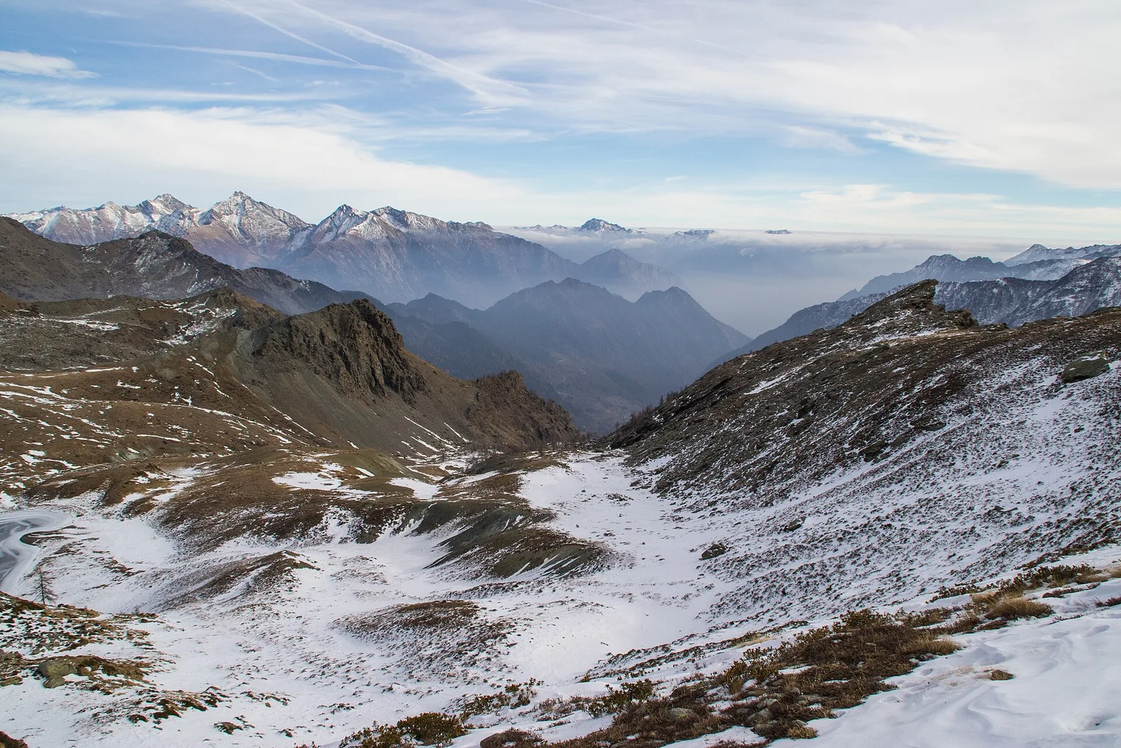
From Veulla (1286 m), a balcony of Charvensod overlooking the Aosta basin, the path (E) reaches the Col du Lac Blanc (2309 m) with just over a thousand metres of ascent. The climb first crosses conifer woods, then opens onto high pastures up to the pass, which links the southern side-valleys of the central valley. In the Aosta Valley, cols have always been transit routes between alpine pastures and side valleys: from this panoramic point the view ranges over the surrounding ridges and, to the north, the border chain. A summer half- to full-day route, of hiking difficulty but with a height gain not to be underestimated.
Aparcamiento
Galería de fotos
Photos are published immediately. JPG/PNG/WebP, max 6 MB.
Flora del sendero
Fauna que observar
AEditado y verificado por Andrea Rama
Fuente de datos: Catasto Sentieri Regione Autonoma VdA · Open data — DGR 899/2014
Última verificación:
Valle di Champorcher
Senderos relacionados
Mismo valle o rutas similares — más excursiones por descubrir.

Valle di Champorcher
Barche - Plan Clavalité - Grand Alpe
13.9 km · +1540 m · E — from Barche to Grand Alpe (Lys Valley).

Valle di Champorcher
Castagnot - Col de Pofouey
3.8 km · +903 m · E — from Castagnot to Colle d'Arcomy (Central Valley).

Valle di Champorcher
Champorcher - Col de la Fricolla
8.8 km · +1350 m · EE — from Champorcher to Col de la Fricolla (Valtournenche).

Valle di Champorcher
Champorcher - Col Laris
10.1 km · +1406 m · E — from Champrocher to Col Laris (Valtournenche).