Runaz - Alpage du Glacier
Advertencias
- High elevation gain: an early start and sufficient water are essential.
- The slope receives full afternoon sun.
8.7 km
+1635 m
−0 m
6.5 h
Nivel físico
Mapa y ruta
Traza GPX — verifica sobre el terreno antes de caminar
Descripción
Puntos clave
Salida
Runaz · 839 m
Llegada
Alp. du Glacier · 2163 m
Sendero
S28
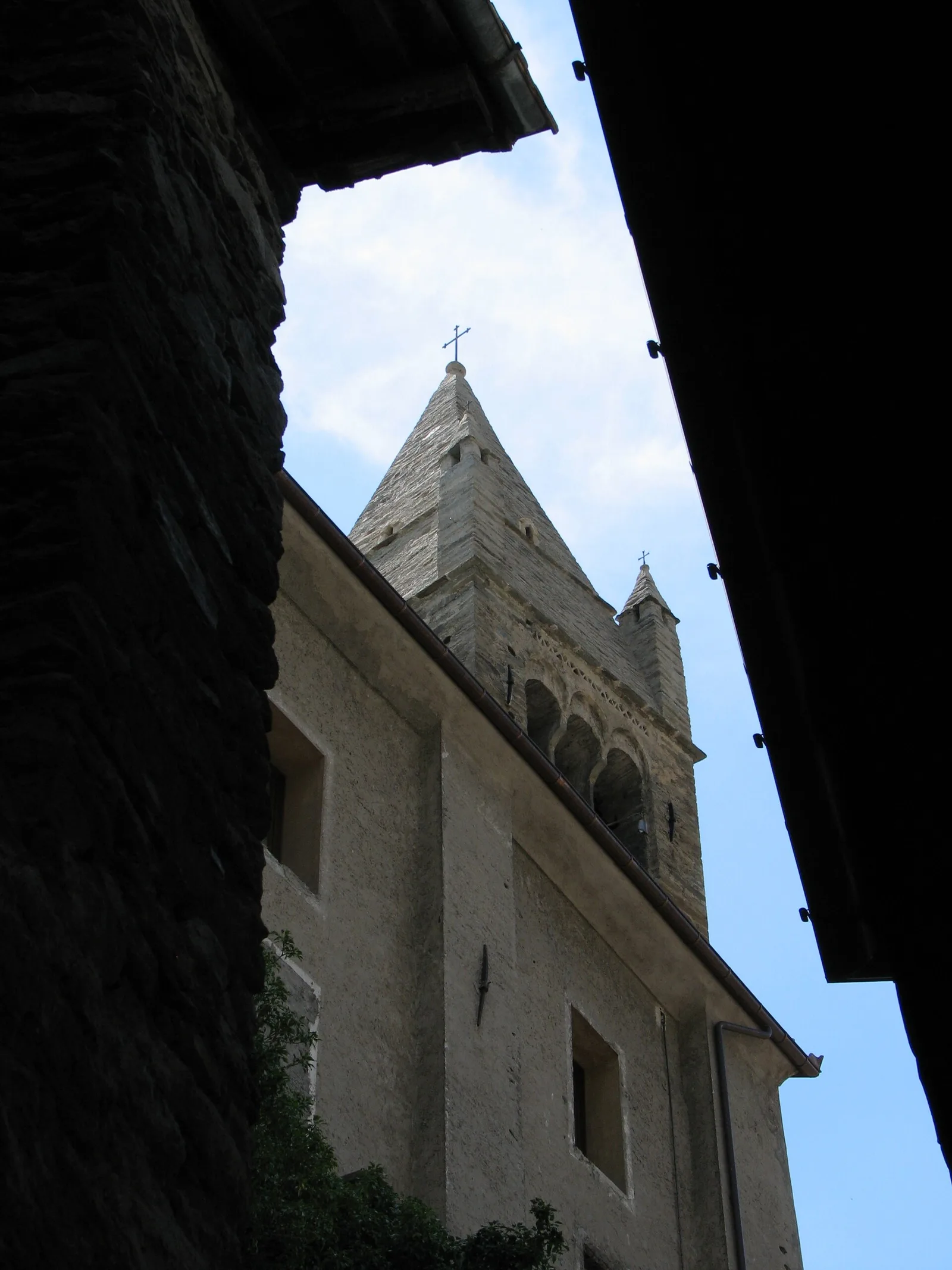
The ascent from Runaz to the Alpage du Glacier is one of the most demanding routes in the Valdigne by vertical gain, with 1635 m of ascent over 8.7 km. The walk begins at Runaz (839 m), a small hamlet in La Salle. The path gains height rapidly through forest, climbing the slope with alternating dense woodland and open meadow sections. As altitude increases, the landscape transforms: the forest gives way to intermediate pastures, then to increasingly open alpine grassland. The Alpage du Glacier (2163 m) is the final destination, a pastoral plateau within the upper La Salle valley zone.
Aparcamiento
Galería de fotos
Photos are published immediately. JPG/PNG/WebP, max 6 MB.
Flora del sendero
Fauna que observar
AEditado y verificado por Andrea Rama
Fuente de datos: Catasto Sentieri Regione Autonoma VdA · Open data — DGR 899/2014
Última verificación:
Valle centrale
Senderos relacionados
Mismo valle o rutas similares — más excursiones por descubrir.

Valle centrale
Anello del Verrand
2.6 km · +233 m · E — from Château Verrand to Château Verrand (Rhêmes Valley).

Valle centrale
Area giochi Croux - Parleyaz
4.1 km · +476 m · E — from Area giochi Croux to Parleyaz (Central Valley).

Valle centrale
Arlier - Cloutraz (Pontey)
From Arlier (603m) to Cloutraz (1067m) on the Châtillon hillside: 3.5 km E through vineyards, woodland and views over the Dora Baltea.

Valle centrale
Arpilles - Champromenty
2.1 km · +333 m · E — from Arpilles to Champromenty (Lys Valley).