Thumel - Rifugio Benevolo
3.7 km
+390 m
−0 m
2 h
Nivel físico
Mapa y ruta
Traza GPX — verifica sobre el terreno antes de caminar
Descripción
Puntos clave
Salida
Thumel · 1896 m
Llegada
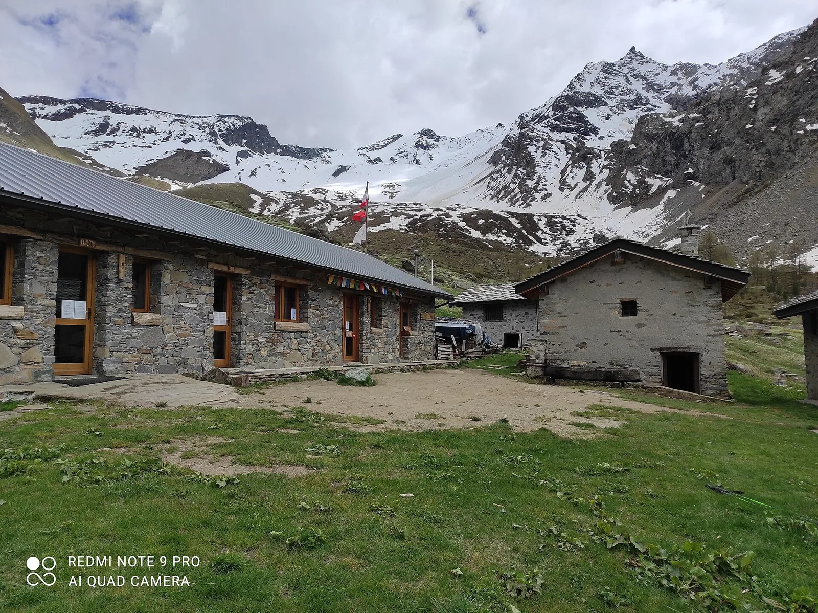
Rifugio Benevolo · 2296 m
Sendero
S13
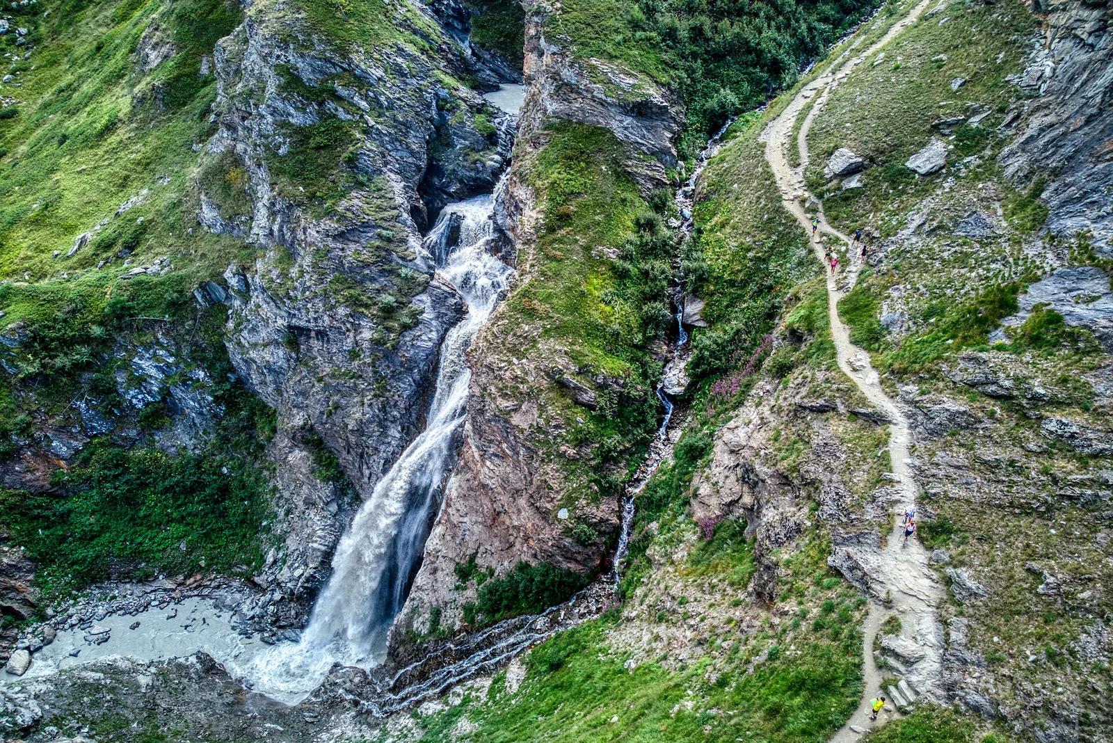
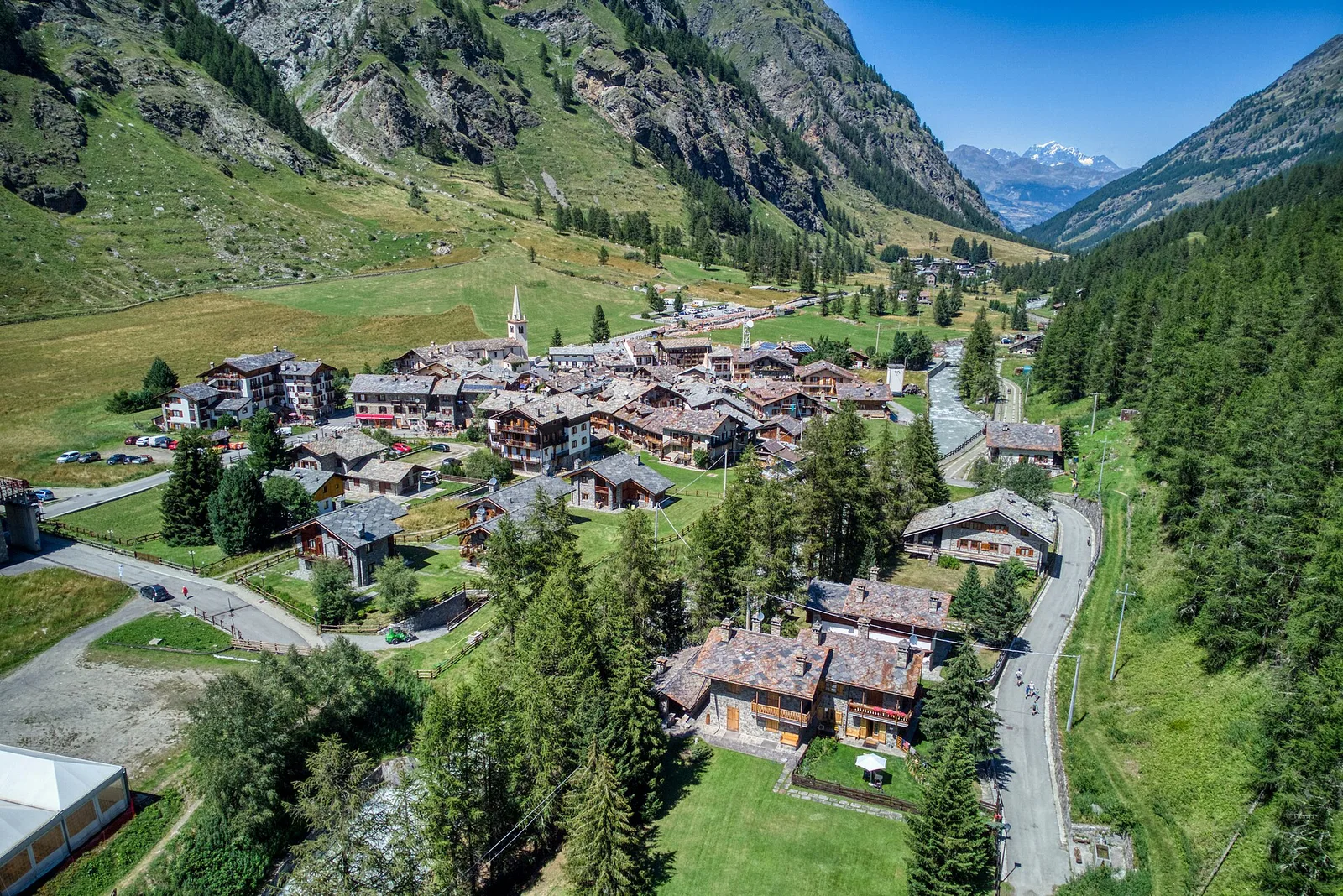
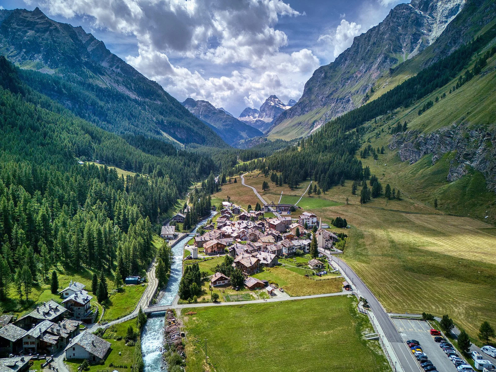
Thumel - Rifugio Benevolo is an official trail from the Aosta Valley trail registry (code 55_S13). The route lies in the municipality of Roisan, in the Great St Bernard Valley. From Thumel (1896 m) to Rifugio Benevolo (2296 m): 3.7 km with +390 m of elevation change, difficulty E (CAI scale). Minimum elevation 1896 m, maximum 2296 m. Recommended season per registry: Giugno-settembre (months 6, 7, 8, 9). Waymarking: 13 segnavia recorded in the registry. GPX track and elevation data from Regione Autonoma Valle d'Aosta (open data DGR 899/2014).
Aparcamiento
Galería de fotos
Photos are published immediately. JPG/PNG/WebP, max 6 MB.
Flora del sendero
Fauna que observar
AEditado y verificado por Andrea Rama
Fuente de datos: Catasto Sentieri Regione Autonoma VdA · Open data — DGR 899/2014
Última verificación:
Val di Rhêmes
Senderos relacionados
Mismo valle o rutas similares — más excursiones por descubrir.
Val di Rhêmes
Artalle - Pechaud - Chaussettaz
2.9 km · +535 m · E — from Artalle to Chaussettaz (Great St Bernard Valley).
Val di Rhêmes
Bruil - Casotto PNGP di Sort
2.7 km · +571 m · E — from Bruil to Casotto PNGP di Sort (Great St Bernard Valley).
Val di Rhêmes
Bruil - Chaussettaz
2.6 km · +472 m · E — from Bruil to Chaussettaz (Great St Bernard Valley).
Val di Rhêmes
Bruil - Col d'Entrelor
5.6 km · +1281 m · E — from Bruil to Col d'Entrelor (Great St Bernard Valley).