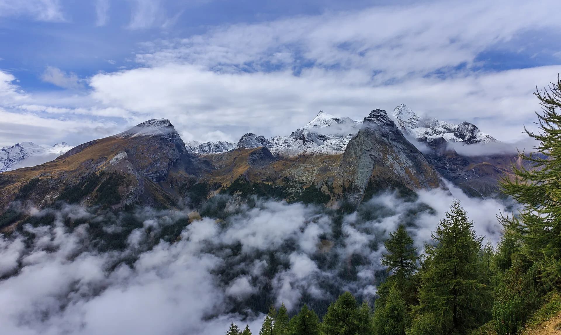
Lake Djouan from Valnontey
Advertencias
- Start before 8 AM in August to avoid crowds
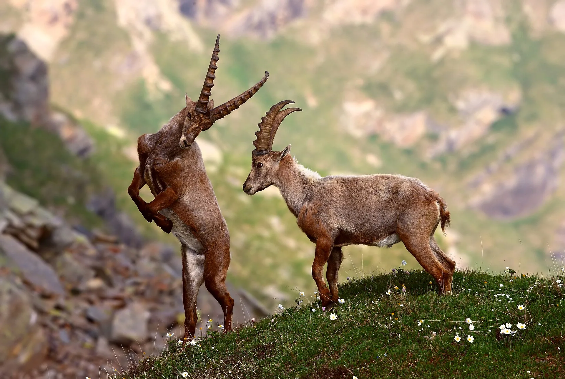
- Do not approach ibex (minimum 30 m distance)
- Afternoon thunderstorms common in summer
 1 / 2
1 / 211 km
+850 m
−850 m
5.5 h
Nivel físico
~2700 kcal estimadas
Mapa y ruta
Traza GPX — verifica sobre el terreno antes de caminar
Descripción
Puntos clave
Salida
Valnontey · 1666 m
Llegada
Valnontey · 1666 m
From Valnontey village (1666 m), a well-marked trail climbs the Lauson pastures up to Lake Djouan at 2515 m. Ibex sightings are very likely, especially early morning. Crowded in August — start before 8 AM.
Puntos clave
Alpe Lauson
2100 m · 5.5 km from start
Pastures with frequent ibex sightings
Ciencias de la Tierra
Geología y paisaje
The trail climbs the southern Gran Paradiso slope on Penninic calcschists and micaschists with augen gneiss outcrops of the Austroalpine basement above 2200 m. Lauson pastures develop on Würmian glacial deposits with rebuilt moraines and lacustrine sediments. Lake Djouan occupies a cirque carved by the Würm glacier with terminal moraines and proglacial deposits. Rocks around the lake show glacial striations and meltwater potholes. Gran Paradiso granite (Dora-Maira unit) outcrops appear near Becca di Moncorvé. Periglacial scree deposits indicate instability on slopes above 2400 m.
Historia y cultura
Valnontey is the southern gateway to Gran Paradiso National Park, established in 1922. The lake is a classic ibex-watching destination, symbol of the park.
Fuentes de agua
Fountain in Valnontey. Springs at Lauson in summer. Do not drink lake water.
Cómo llegar
VITA bus to Cogne from Aosta with Valnontey connection in peak season.
Aparcamiento
Parcheggio Lauson a Valnontey (area del Parco Nazionale Gran Paradiso).
Cumbres cercanas
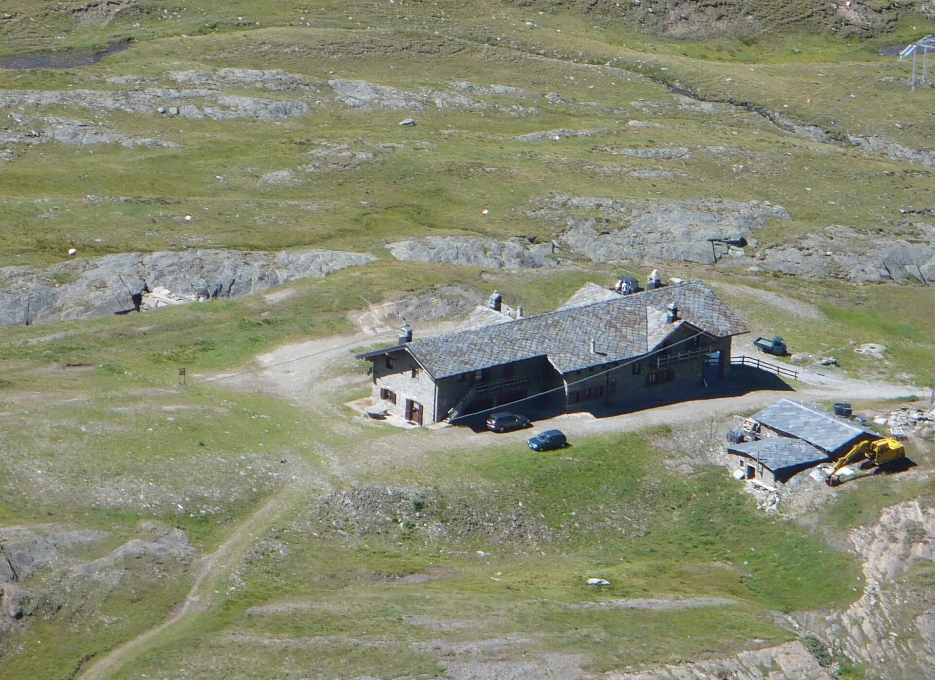
Refugios y vivacs
Galería de fotos
Photos are published immediately. JPG/PNG/WebP, max 6 MB.
Flora del sendero
Fauna que observar
AEditado y verificado por Andrea Rama
Fuente de datos: Parco Nazionale Gran Paradiso · Open data
Última verificación:
Val di Cogne
Senderos relacionados
Mismo valle o rutas similares — más excursiones por descubrir.

Val di Cogne
Alpe Bardoney (incrocio sentieri 12-13G)- Col de l'Arolla
5.3 km · +684 m · EE — from Alpe Bardoney (incrocio sentieri 12-13G) to Col de l'Arolla (Lys Valley).
Val di Cogne
High Route 2 — Stage 10: Cogne → Rifugio Sogno di Berdzé
Climb from Cogne centre to Rifugio Sogno di Berdzé at Péradzà.
Val di Cogne
High Route 2 — Stage 9: Rifugio Vittorio Sella → Cogne
Scenic descent from Vittorio Sella to Cogne via Valnontey.

Val di Cogne
Antiche miniere di ferro di Colonna
3.8 km · +852 m · E — from Moline to Miniere di Colonna (Lys Valley).