Charbonnière - Vedun (ru de Charbonnière)
3.4 km
+260 m
−0 m
1.5 h
Nivel físico
Mapa y ruta
Traza GPX — verifica sobre el terreno antes de caminar
Descripción
Puntos clave
Salida
Charbonnière · 1271 m
Llegada
Vedun (ru de Charbonnière) · 1519 m
Sendero
S19
Official trail from the Aosta Valley Trail Cadastre in the municipality of Avise, Valle centrale. It runs from Charbonnière (1271 m) to Vedun (ru de Charbonnière) (1519 m), covering 3.4 km with +260 m of ascent. Difficulty Hiking (E) on the CAI scale, with an estimated walking time of about 1 h 30′. Recommended period: May, June, July, August, September and October.
Aparcamiento
Galería de fotos
Photos are published immediately. JPG/PNG/WebP, max 6 MB.
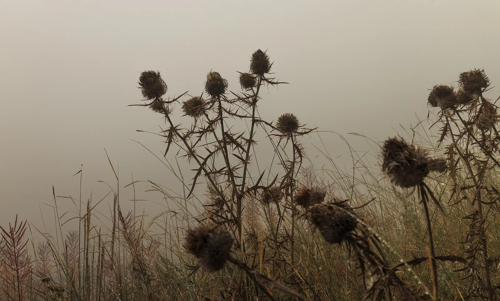
Flora del sendero
Fauna que observar
AEditado y verificado por Andrea Rama
Fuente de datos: Catasto Sentieri Regione Autonoma VdA · Open data — DGR 899/2014
Última verificación:
Valle centrale
Senderos relacionados
Mismo valle o rutas similares — más excursiones por descubrir.

Valle centrale
Anello del Verrand
2.6 km · +233 m · E — from Château Verrand to Château Verrand (Rhêmes Valley).

Valle centrale
Area giochi Croux - Parleyaz
4.1 km · +476 m · E — from Area giochi Croux to Parleyaz (Central Valley).

Valle centrale
Arlier - Cloutraz (Pontey)
From Arlier (603m) to Cloutraz (1067m) on the Châtillon hillside: 3.5 km E through vineyards, woodland and views over the Dora Baltea.

Valle centrale
Arpilles - Champromenty
2.1 km · +333 m · E — from Arpilles to Champromenty (Lys Valley).