Ostafa - Col du Pinter
Advertencias
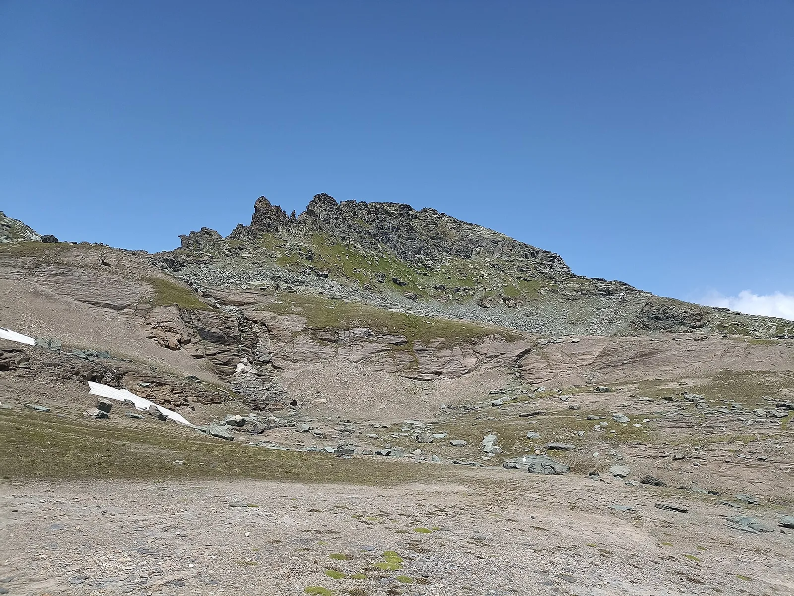
- Final section on scree and rock with steep or exposed steps: requires a sure foot and a head for heights (EE grade).
- High-altitude route: start early, plan time and water, and turn back before early afternoon.
- Residual snow may linger in gullies and on north-facing slopes into early summer: assess current conditions.
3 km
+360 m
−0 m
1.5 h
Nivel físico
Mapa y ruta
Traza GPX — verifica sobre el terreno antes de caminar
Descripción
Puntos clave
Salida
Ostafa · 2419 m
Llegada
Col du Pinter · 2776 m
Sendero
S42
The Col du Pinter (2,777 m) is the historic pass linking the Ayas Valley with Gressoney's Lys Valley. From the Ostafa alp, reached from the Champoluc plateaux, waymark no. 12 climbs through pastures and scree to the col, which offers one of the widest panoramas in the Alps: the whole south face of Monte Rosa with its 4,000ers, the Matterhorn to the west and, beyond the pass, the Walser villages of Gressoney. A classic traverse stage and a goal in itself for fit hikers; snow can linger high up into early summer.
Aparcamiento
Galería de fotos
Photos are published immediately. JPG/PNG/WebP, max 6 MB.
Flora del sendero
AEditado y verificado por Andrea Rama
Fuente de datos: Catasto Sentieri Regione Autonoma VdA · Open data — DGR 899/2014
Última verificación:
Valle del Lys
Senderos relacionados
Mismo valle o rutas similares — más excursiones por descubrir.

Valle del Lys
Anello dei Gemelli della Mologna
8.9 km · +996 m · EEA — from Niel to Niel (Great St Bernard Valley).

Valle del Lys
Balmeto - Leck Albezò
1.2 km · +287 m · E — from Balmeto to Leck Albezò (Champorcher Valley).

Valle del Lys
Bino - Passo di Valnera
4.5 km · +1280 m · E — from Bino to Alpe Jatza (Champorcher Valley).

Valle del Lys
Cascate di Niel
0.6 km · +80 m · E — from Start 7B to Cascate di Niel (Great St Bernard Valley).