Strada per Estoul - Col de Palasinaz
Advertencias
- High-altitude route: start early, plan time and water, and turn back before early afternoon.
- Residual snow may linger in gullies and on north-facing slopes into early summer: assess current conditions.
- In fog the path across pastures and boulder fields can be hard to follow: rely on waymarks and a map.
6.3 km
+797 m
−0 m
3.5 h
Nivel físico
Mapa y ruta
Traza GPX — verifica sobre el terreno antes de caminar
Descripción
Puntos clave
Salida
Strada per Estoul · 1884 m
Llegada
Col de Palasinaz · 2676 m
Sendero
S12
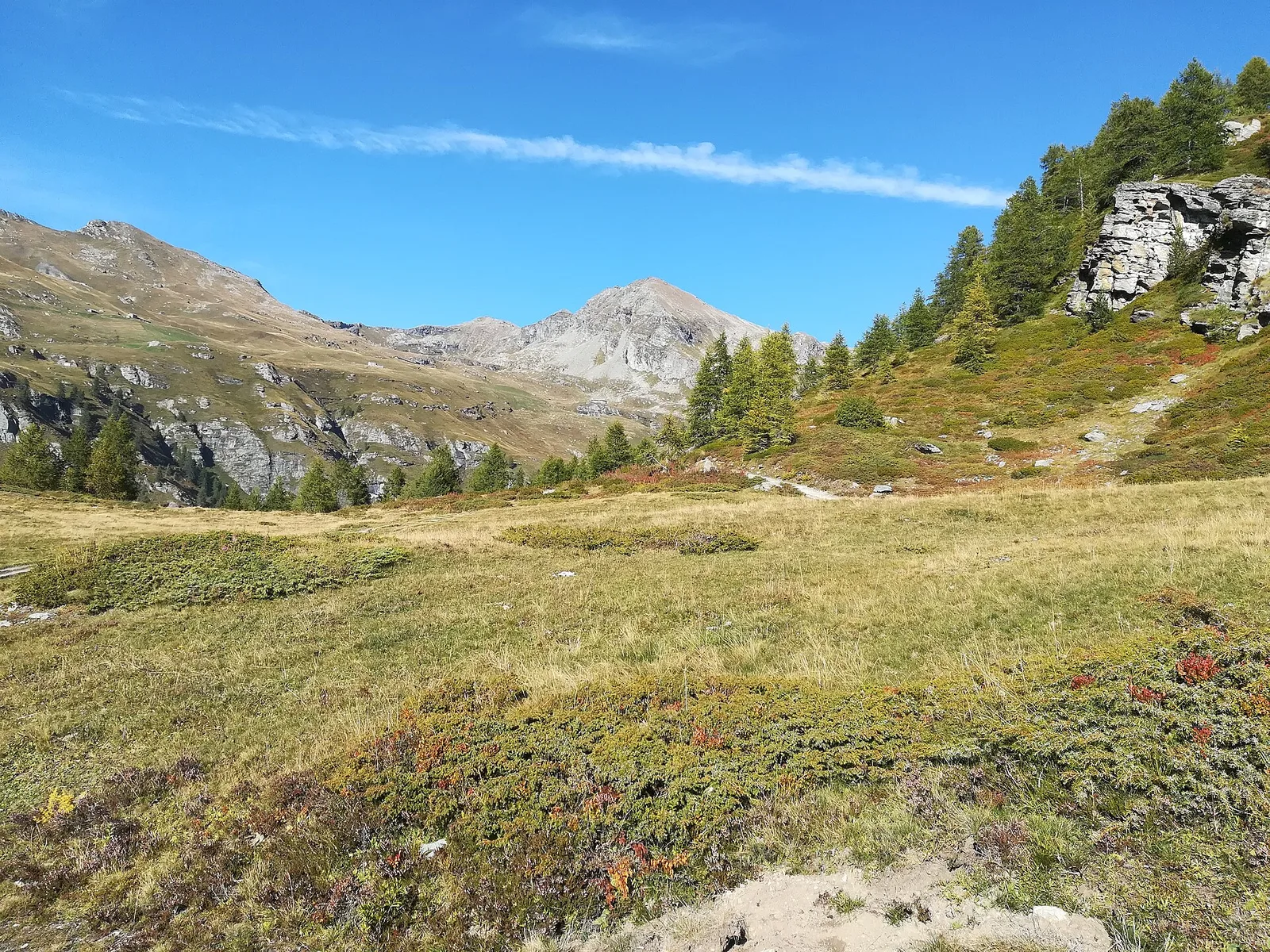
Starting from Estoul at 1884 m in the municipality of Brusson, this 6.3 km trail climbs 797 m to the Col de Palasinaz at 2676 m, a pass connecting the middle Val d'Ayas with Champoluc. The terrain is largely grassy in the lower half, becoming stonier toward the col. Estoul is a small alpine hamlet with basic services, and the high starting elevation makes for a relatively gradual ascent. Rated E, suitable for hikers in good physical shape. The Col de Palasinaz offers wide views over the entire Monte Rosa head-wall.
Aparcamiento
Galería de fotos
Photos are published immediately. JPG/PNG/WebP, max 6 MB.
Flora del sendero
AEditado y verificado por Andrea Rama
Fuente de datos: Catasto Sentieri Regione Autonoma VdA · Open data — DGR 899/2014
Última verificación:
Valle del Lys
Senderos relacionados
Mismo valle o rutas similares — más excursiones por descubrir.

Valle del Lys
Anello dei Gemelli della Mologna
8.9 km · +996 m · EEA — from Niel to Niel (Great St Bernard Valley).

Valle del Lys
Balmeto - Leck Albezò
1.2 km · +287 m · E — from Balmeto to Leck Albezò (Champorcher Valley).

Valle del Lys
Bino - Passo di Valnera
4.5 km · +1280 m · E — from Bino to Alpe Jatza (Champorcher Valley).

Valle del Lys
Cascate di Niel
0.6 km · +80 m · E — from Start 7B to Cascate di Niel (Great St Bernard Valley).