Strada per Estoul - Mont Bieteron
5.2 km
+886 m
−0 m
3.5 h
Nivel físico
Mapa y ruta
Traza GPX — verifica sobre el terreno antes de caminar
Descripción
Puntos clave
Salida
Estoul · 1884 m
Llegada
Mont Bieteron · 2763 m
Sendero
S18
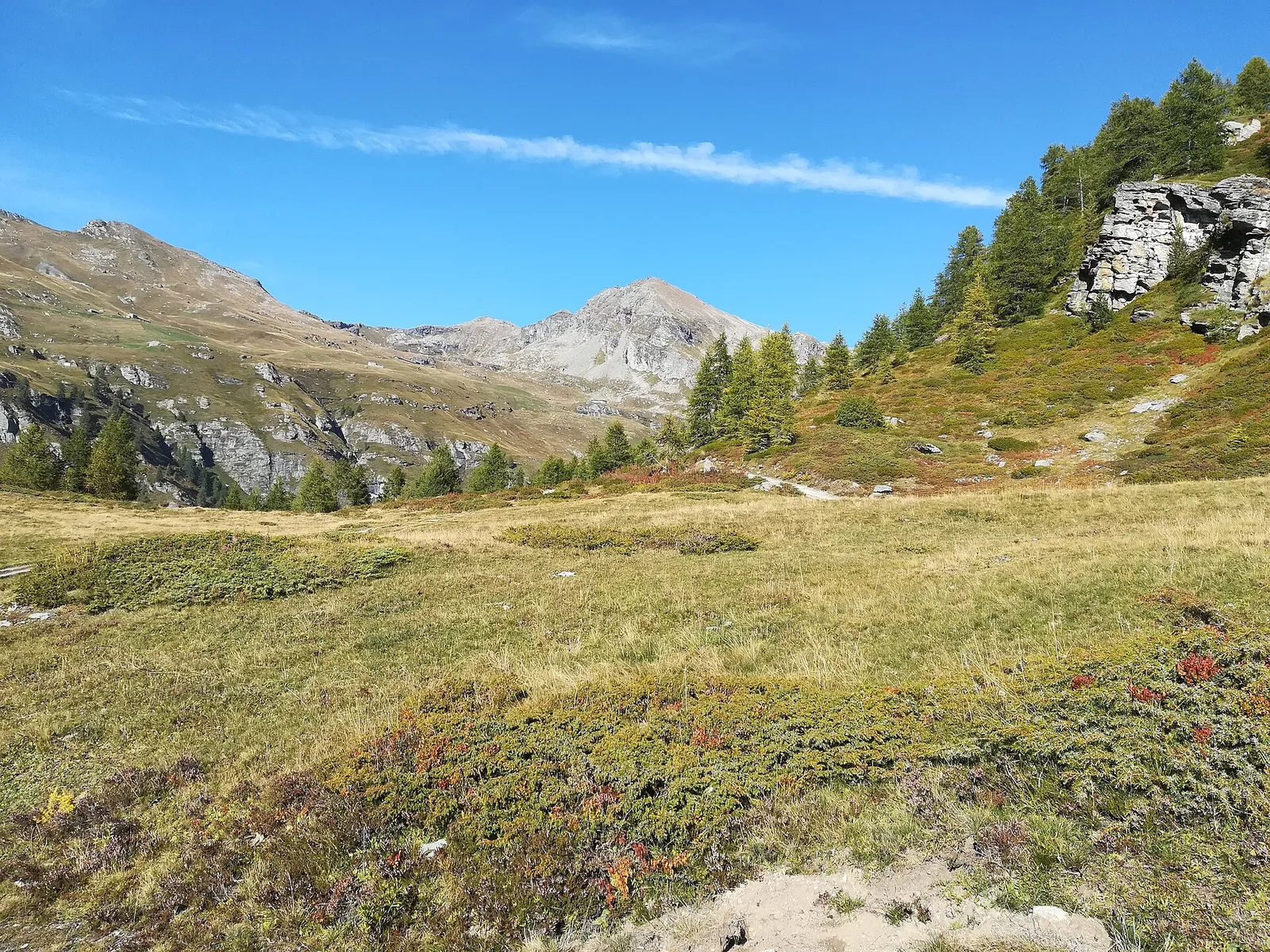
Official trail from the Aosta Valley Trail Cadastre in the municipality of Brusson, Valle del Lys. It runs from Estoul (1884 m) to Mont Bieteron (2763 m), covering 5.2 km with +886 m of ascent. Difficulty Experienced hikers (EE) on the CAI scale, with an estimated walking time of about 3 h 30′. Along the way there are 6 signposts/markers of the regional trail network, to follow at junctions together with the white-and-red blazes. Recommended period: June, July, August and September.
Aparcamiento
Galería de fotos
Photos are published immediately. JPG/PNG/WebP, max 6 MB.
Flora del sendero
AEditado y verificado por Andrea Rama
Fuente de datos: Catasto Sentieri Regione Autonoma VdA · Open data — DGR 899/2014
Última verificación:
Valle del Lys
Senderos relacionados
Mismo valle o rutas similares — más excursiones por descubrir.

Valle del Lys
Anello dei Gemelli della Mologna
8.9 km · +996 m · EEA — from Niel to Niel (Great St Bernard Valley).

Valle del Lys
Balmeto - Leck Albezò
1.2 km · +287 m · E — from Balmeto to Leck Albezò (Champorcher Valley).

Valle del Lys
Bino - Passo di Valnera
4.5 km · +1280 m · E — from Bino to Alpe Jatza (Champorcher Valley).

Valle del Lys
Cascate di Niel
0.6 km · +80 m · E — from Start 7B to Cascate di Niel (Great St Bernard Valley).