Le sorgenti del Lys
3.3 km
+571 m
−0 m
2.5 h
Nivel físico
Mapa y ruta
Traza GPX — verifica sobre el terreno antes de caminar
Descripción
Puntos clave
Salida
Staffal · 1824 m
Llegada
Sorgenti del Lys · 2417 m
Sendero
S2
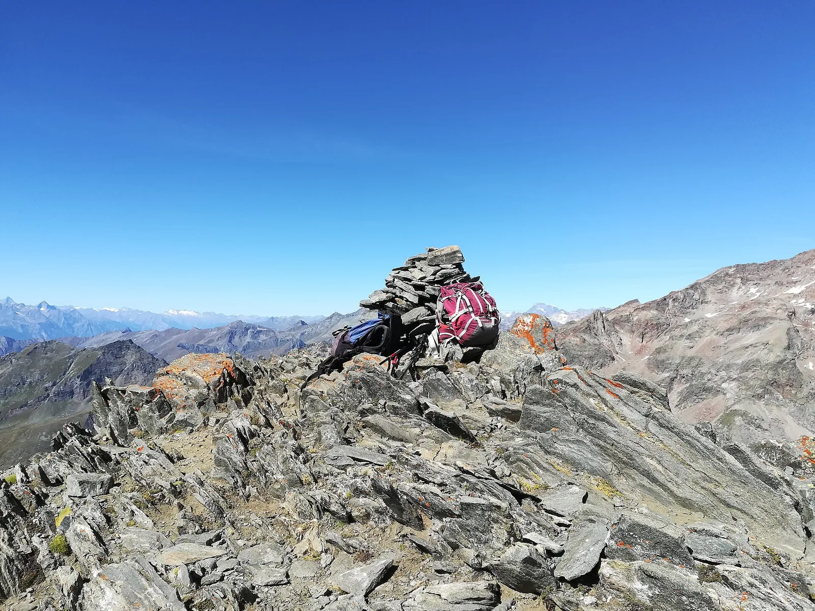
A short but steep climb from Staffal to the Sources of the Lys, where the torrent that names the valley is born from the snout of the Lys glacier. It is a route of great glaciological interest: you walk on recent moraines, among polished rocks and potholes, reading the glacier's retreat of recent decades at a glance. The severe, mineral setting at the foot of the Lyskamm wall tells the story of Alpine ice dynamics and their changes better than any museum.
Ciencias de la Tierra
Geología y paisaje
Geologically this is the heart of the Monte Rosa nappe: gneisses and granites of European continental crust, wrapped in the greenstones (serpentinites and prasinites) of the ancient Alpine ocean, today shaped by the Lys glaciers.
Historia y cultura
The valley is home to the Walser, Alemannic settlers who came down from Valais in the 13th century over the glacier passes of Monte Rosa: in Gressoney the Töitschu language, the timber-and-stone houses (stadel) and the German place names that dot the mountain still survive.
Aparcamiento
Galería de fotos
Photos are published immediately. JPG/PNG/WebP, max 6 MB.
Flora del sendero
Fauna que observar
AEditado y verificado por Andrea Rama
Fuente de datos: Catasto Sentieri Regione Autonoma VdA · Open data — DGR 899/2014
Última verificación:
Valle del Lys
Senderos relacionados
Mismo valle o rutas similares — más excursiones por descubrir.

Valle del Lys
Anello dei Gemelli della Mologna
8.9 km · +996 m · EEA — from Niel to Niel (Great St Bernard Valley).

Valle del Lys
Balmeto - Leck Albezò
1.2 km · +287 m · E — from Balmeto to Leck Albezò (Champorcher Valley).

Valle del Lys
Bino - Passo di Valnera
4.5 km · +1280 m · E — from Bino to Alpe Jatza (Champorcher Valley).

Valle del Lys
Cascate di Niel
0.6 km · +80 m · E — from Start 7B to Cascate di Niel (Great St Bernard Valley).