Val Ferret svizzera — Vallée d’Entremont
Tour du Mont Blanc — Stage 5: La Fouly → Champex-Lac
Advertencias
- Book overnight stops in peak season
14.4 km
+506 m
−811 m
6 h
Nivel físico
Mapa y ruta
Traza GPX — verifica sobre el terreno antes de caminar
Descripción
Puntos clave
Salida
La Fouly · 1605 m
Llegada
Champex-Lac · 1478 m
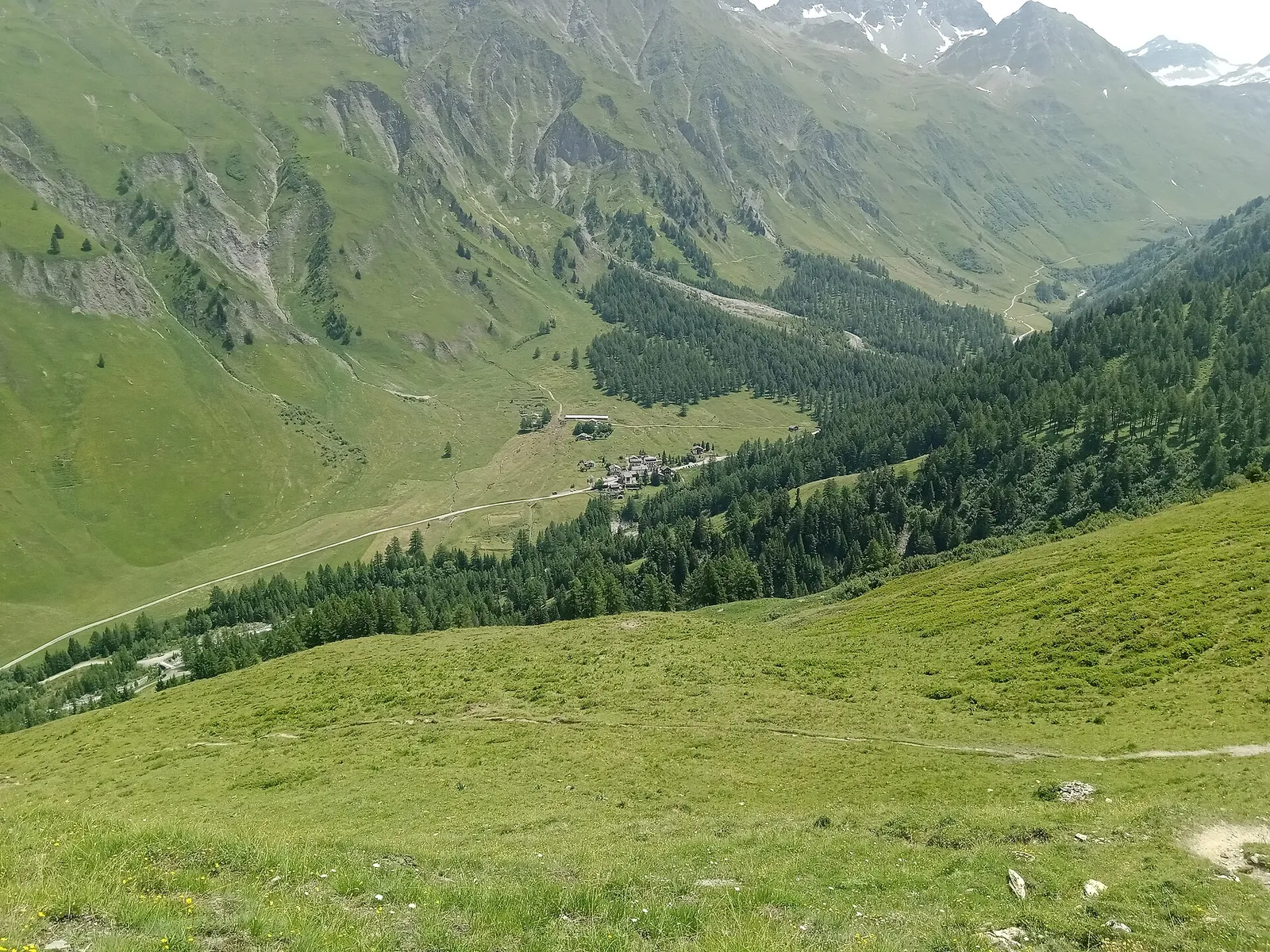
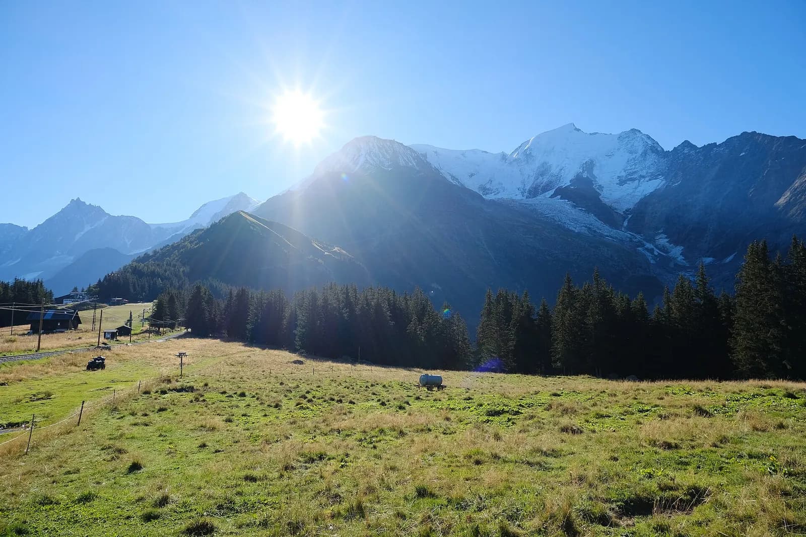
From La Fouly the TMB descends along the Drance de Ferret through the villages of Praz-de-Fort and Issert, between woods and hay meadows, then climbs through forest to Champex-Lac (1,466 m), Switzerland’s “little Canada” set on its alpine lake.
A breather of a stage, perfect for recharging: the walking is downhill or gently rolling along the Drance de Ferret, through the stone-and-timber villages of Praz-de-Fort and Issert, past mown fields, kitchen gardens and the typical Valais granaries perched on stone mushrooms. The only real climb is the final forest pull into the Champex basin, announced by its emerald lake mirroring the Combins. Champex-Lac has every service: shops, hotels, a lake boat and the chairlift to La Breya. Water fountains in every village along the way.
Ciencias de la Tierra
Geología y paisaje
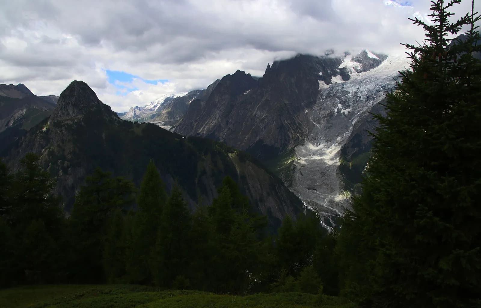
The Mont Blanc massif is a Hercynian granite batholith (~300 million years old) uplifted by the Alpine orogeny: the pale Mont Blanc granite — the “protogine” — forms the Peuterey and Géant spires. At its feet the tour walks on older crystalline basement rocks (gneiss and micaschist) and, in Val Veny, on the Mesozoic limestones of the Pyramides Calcaires, a sliver of sedimentary cover pinched between the granites. The Miage and Brenva moraines are textbook examples.
Historia y cultura
The granaries on stone “mushrooms” at Praz-de-Fort and Issert protected the harvest from rodents: they are among the best-preserved examples of Valais rural architecture.
Fuentes de agua
Water at the stage's support points (La Fouly, Champex-Lac). On the high ground and at the passes springs are not guaranteed: fill bottles in the valley and at the huts.
Cómo llegar
Cross-border stage: on the foreign sides local public transport applies (PostAuto in Switzerland, line buses in France/Piedmont). Check seasonal timetables; in peak season several access links run by reservation only.
Aparcamiento
Galería de fotos
Photos are published immediately. JPG/PNG/WebP, max 6 MB.
Etapas contiguas
AEditado y verificado por Andrea Rama
Fuente de datos: Tour du Mont Blanc — itinerario internazionale segnalato · Traccia calcolata su rete sentieri OpenStreetMap (ODbL); verificare sul terreno
Última verificación:
Val Ferret svizzera — Vallée d’Entremont
Senderos relacionados
Mismo valle o rutas similares — más excursiones por descubrir.
Val Ferret
Tour du Mont Blanc — Stage 1: Courmayeur → Rifugio Giorgio Bertone
A steady climb from Courmayeur to the Rifugio Bertone balcony.
Valle di Chamonix — Val Montjoie
Tour du Mont Blanc — Stage 10: Les Houches → Les Contamines-Montjoie
The Col de Voza and the gentle Val Montjoie.
Val Montjoie — Vallée des Glaciers
Tour du Mont Blanc — Stage 11: Les Contamines-Montjoie → Les Chapieux
The great Bonhomme crossing, the wild heart of the French TMB.
Vallée des Glaciers — Val Veny
Tour du Mont Blanc — Stage 12: Les Chapieux → Rifugio Elisabetta Soldini
The Col de la Seigne: back into Italy, into the great Mont Blanc amphitheatre.