Anello dei Villaggi di Antey ( Ruvère, Liesse,Fontaney, Villettaz)

5.2 km
+456 m
−0 m
2.5 h
Nível físico
Mapa e percurso
Traço GPX — verifique no terreno antes de caminhar
Descrição
Pontos-chave
Partida
Ruvère · 1015 m
Chegada
Ruvère · 1015 m
Trilho
S8
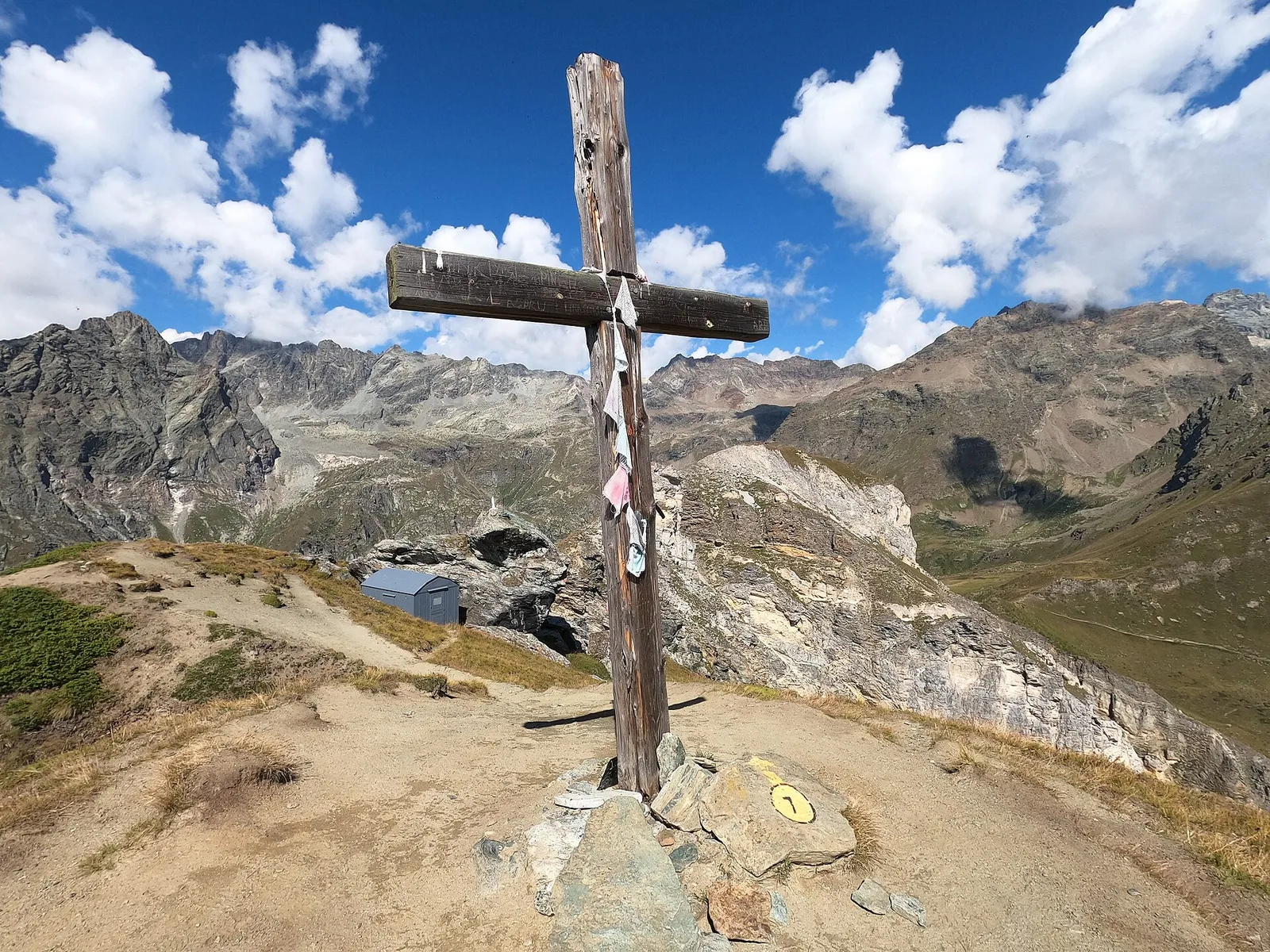
The village loop of Antey-Saint-André unfolds across the sunny slopes overlooking the Valtournenche, linking a series of small hamlets in a single circular route across mid-mountain terrain. The walk starts and ends at Ruvère (1015 m). The trail follows well-marked paths and farm tracks through conifer woodland, vineyards and terraced meadows, with open views across the valley floor and surrounding peaks. At 5.2 km with 456 m of elevation gain, the route passes hamlets that preserve the traditional rural architecture of the Aosta Valley: votive chapels, stone mayens and hay barns. The E rating marks a straightforward hiking route suitable for walkers of average fitness.
Estacionamento
Galeria de fotos
Photos are published immediately. JPG/PNG/WebP, max 6 MB.
Flora do trilho
AEditado e verificado por Andrea Rama
Fonte dos dados: Catasto Sentieri Regione Autonoma VdA · Open data — DGR 899/2014
Última verificação:
Valtournenche
Trilhos relacionados
Mesmo vale ou percursos semelhantes — mais caminhadas para descobrir.

Valtournenche
Anello Area sportiva-Fiernaz-Area sportiva
2.9 km · +28 m · T — from Area sportiva to Area sportiva (Valtournenche).

Valtournenche
Anello di Champlève
1.9 km · +140 m · E — from Champlève to Champlève (Central Valley).

Valtournenche
Area Pic Nic Champlong - Becca d'Aver e Cima Longhede
6.4 km · +913 m · E — from Area Pic Nic Champlong to Cima Longhede (Valsavarenche).
Valtournenche
Area Pic-Nic Liortere - Falegnon
2 km · +107 m · E — from area pic-nic to Falegnon (Central Valley).