E
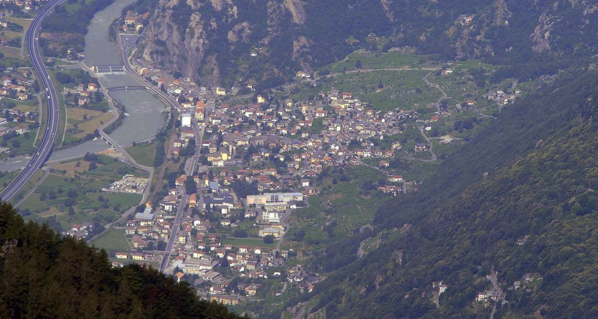
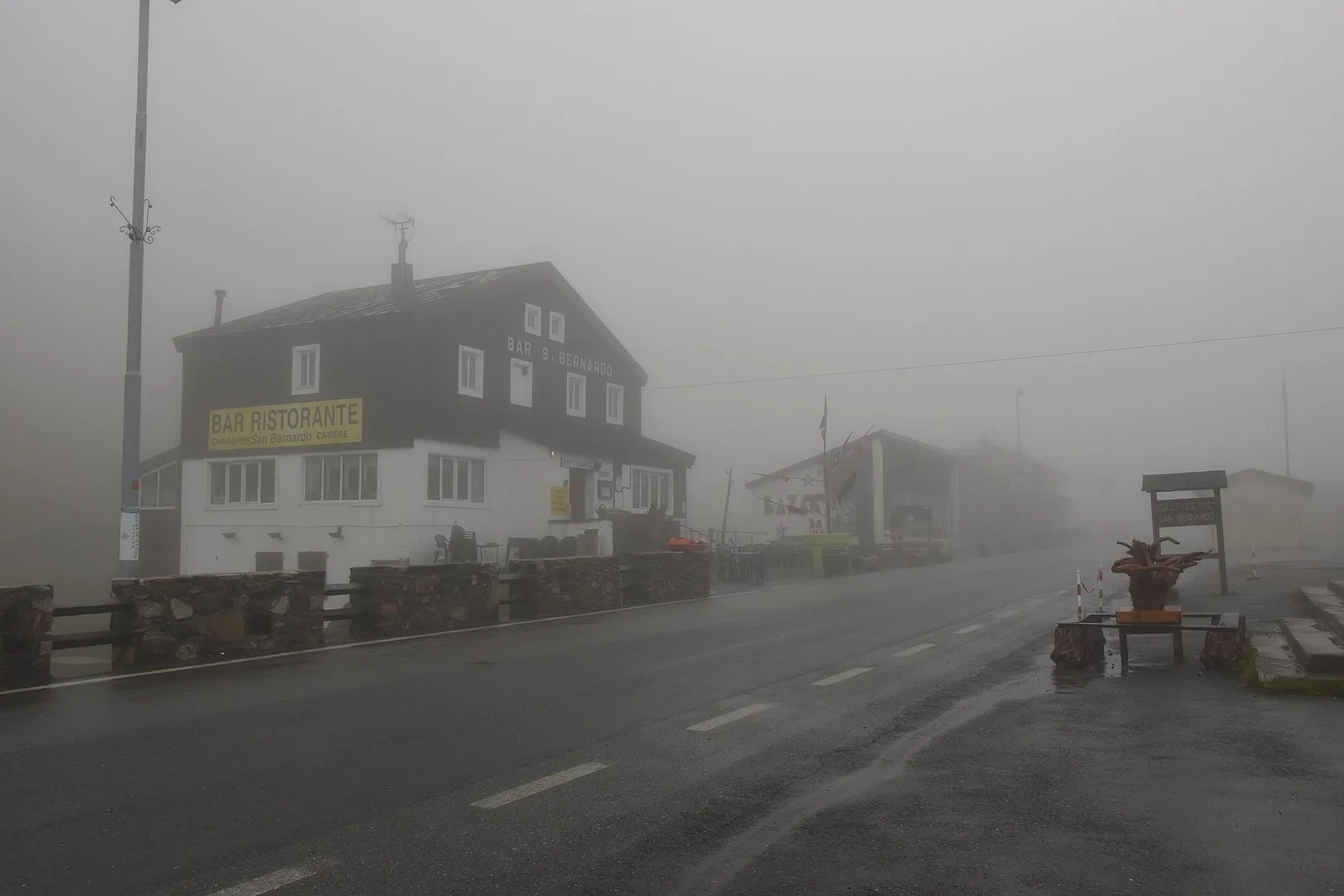
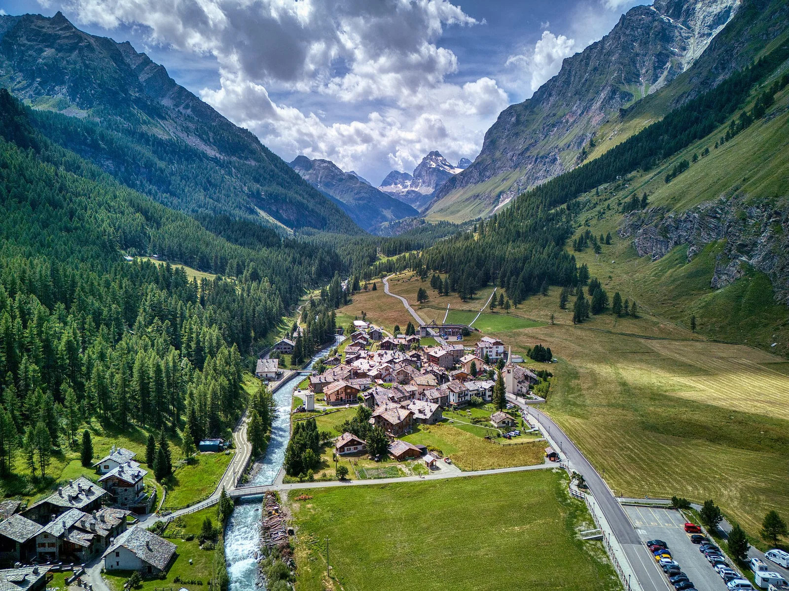
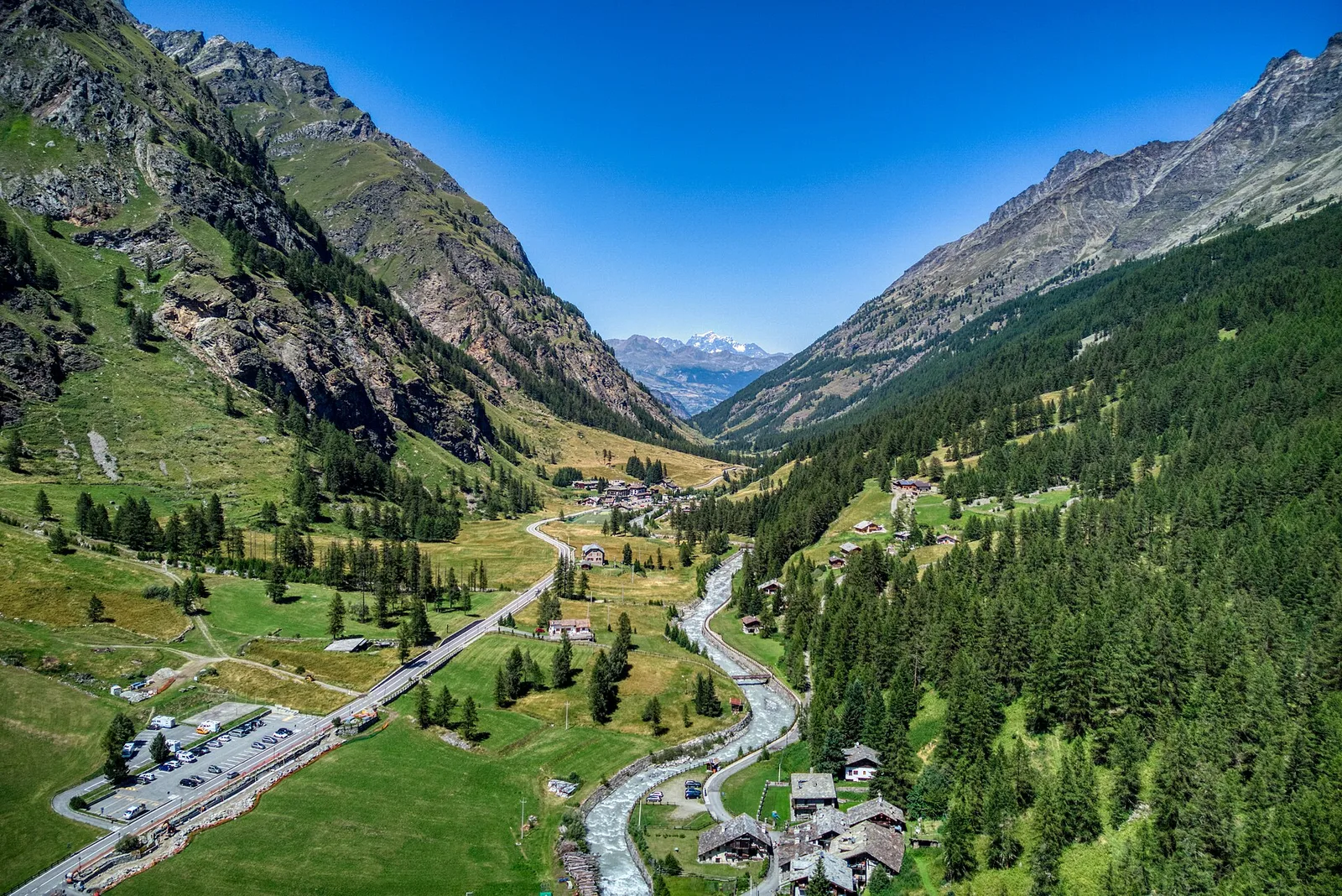
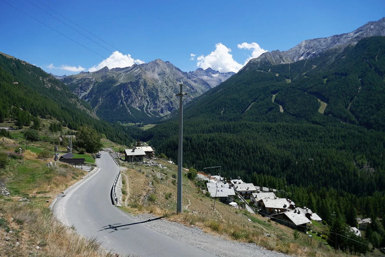
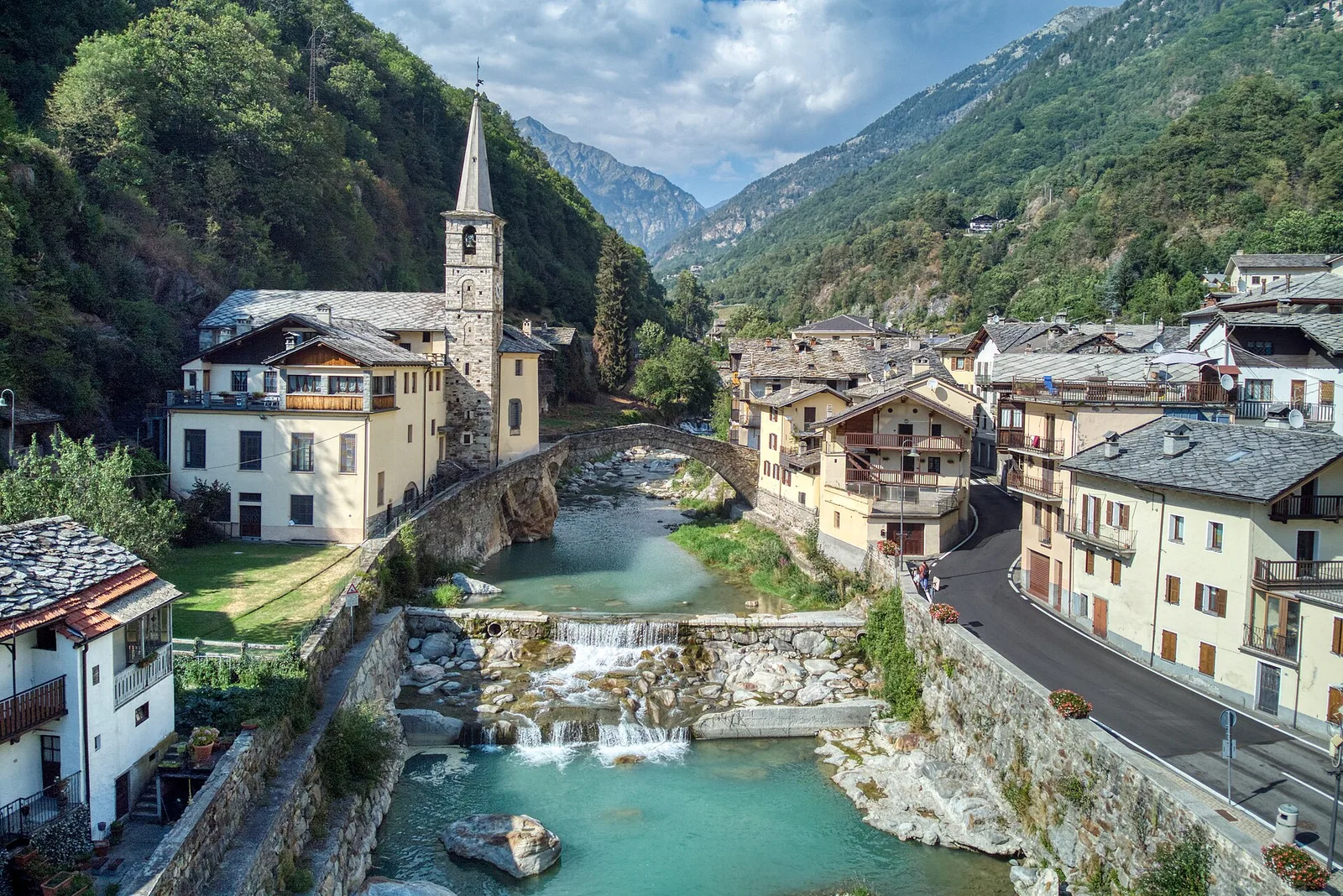
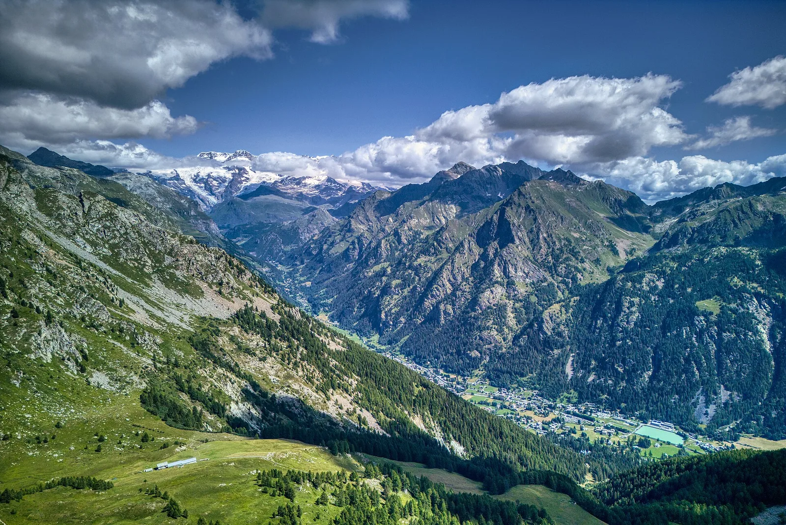
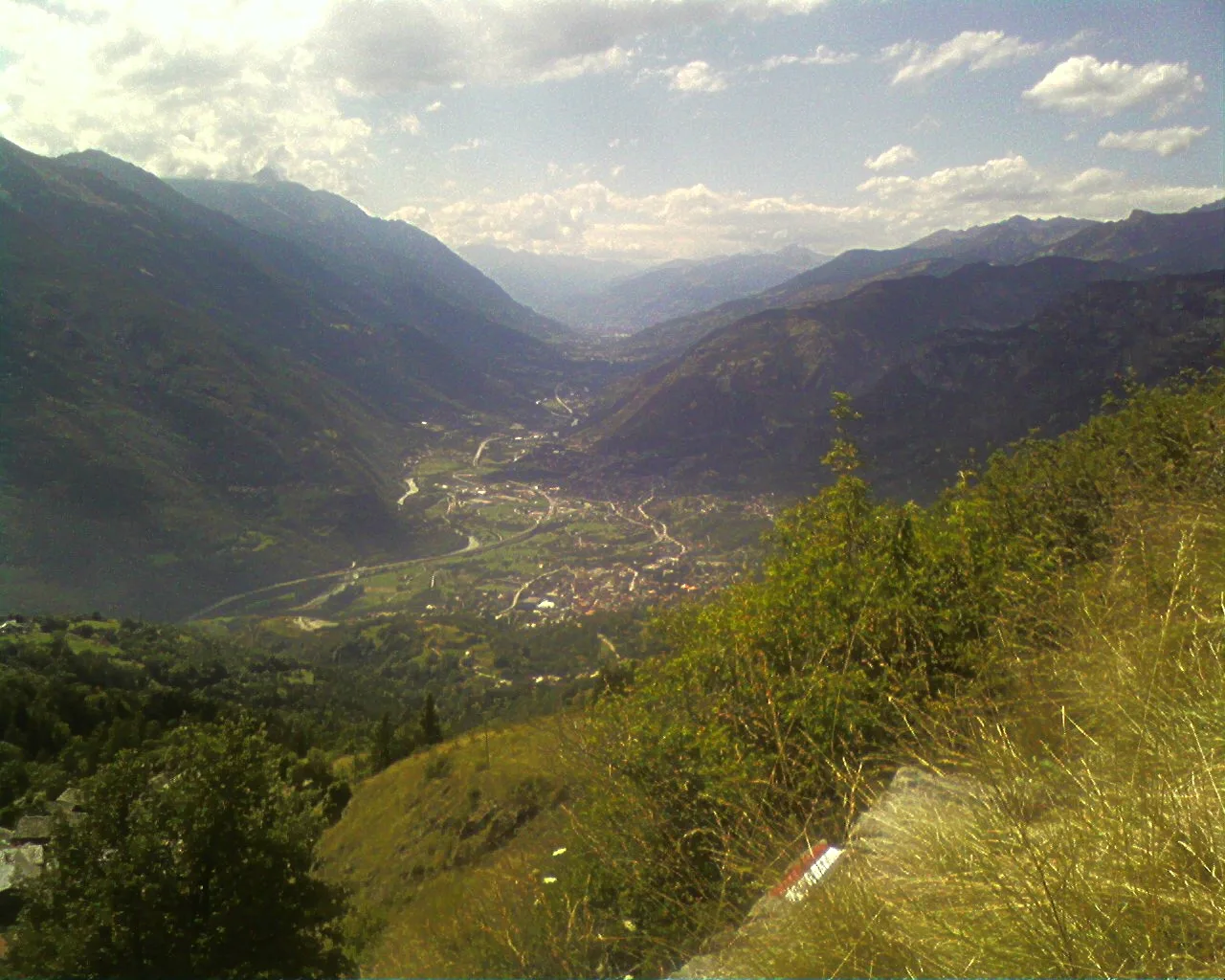
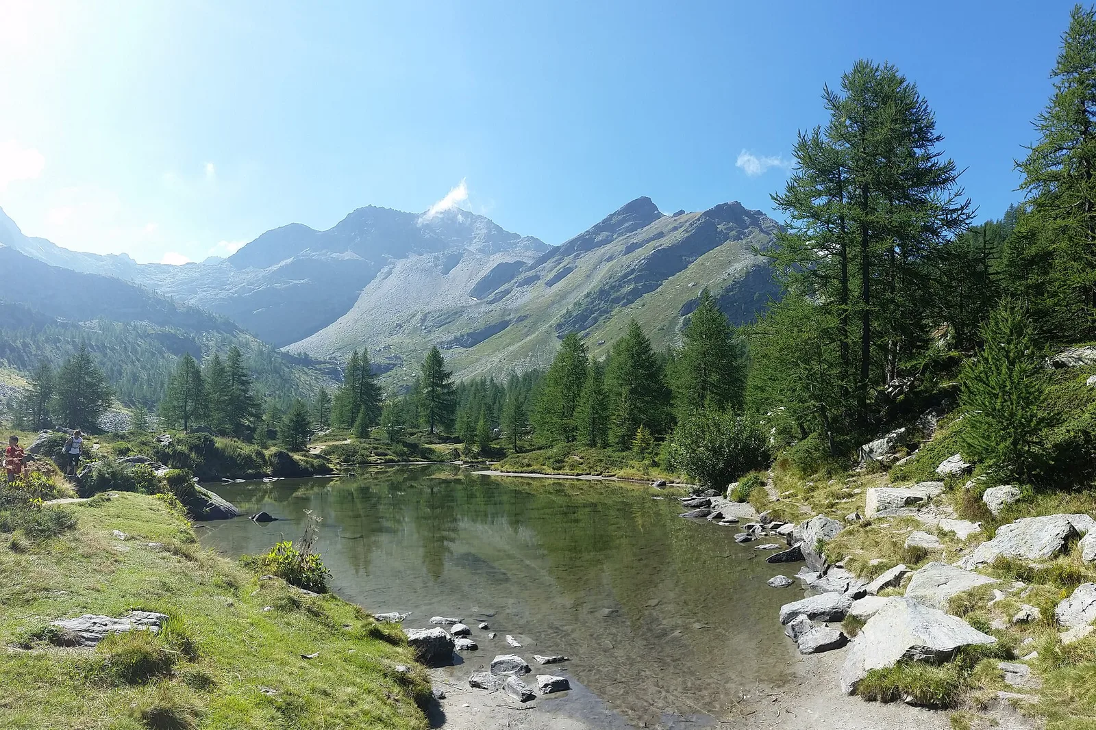
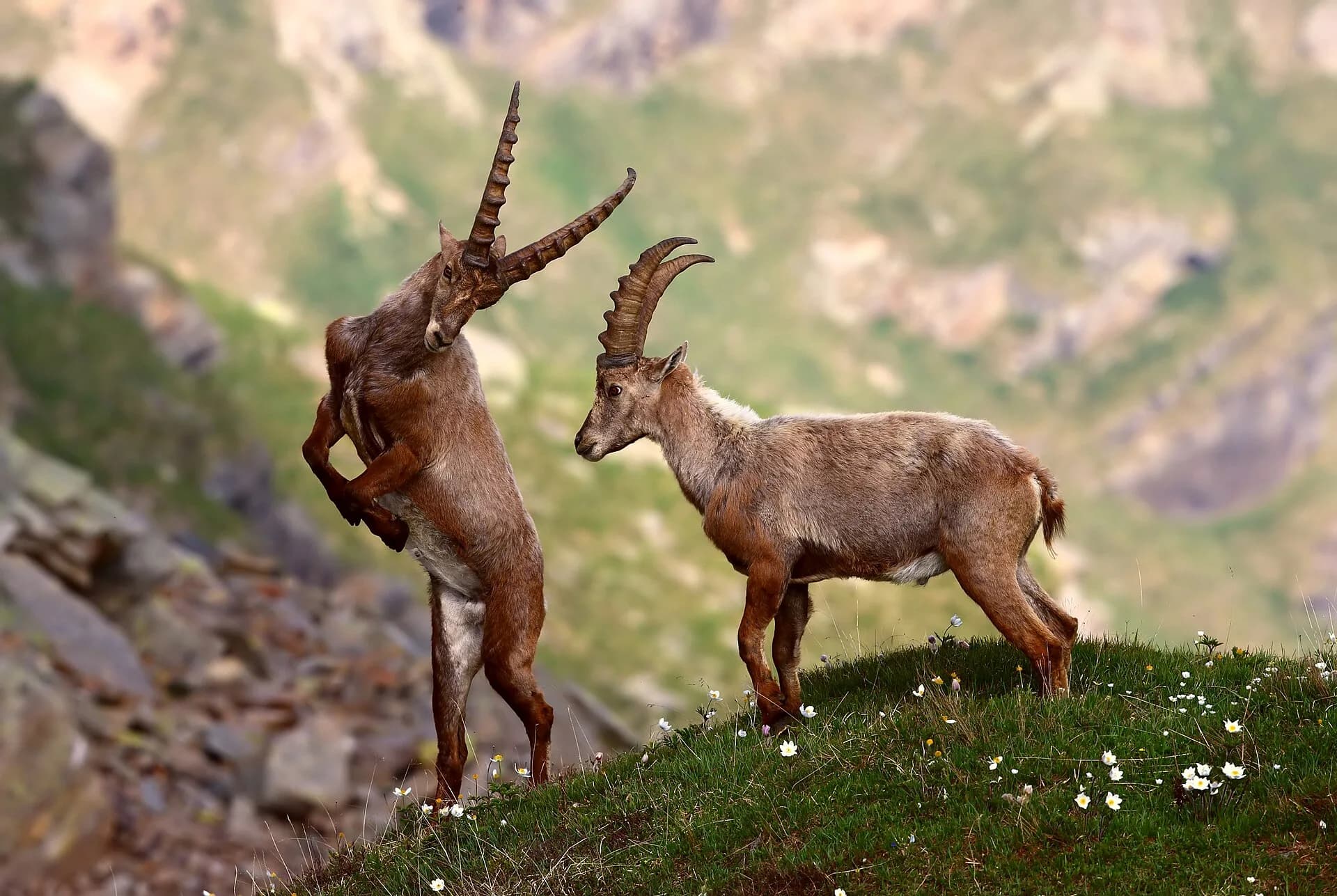
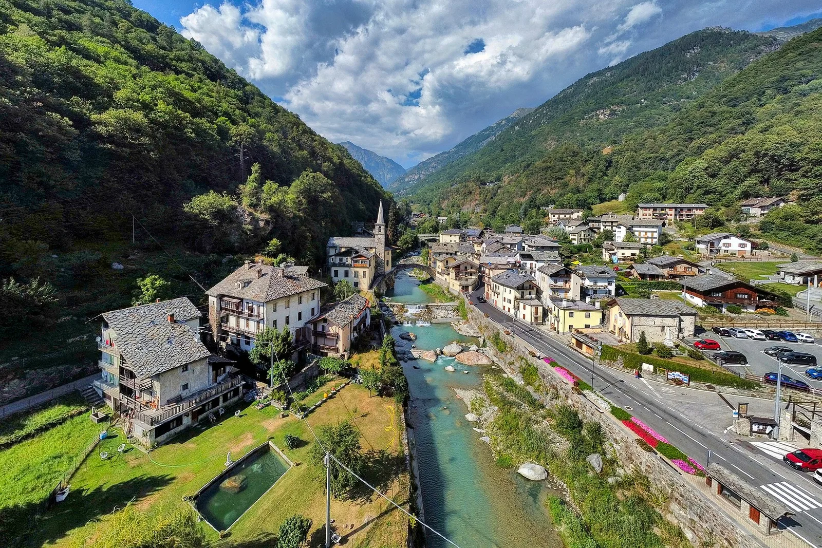
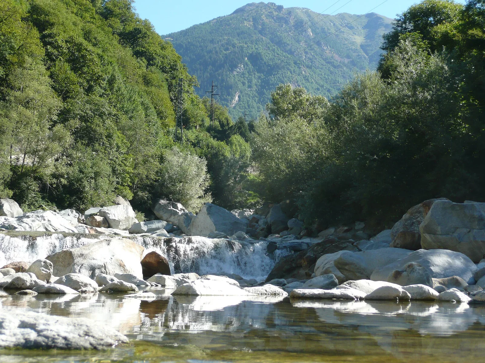
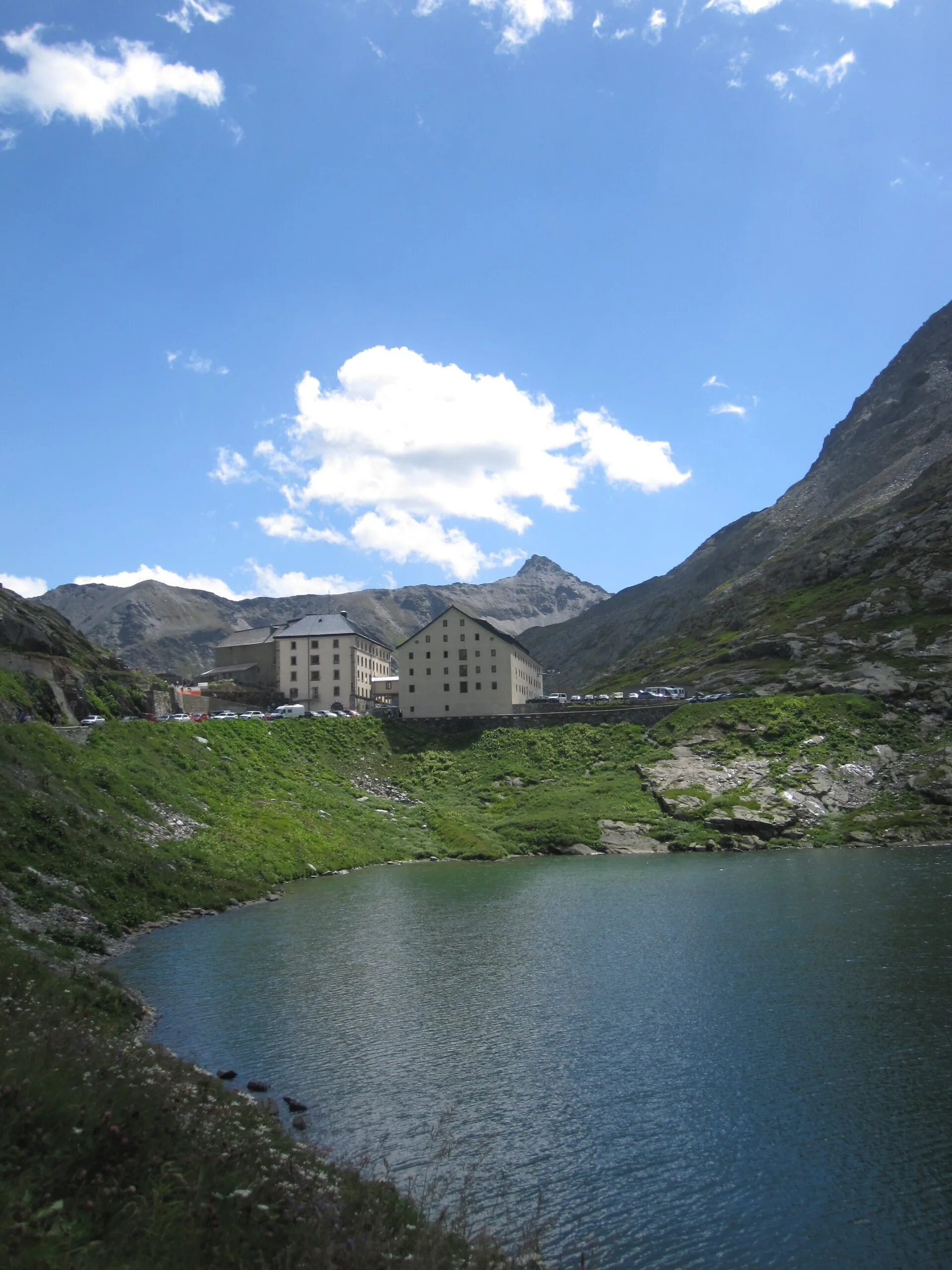
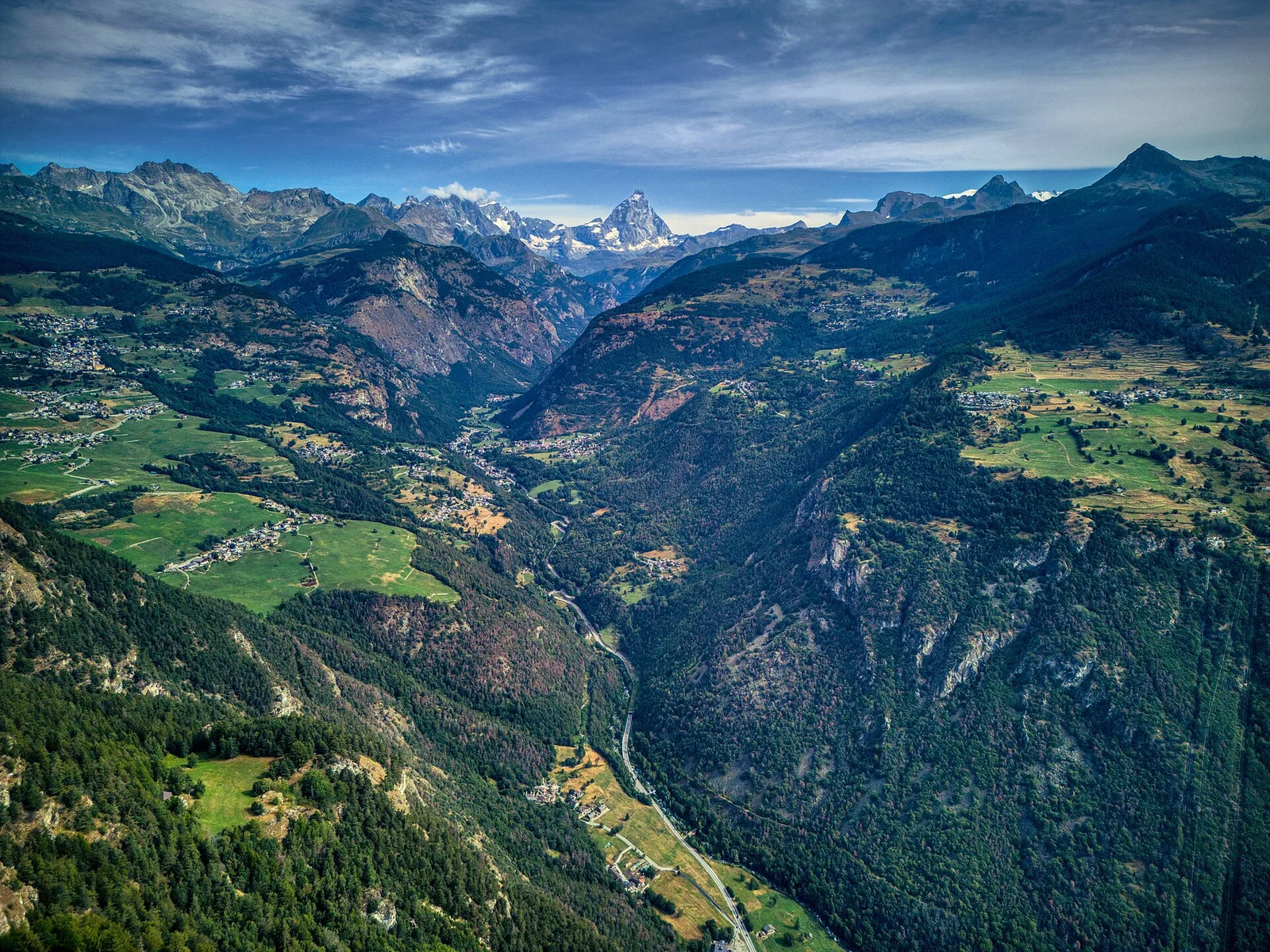
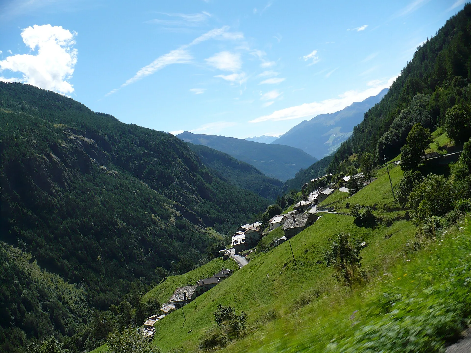
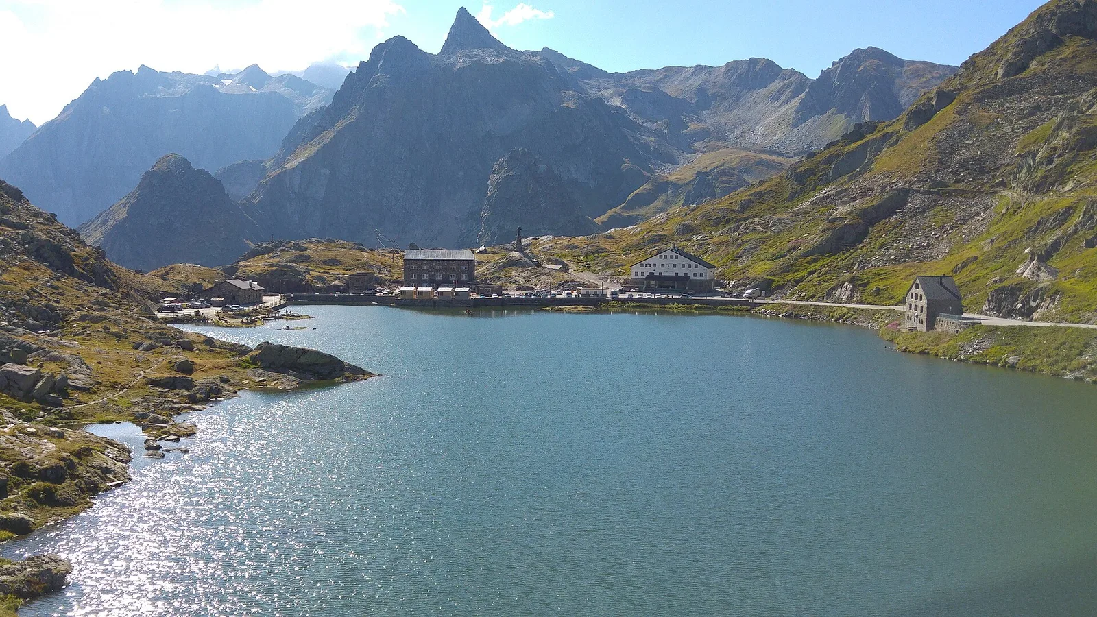
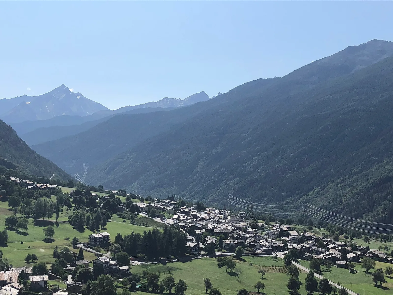
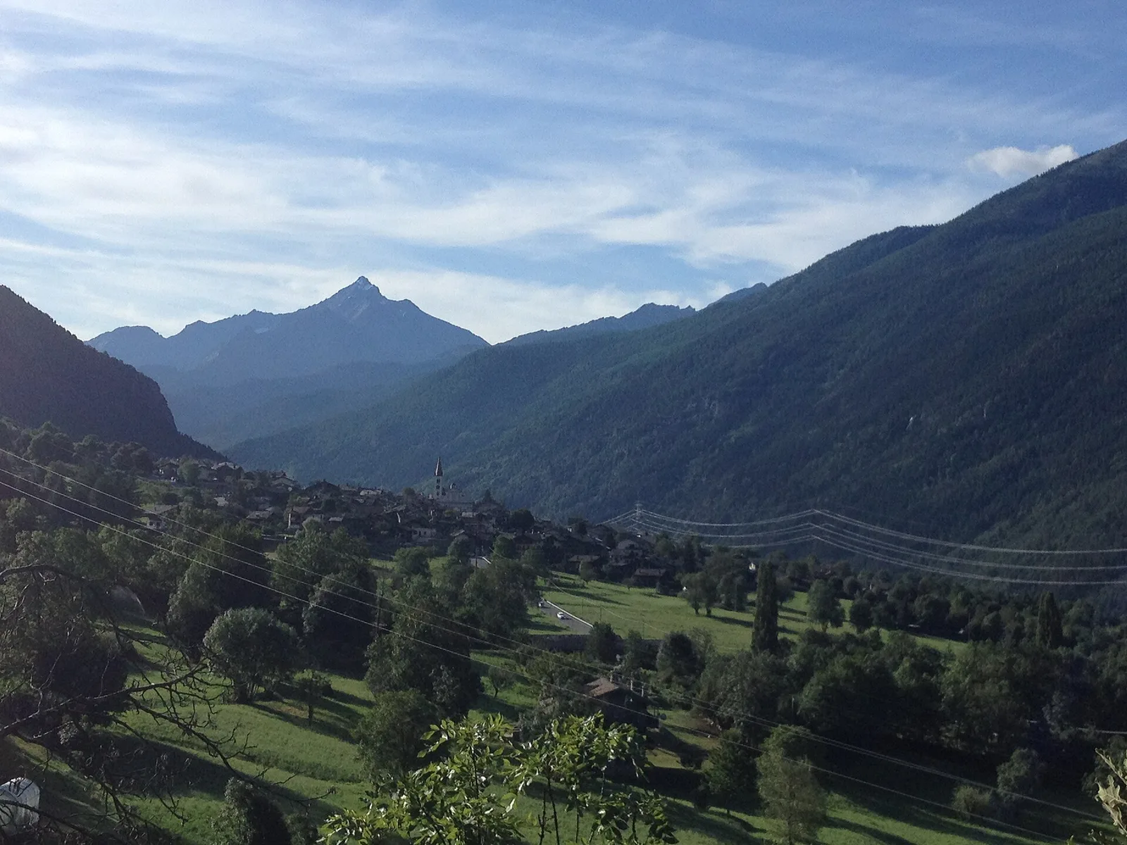
Valle del Gran San Bernardo
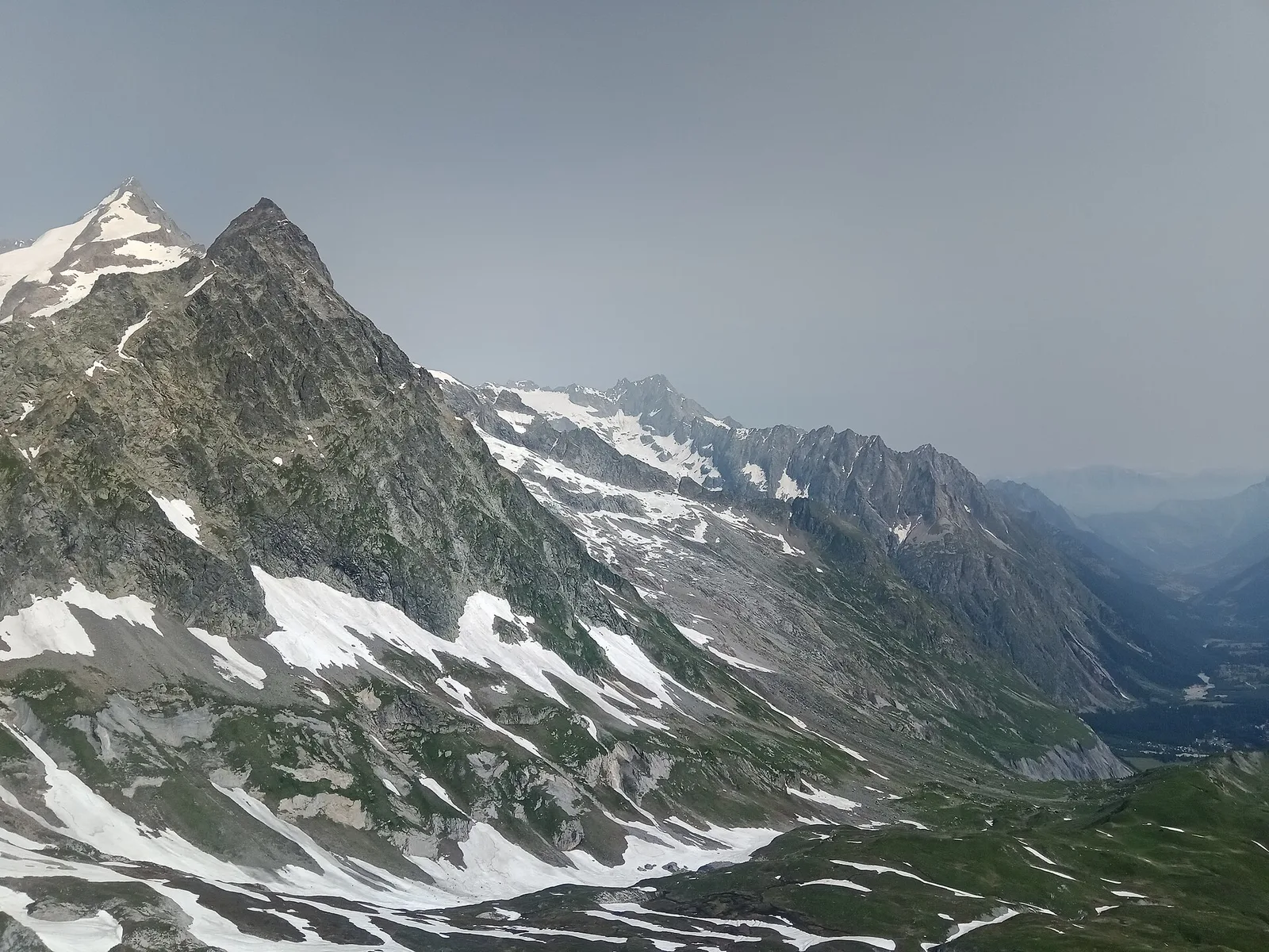
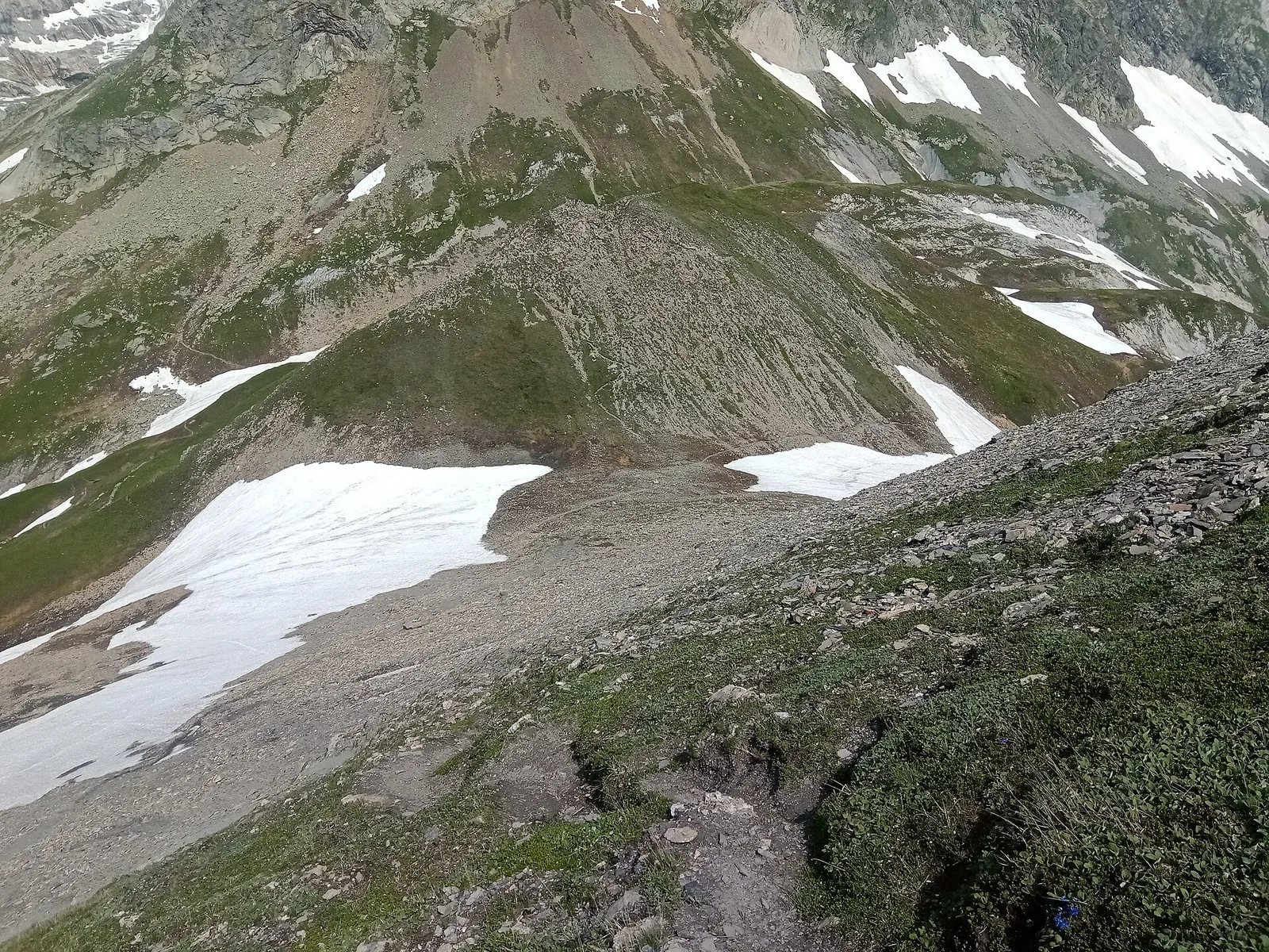
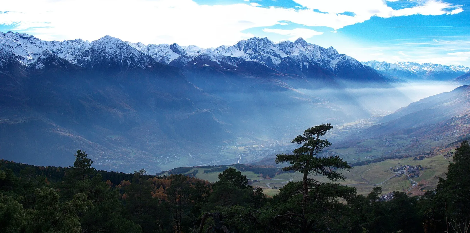
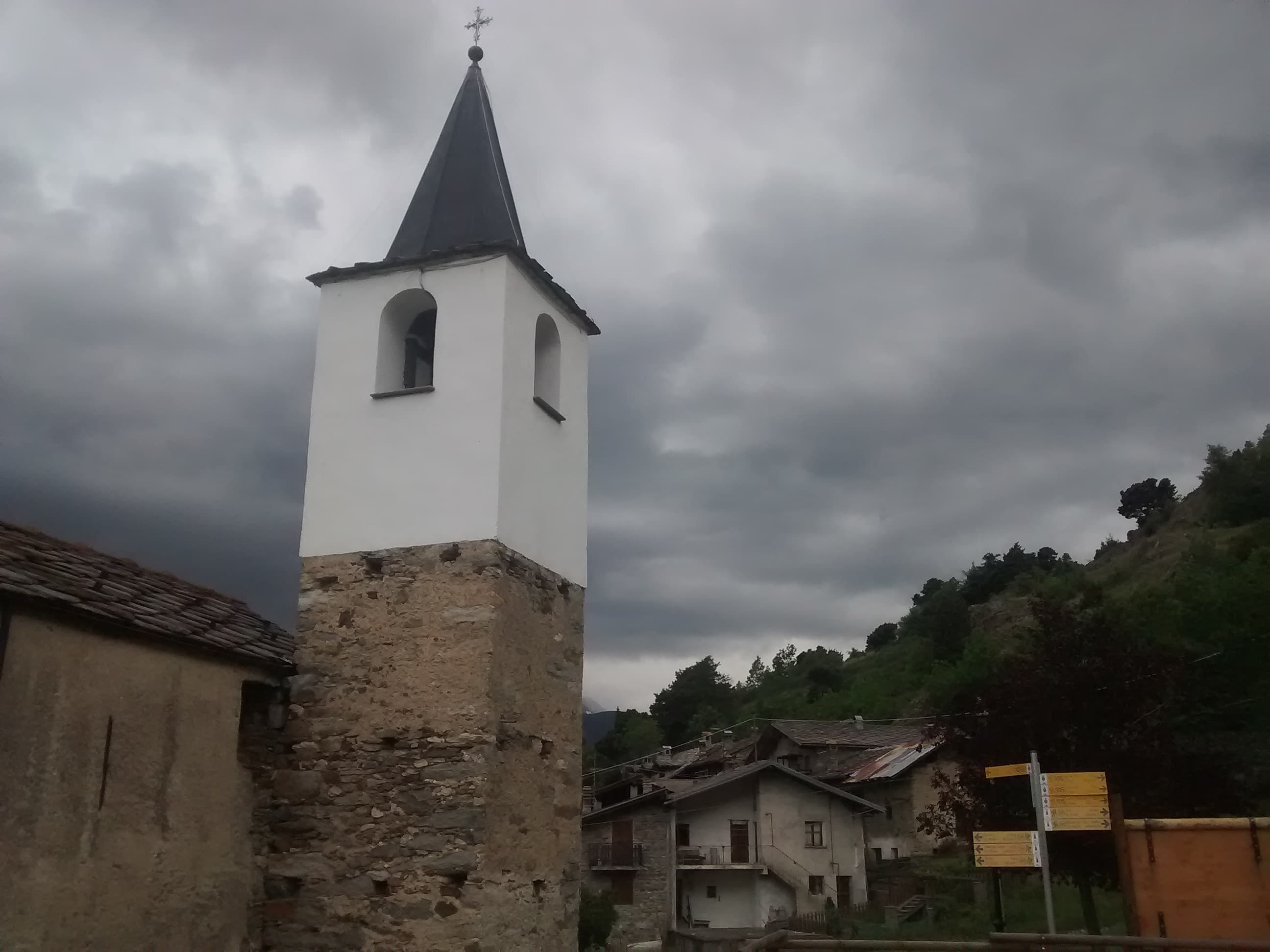
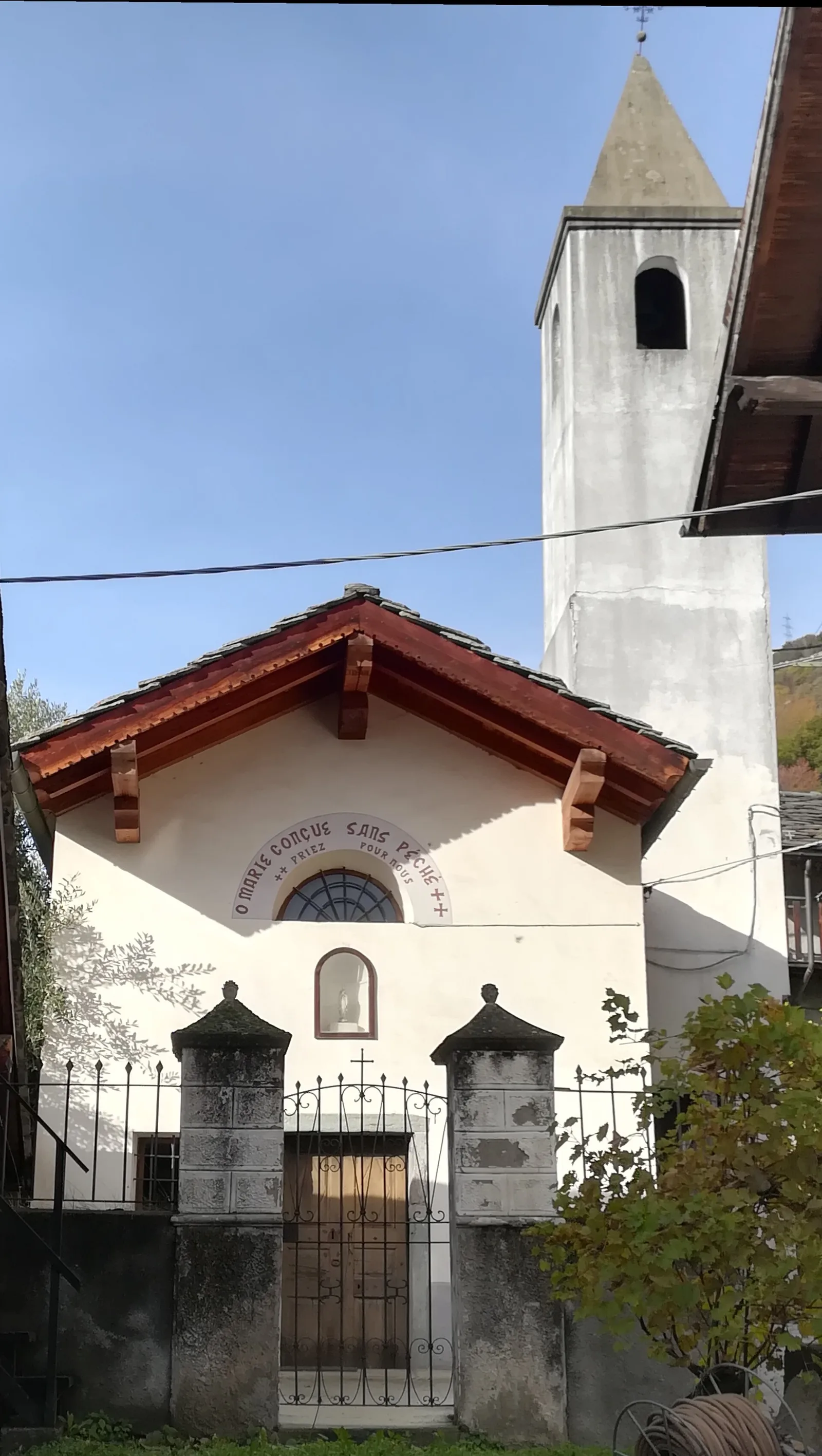
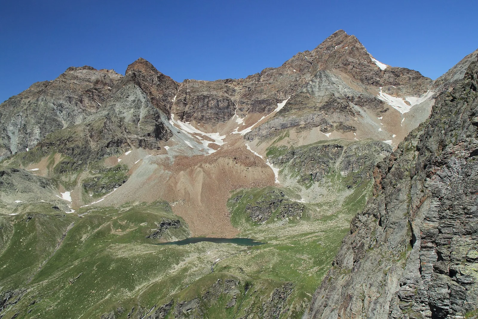
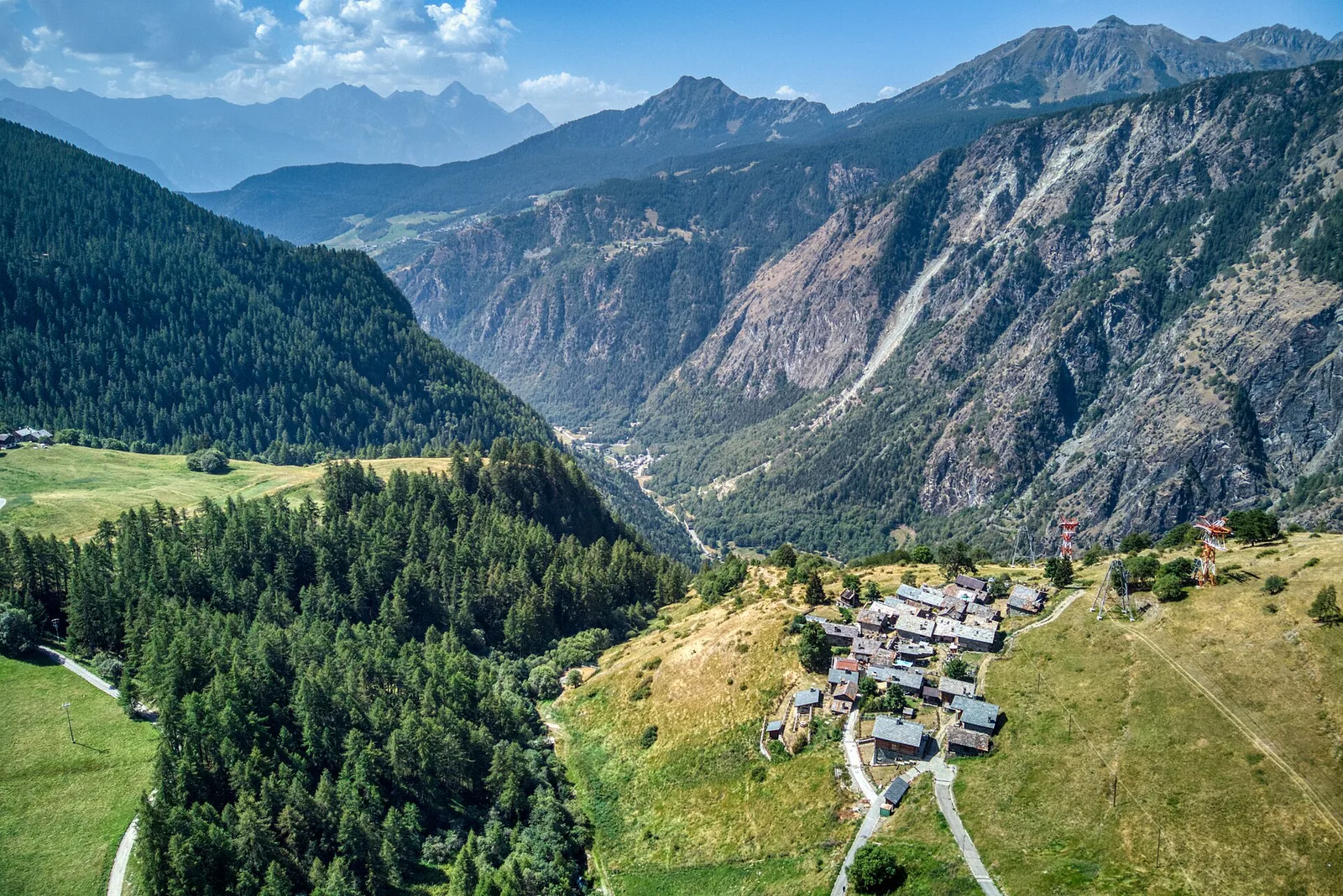
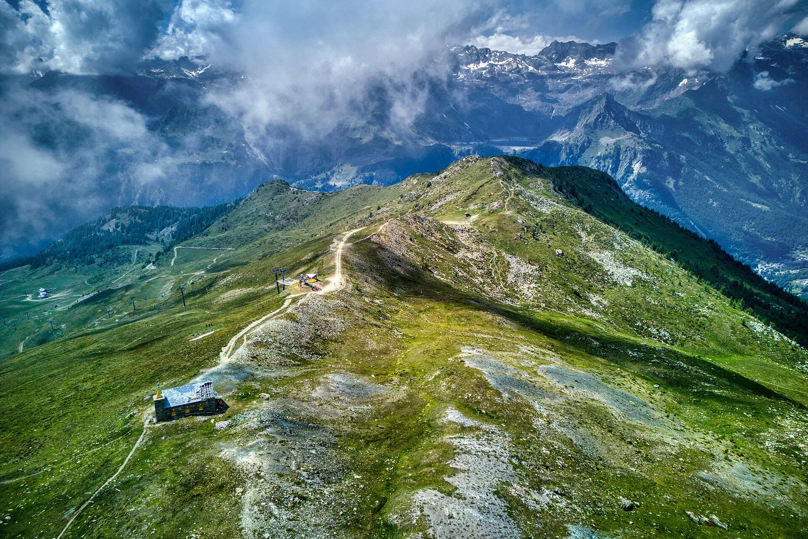
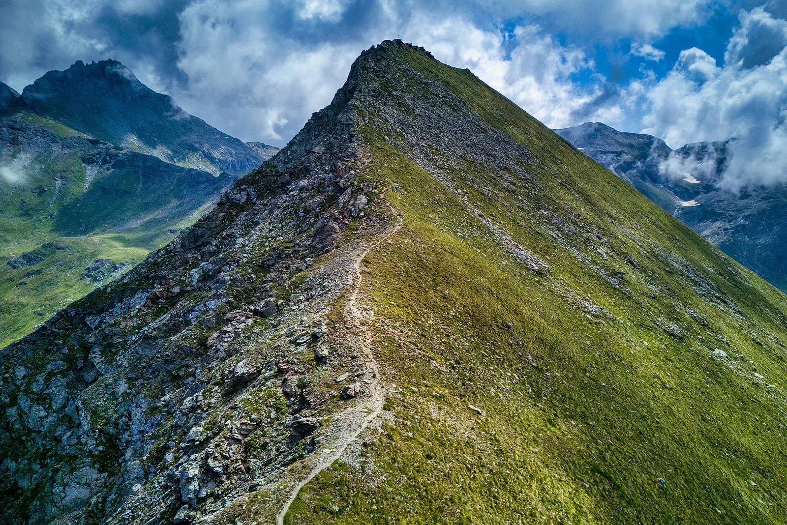
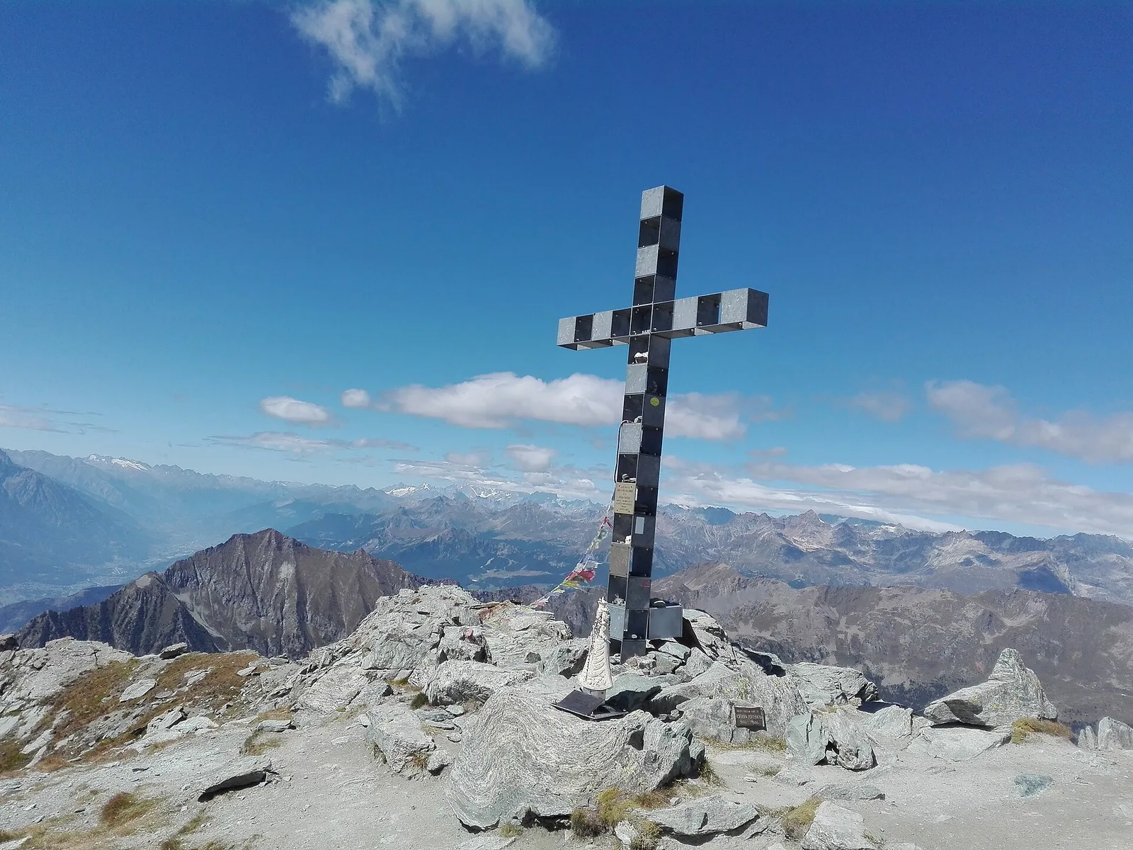
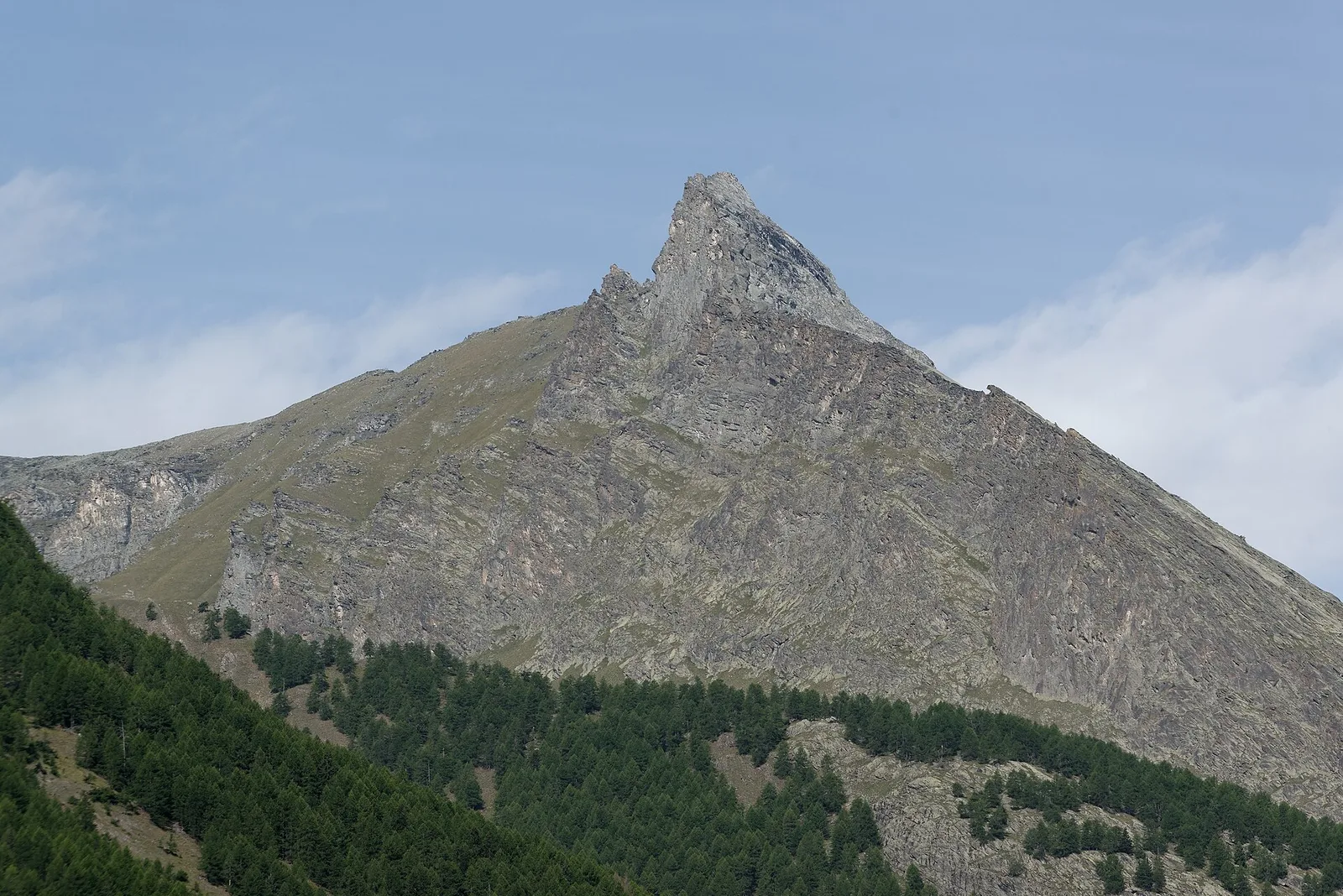
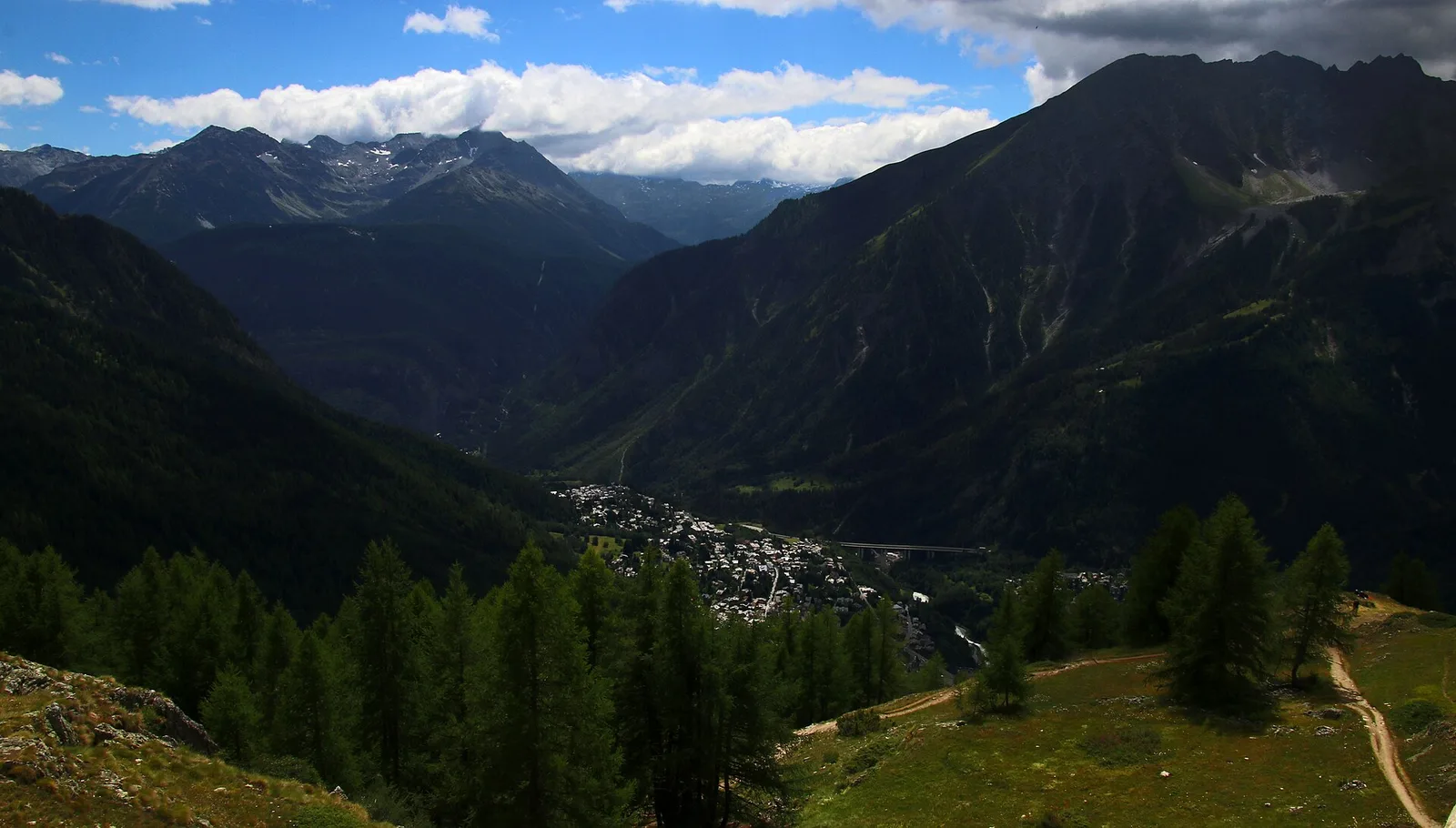
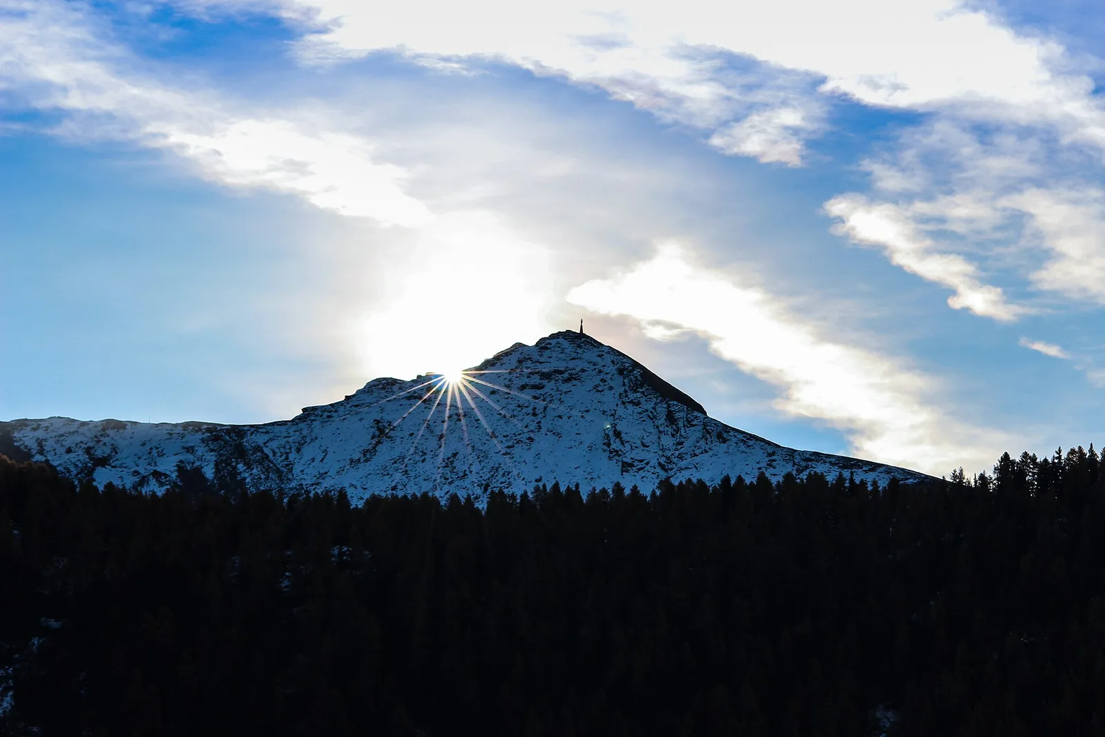
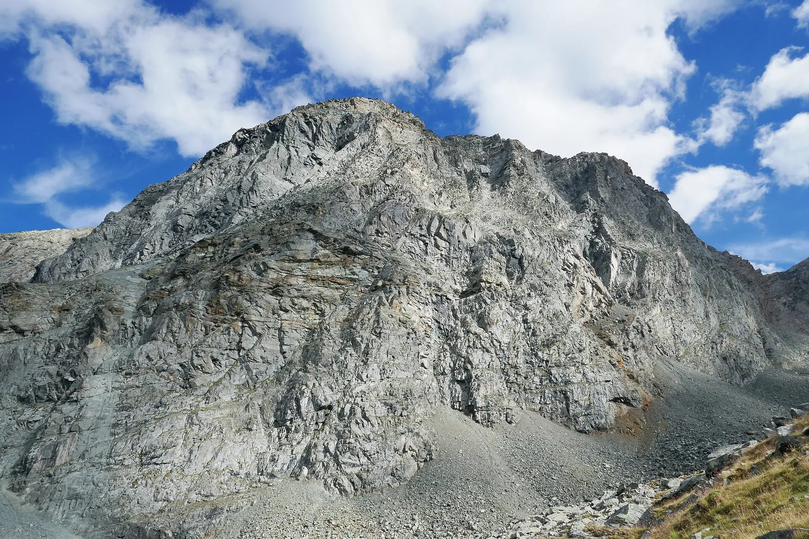
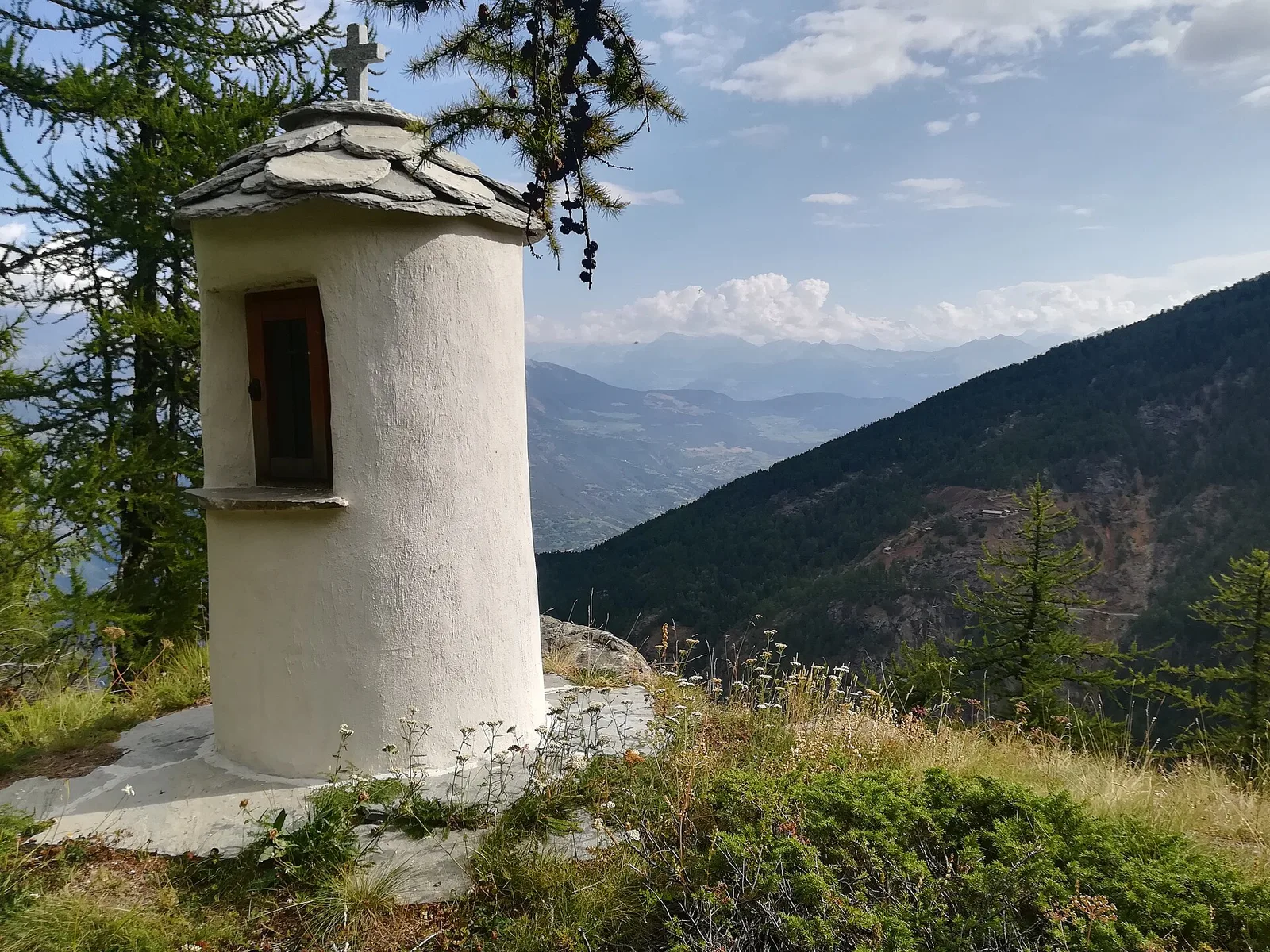
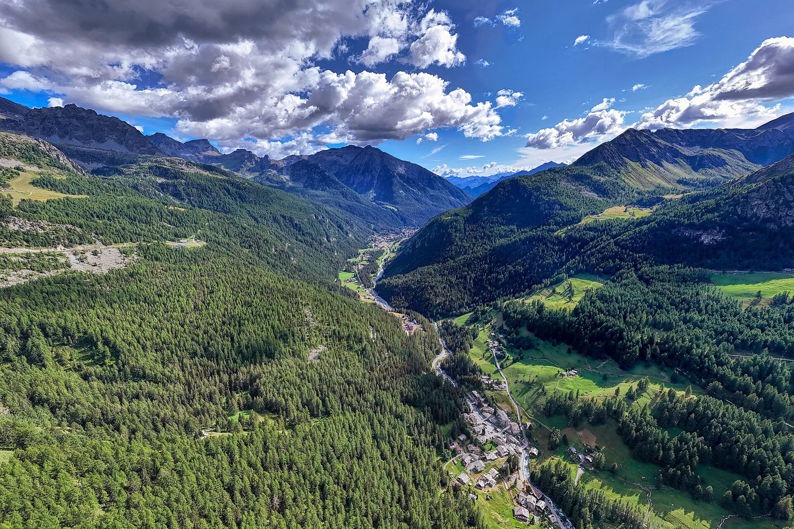
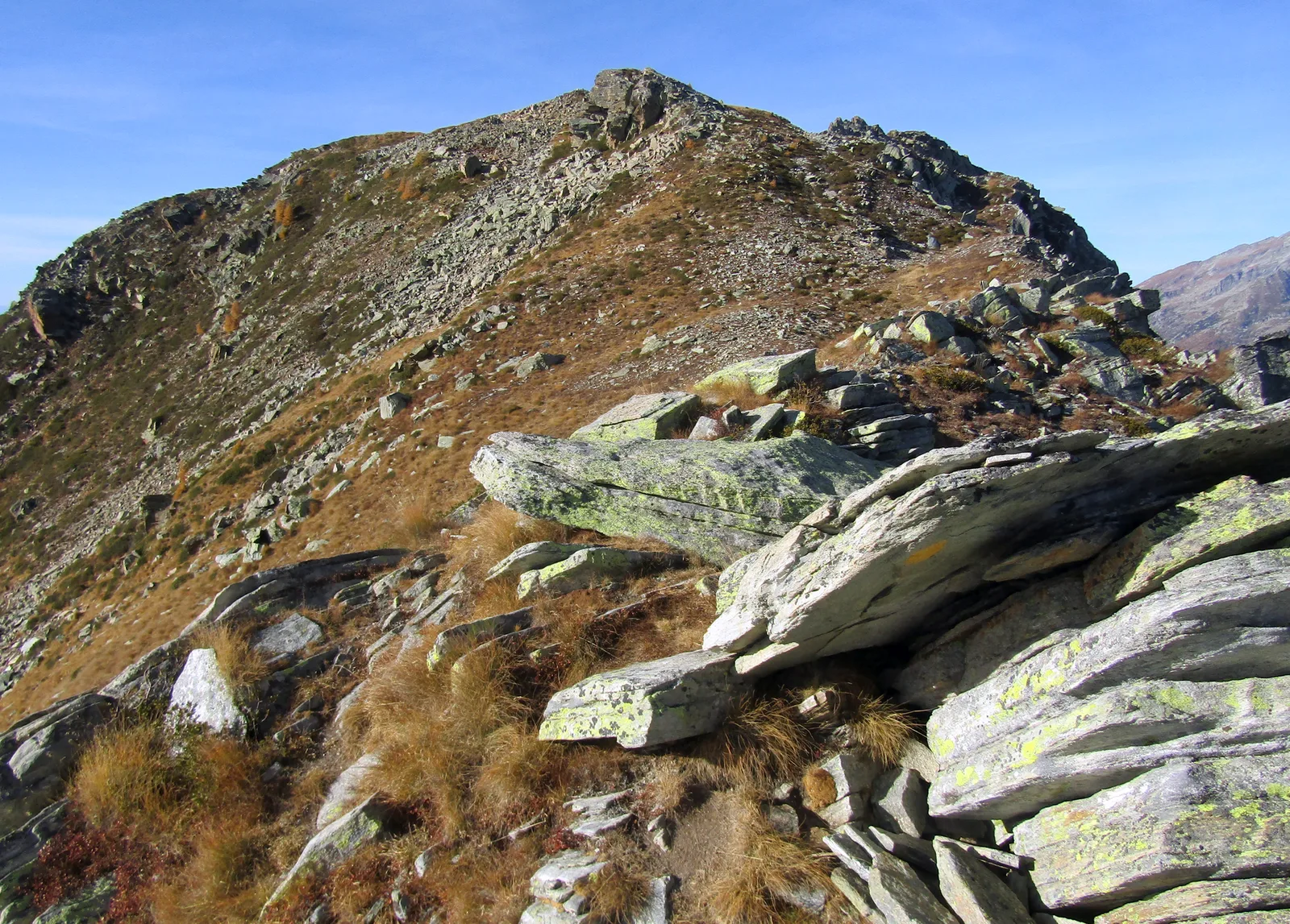
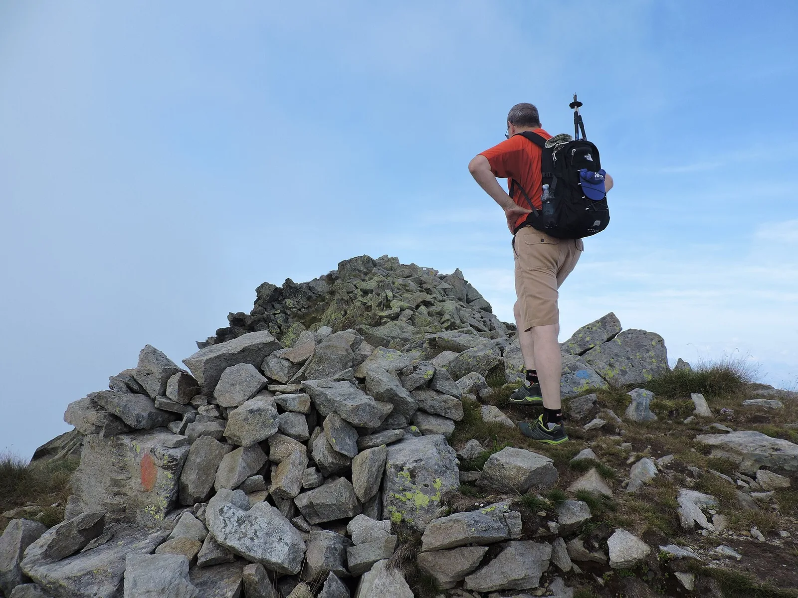
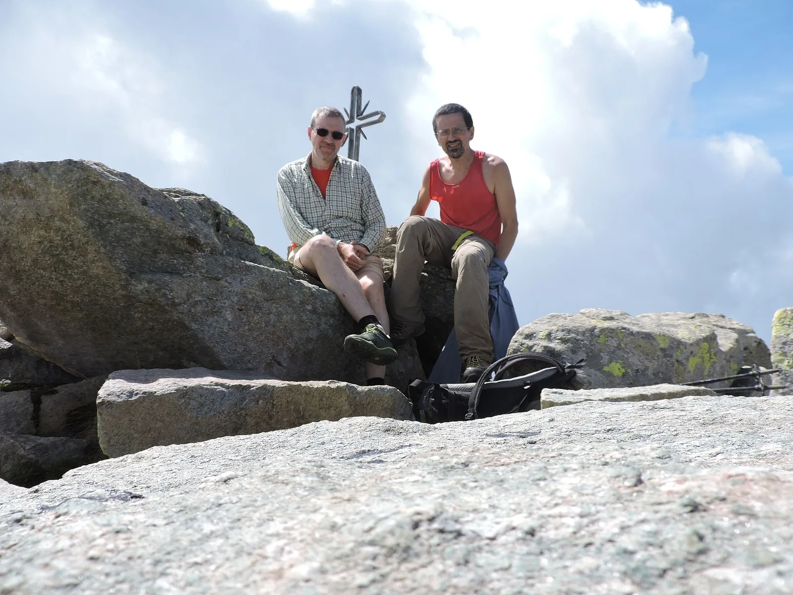
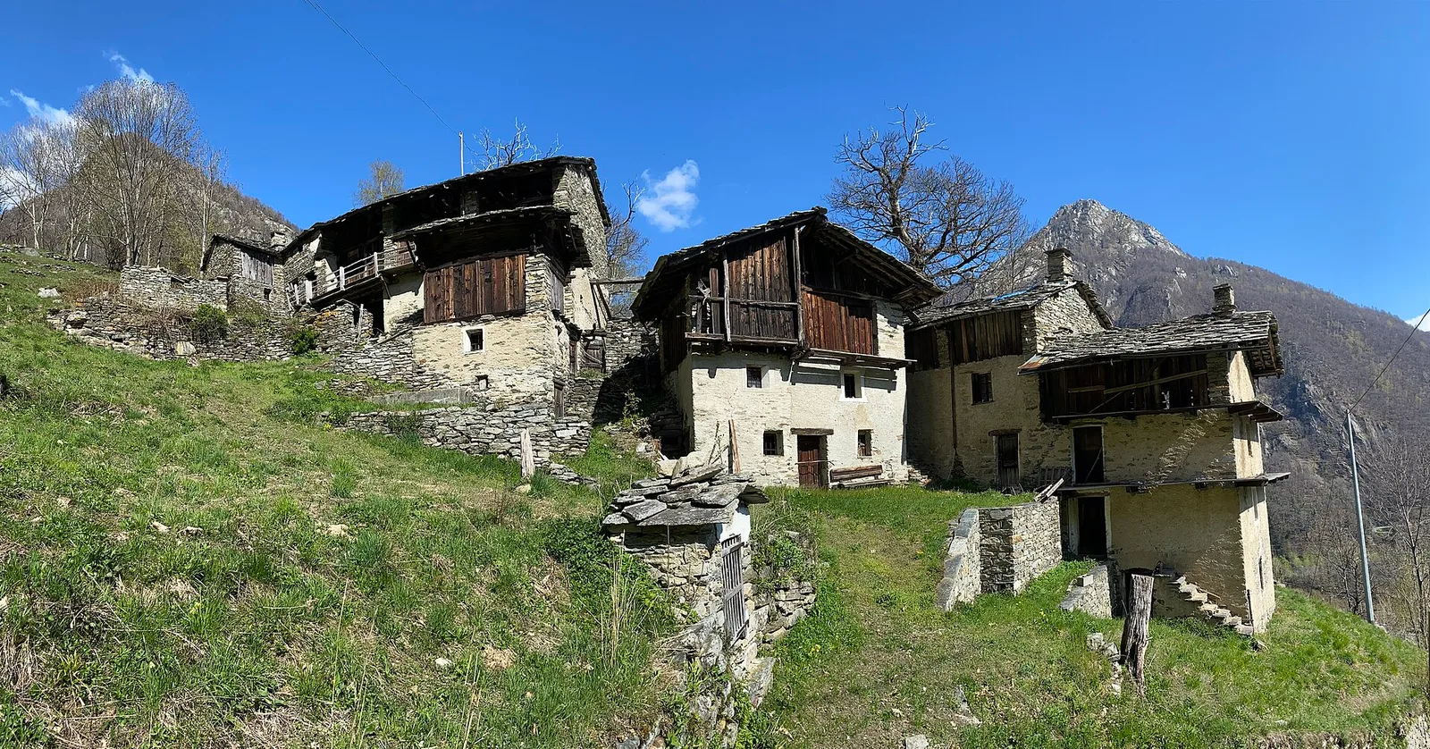
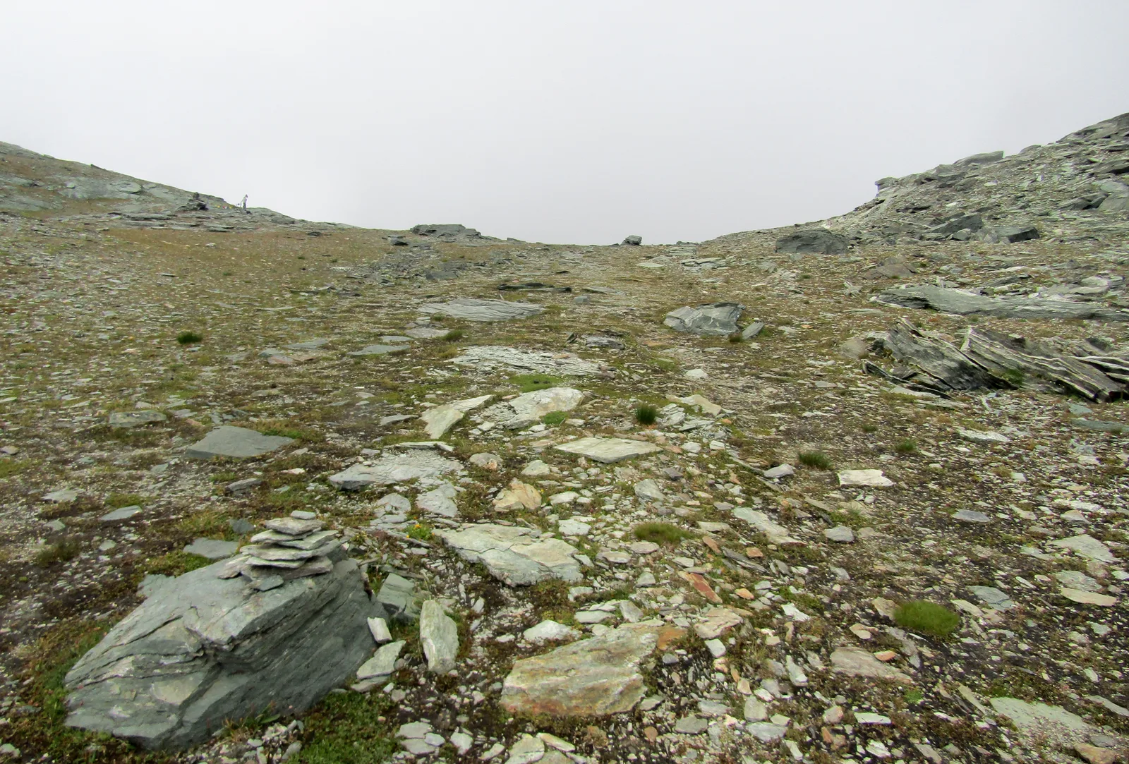
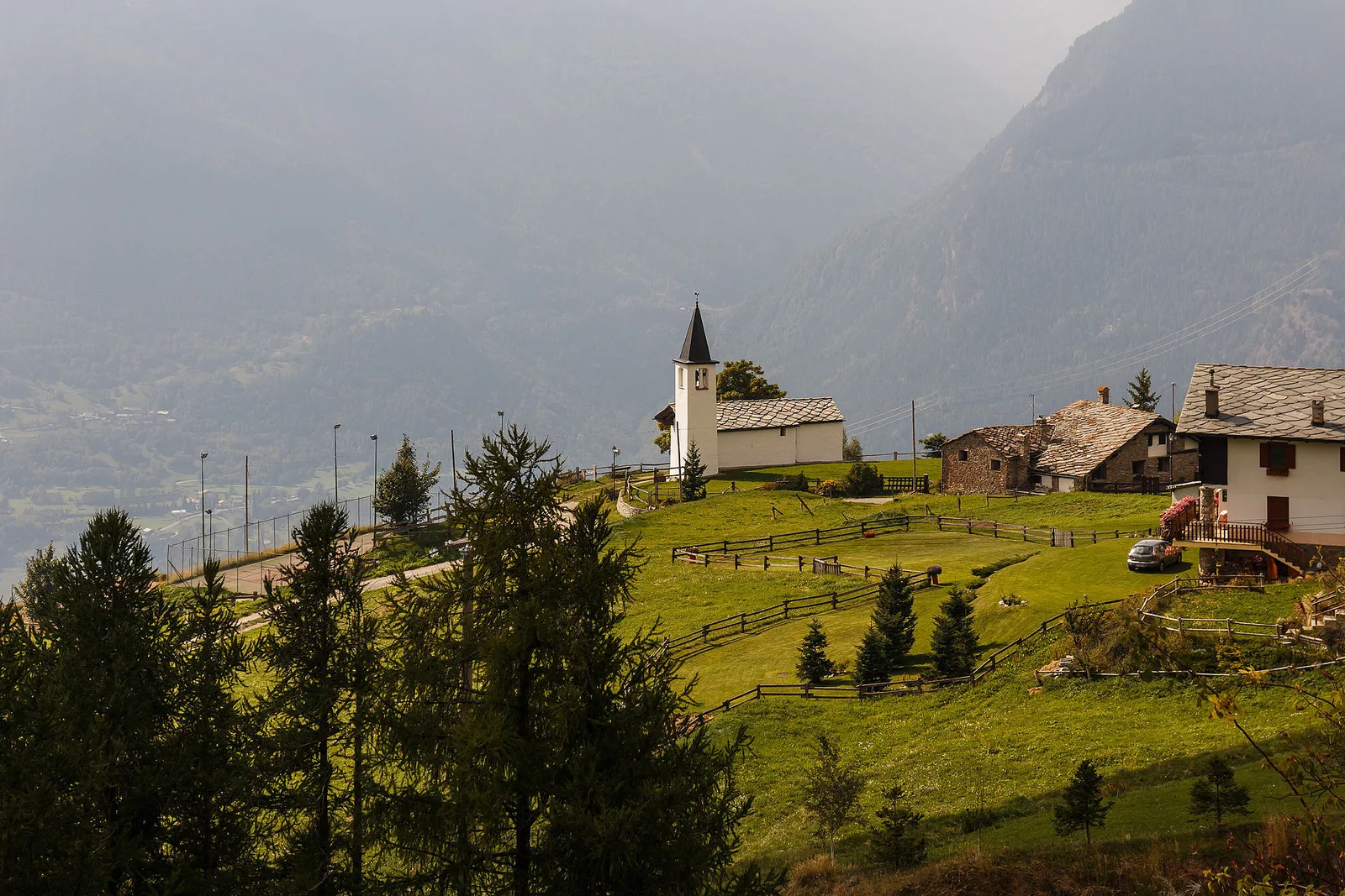
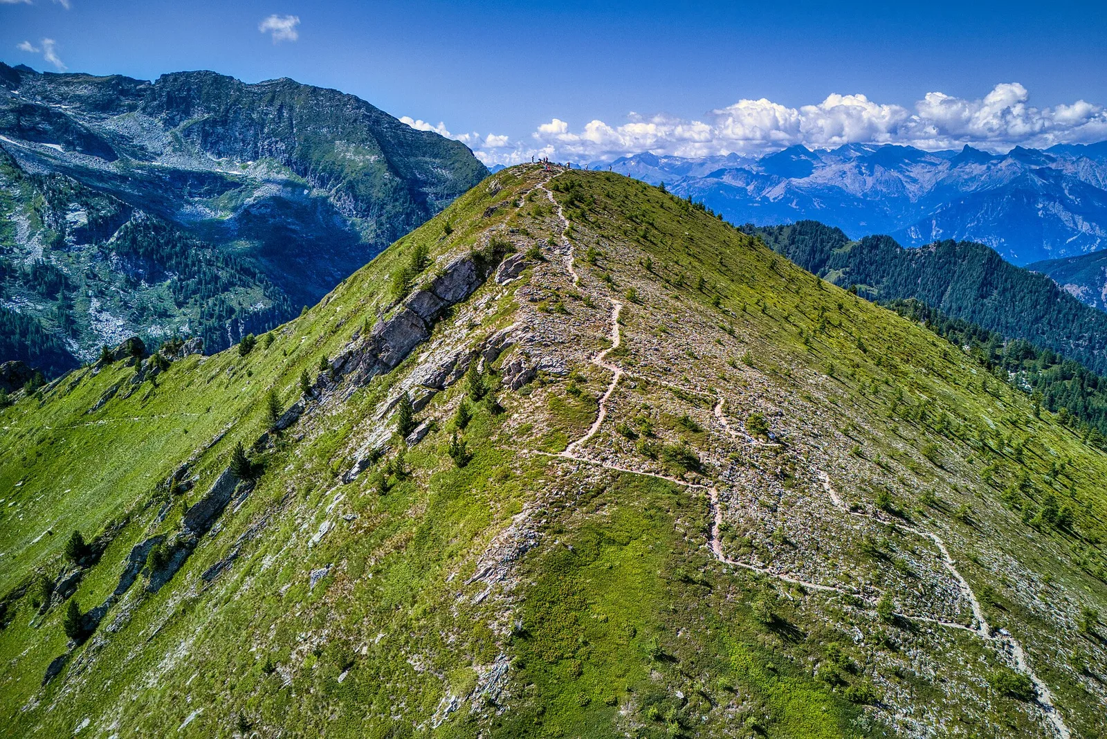
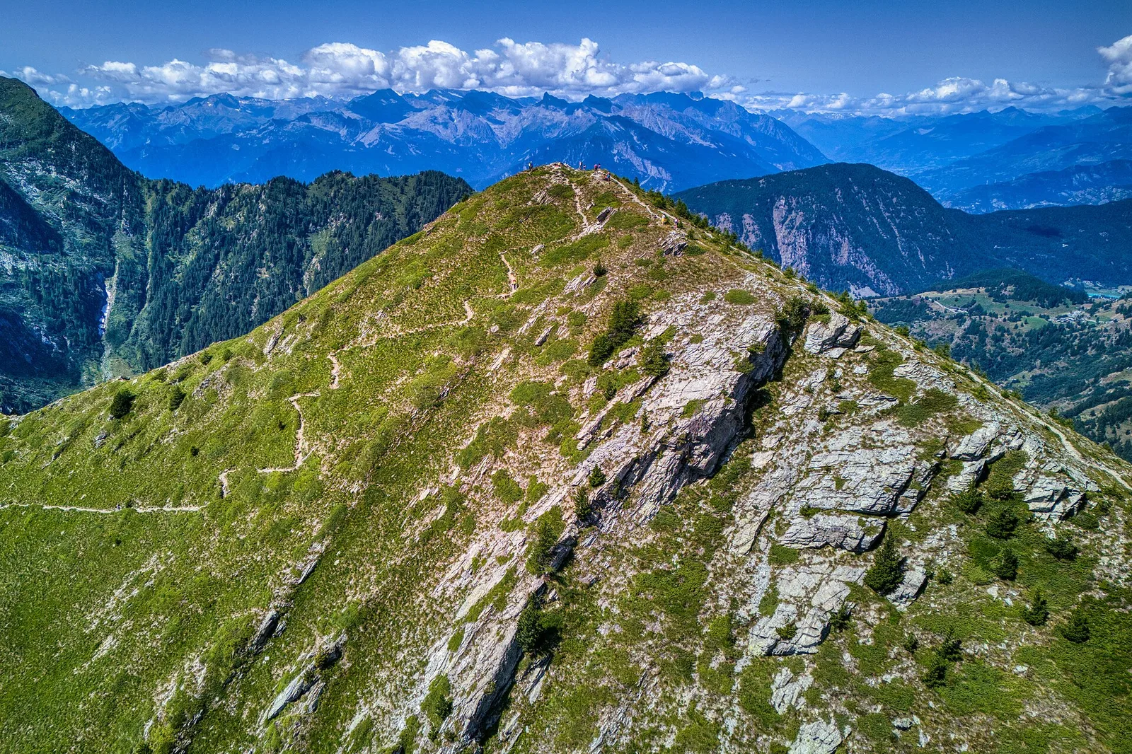
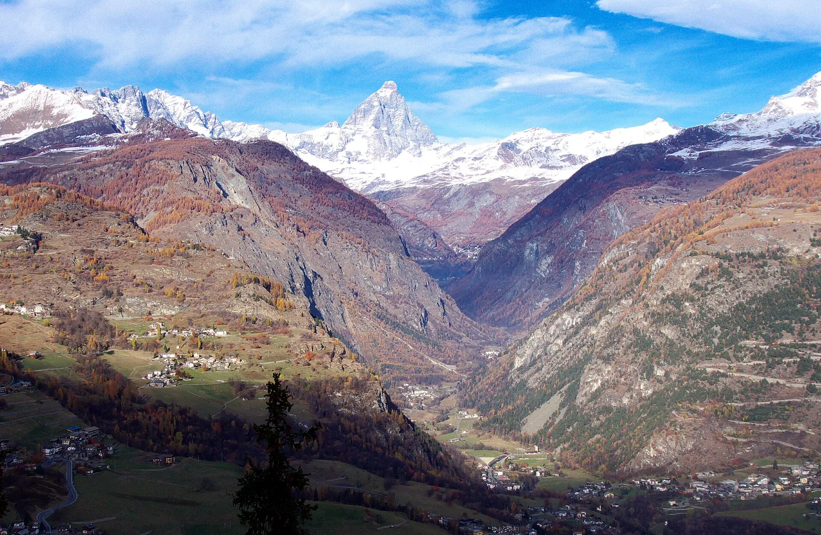
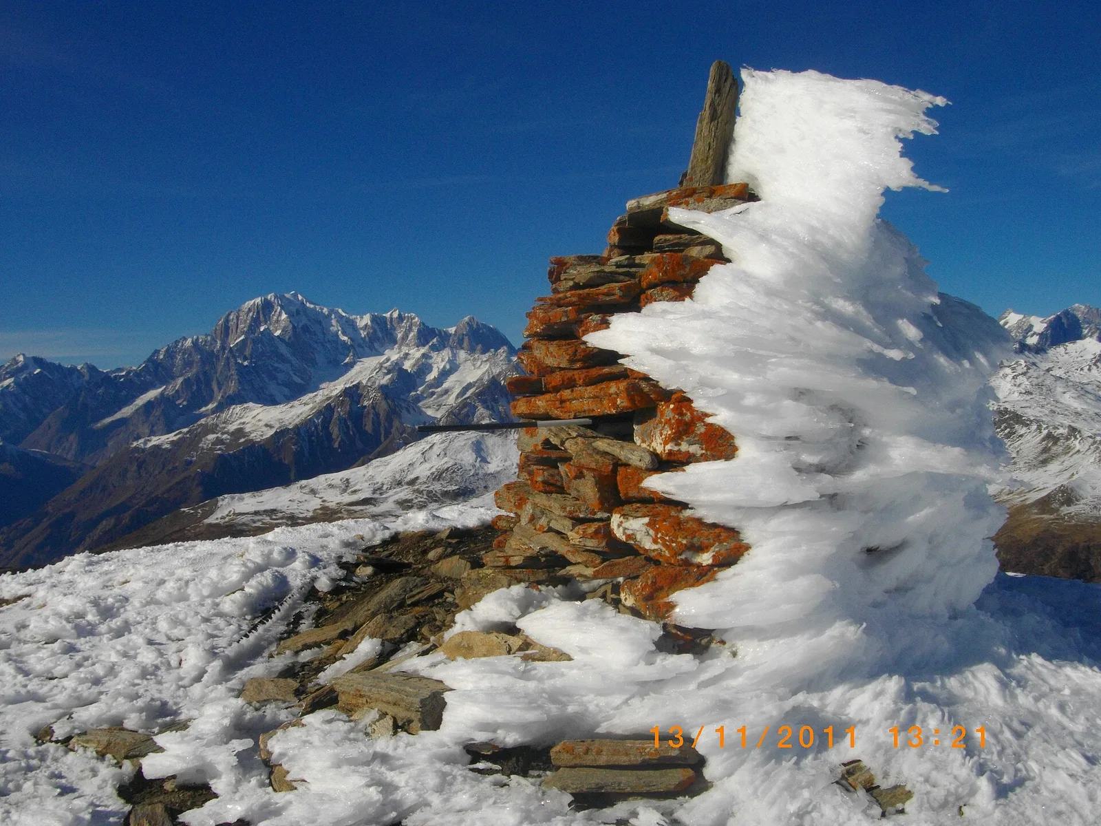
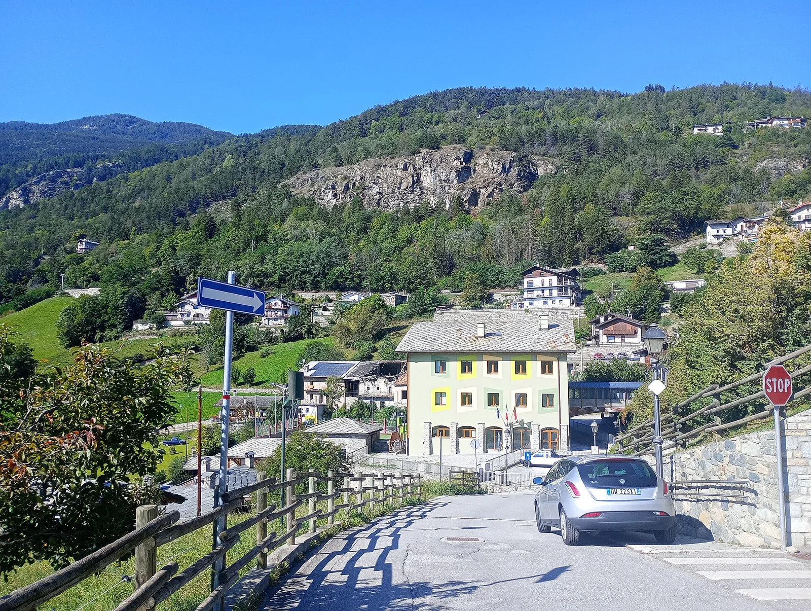
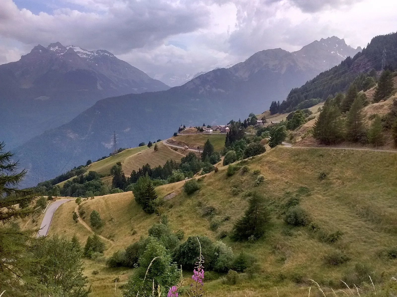
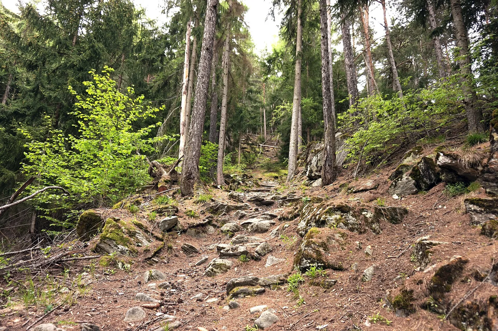
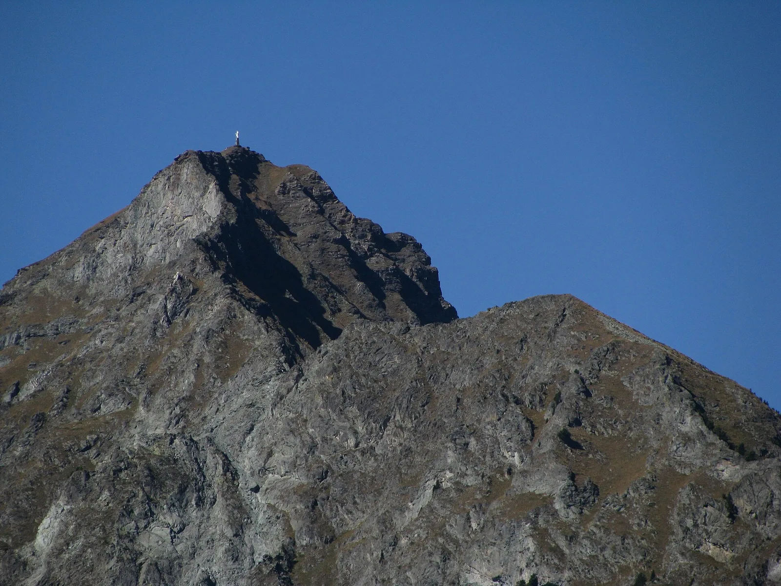
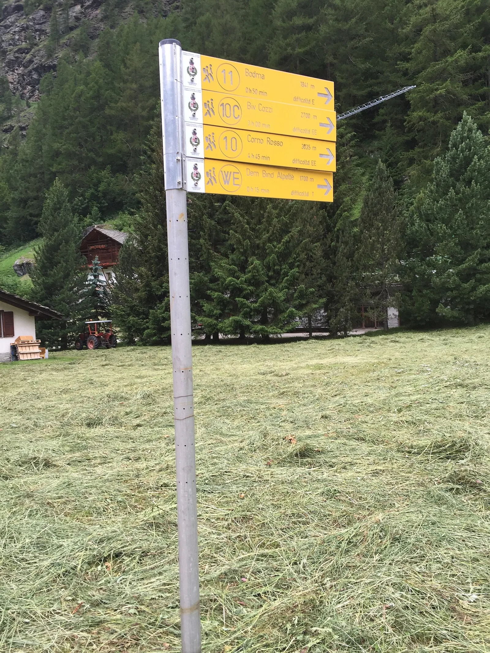
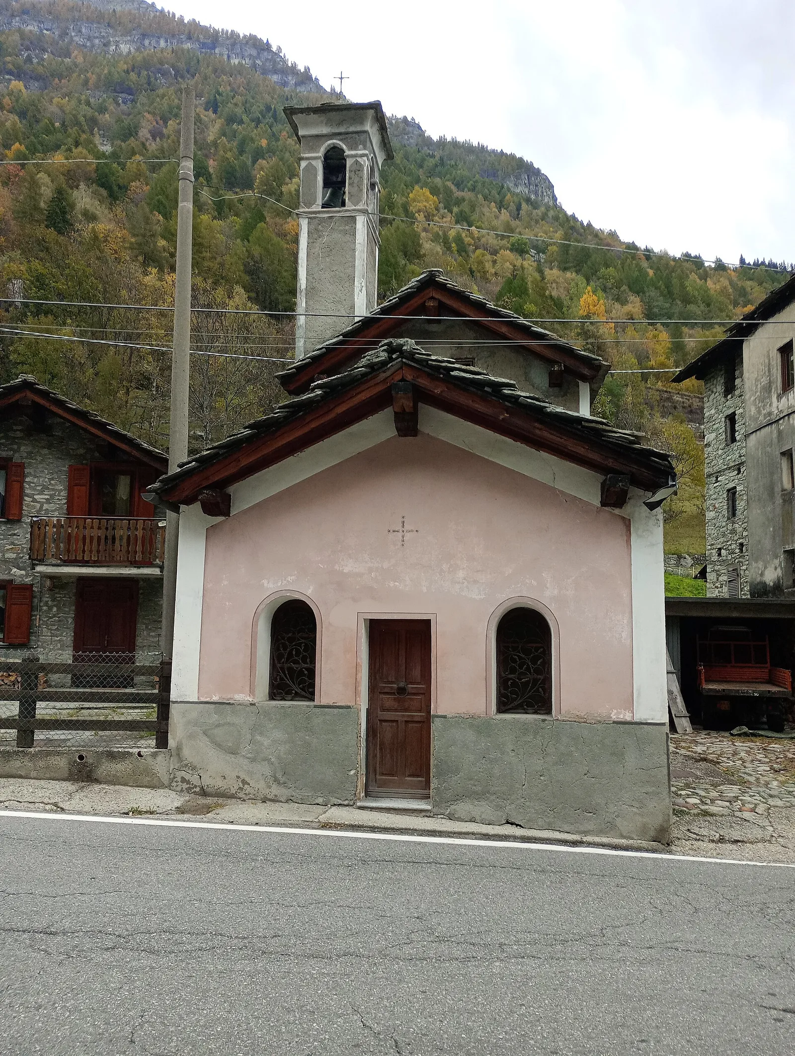
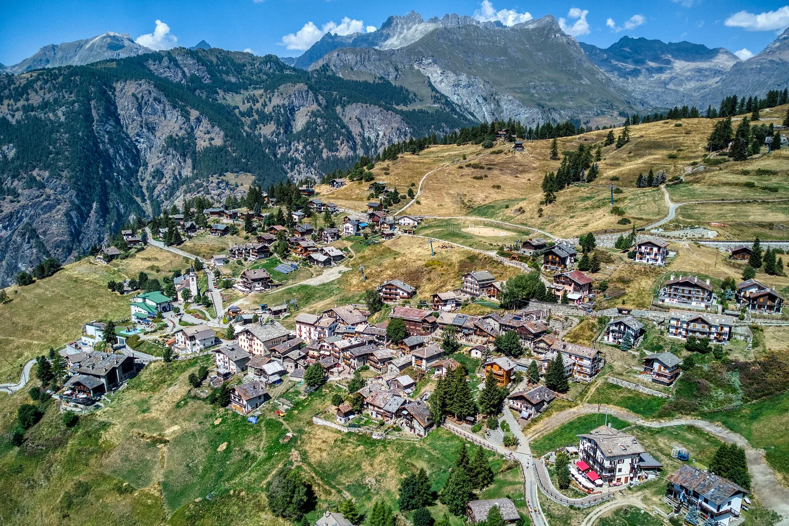
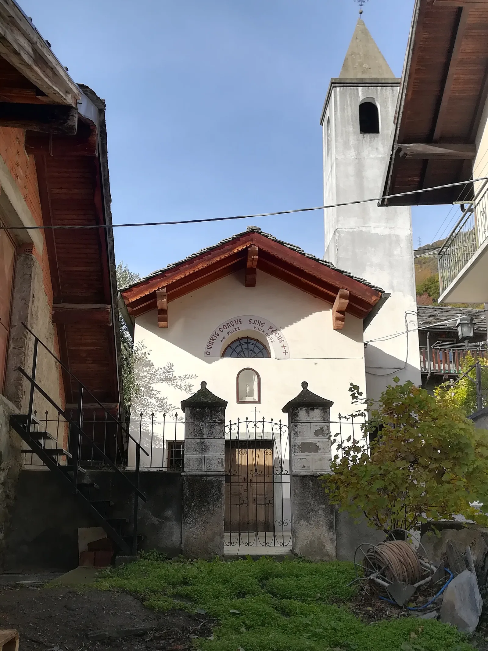
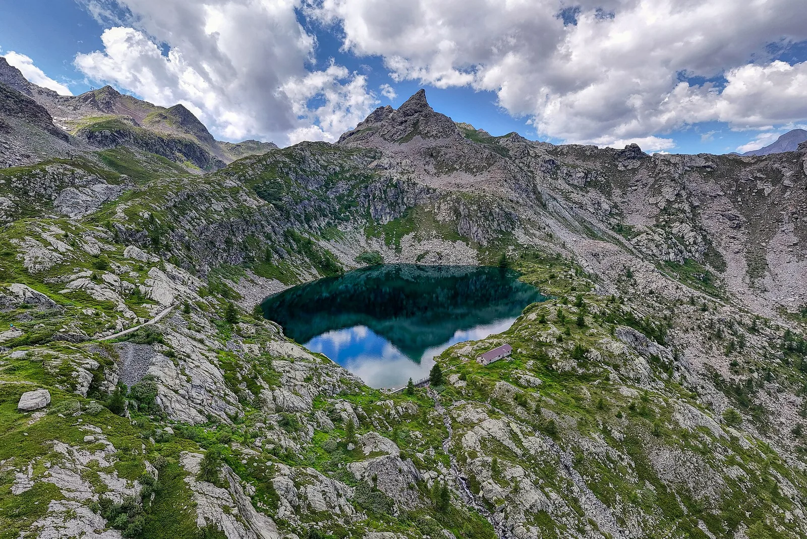
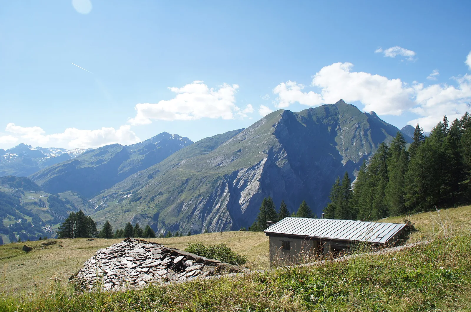
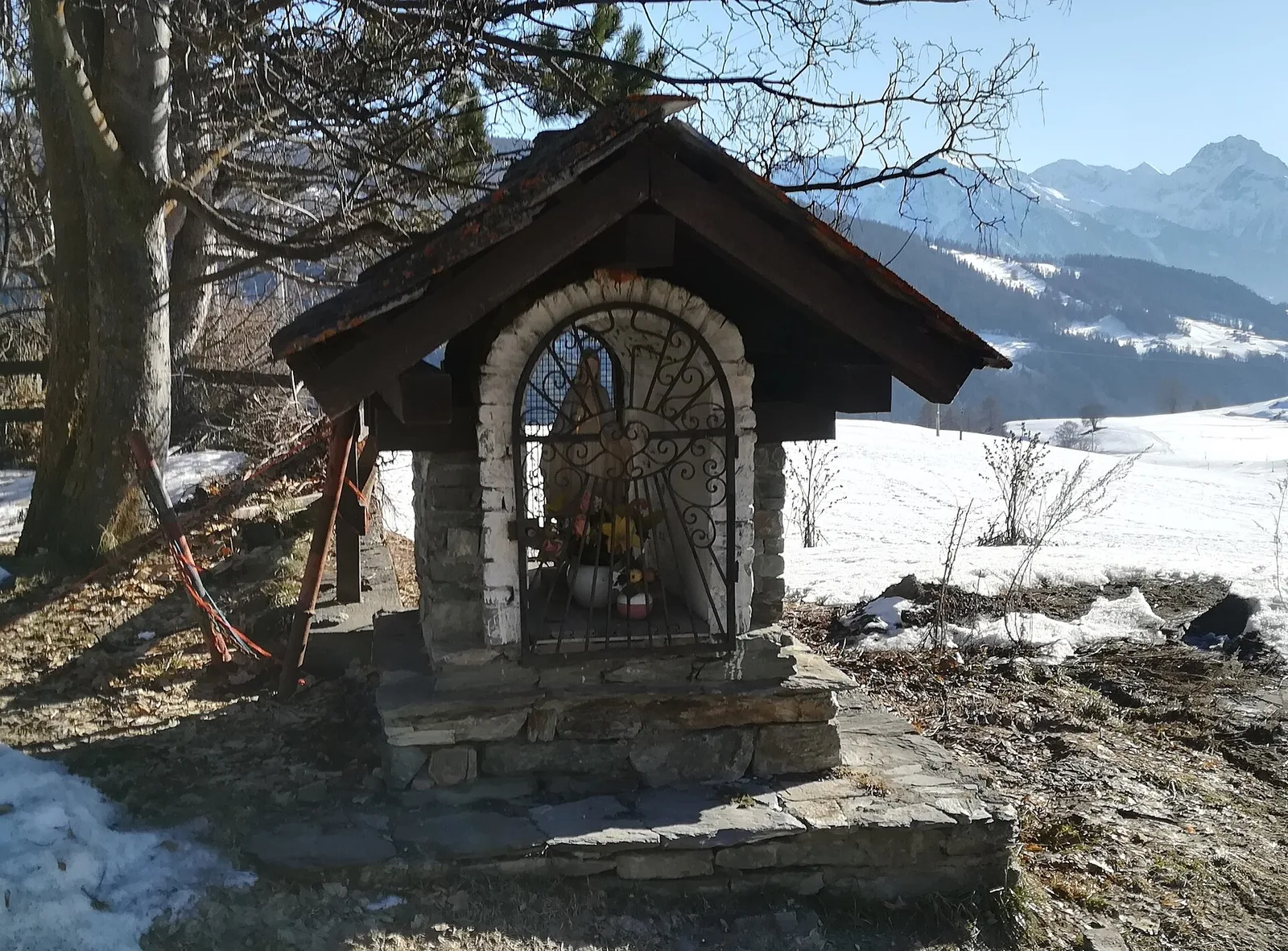
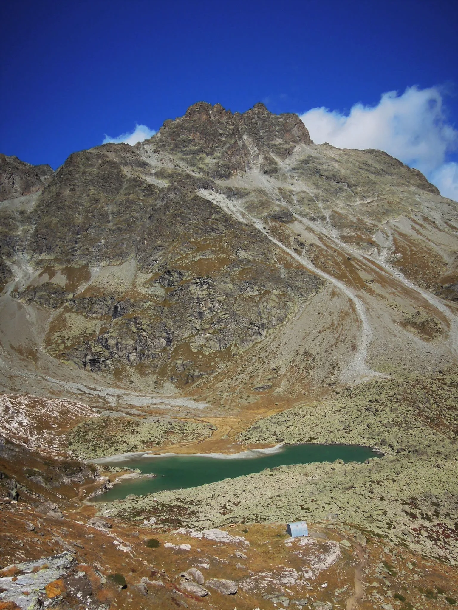
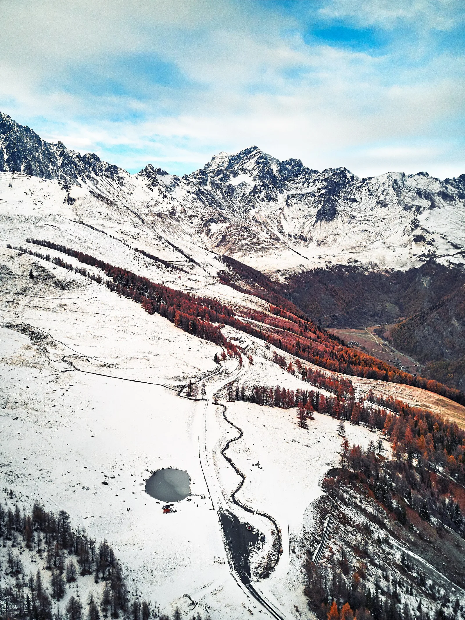
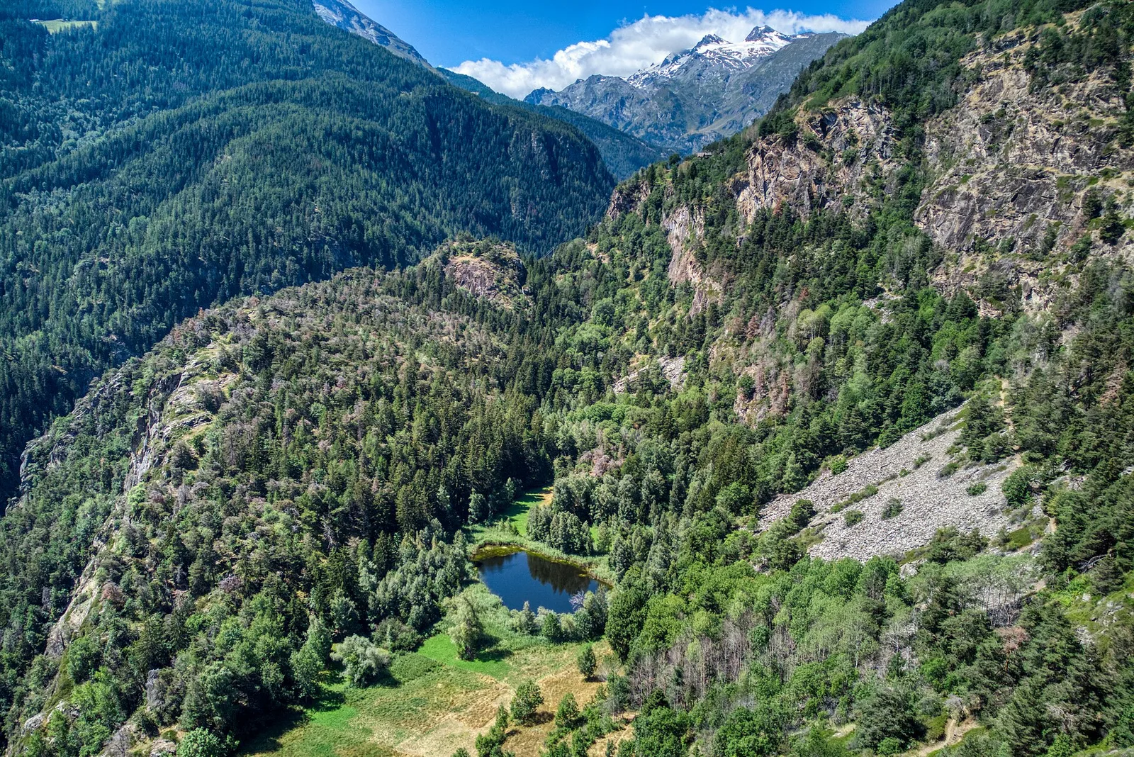
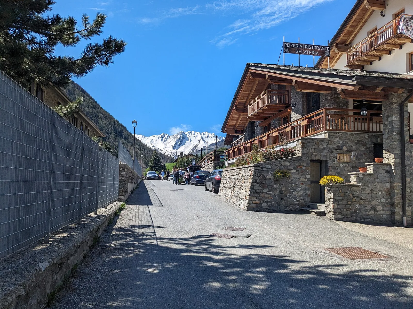
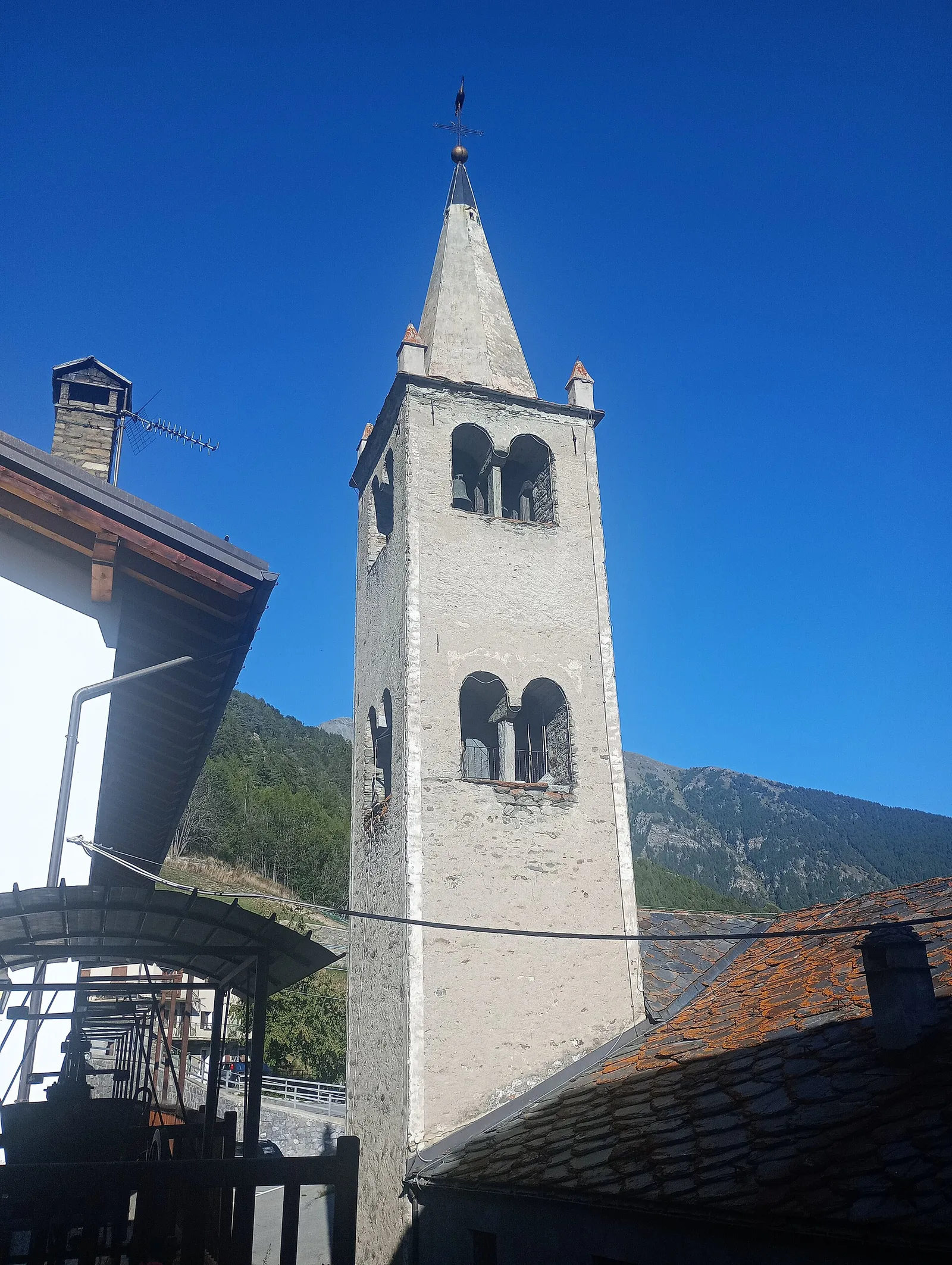
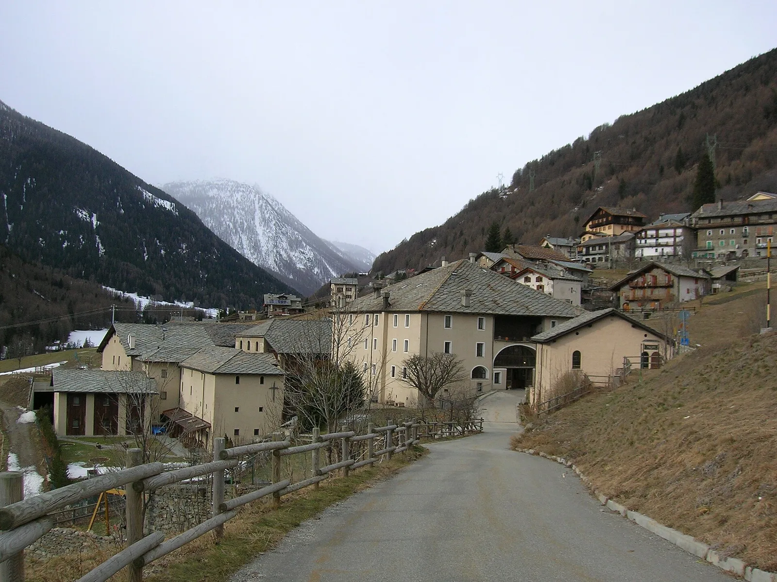
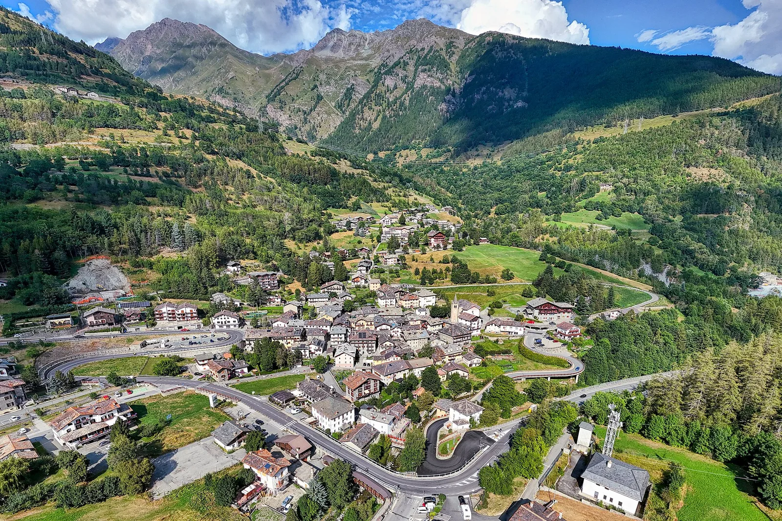
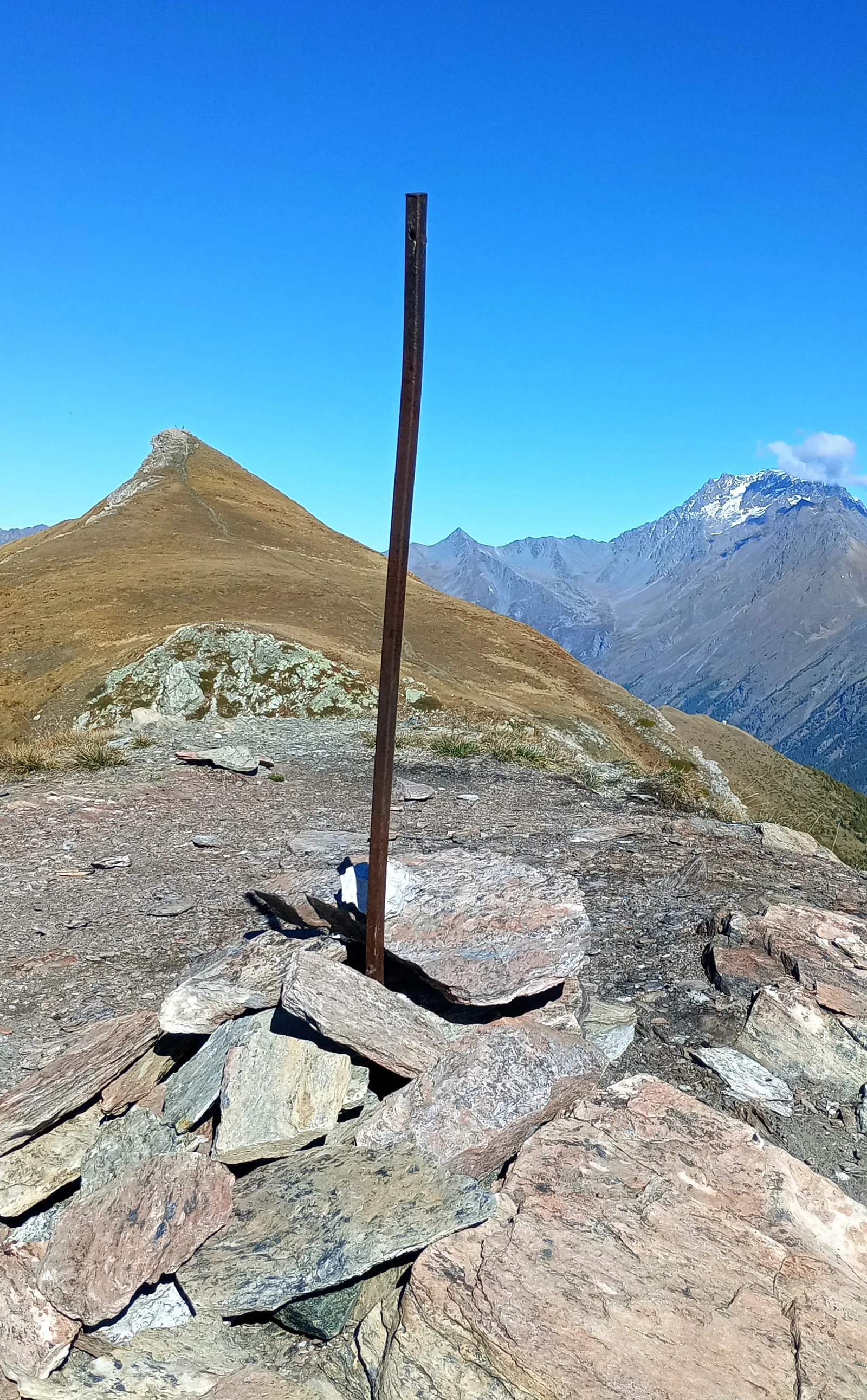
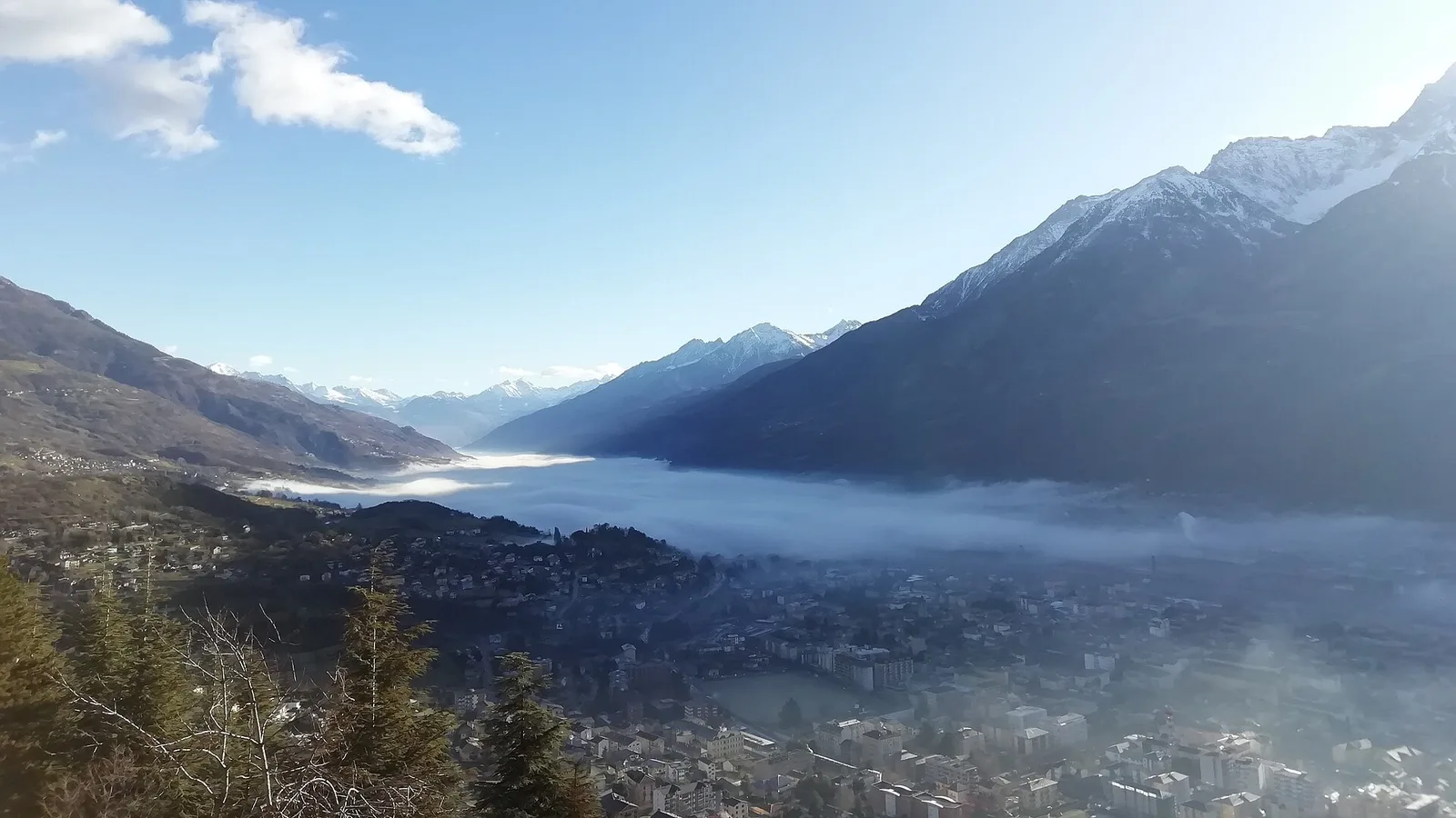
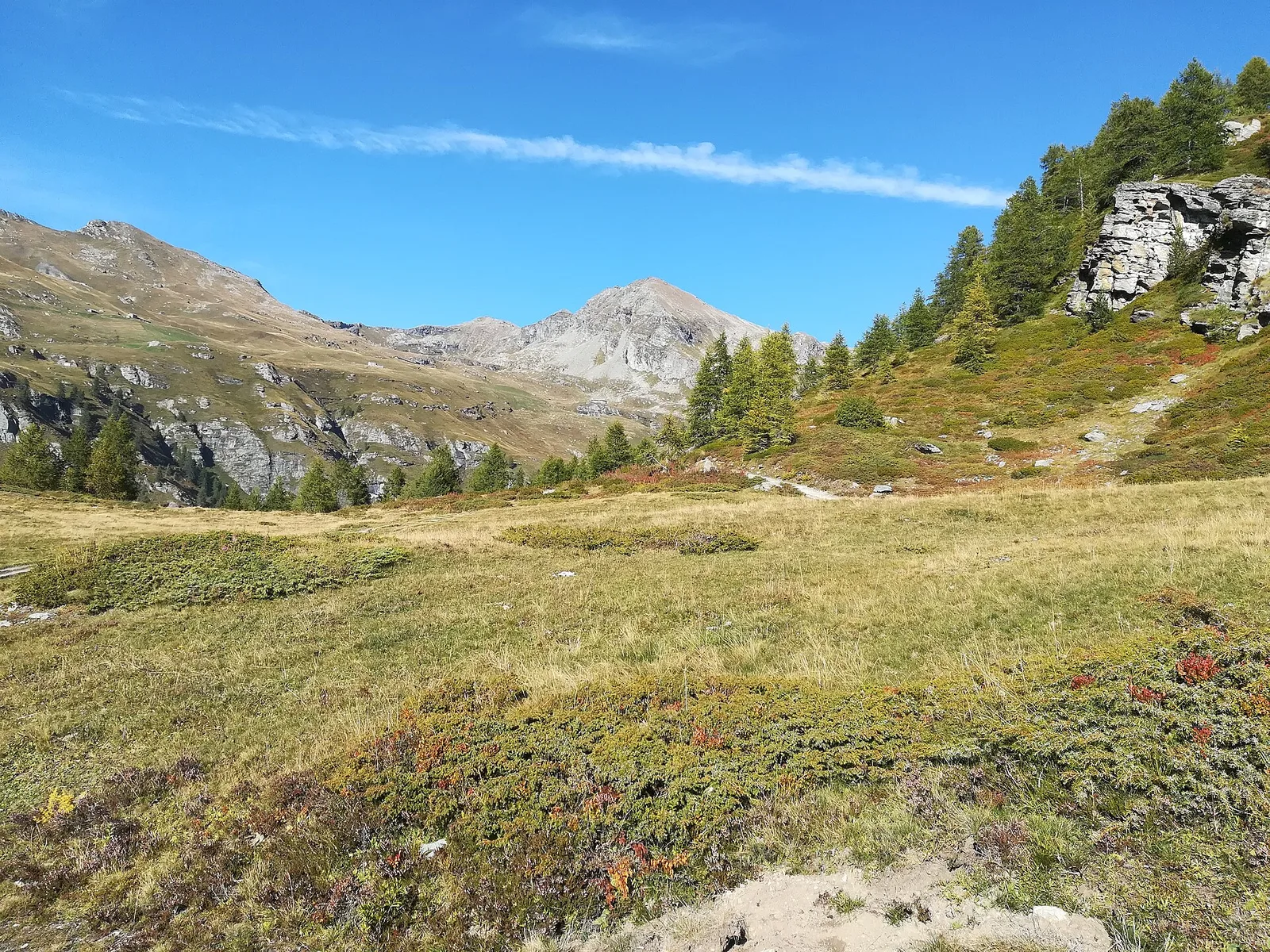
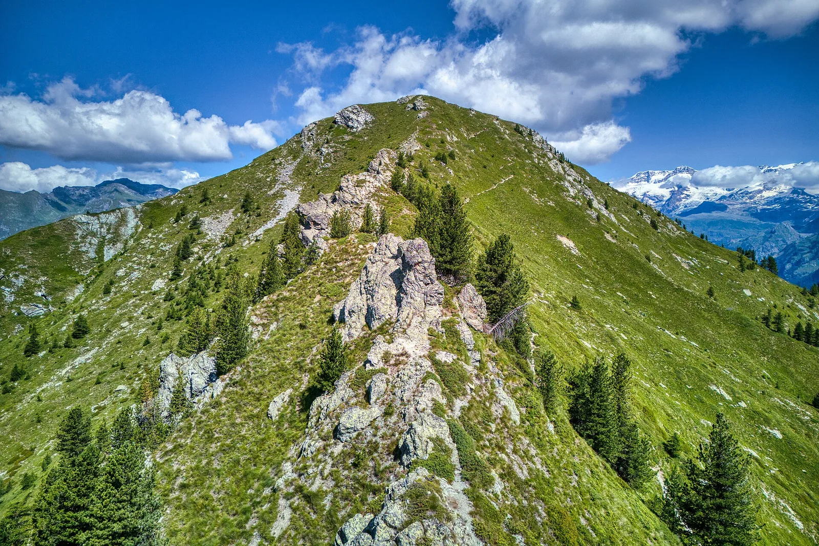
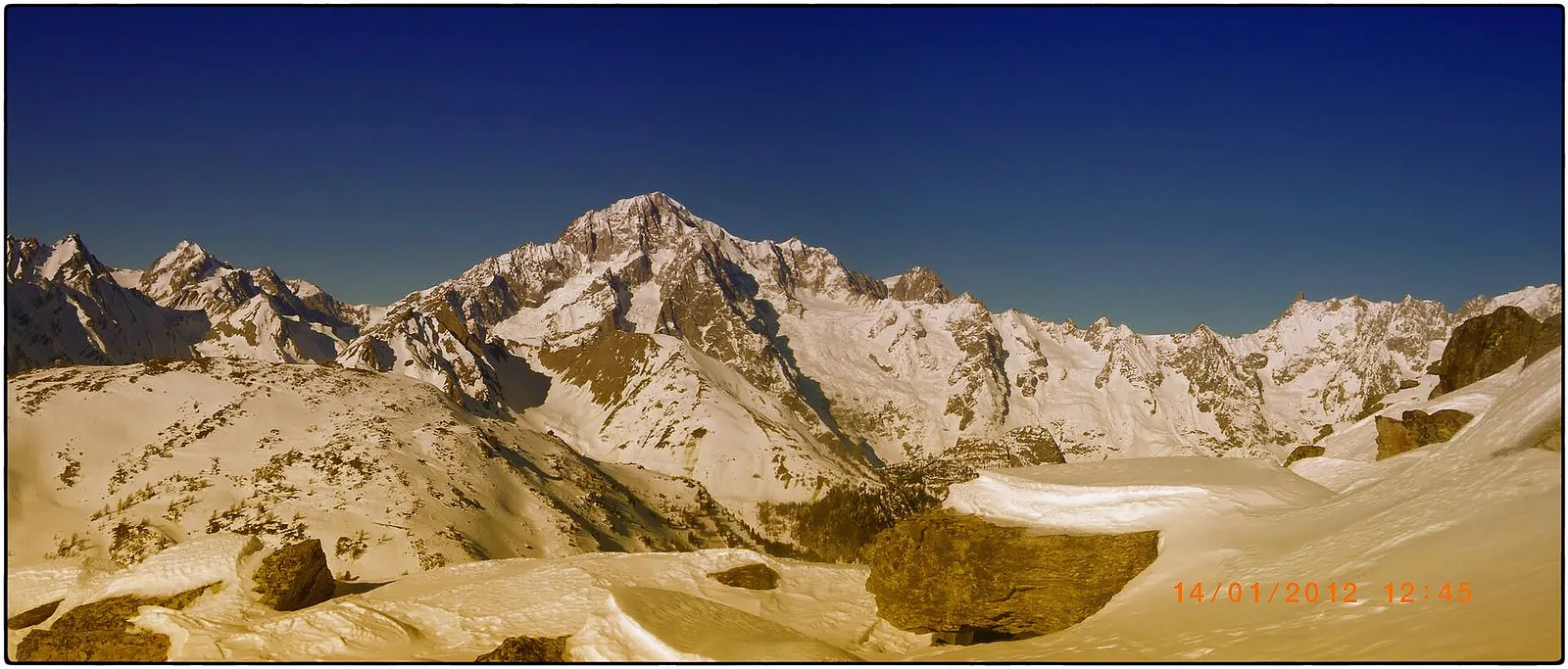
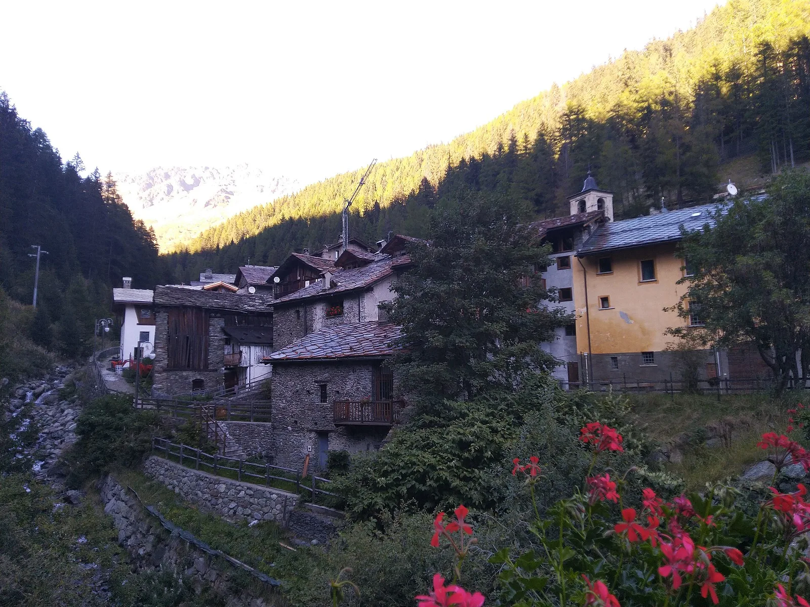
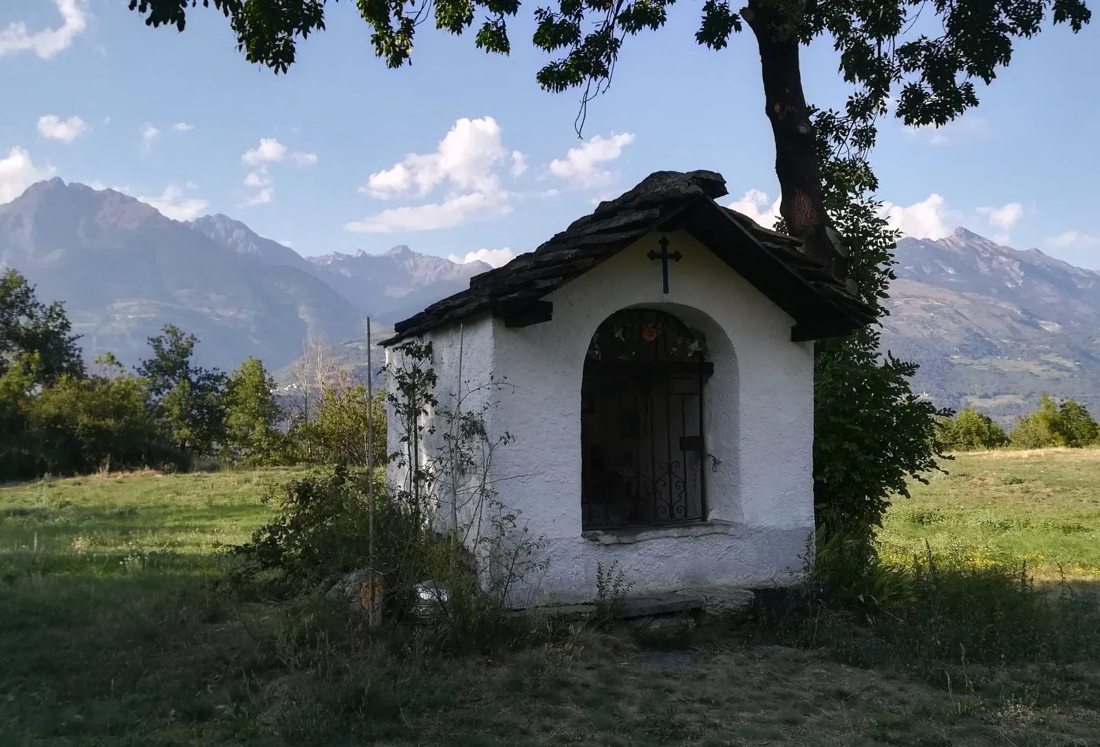
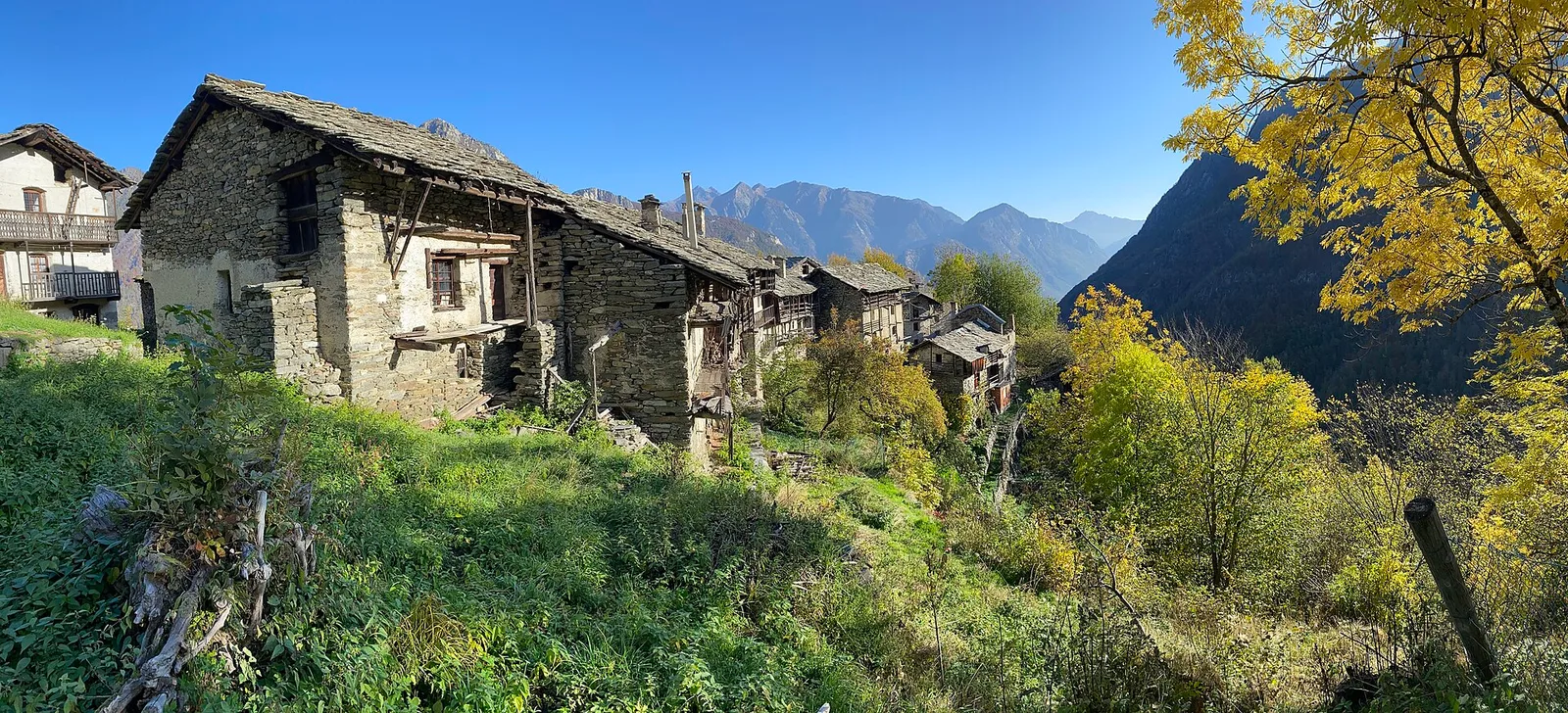
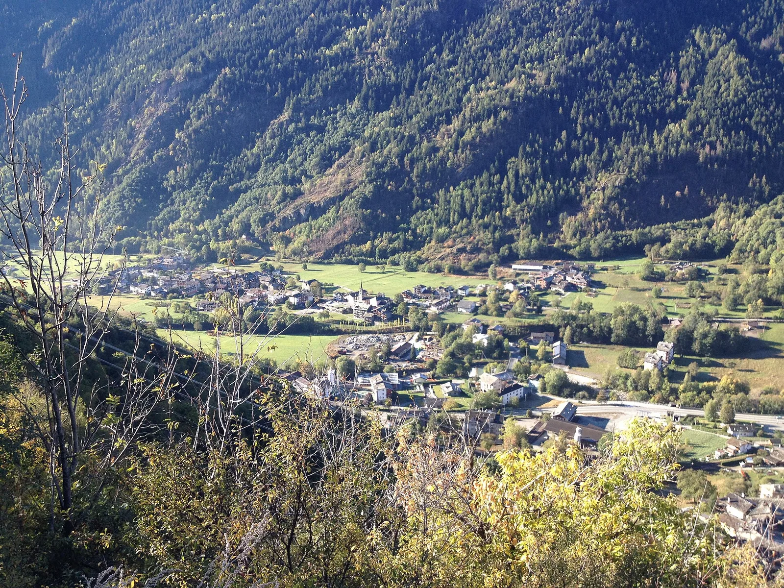
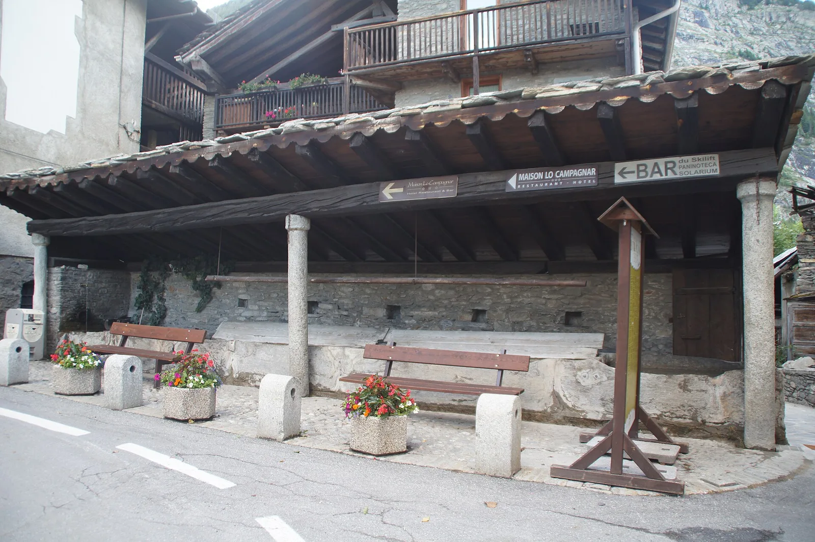
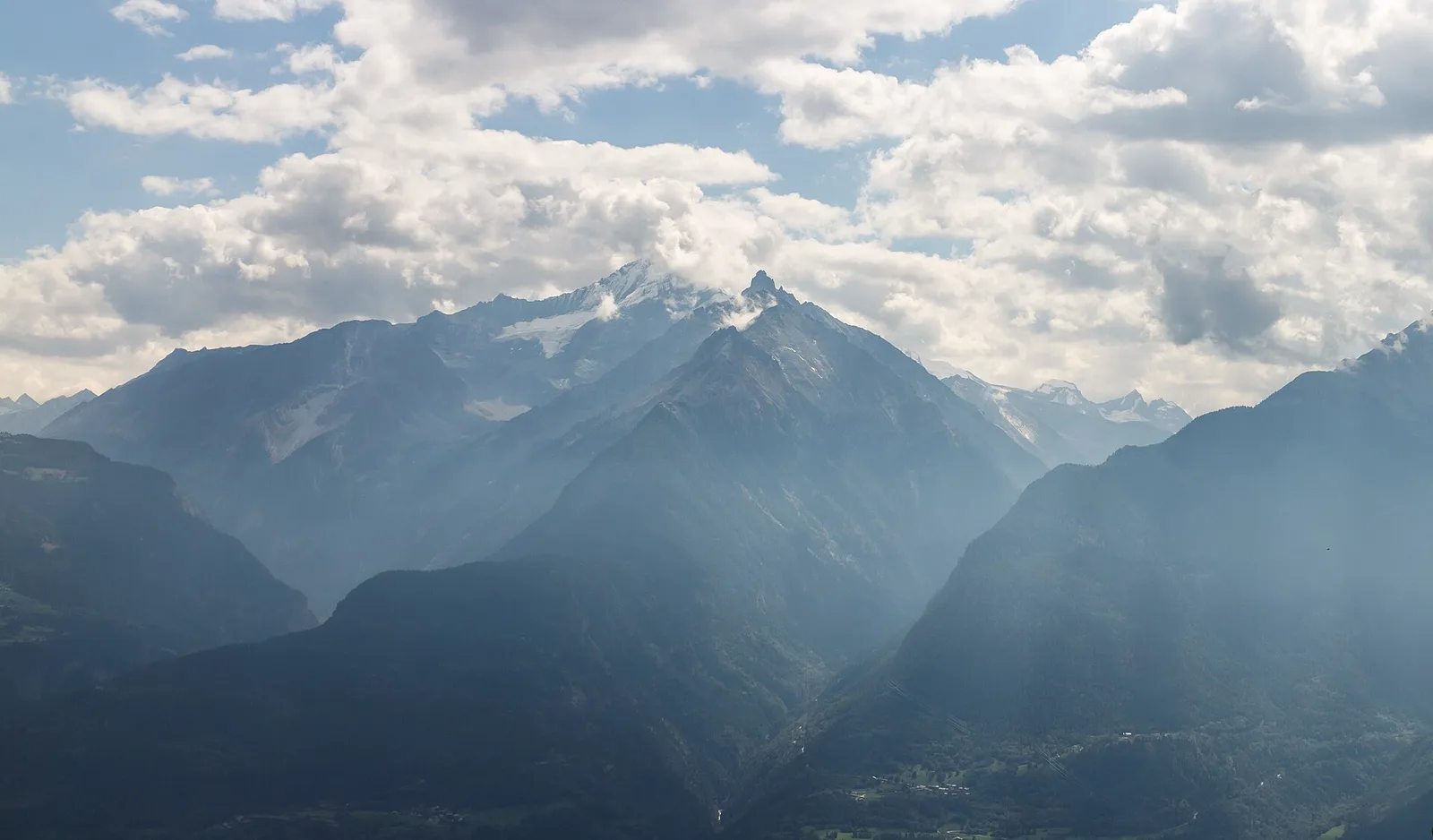
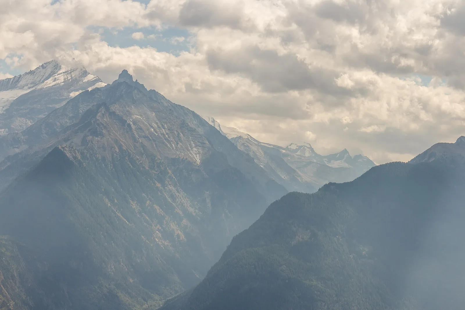
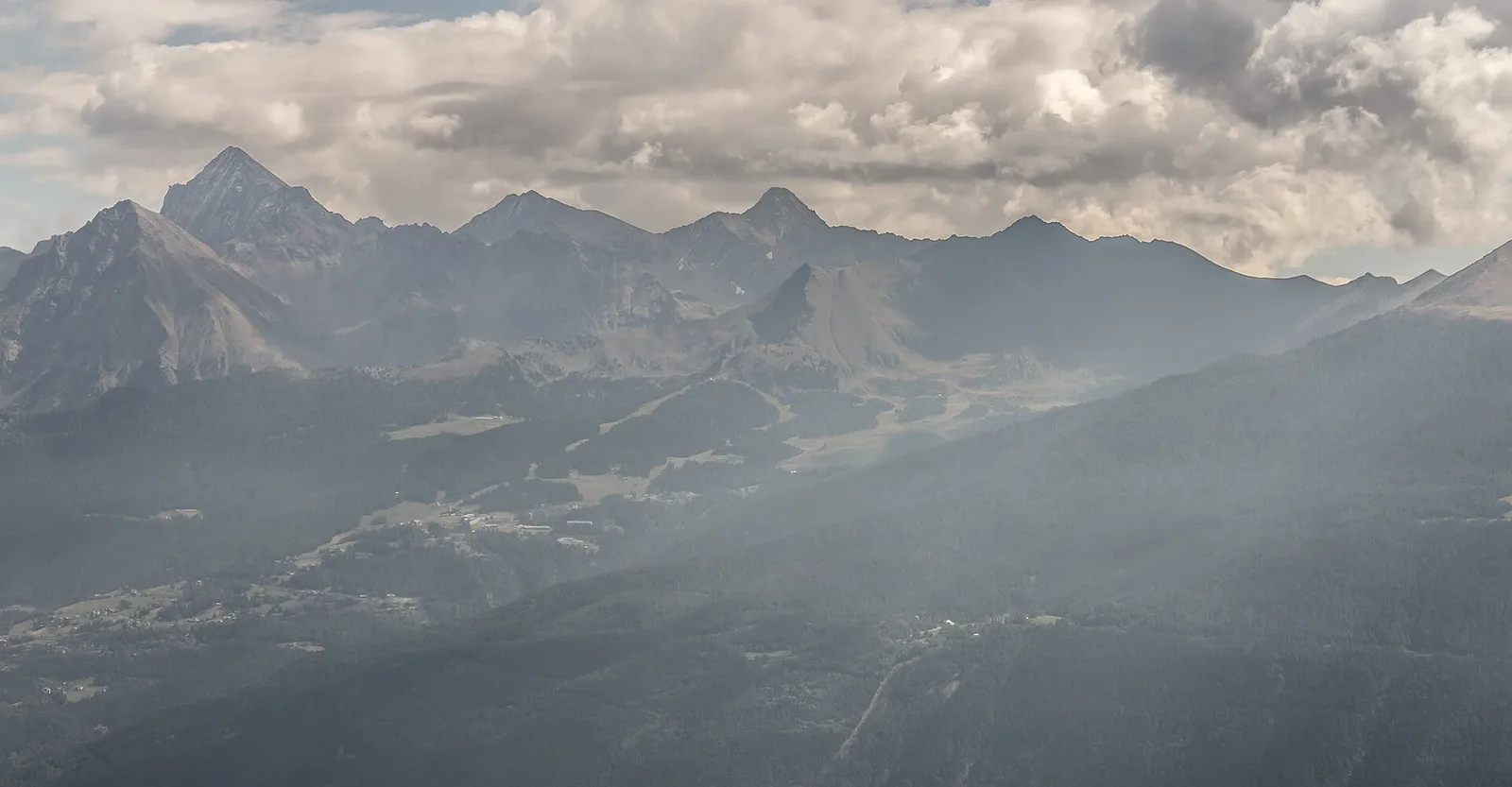
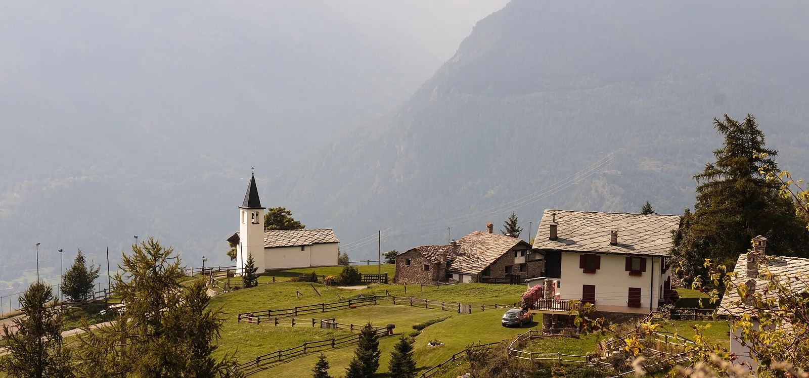
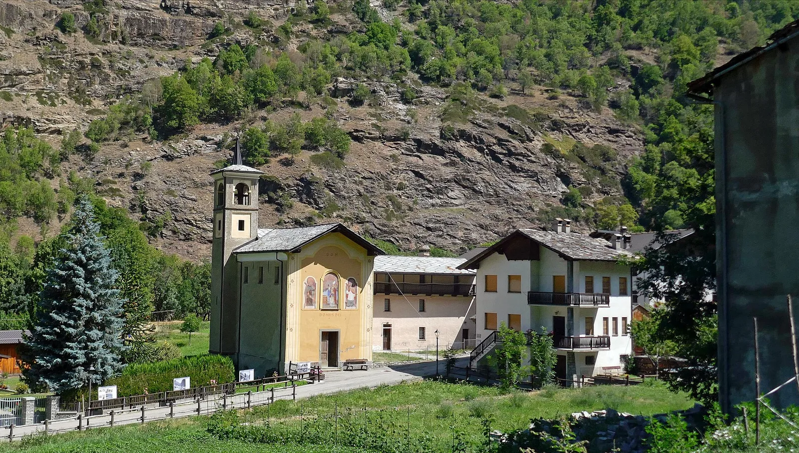
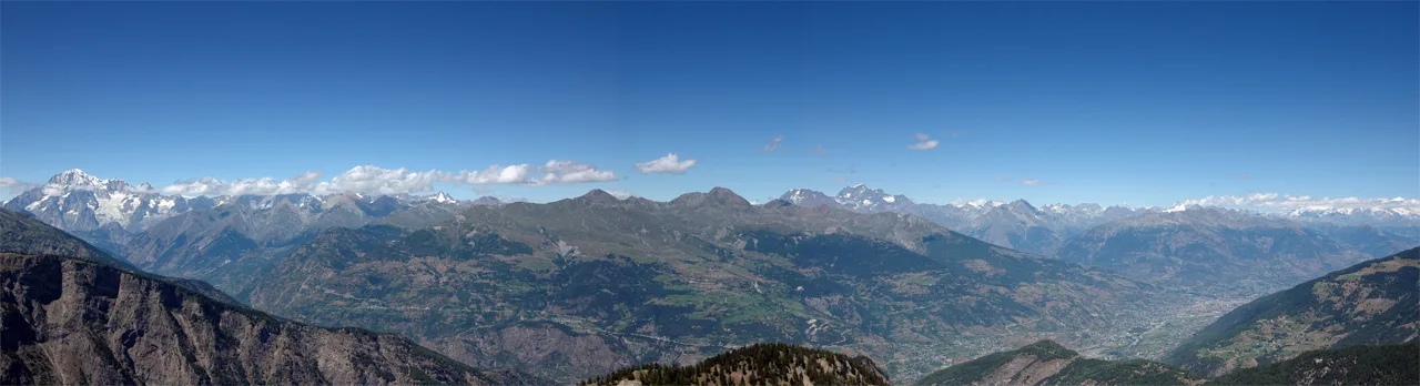
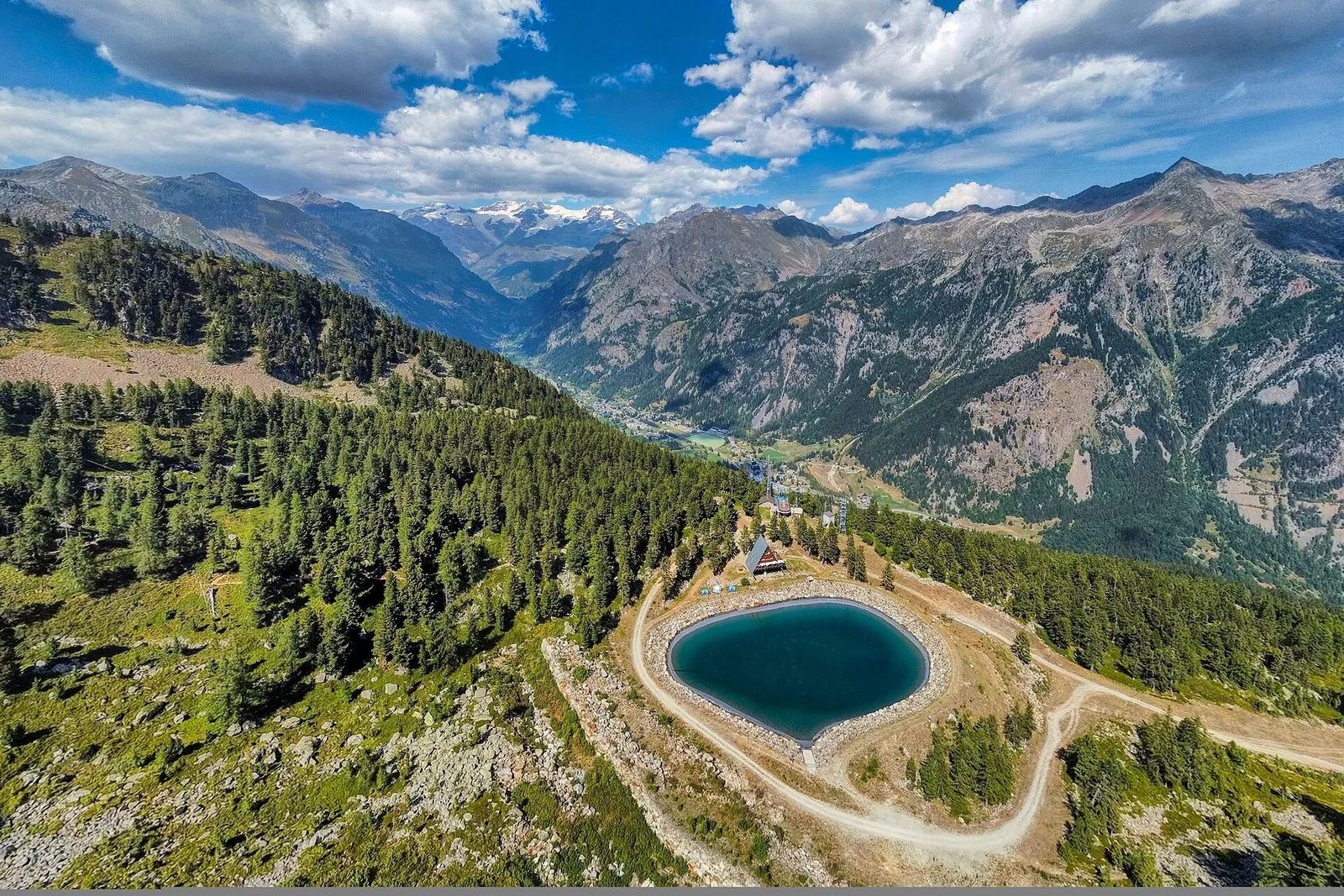
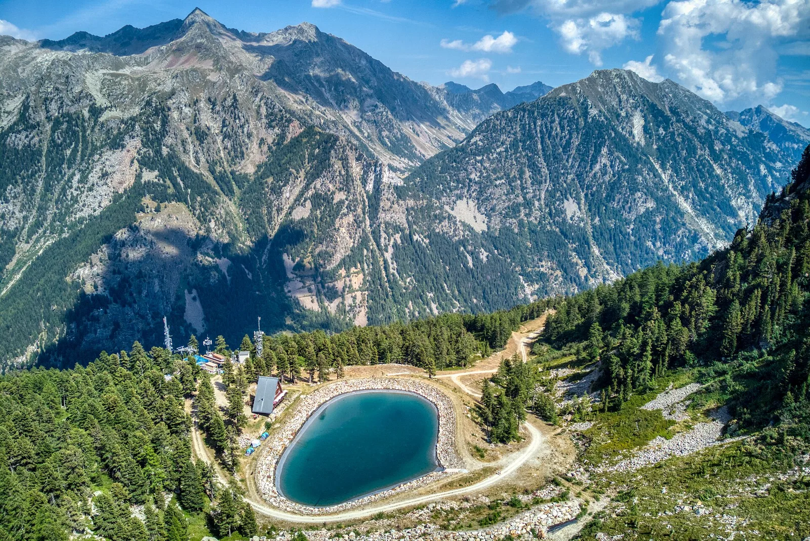
Allein - Mont Saron
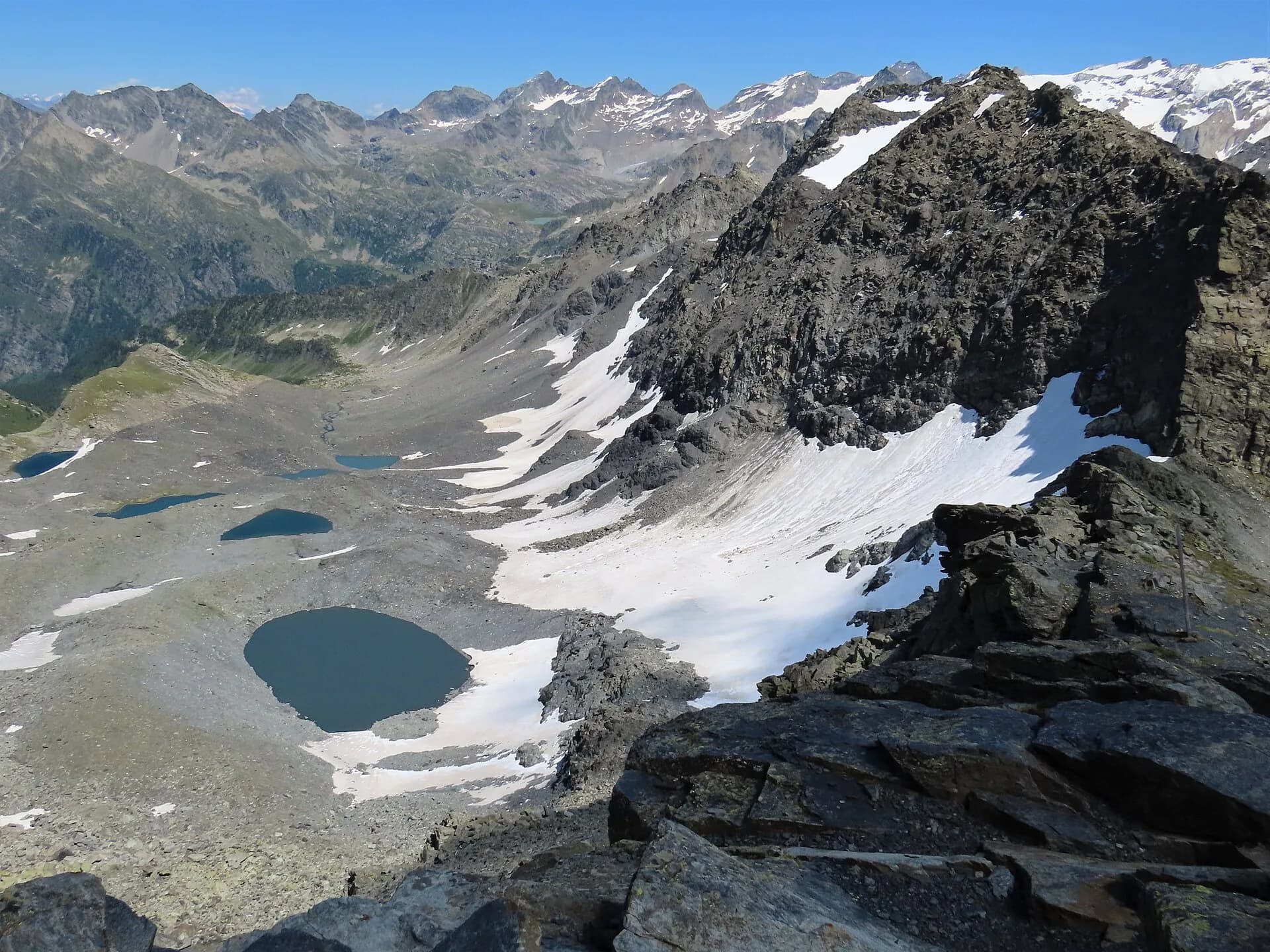
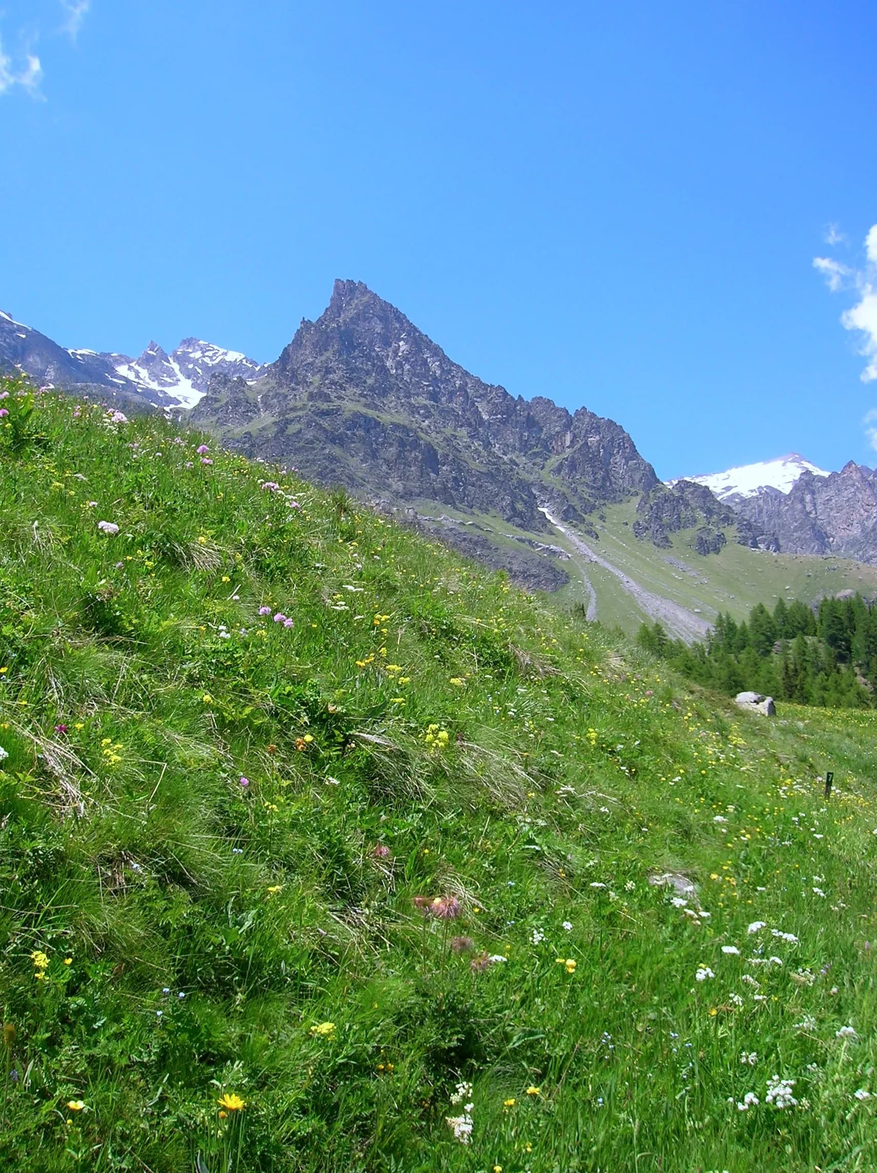
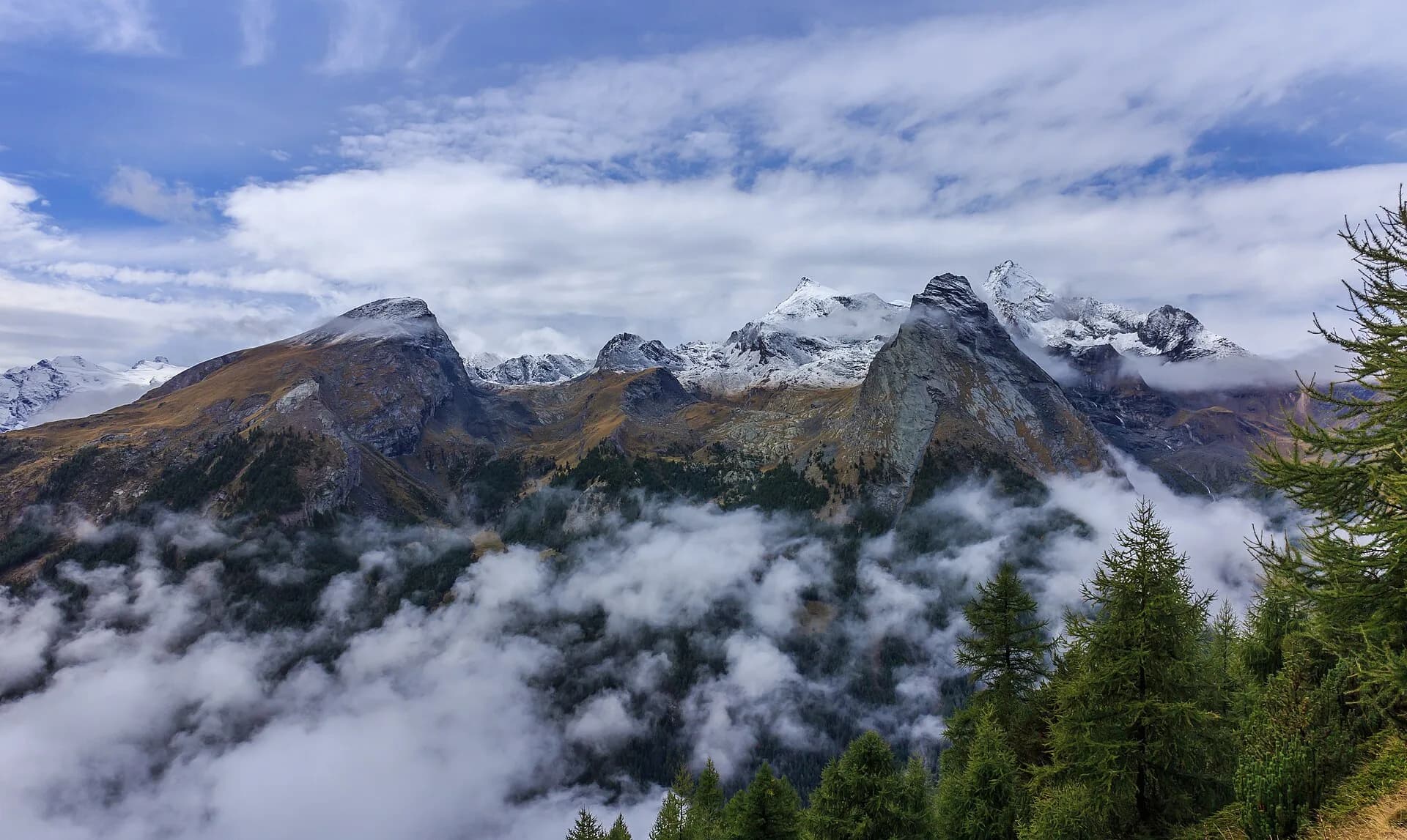
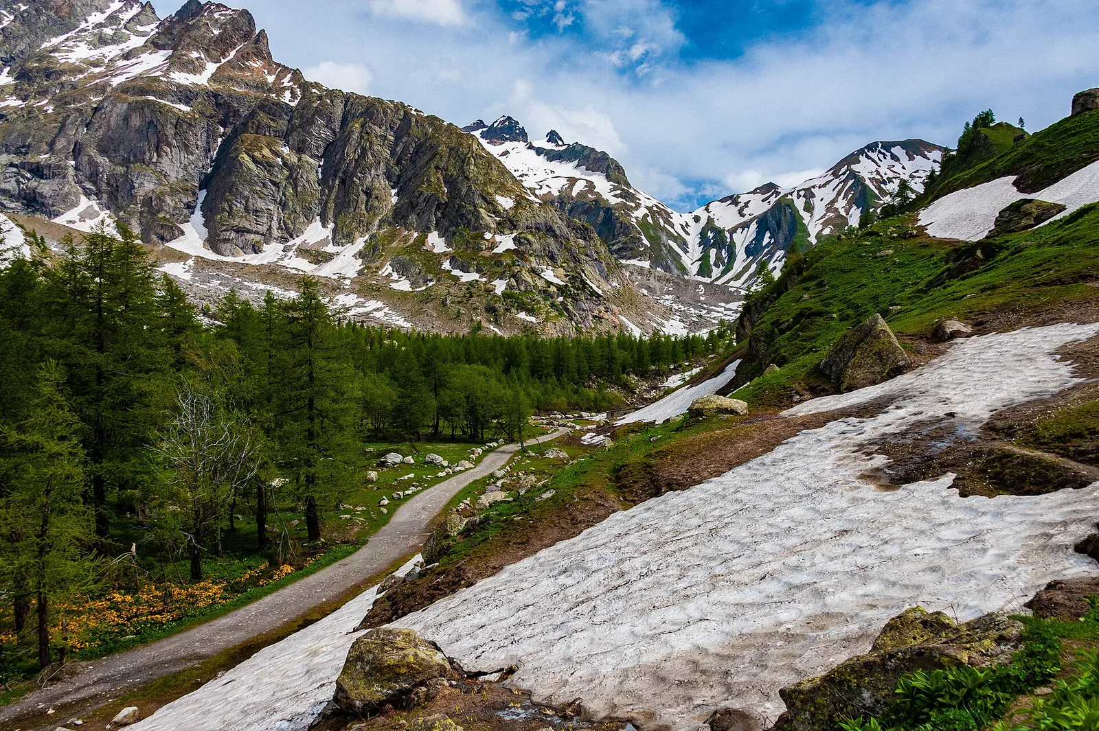
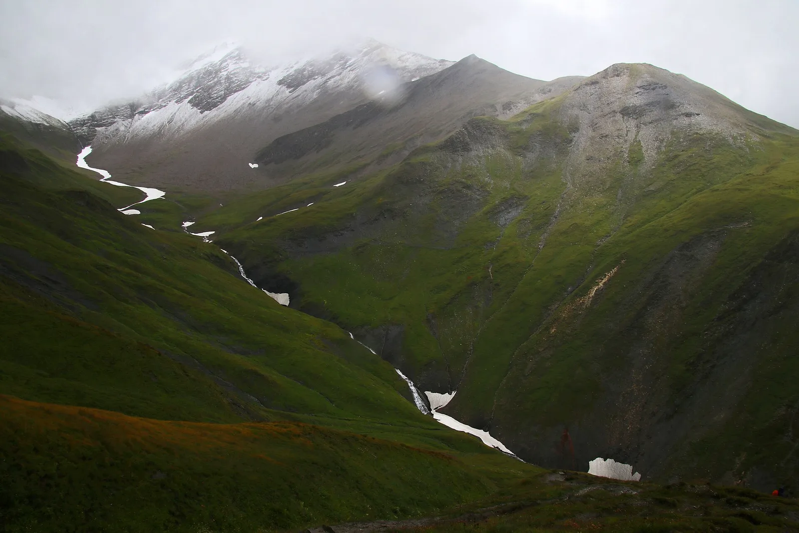
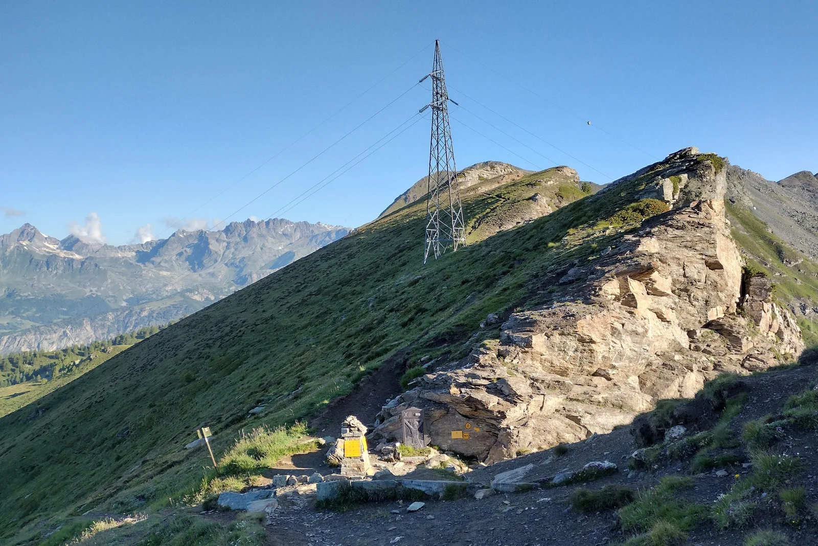
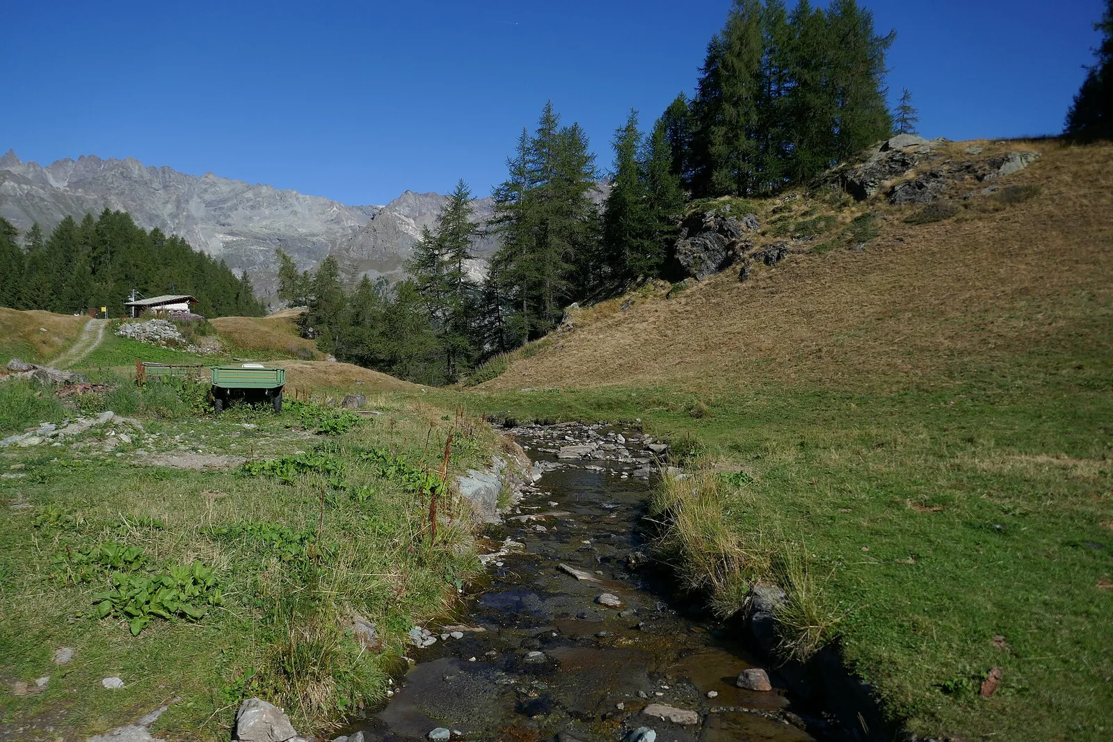
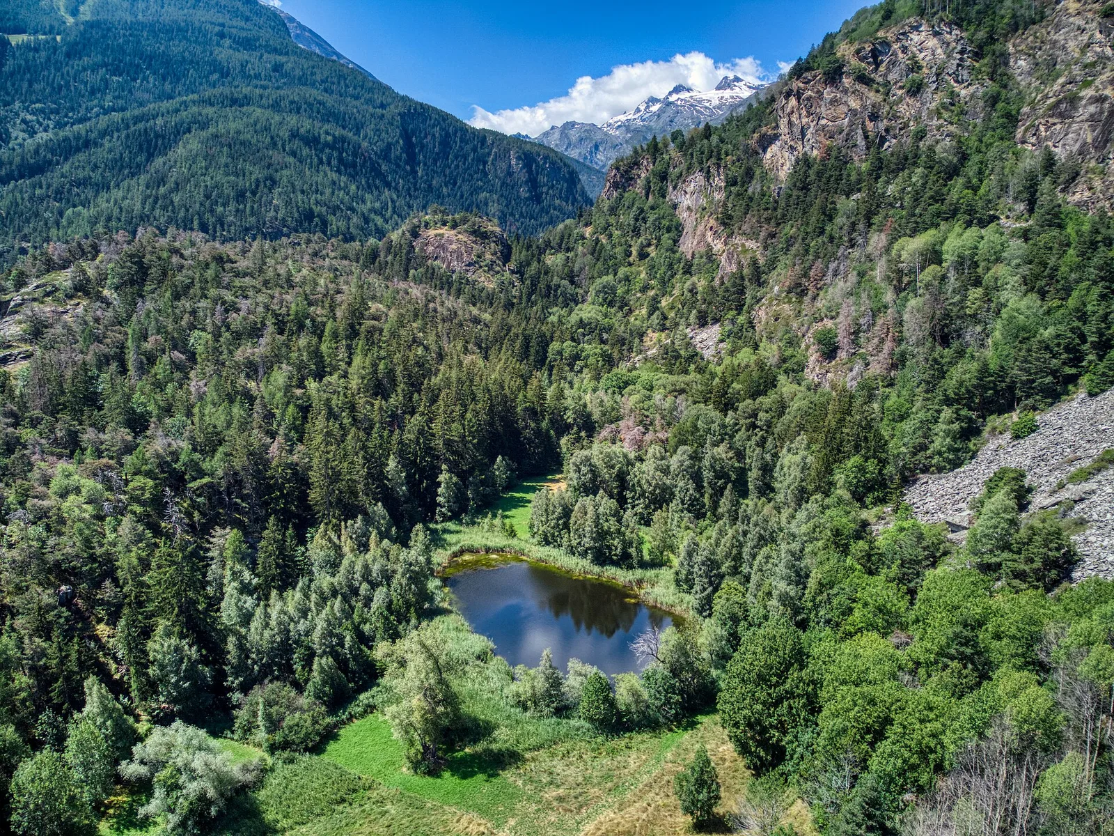
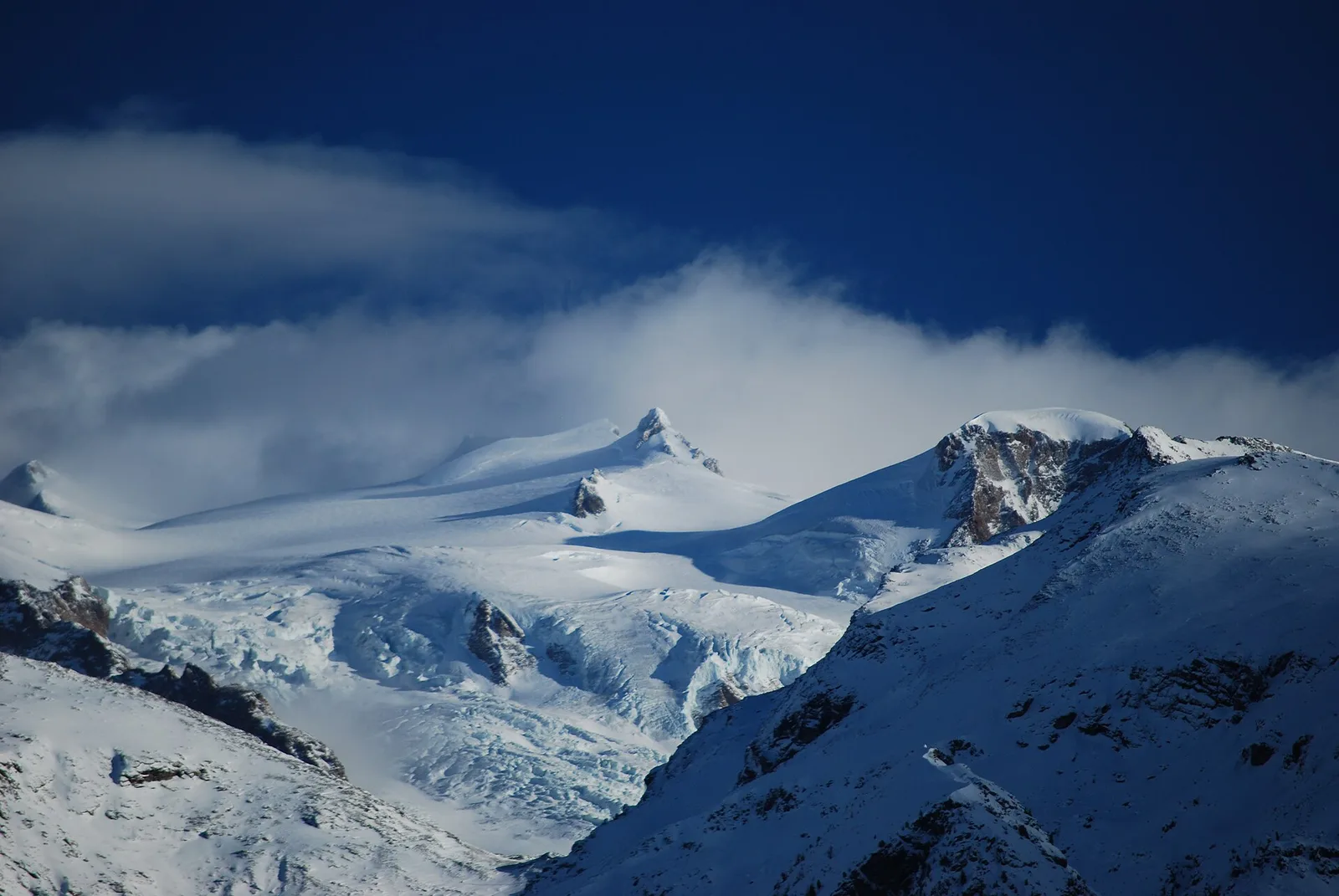
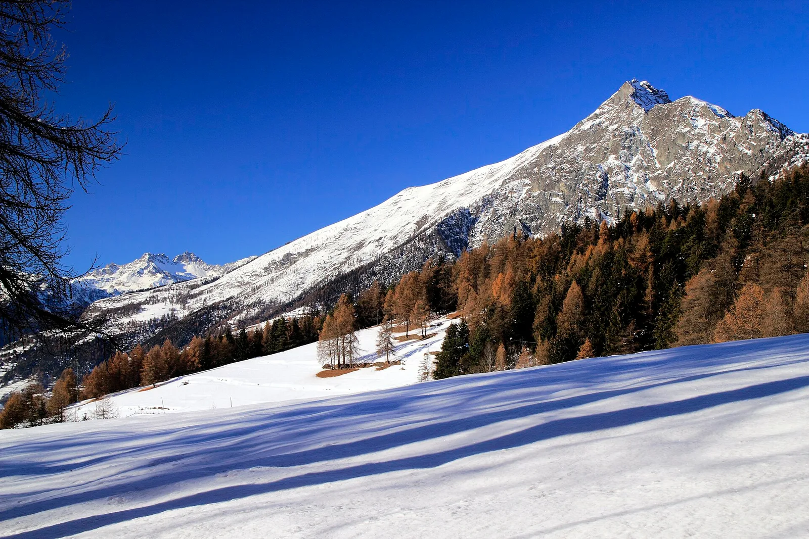
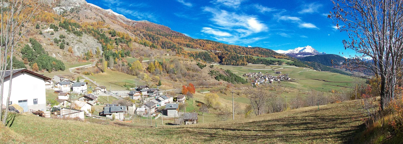
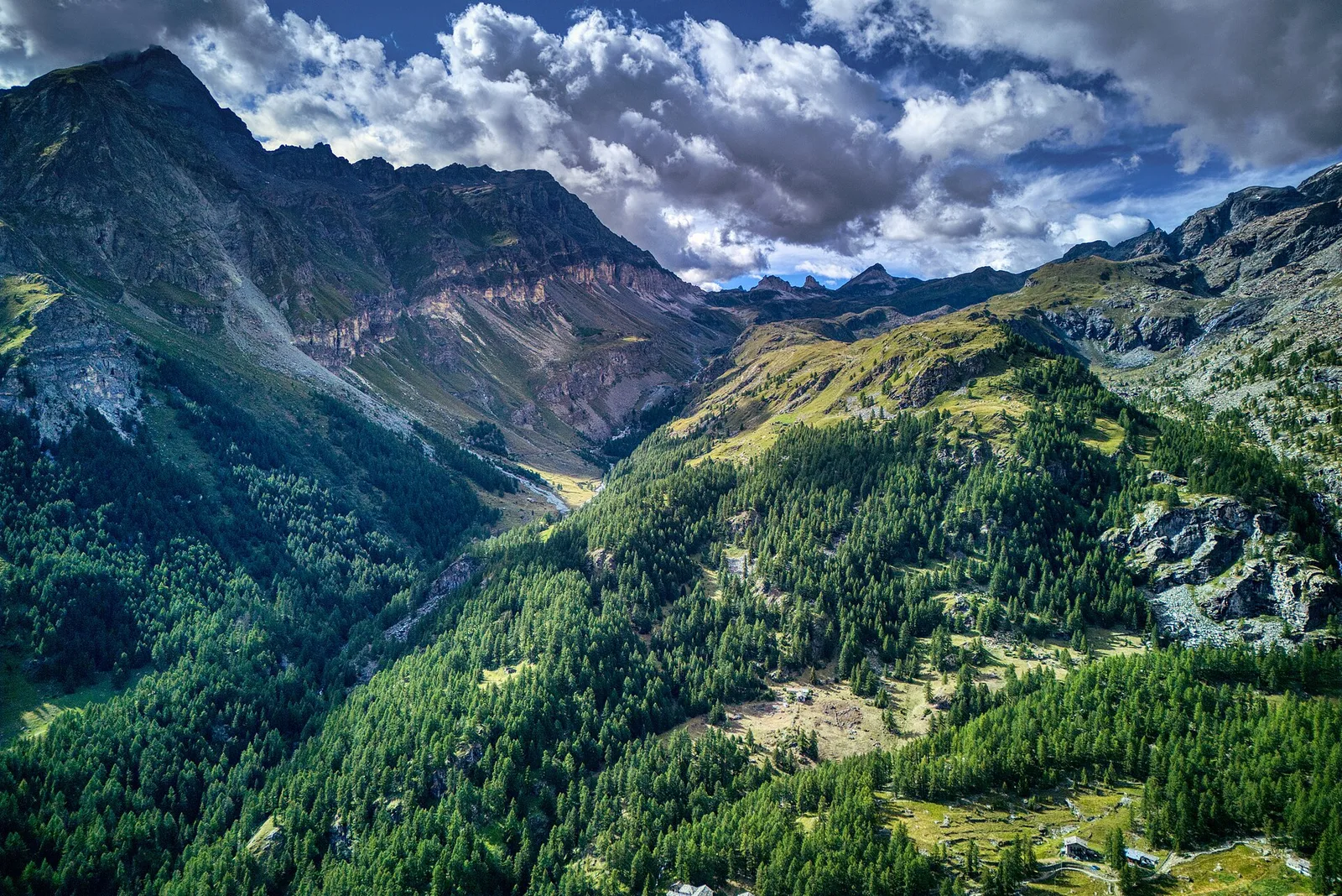
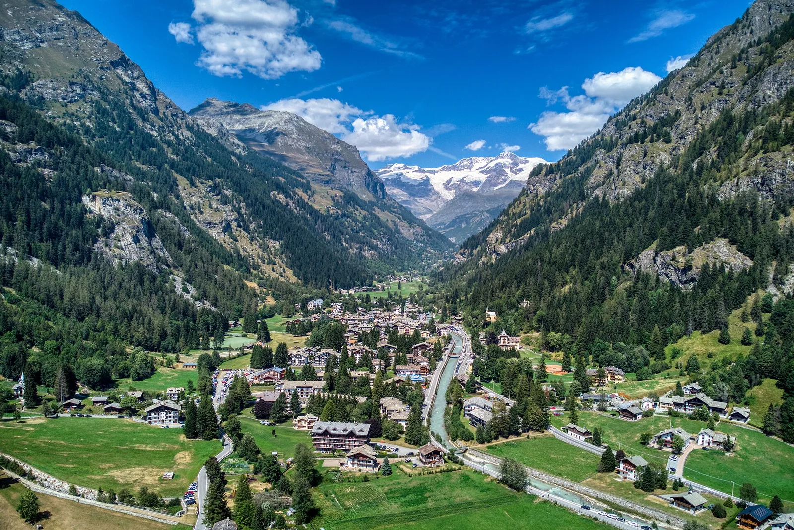
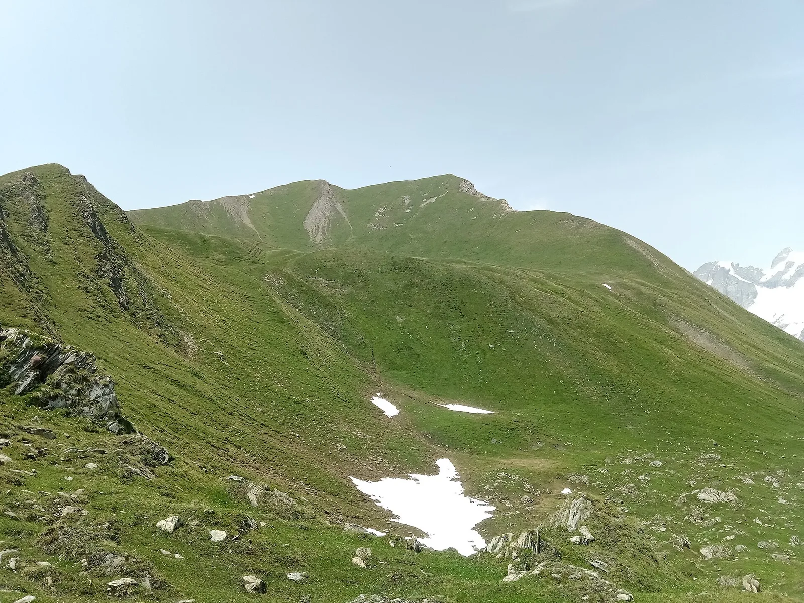
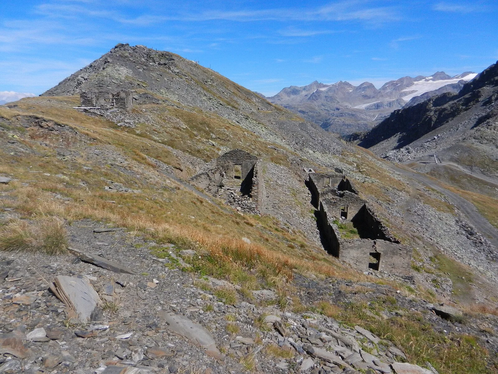
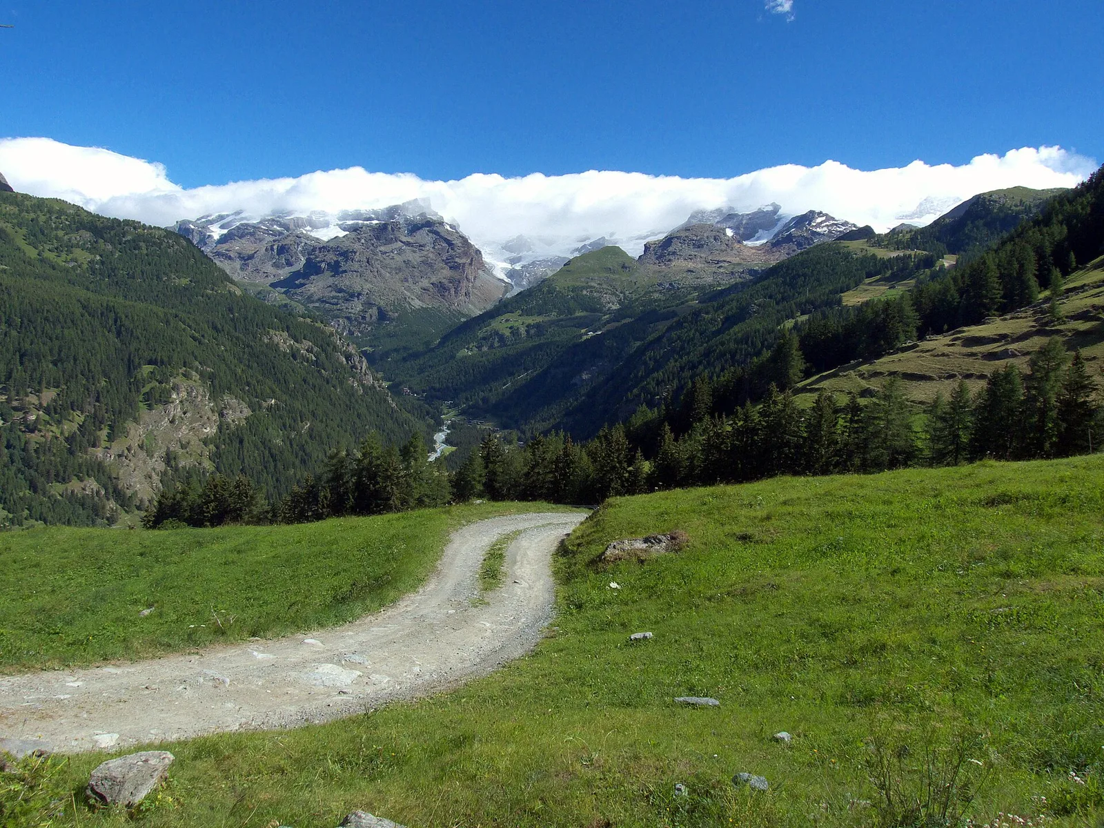
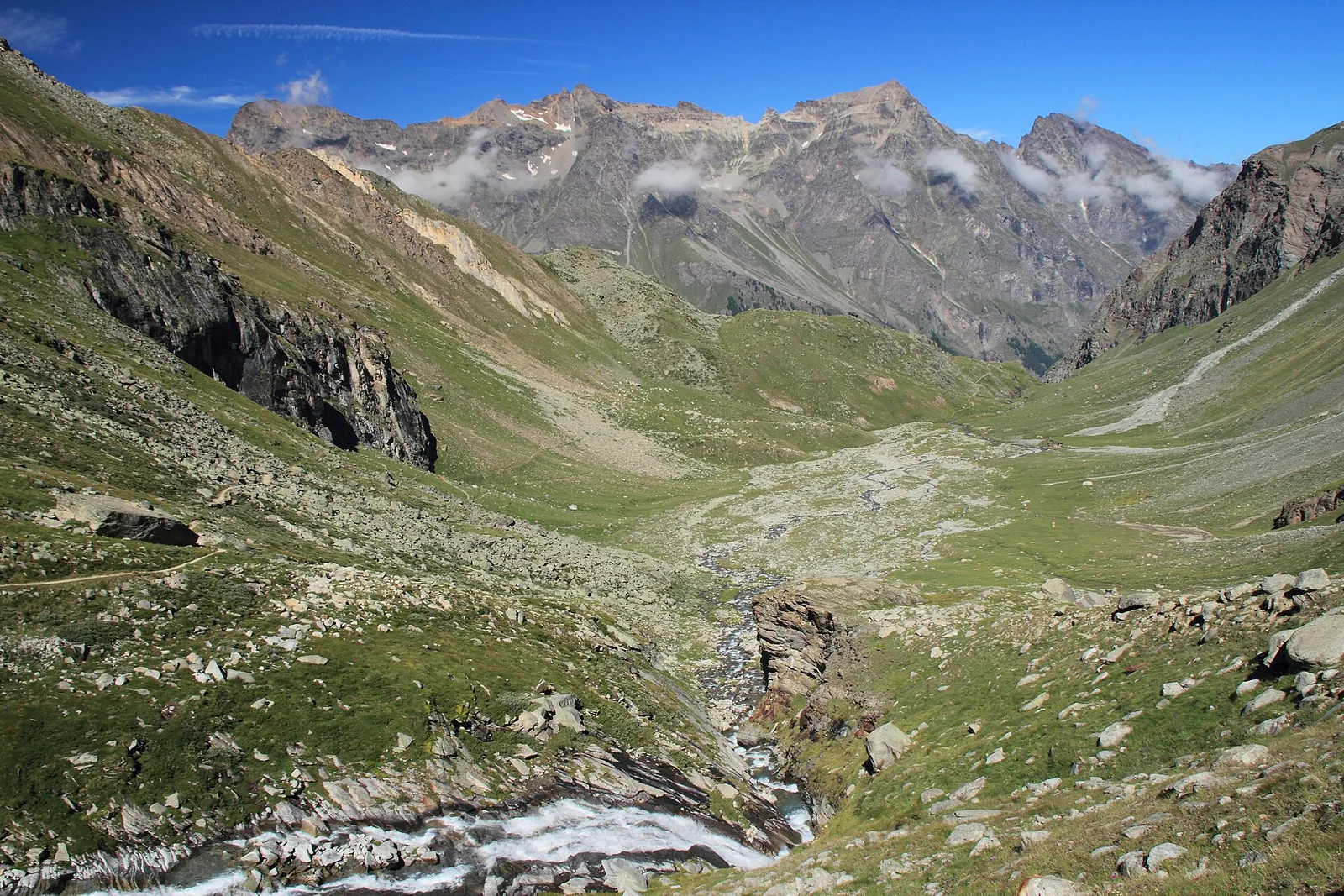
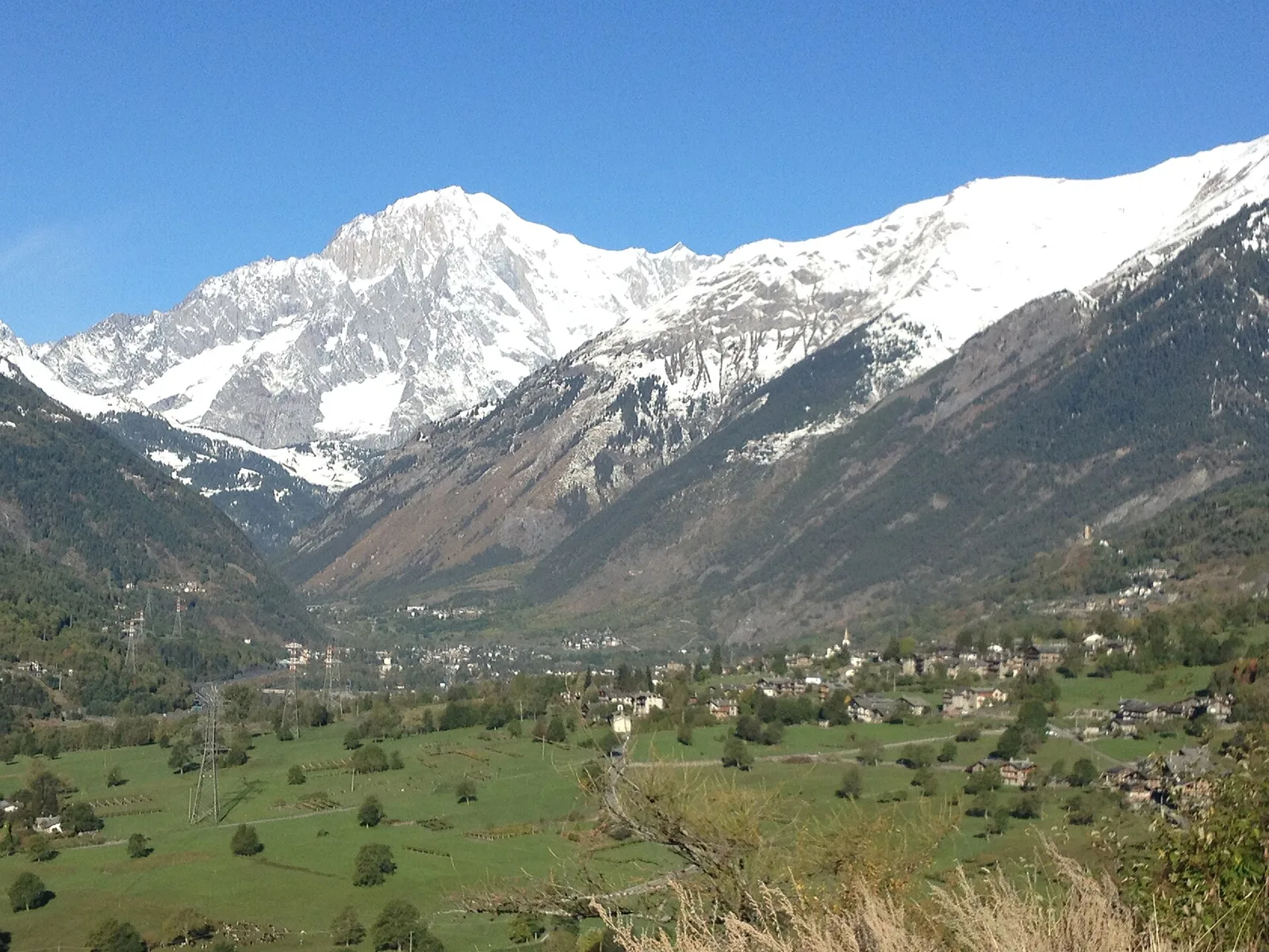
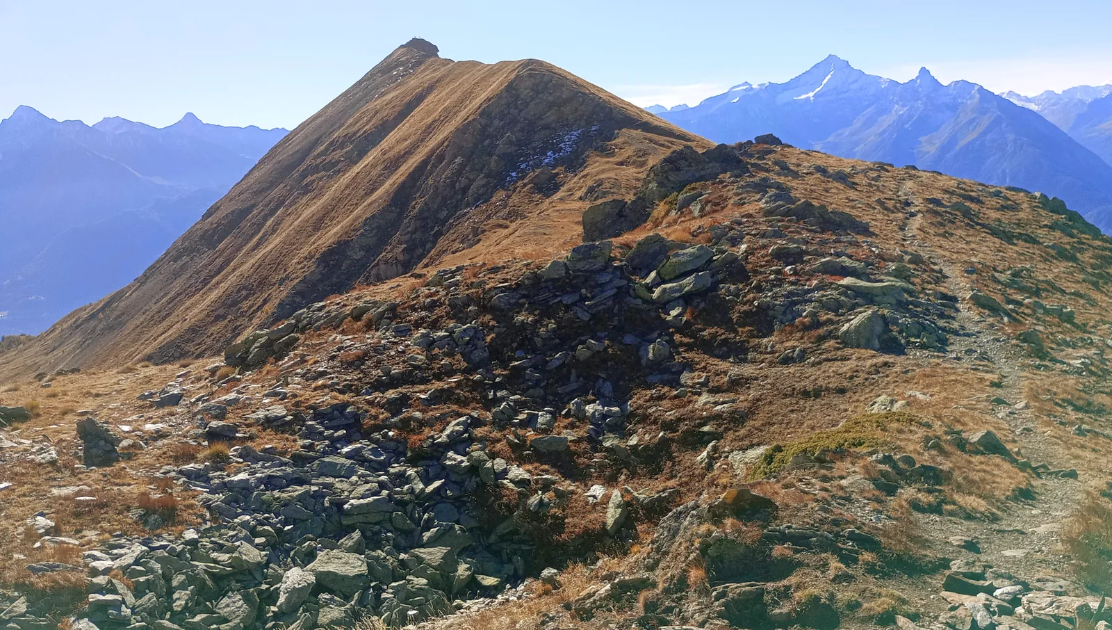
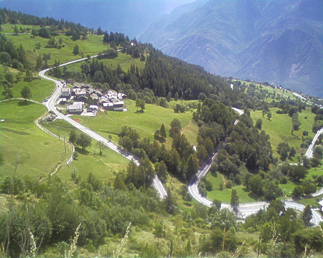
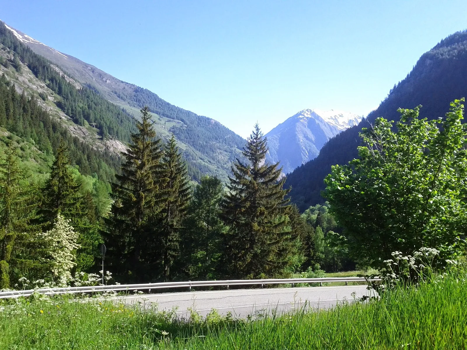
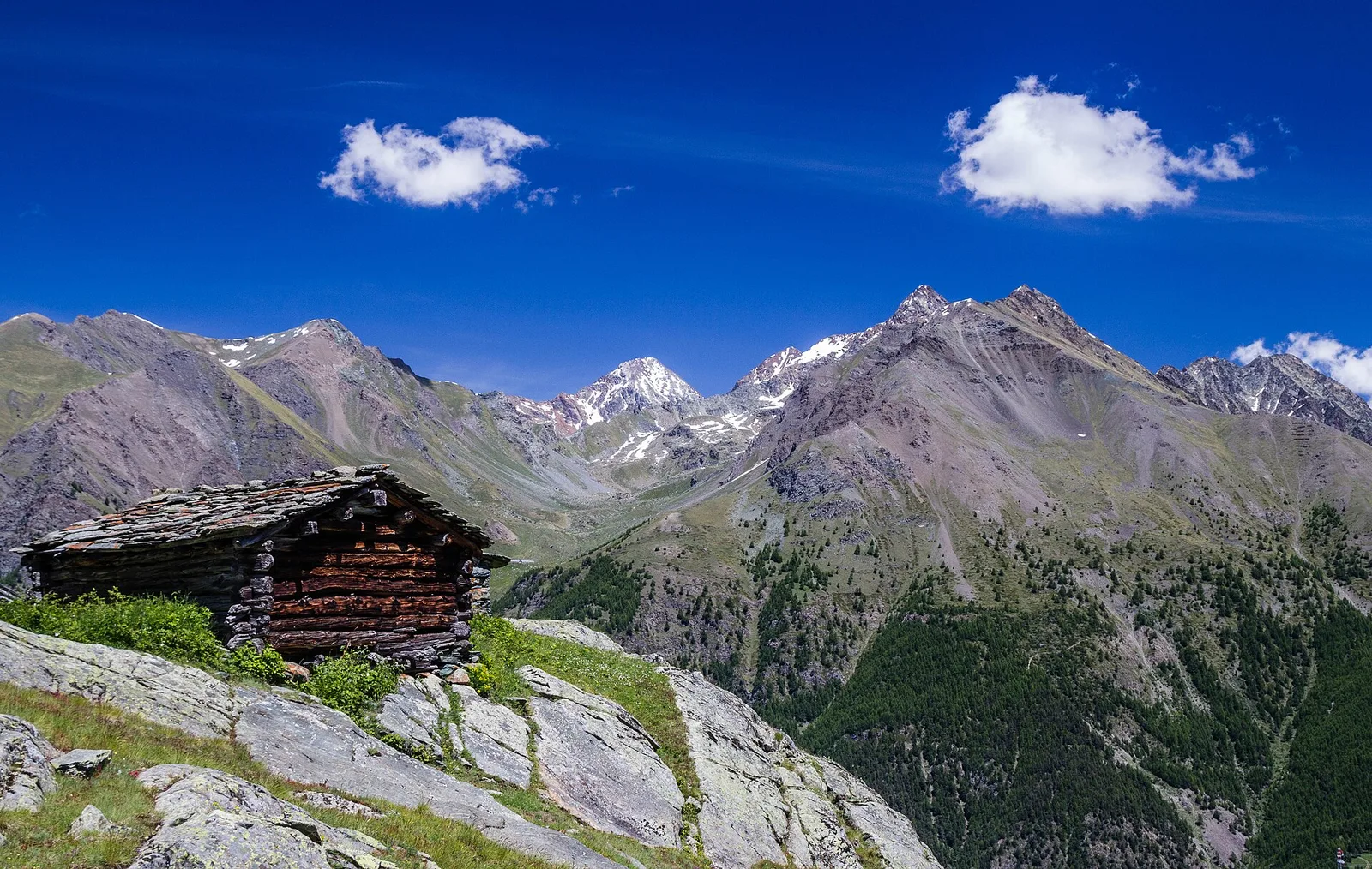
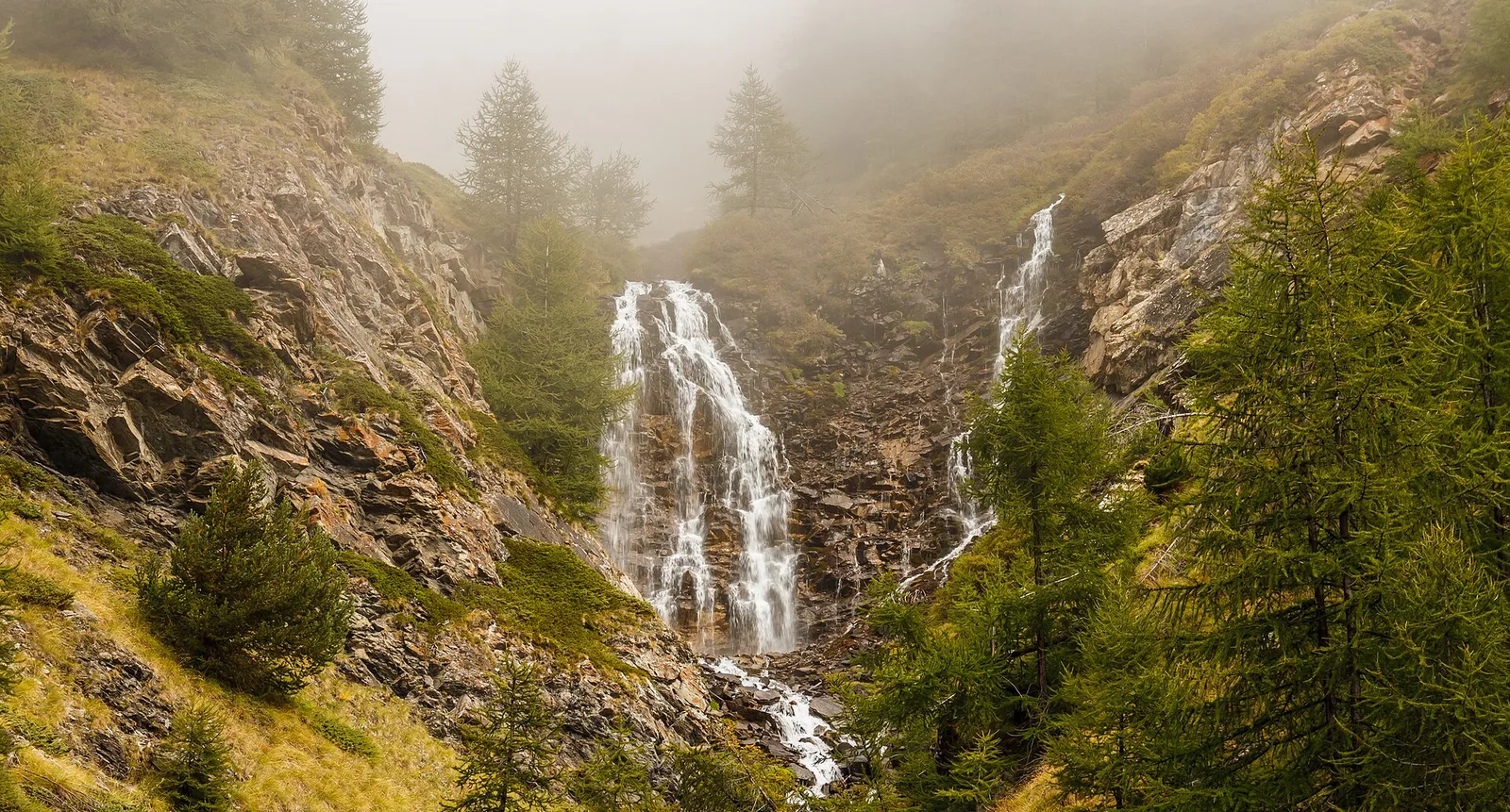
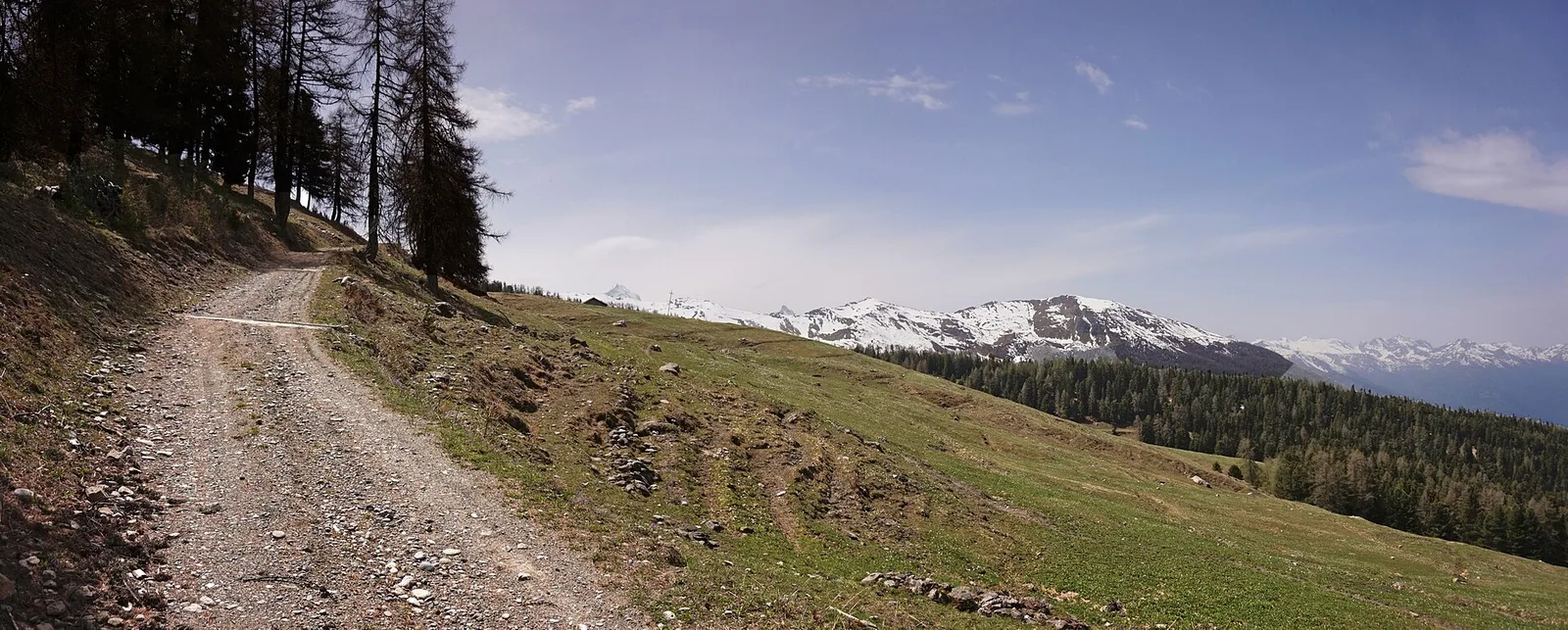
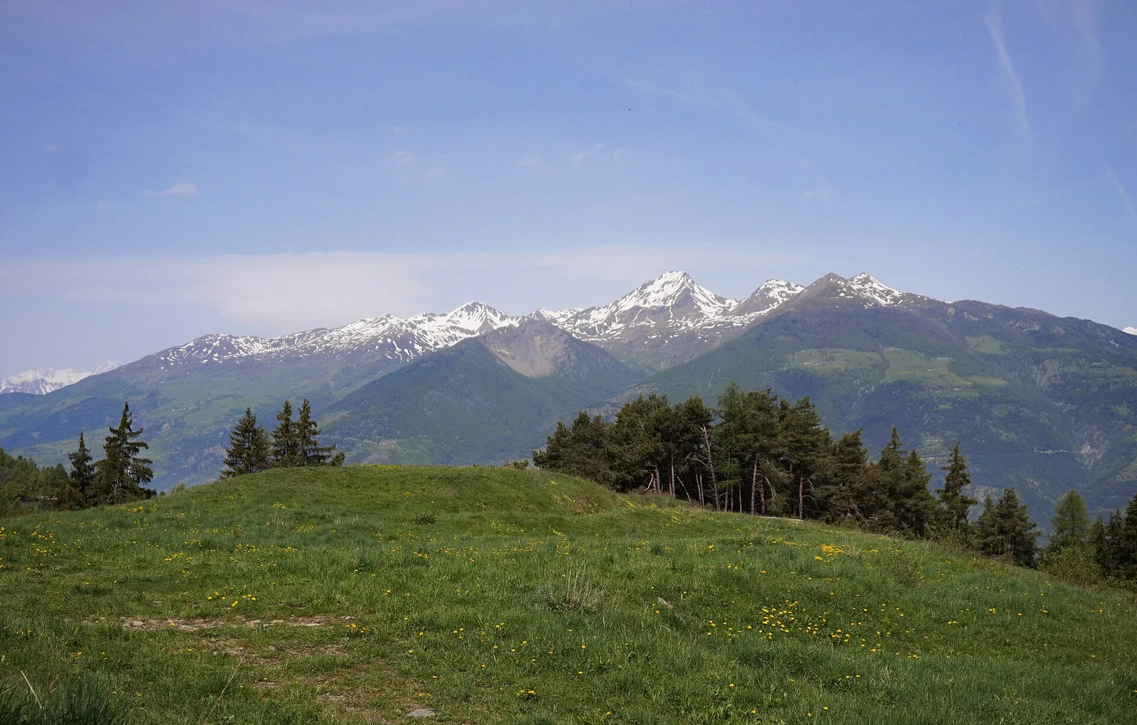
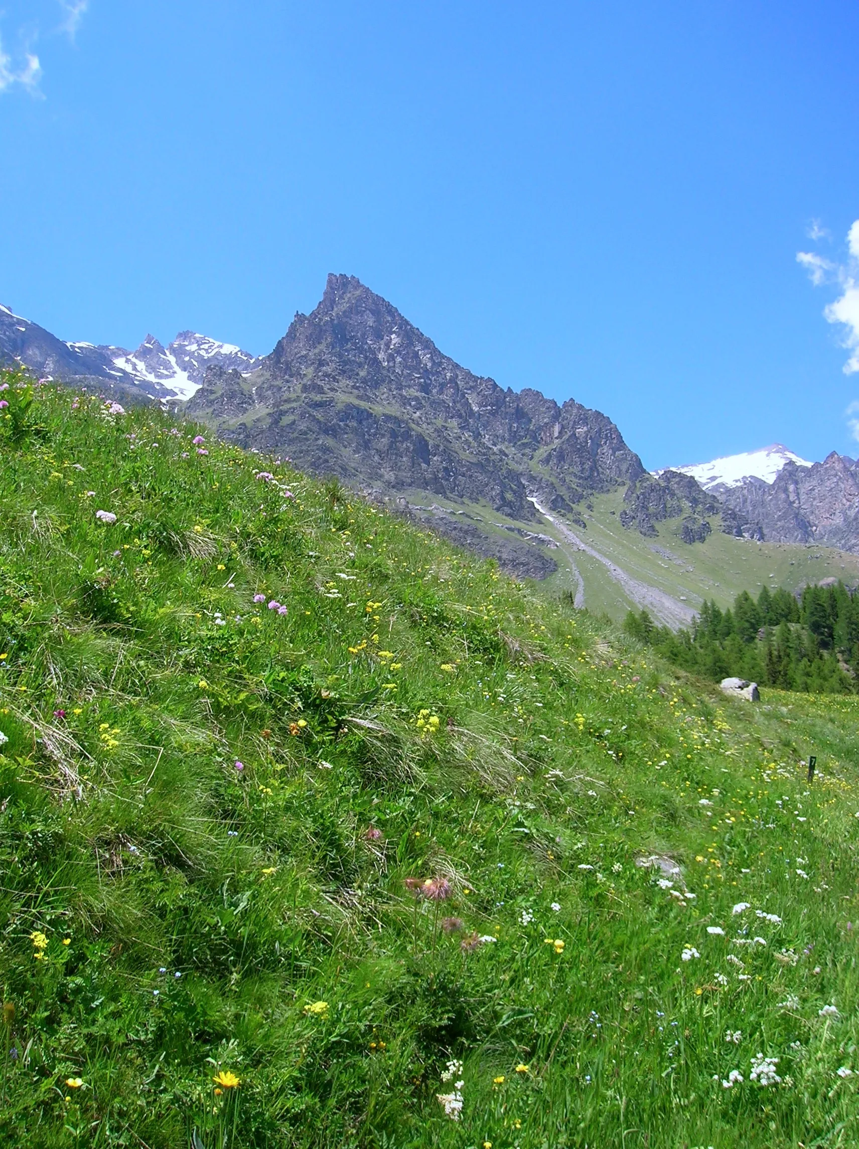
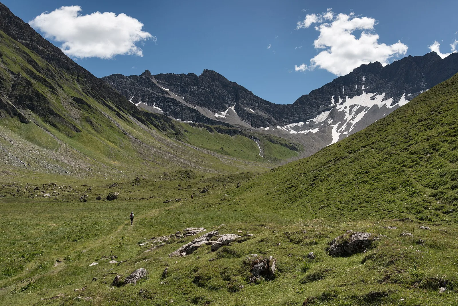
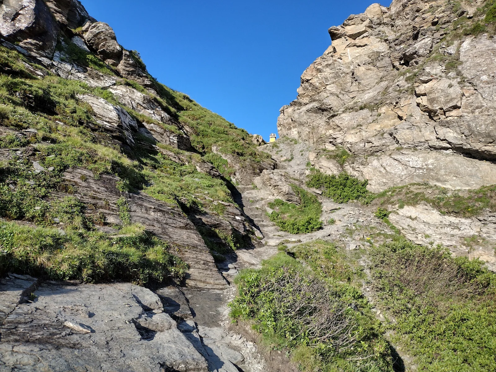
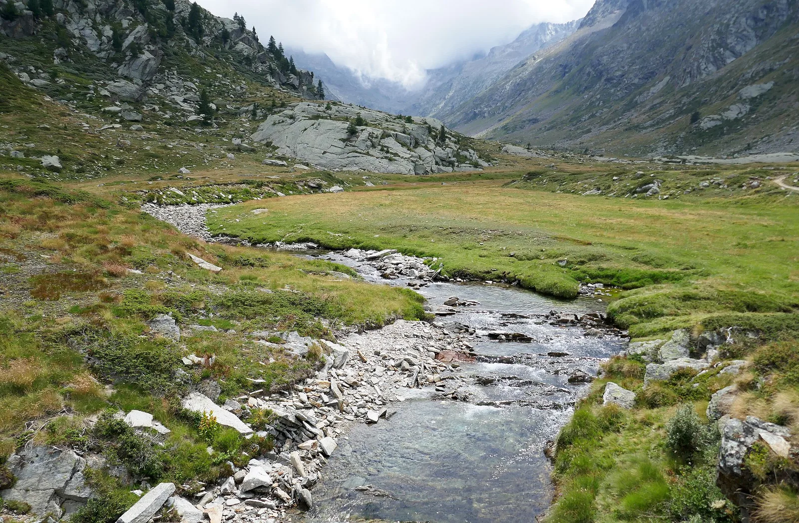
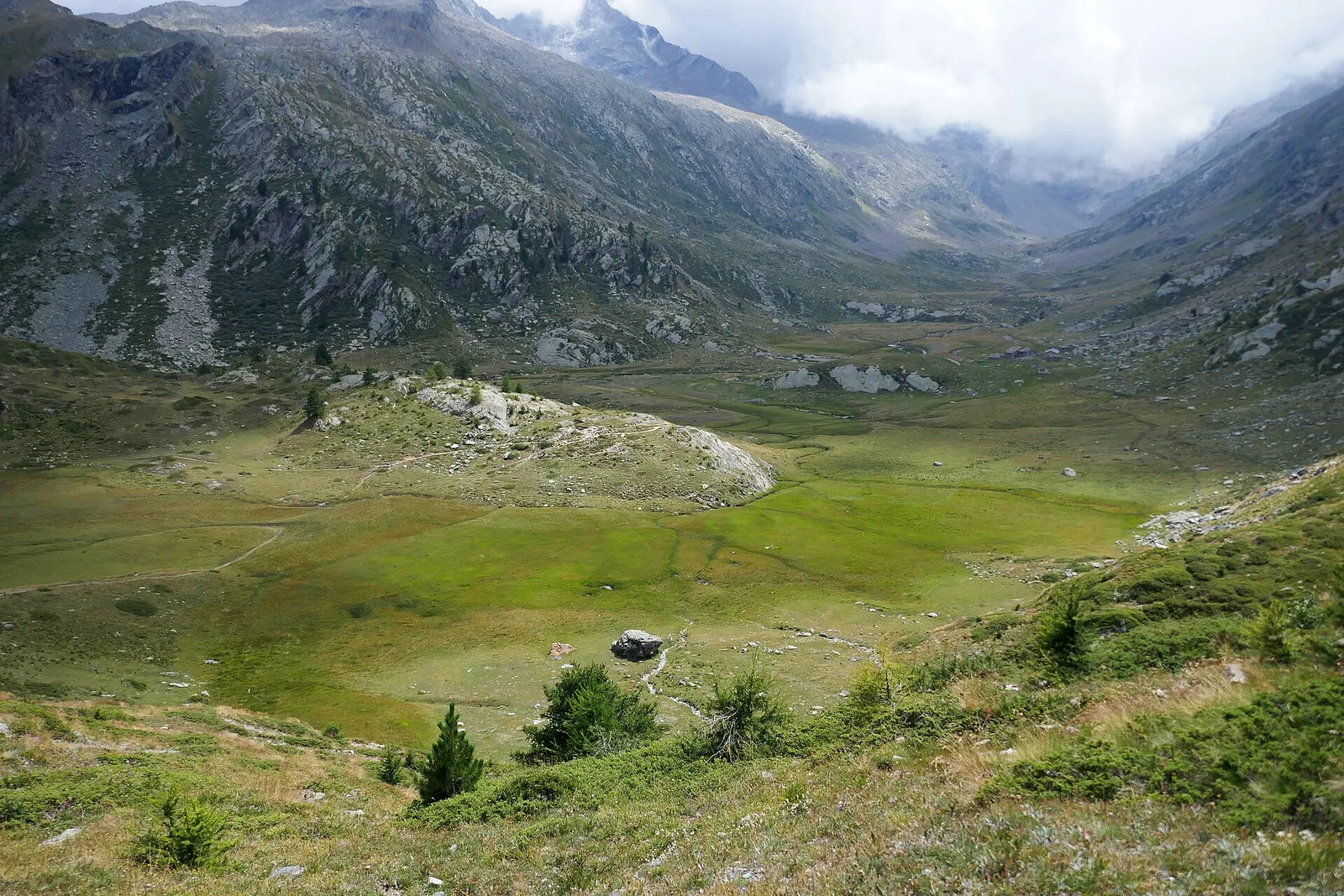
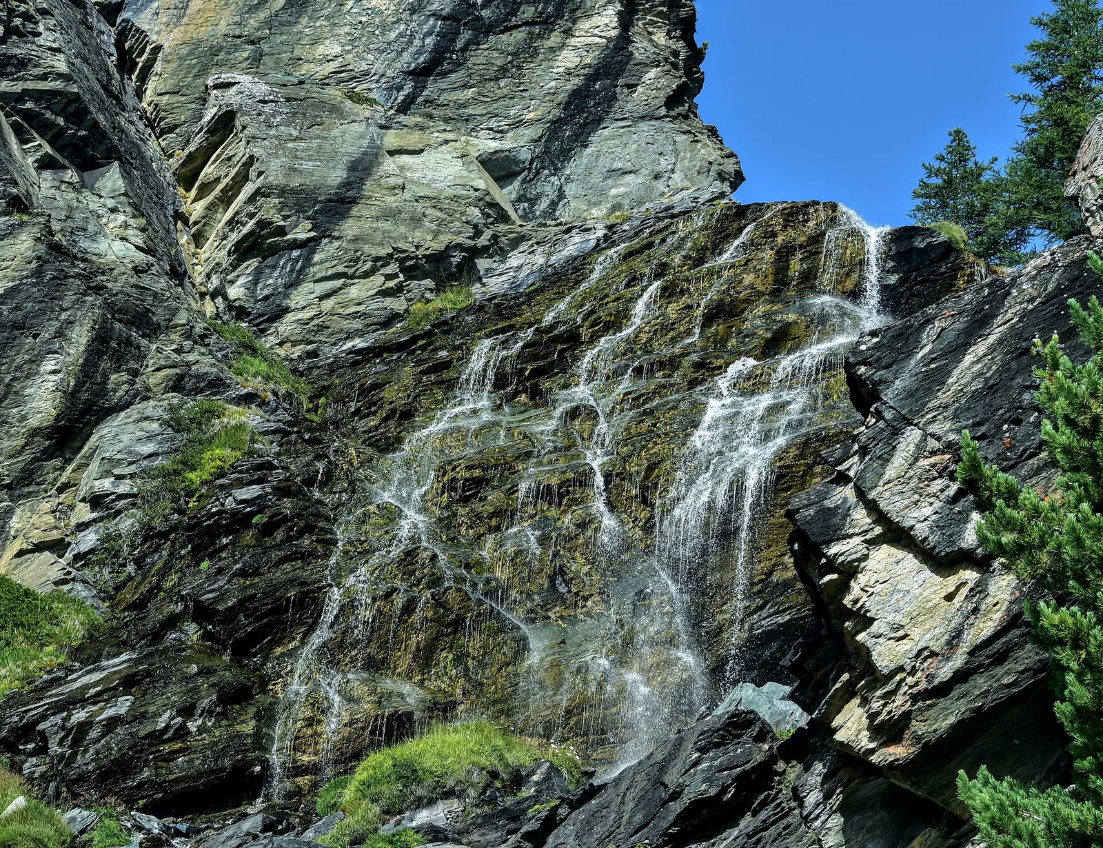
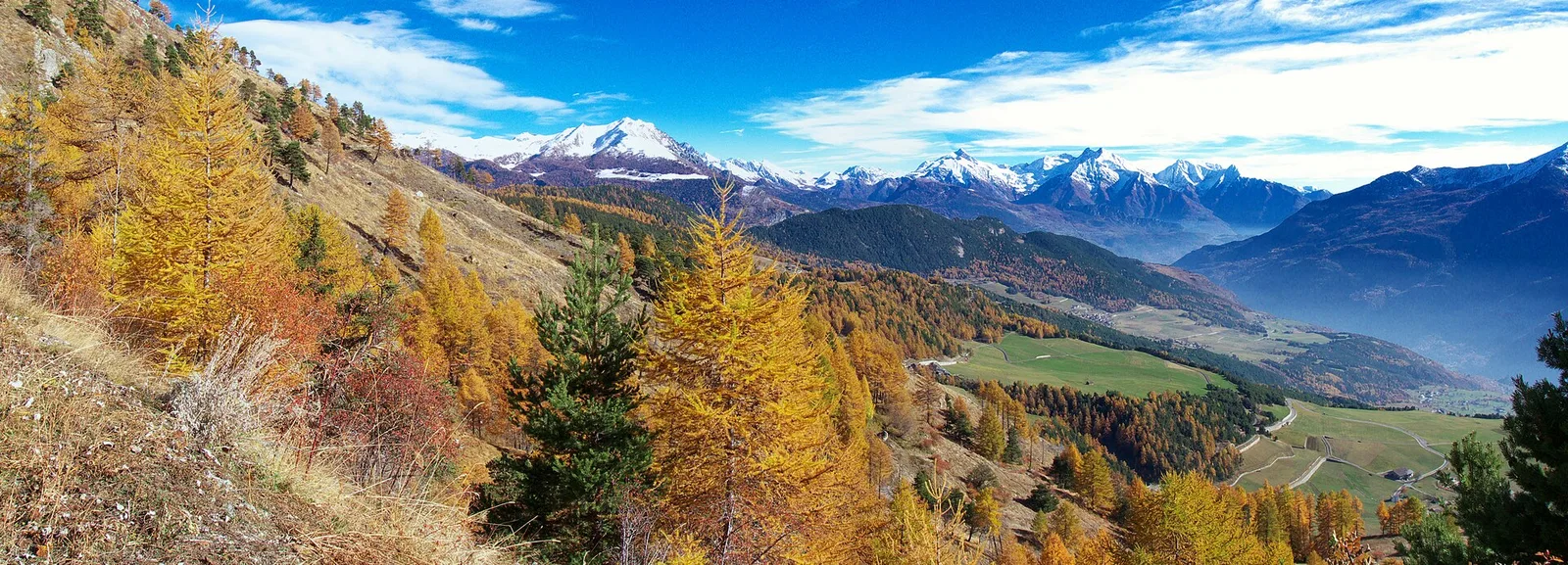
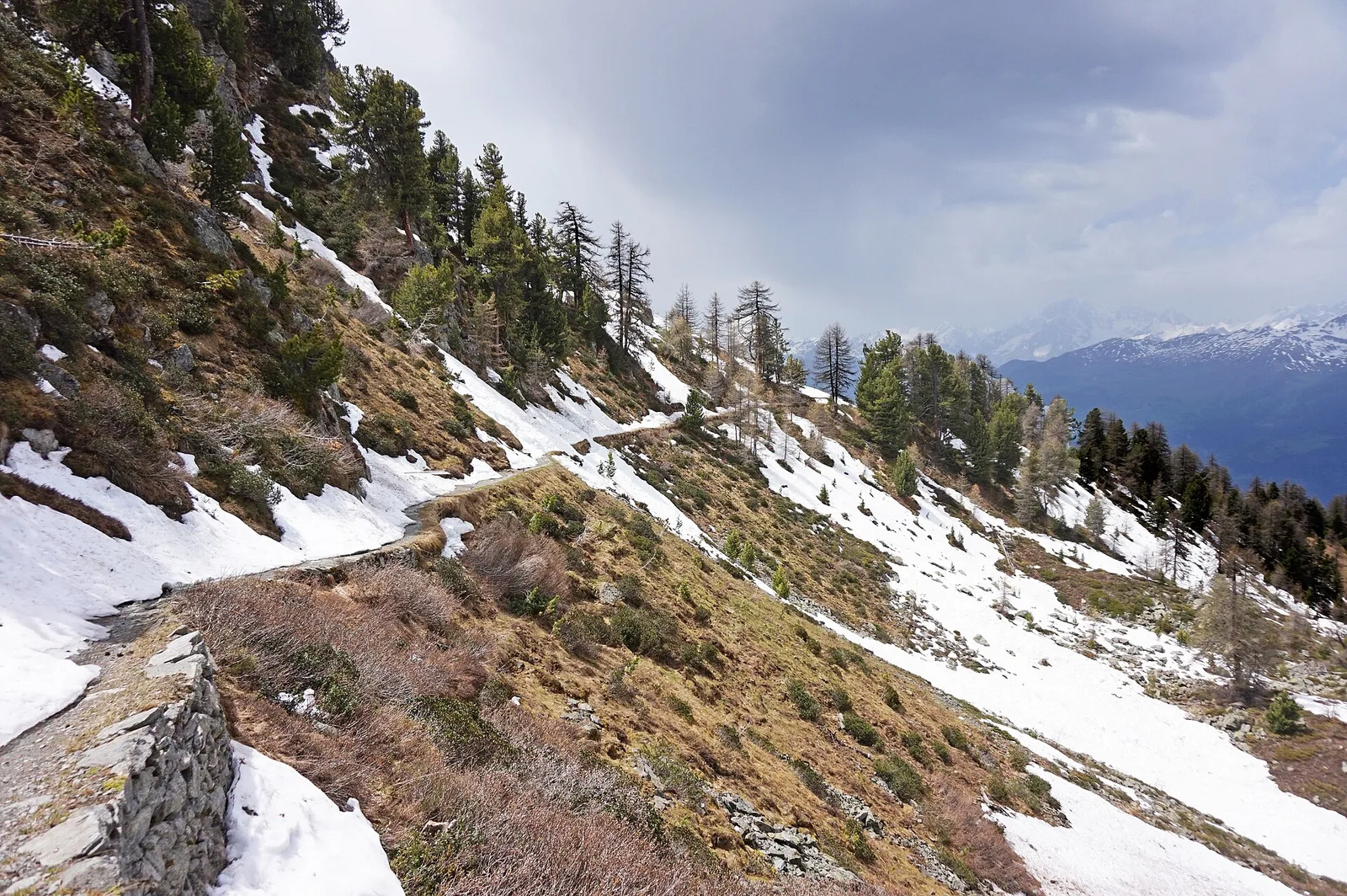
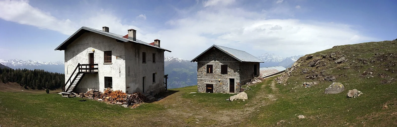
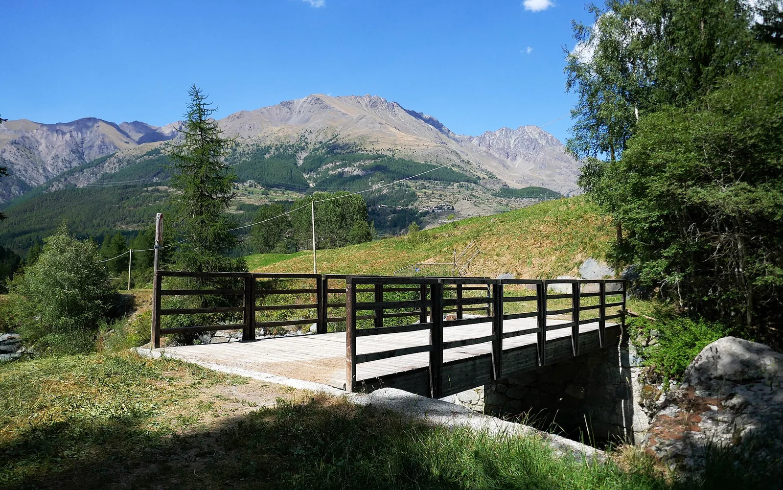
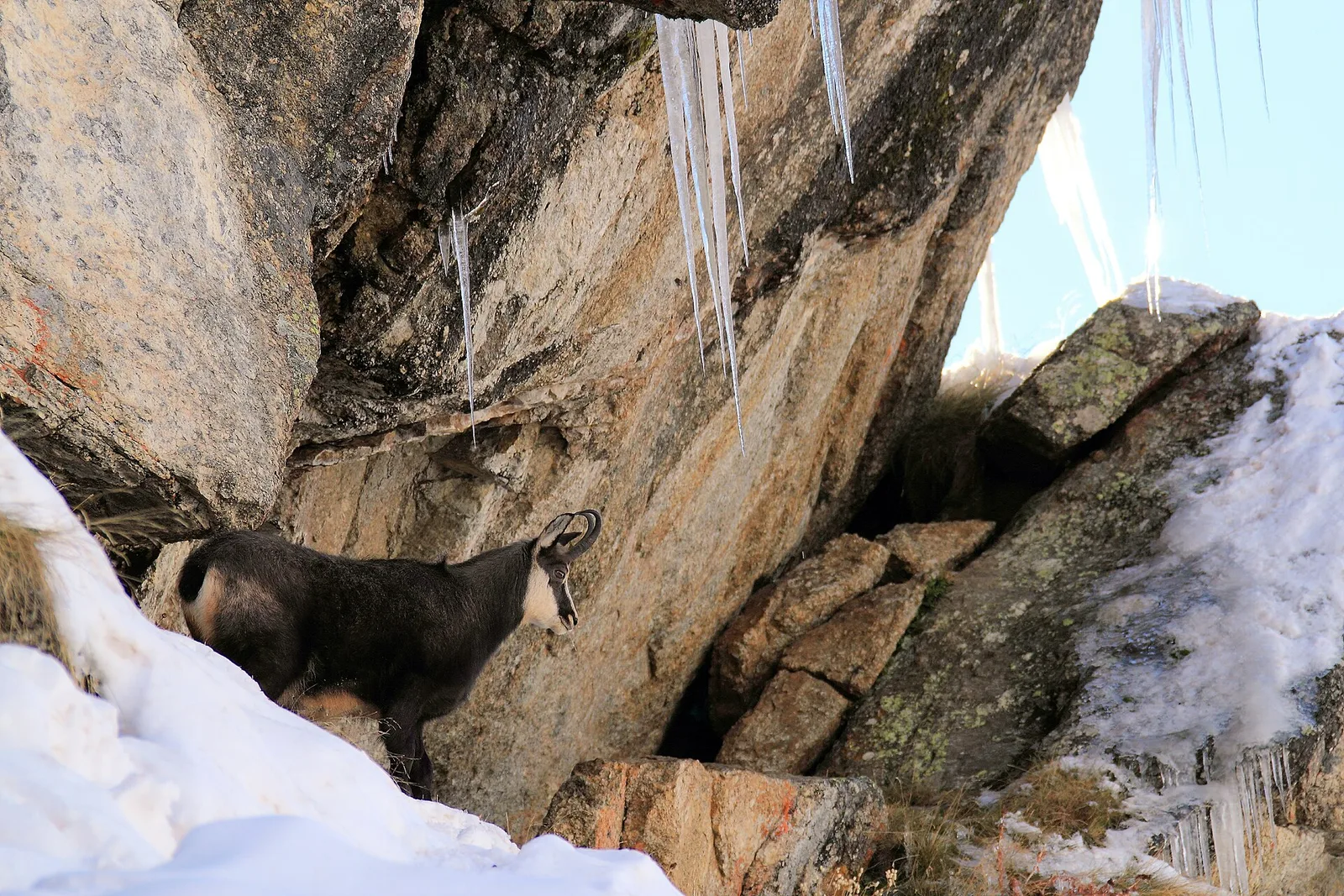
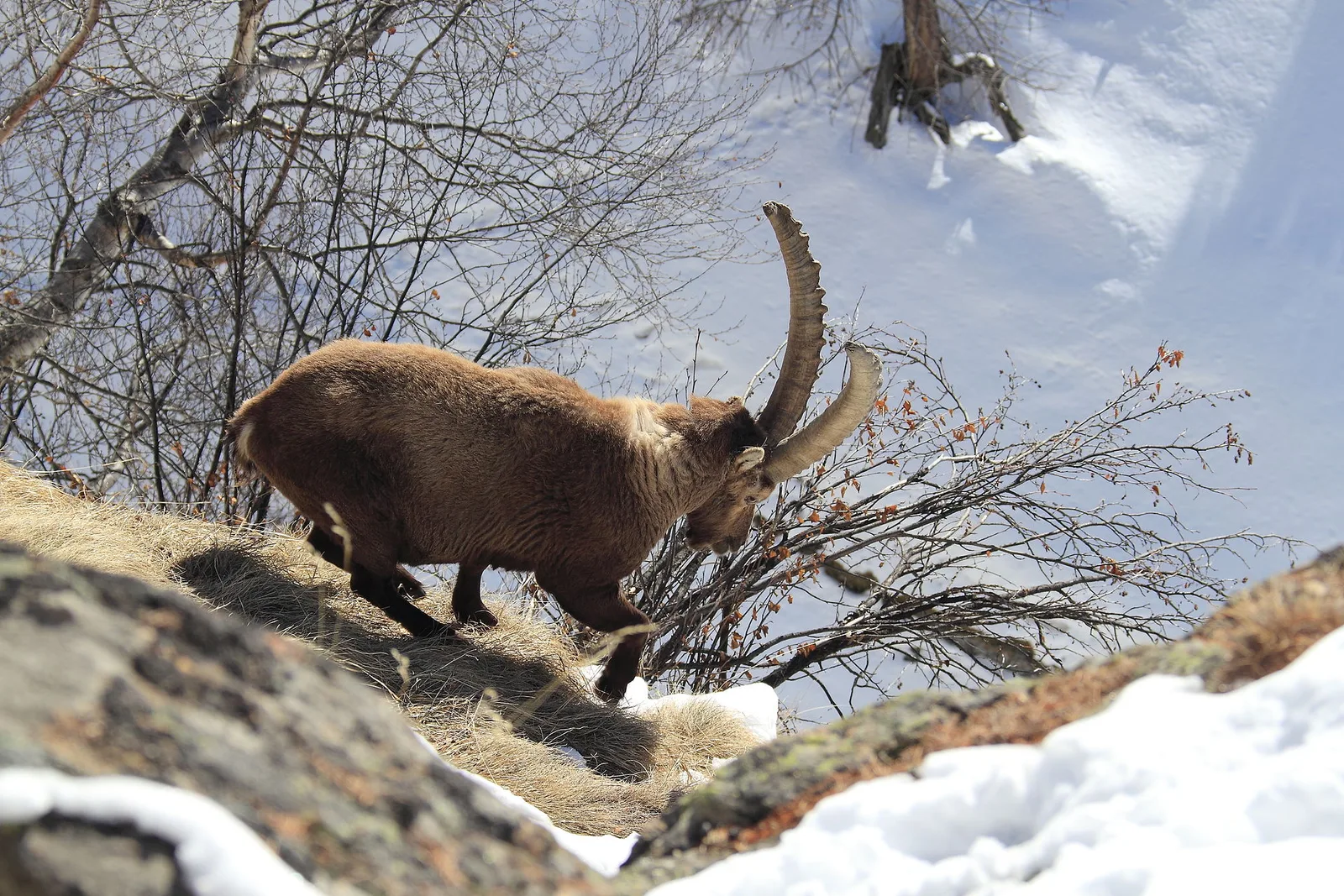
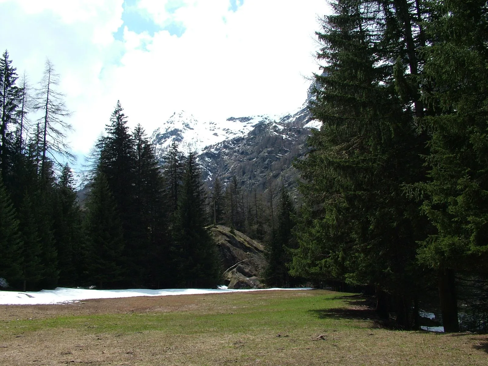
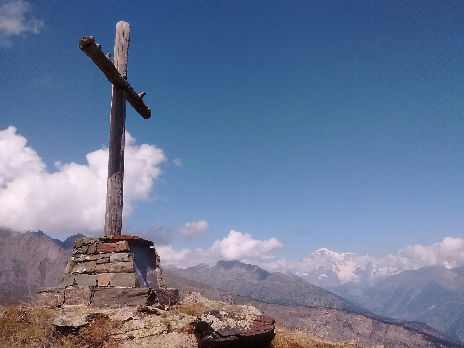
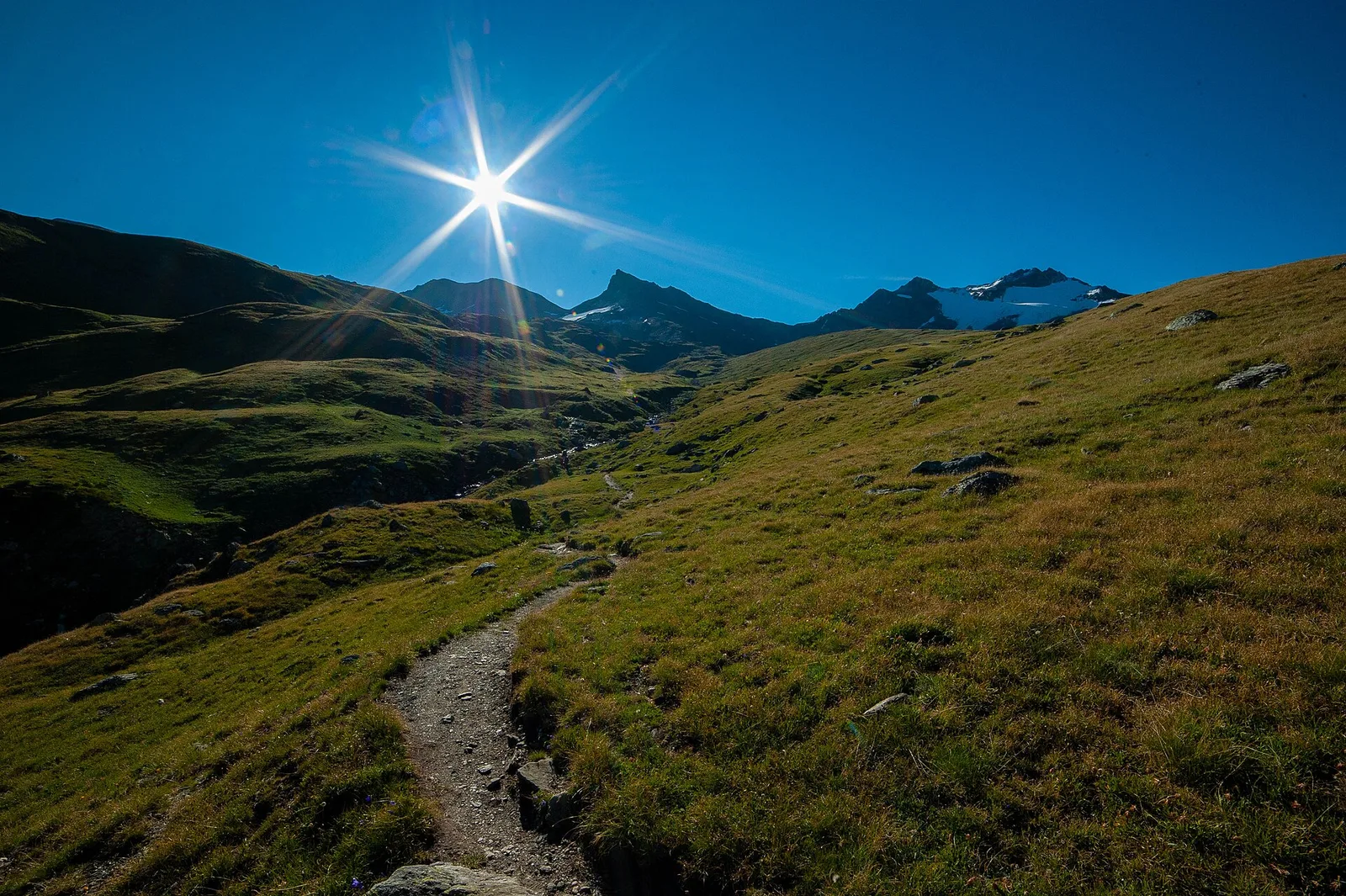
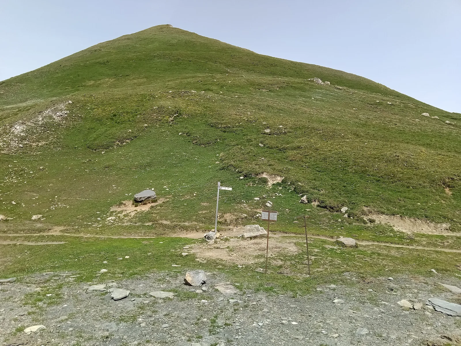
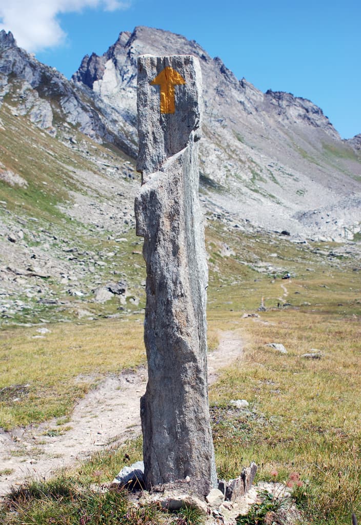
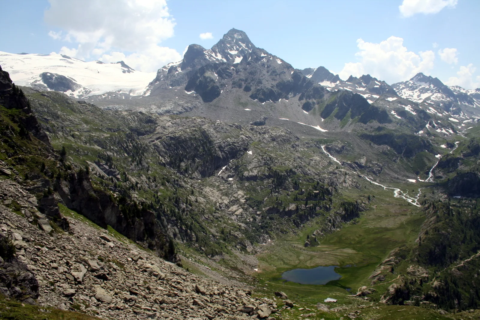
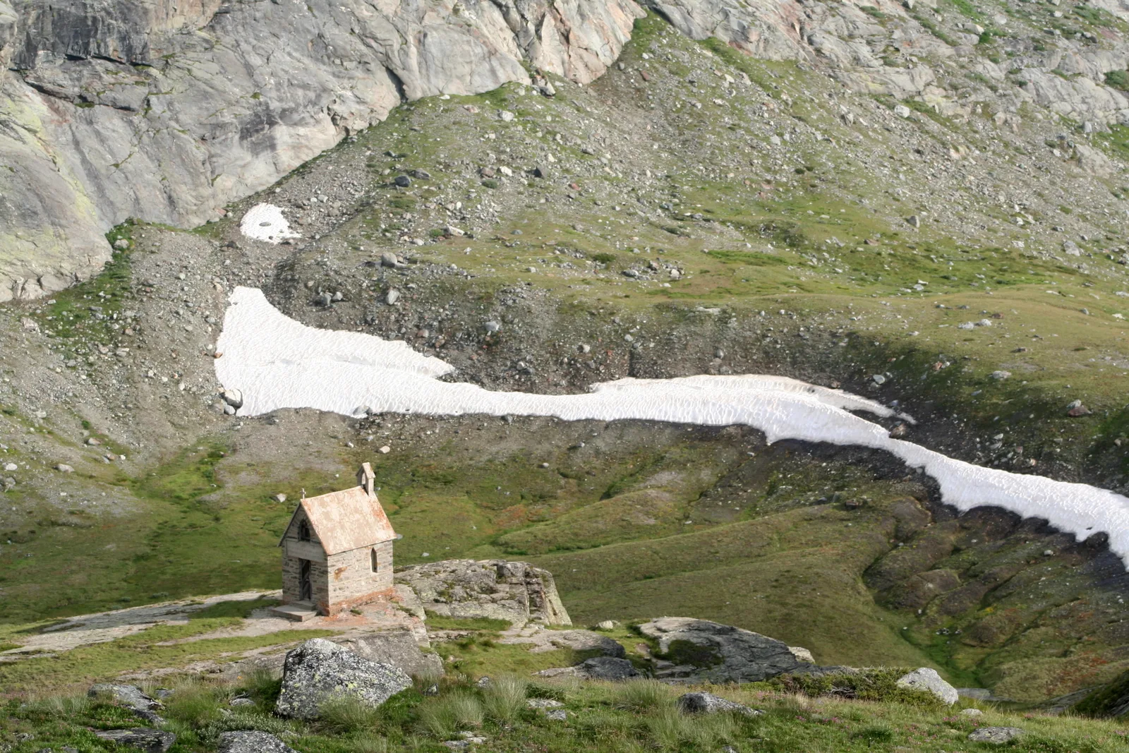
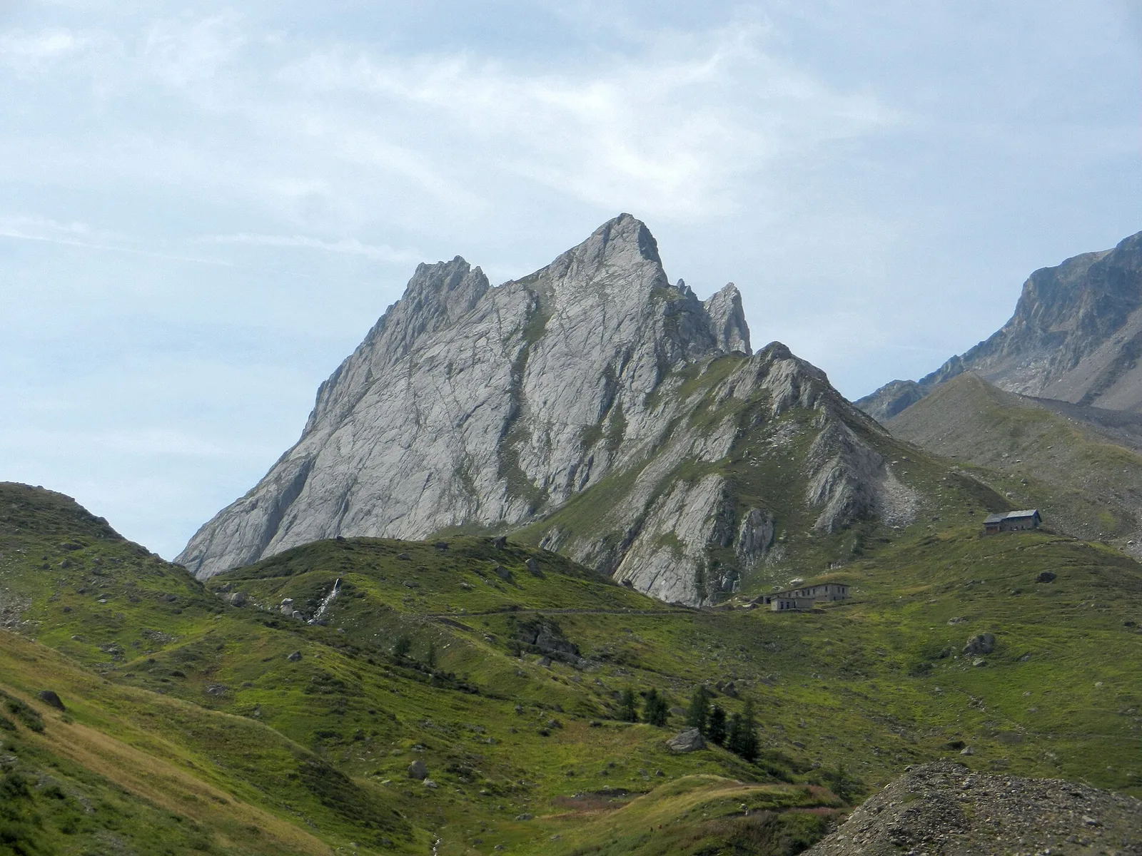
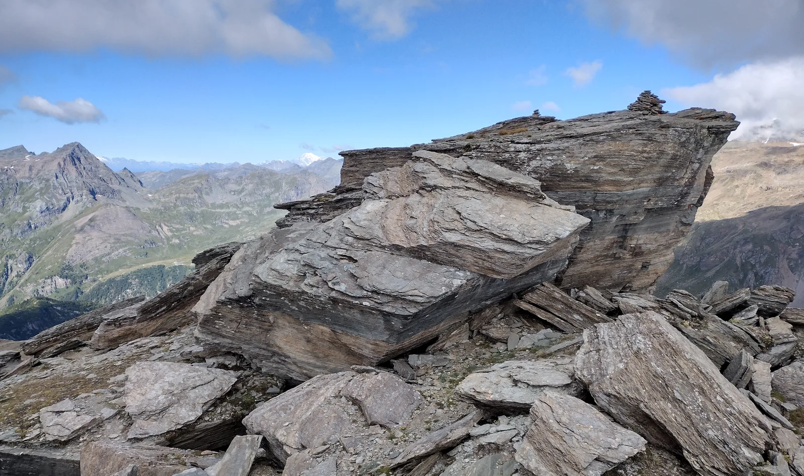
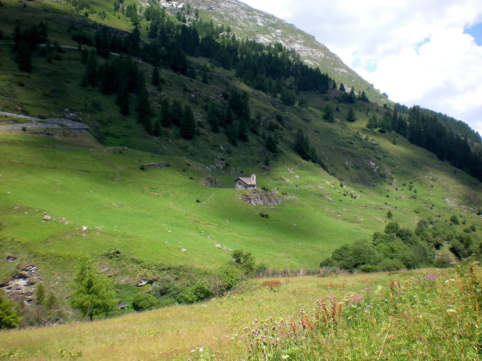
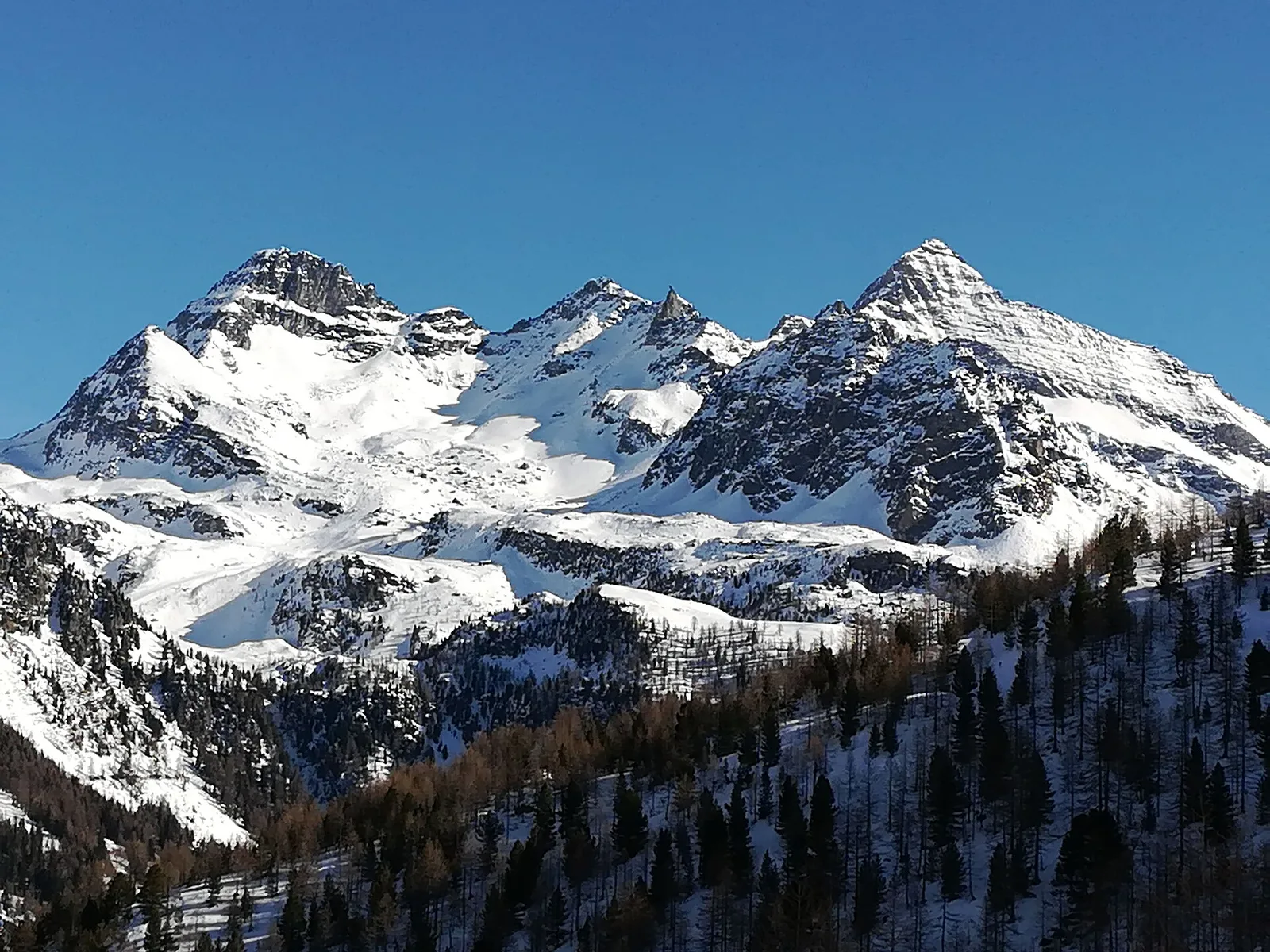
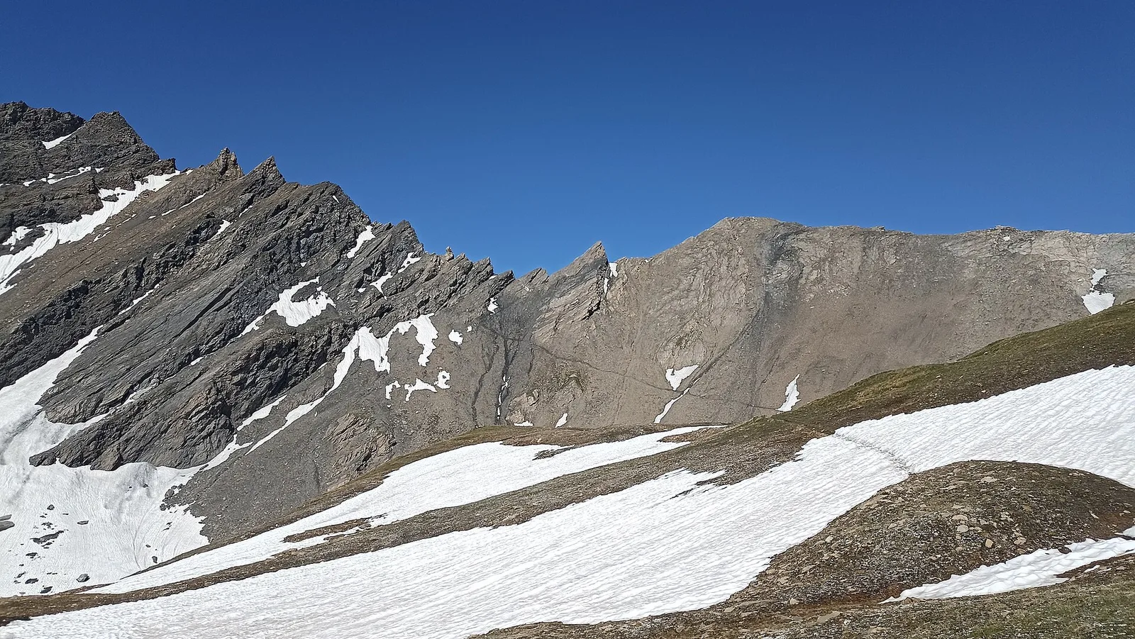
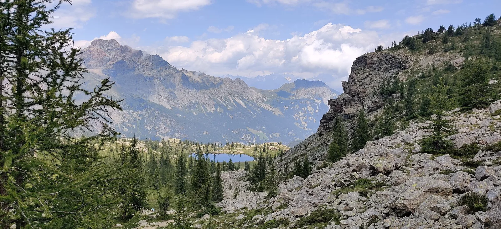
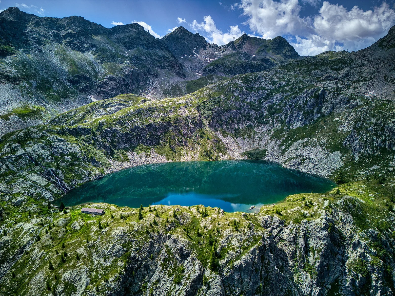
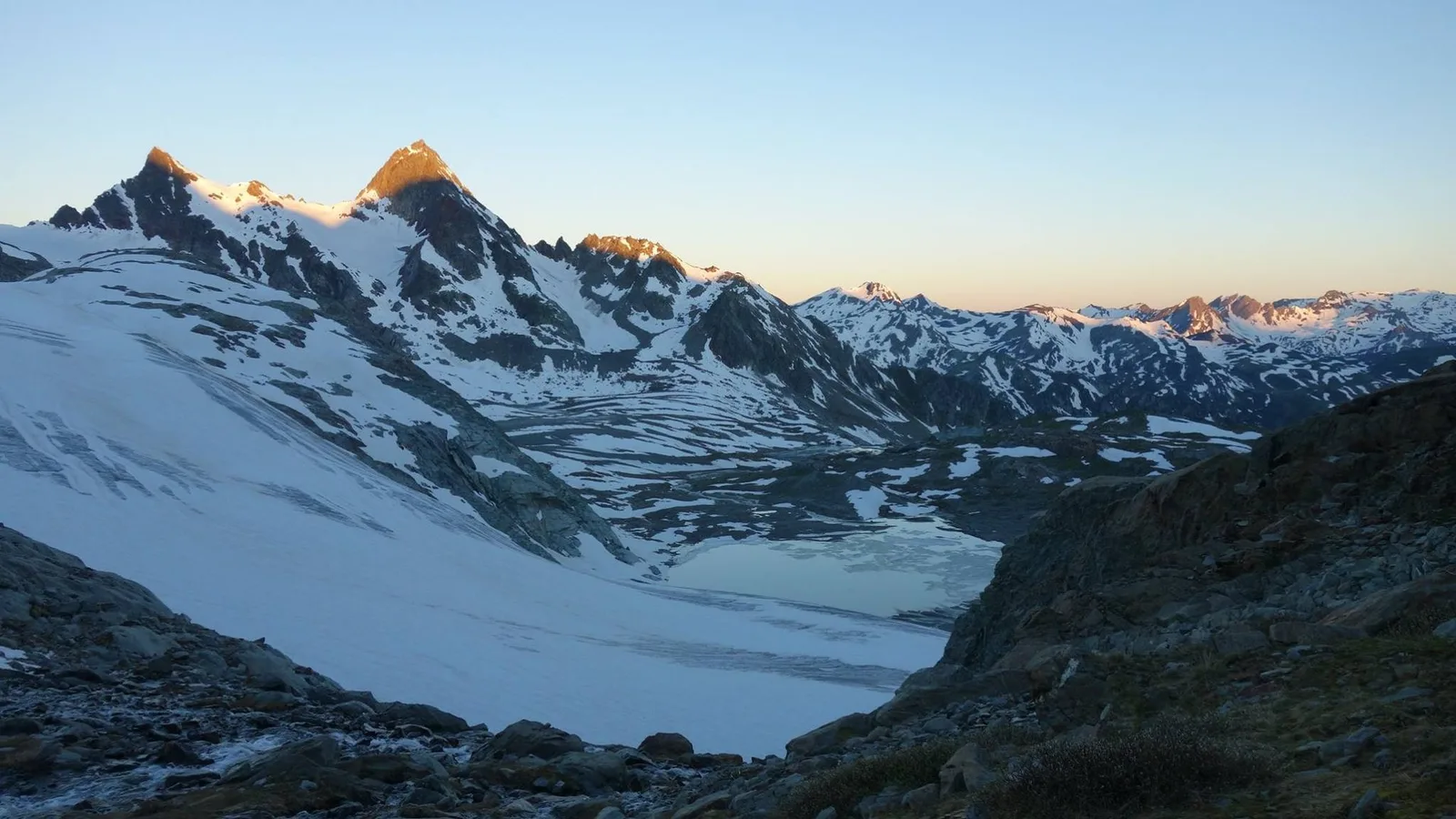
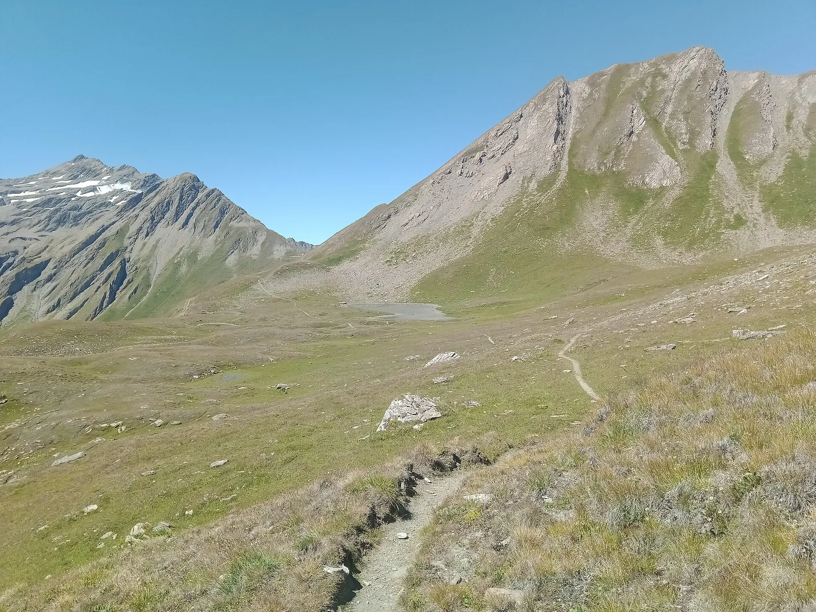
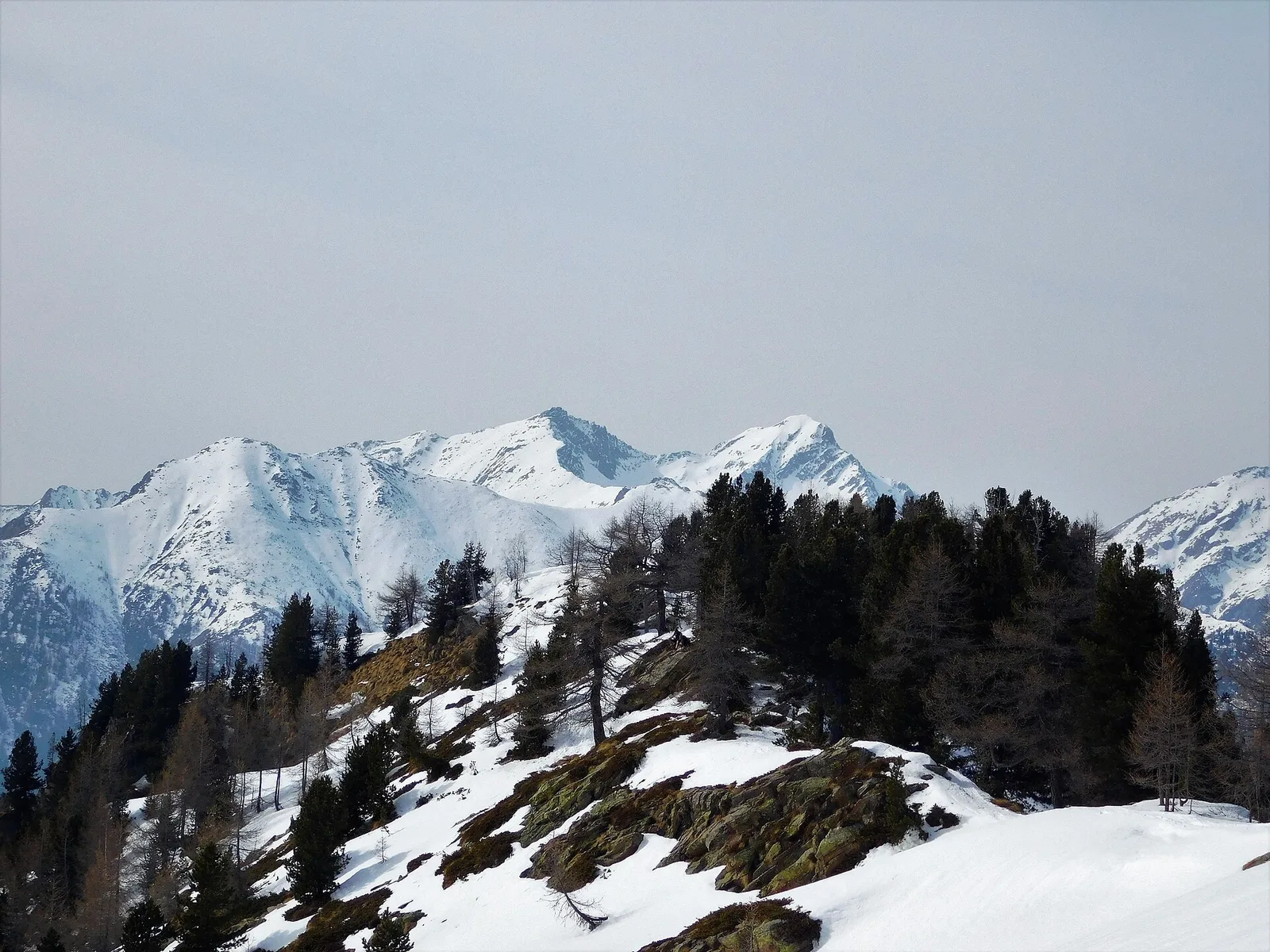
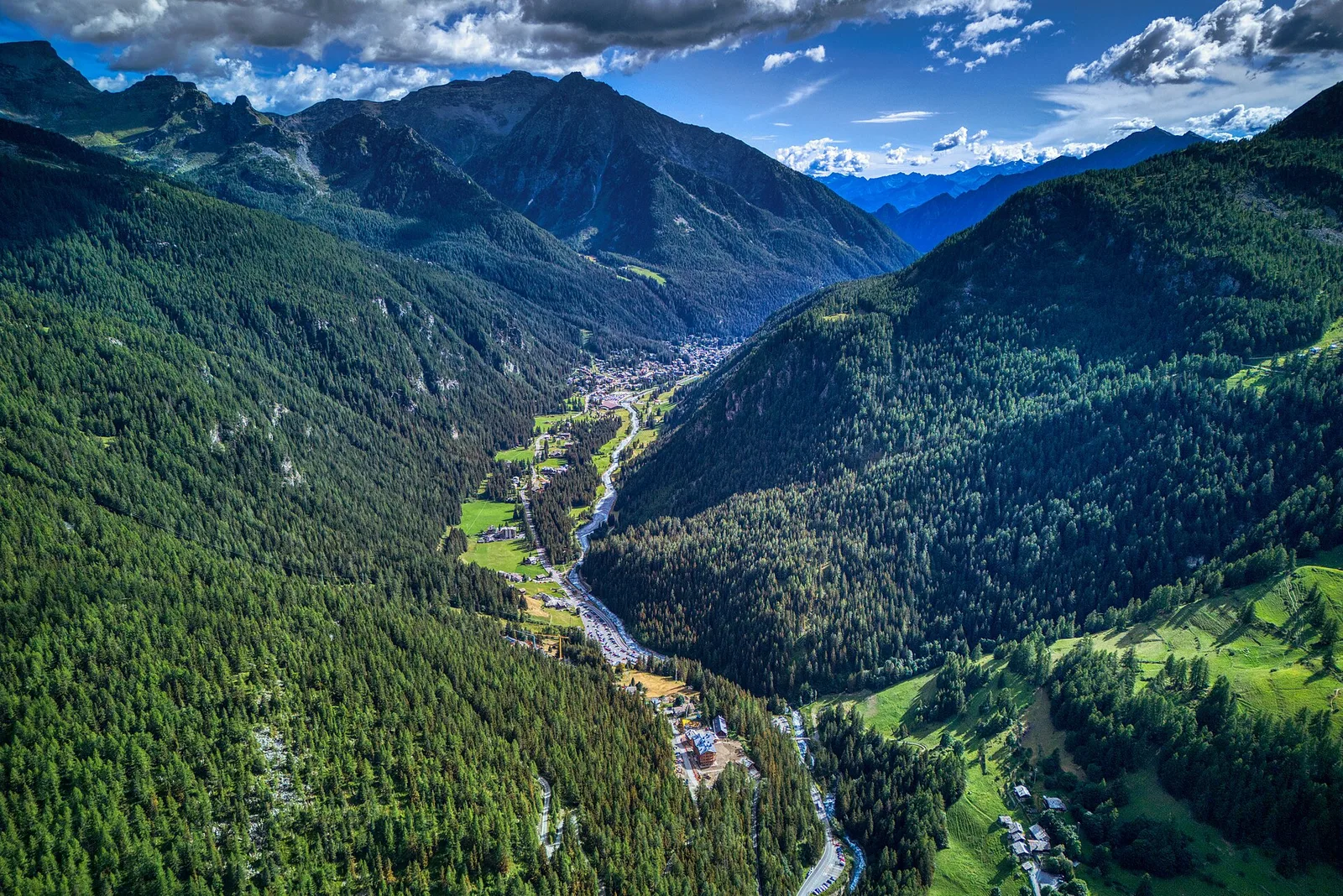
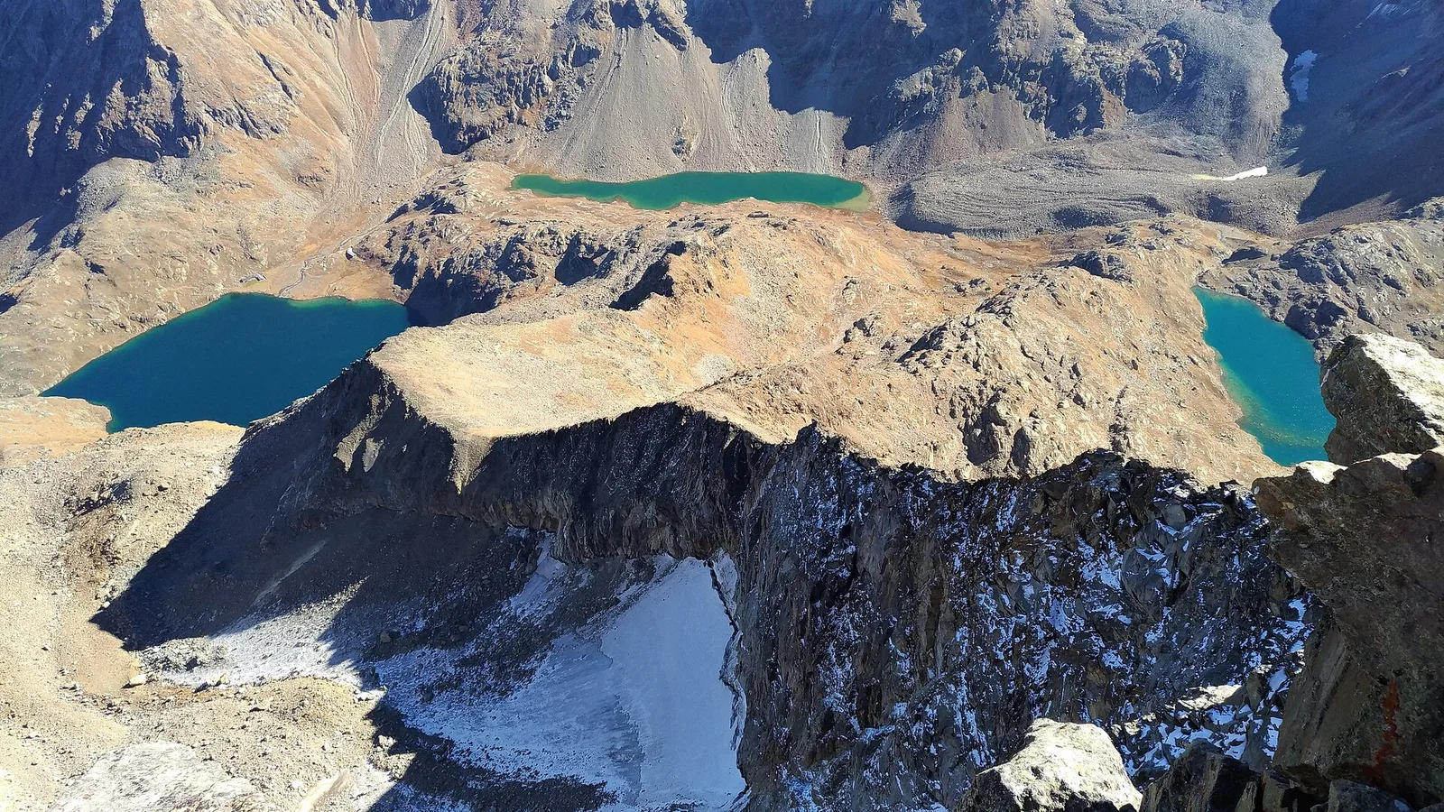
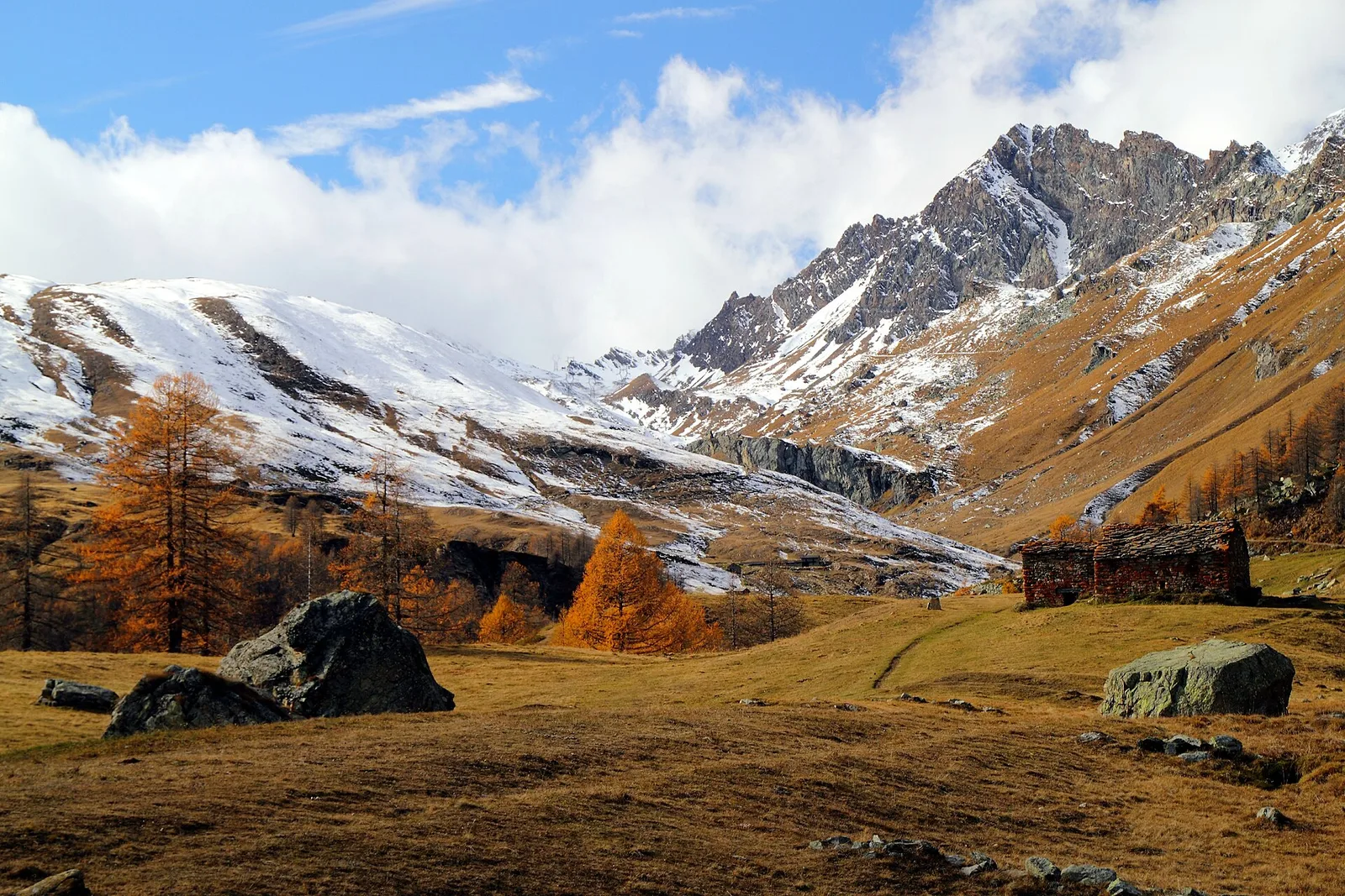
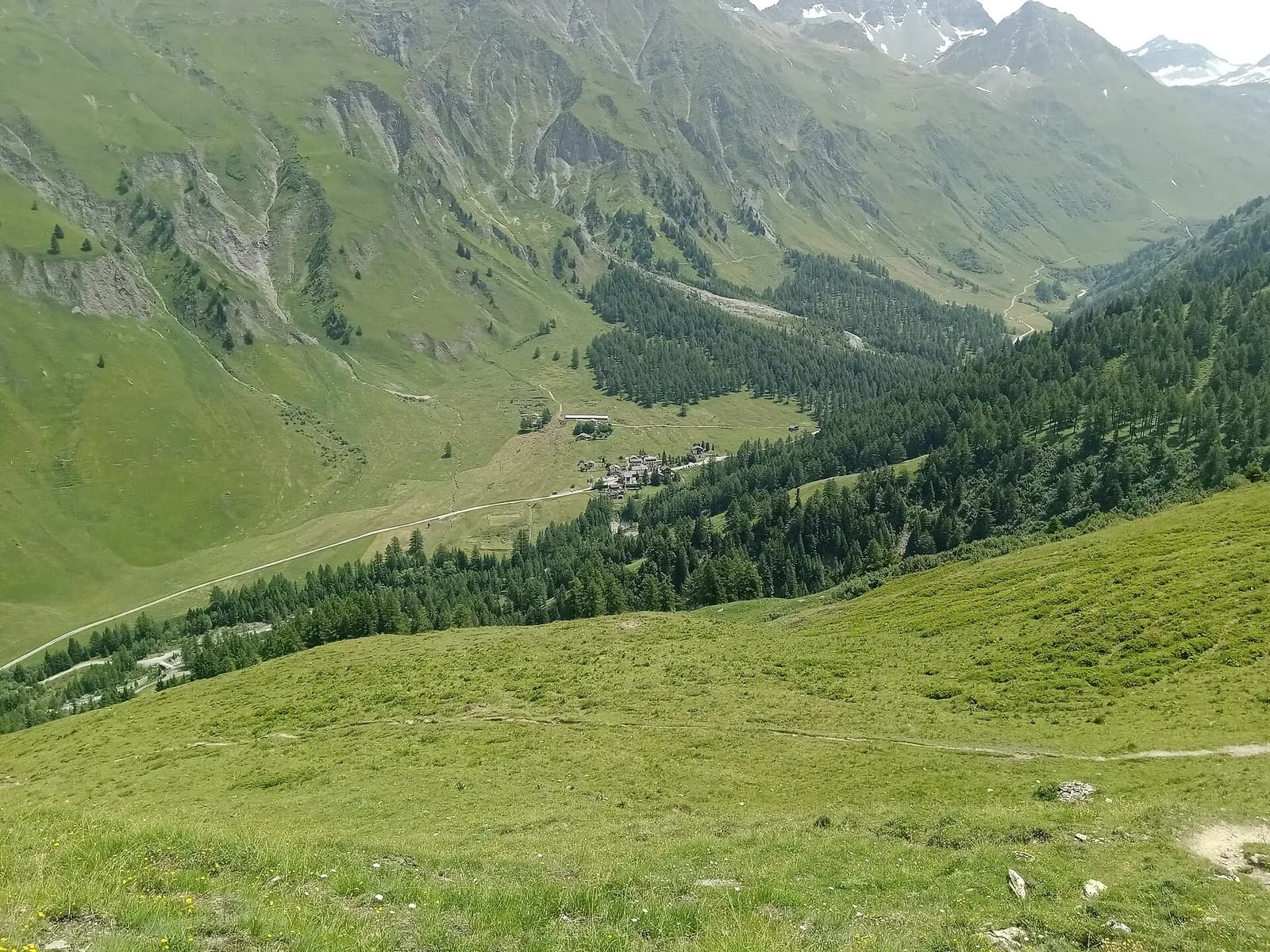
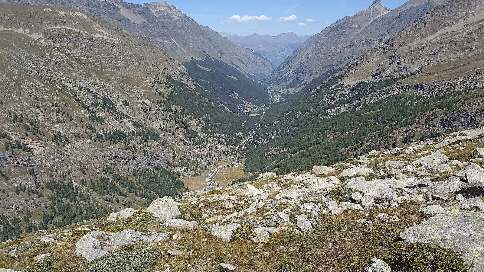
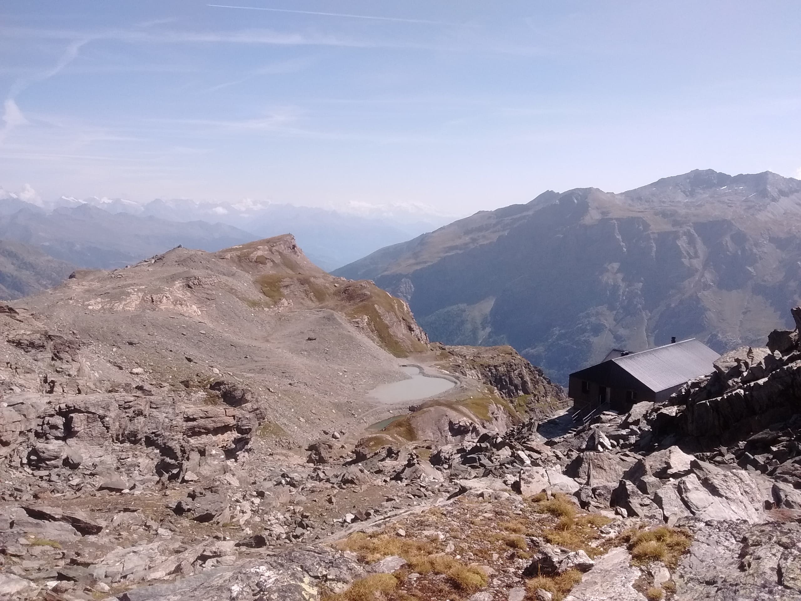
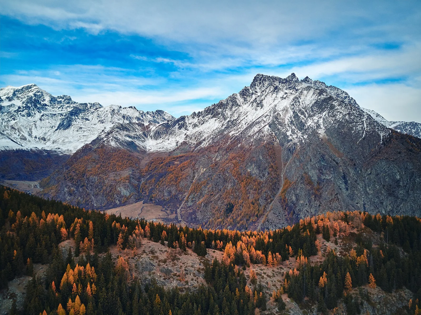
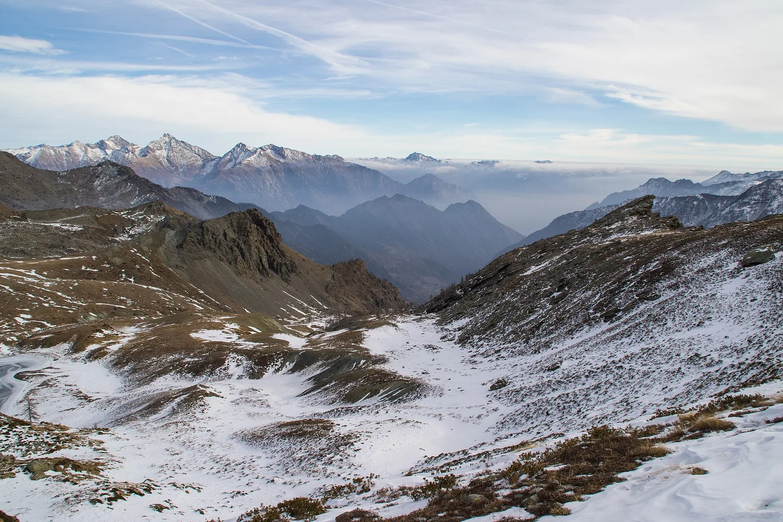
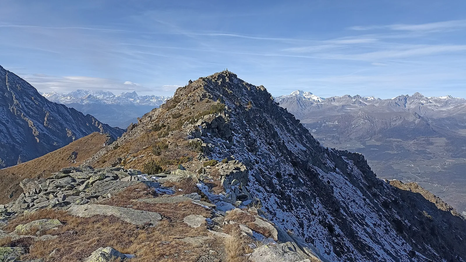
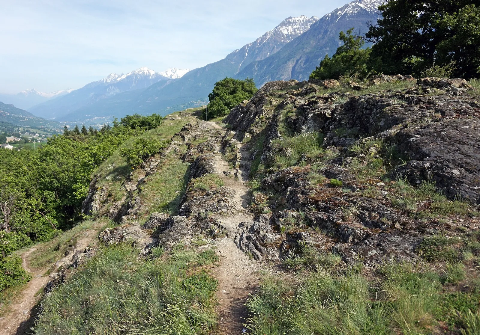
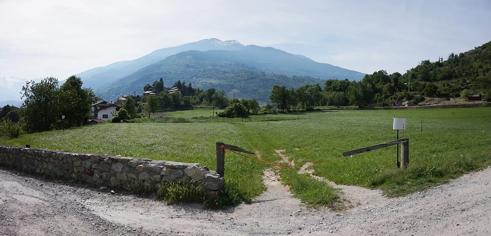
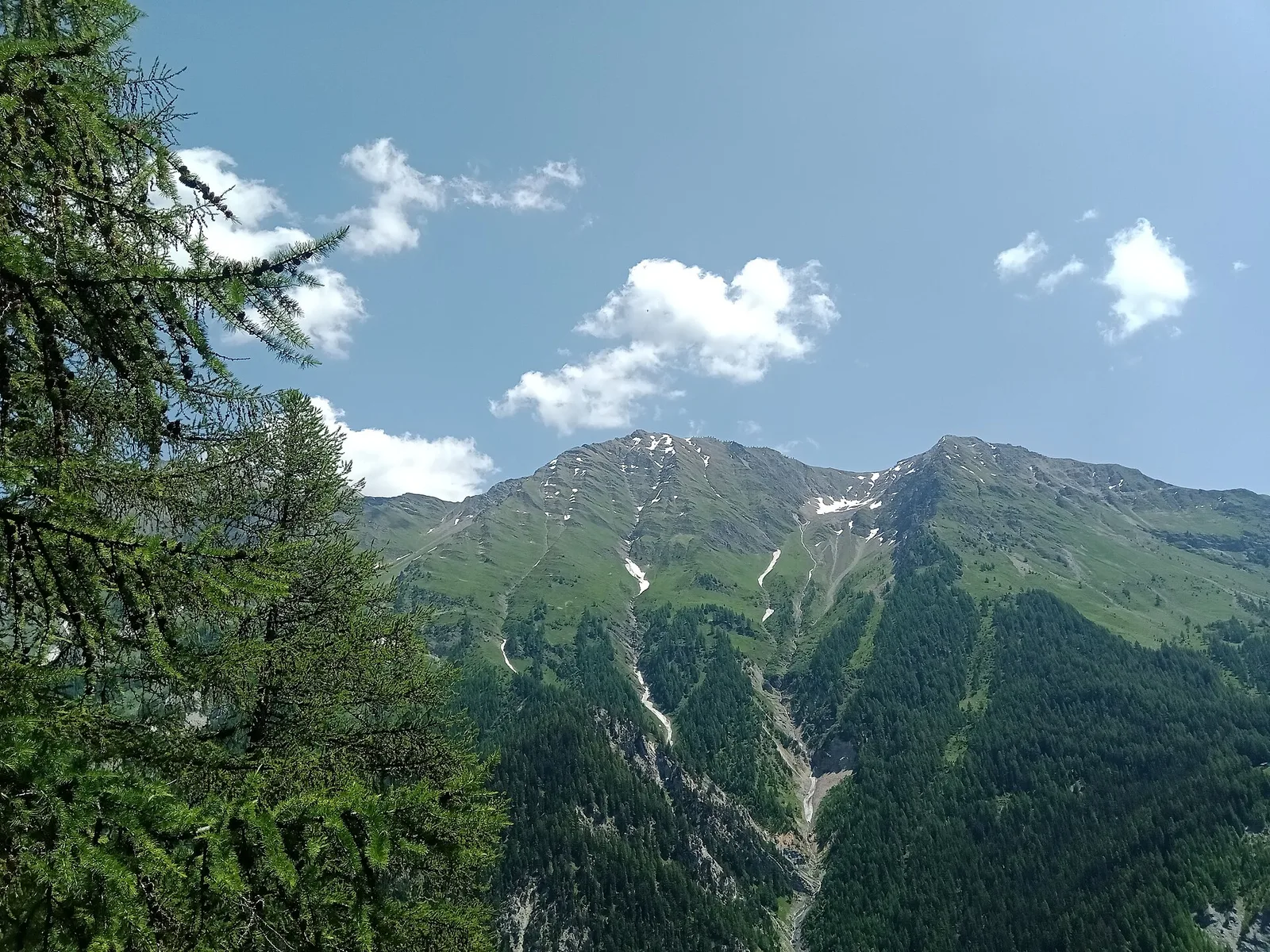
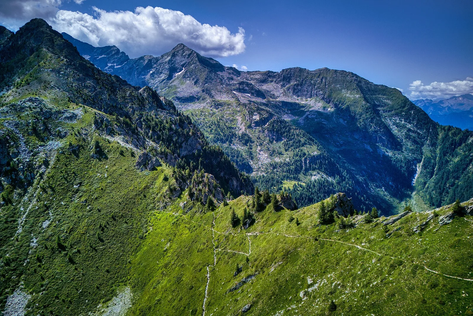
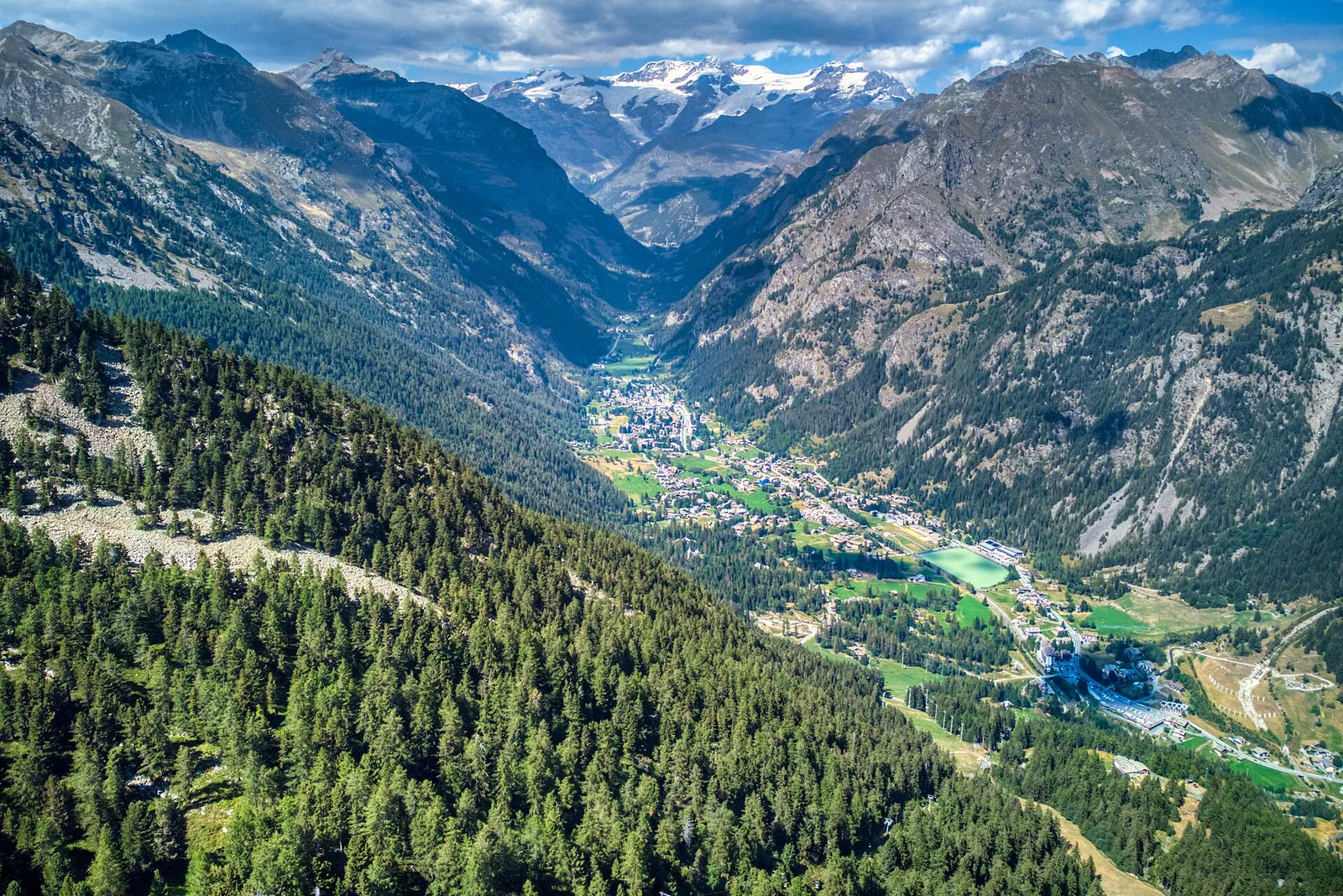
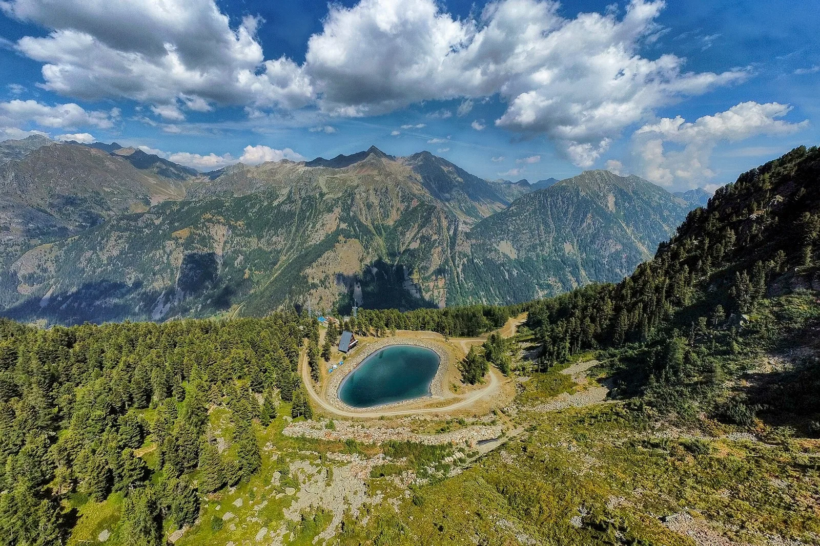
From Allein village, the climb to Mont Saron crosses forest, alpine pastures and a summit ridge on the watershed between Gran San Bernardo and Valpelline: 1434 m ascent for fit hikers.
7.5 km+1434 m5.5 h