Gressoney-la-Trinité - Colle Bettaforca
7.2 km
+1036 m
−0 m
4.5 h
Nível físico
Mapa e percurso
Traço GPX — verifique no terreno antes de caminhar
Descrição
Pontos-chave
Partida
Gressoney-la-Trinité · 1656 m
Chegada
Colle Bettaforca · 2673 m
Trilho
S24
One of the classic Gressoney hikes: from the basin of Gressoney-La-Trinité you climb at a steady gradient towards the Colle della Bettaforca (2,672 m), a grassy pass linking the Lys valley with the Ayas valley. The trail crosses the high alps of Ciaval and Bettlatz, still grazed in summer, while behind you the view widens over the Lys glaciers and the Lyskamm wall. From the pass, overlooked by the Monterosa Ski lifts, the eye ranges over Castor and the four-thousanders: it is the busiest pass on the Monte Rosa hiking circuit and a crossroads of shepherds for centuries.
Ciências da Terra
Geologia e paisagem
Geologically this is the heart of the Monte Rosa nappe: gneisses and granites of European continental crust, wrapped in the greenstones (serpentinites and prasinites) of the ancient Alpine ocean, today shaped by the Lys glaciers.
História e cultura
The valley is home to the Walser, Alemannic settlers who came down from Valais in the 13th century over the glacier passes of Monte Rosa: in Gressoney the Töitschu language, the timber-and-stone houses (stadel) and the German place names that dot the mountain still survive.
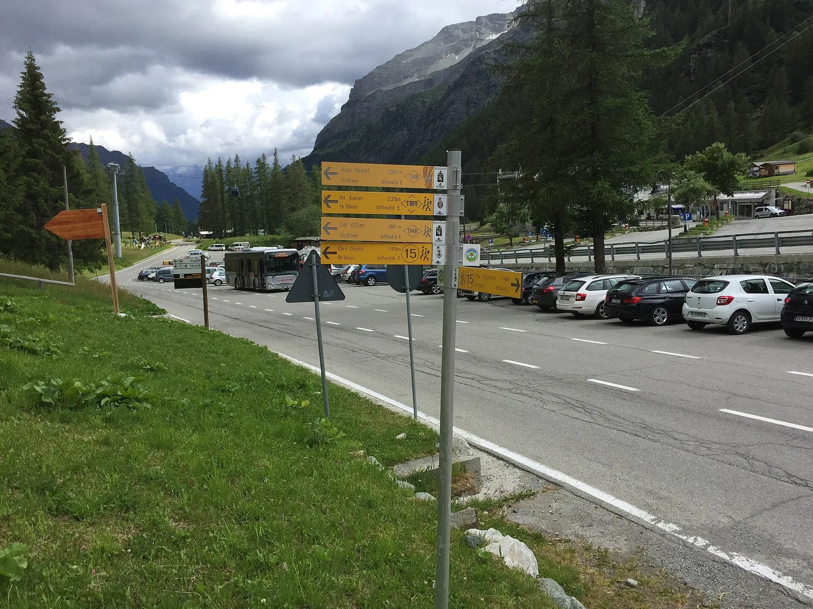
Estacionamento
Galeria de fotos
Photos are published immediately. JPG/PNG/WebP, max 6 MB.
Fauna para observar
AEditado e verificado por Andrea Rama
Fonte dos dados: Catasto Sentieri Regione Autonoma VdA · Open data — DGR 899/2014
Última verificação:
Valle del Lys
Trilhos relacionados
Mesmo vale ou percursos semelhantes — mais caminhadas para descobrir.

Valle del Lys
Anello dei Gemelli della Mologna
8.9 km · +996 m · EEA — from Niel to Niel (Great St Bernard Valley).

Valle del Lys
Balmeto - Leck Albezò
1.2 km · +287 m · E — from Balmeto to Leck Albezò (Champorcher Valley).

Valle del Lys
Bino - Passo di Valnera
4.5 km · +1280 m · E — from Bino to Alpe Jatza (Champorcher Valley).

Valle del Lys
Cascate di Niel
0.6 km · +80 m · E — from Start 7B to Cascate di Niel (Great St Bernard Valley).