Tour del Belvedere (basso): Rey - Ru du Mont - Galleria - Belvedere - Chatellair-Dessus
3.8 km
+78 m
−0 m
1 h
Nível físico
Mapa e percurso
Traço GPX — verifique no terreno antes de caminhar
Descrição
Pontos-chave
Partida
Rey · 1380 m
Chegada
Chatellair-Dessus · 1458 m
Trilho
S2
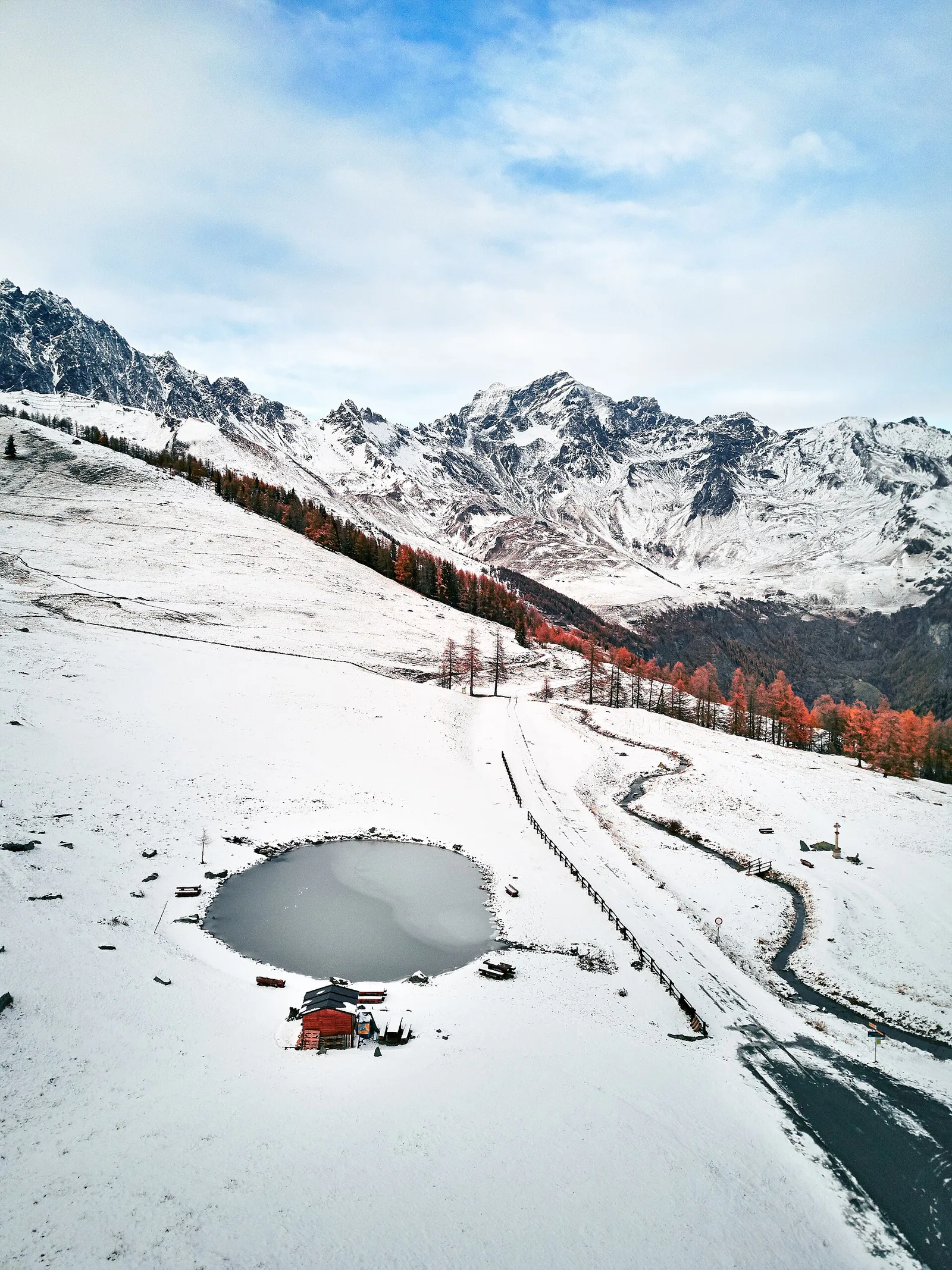
Tour del Belvedere (basso): Rey - Ru du Mont - Galleria - Belvedere - Chatellair-Dessus is an official trail from the Aosta Valley trail registry (code 46_S2). The route lies in the municipality of Oyace, in the Valpelline. From Rey (1380 m) to Chatellair-Dessus (1458 m): 3.8 km with +78 m of elevation change, difficulty E (CAI scale). Minimum elevation 1380 m, maximum 1458 m. Recommended season per registry: Maggio- ottobre (months 5, 6, 7, 8, 9, 10). Waymarking: 1 segnavia recorded in the registry. GPX track and elevation data from Regione Autonoma Valle d'Aosta (open data DGR 899/2014).
Estacionamento
Galeria de fotos
Photos are published immediately. JPG/PNG/WebP, max 6 MB.
Flora do trilho
AEditado e verificado por Andrea Rama
Fonte dos dados: Catasto Sentieri Regione Autonoma VdA · Open data — DGR 899/2014
Última verificação:
Valpelline
Trilhos relacionados
Mesmo vale ou percursos semelhantes — mais caminhadas para descobrir.

Valpelline
Bionaz (Plan Praz) - Place Moulin
Upper Valpelline, Bionaz: an E-rated route toward a glacial objective over open terrain.

Valpelline
Chamin - Bivacco della Sassa
From Chamin (1,732 m) to the Bivacco della Sassa (2,964 m) in the quiet Valpelline: 7.1 km and 1,246 m of ascent.

Valpelline
Champillon - Rifugio Letey - Col Champillon
3.1 km · +643 m · E — from Champillon to Col Champillon (Valtournenche).

Valpelline
Chanté - Mont Saron
From Allein toward Valpelline across the panoramic ridge between the two valleys: an E-rated route over open pastures with views of the Gran San Bernardo.