Bionaz (Plan Praz) - Place Moulin

11 km
+698 m
−0 m
4.5 h
Nível físico
Mapa e percurso
Traço GPX — verifique no terreno antes de caminhar
Descrição
Pontos-chave
Partida
Bionaz (Plan Praz) · 1495 m
Chegada
Place Moulin · 2011 m
Trilho
S24
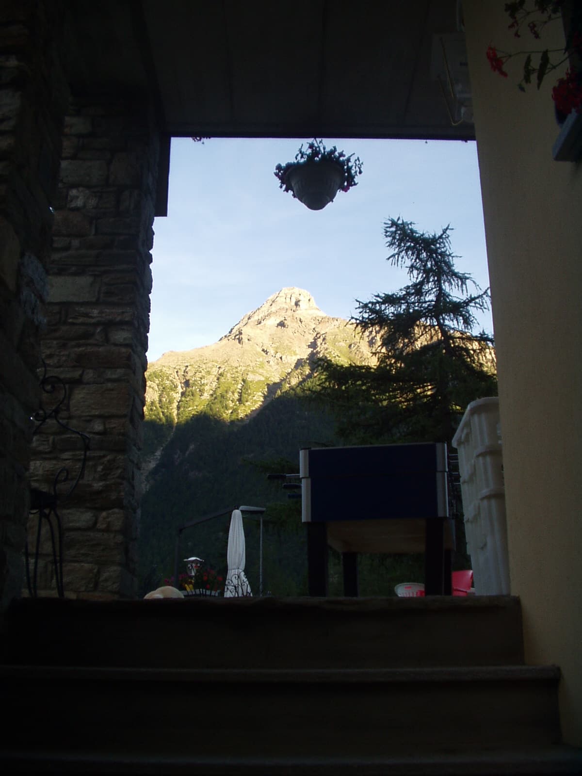
The upper Valpelline is one of the wildest and least-visited lateral valleys of the Aosta Valley, and this long itinerary from Bionaz to Place Moulin runs through its heart along the banks of the Buthier torrent. The 11 km with 698 m of ascent follow a mostly mid-altitude route without technical difficulties, ideal for those seeking a long, immersive walk rather than a steep climb. Bionaz (1495 m) is the last inhabited centre of the valley; from here the path climbs through still-active summer farms, stone barns and open pastures bright with alpine flowers in summer. The destination, Place Moulin (2011 m), is marked by the large reservoir created by the Place Moulin Dam, one of the most significant hydroelectric works in the region. The landscape is framed by the peaks of the Monte Vélan massif.
Estacionamento
Galeria de fotos
Photos are published immediately. JPG/PNG/WebP, max 6 MB.
Flora do trilho
Fauna para observar
AEditado e verificado por Andrea Rama
Fonte dos dados: Catasto Sentieri Regione Autonoma VdA · Open data — DGR 899/2014
Última verificação:
Valpelline
Trilhos relacionados
Mesmo vale ou percursos semelhantes — mais caminhadas para descobrir.

Valpelline
Chamin - Bivacco della Sassa
From Chamin (1,732 m) to the Bivacco della Sassa (2,964 m) in the quiet Valpelline: 7.1 km and 1,246 m of ascent.

Valpelline
Champillon - Rifugio Letey - Col Champillon
3.1 km · +643 m · E — from Champillon to Col Champillon (Valtournenche).

Valpelline
Chanté - Mont Saron
From Allein toward Valpelline across the panoramic ridge between the two valleys: an E-rated route over open pastures with views of the Gran San Bernardo.
Valpelline
Chez-Chenoux - Alpe Chardonney
From Chez-Chenoux the trail quickly clears the forest belt and opens onto the Comba di Vertsan pastures, climbing to the ruins of Alpe Chardonney (2519 m) in the quiet upper Valpelline.