E
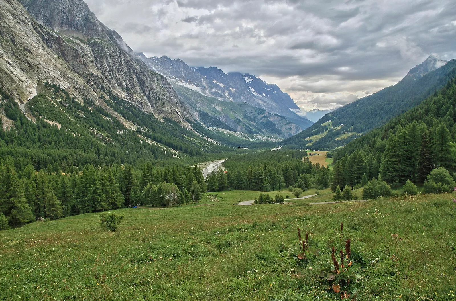
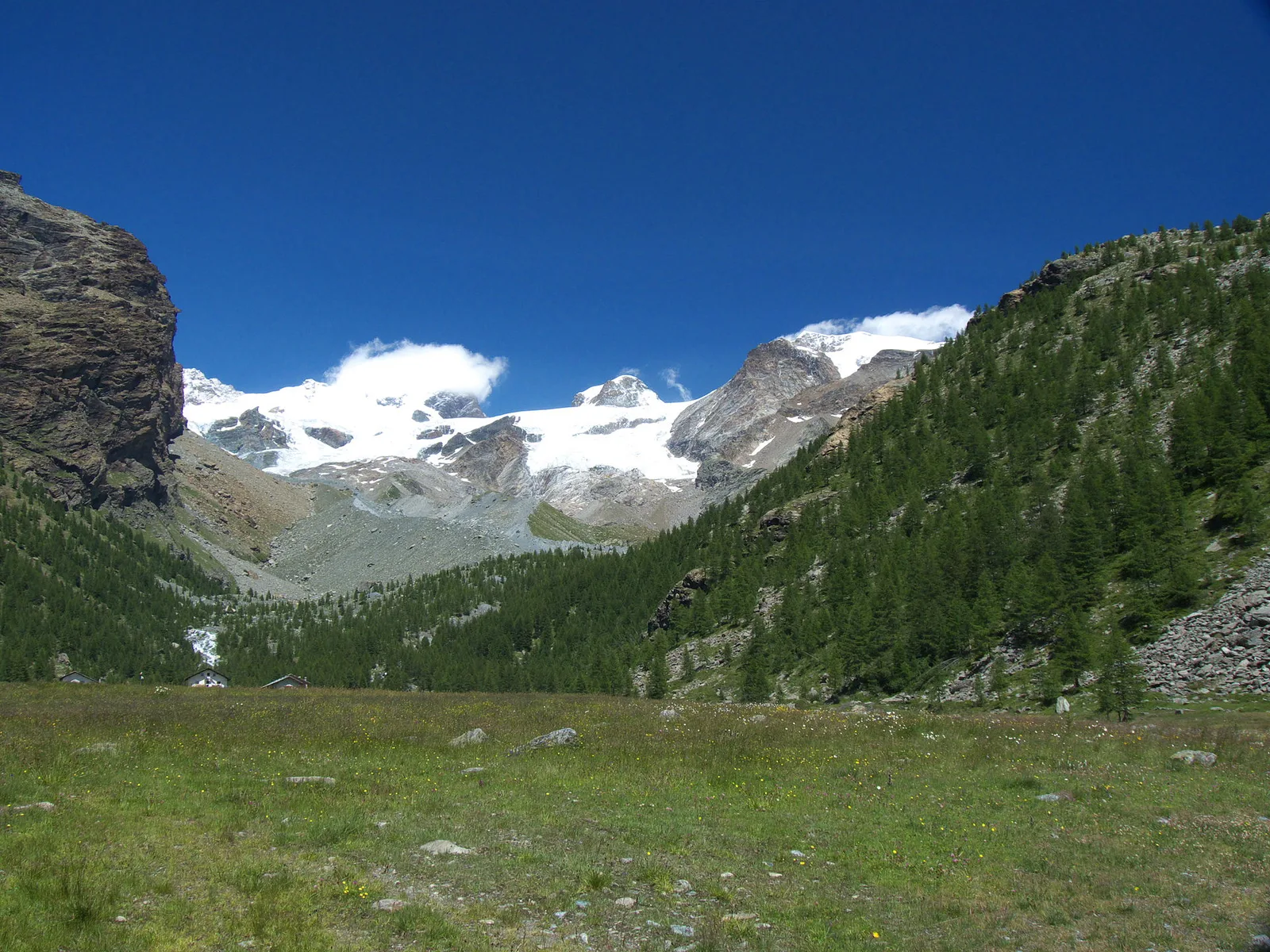
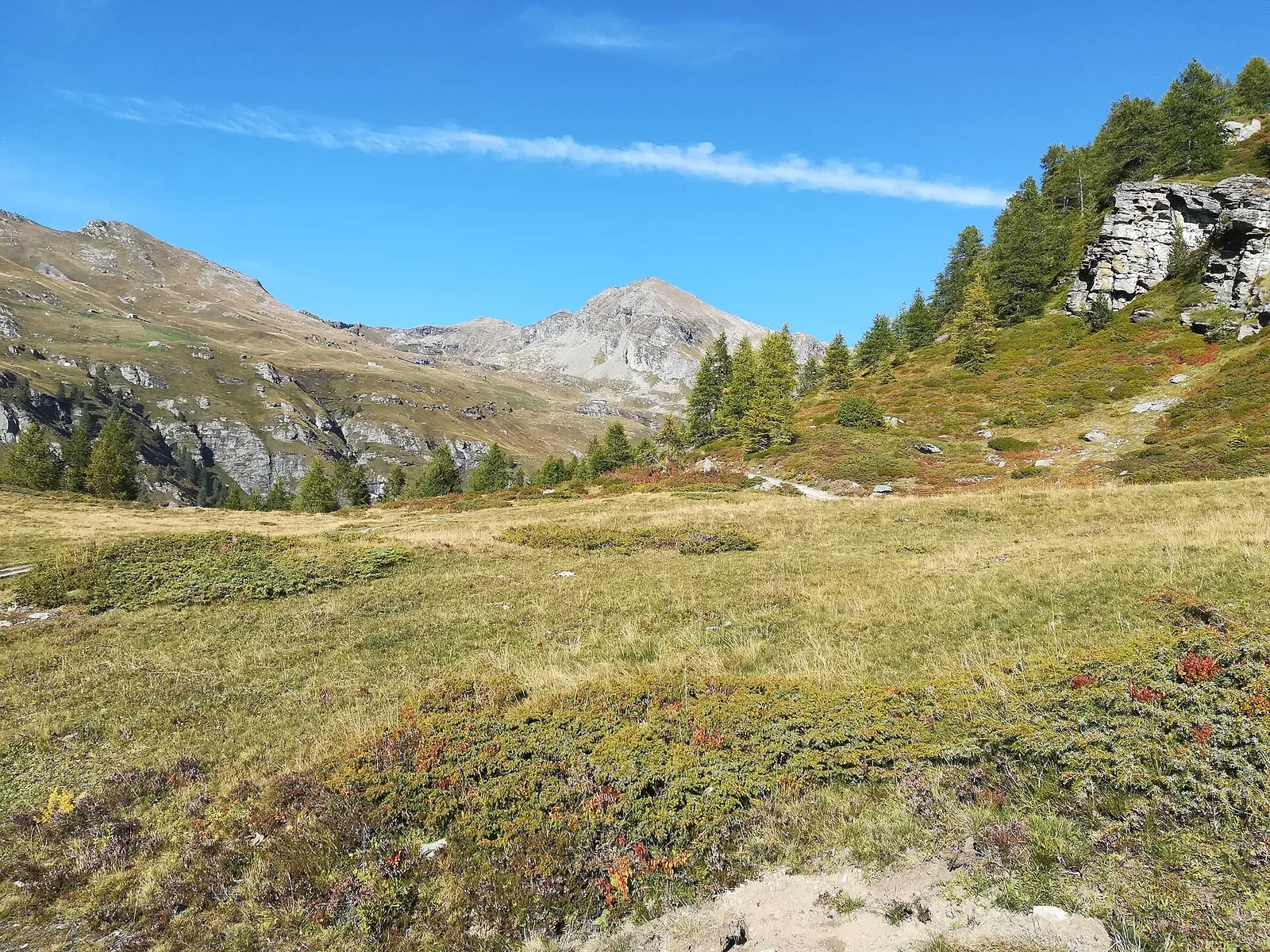
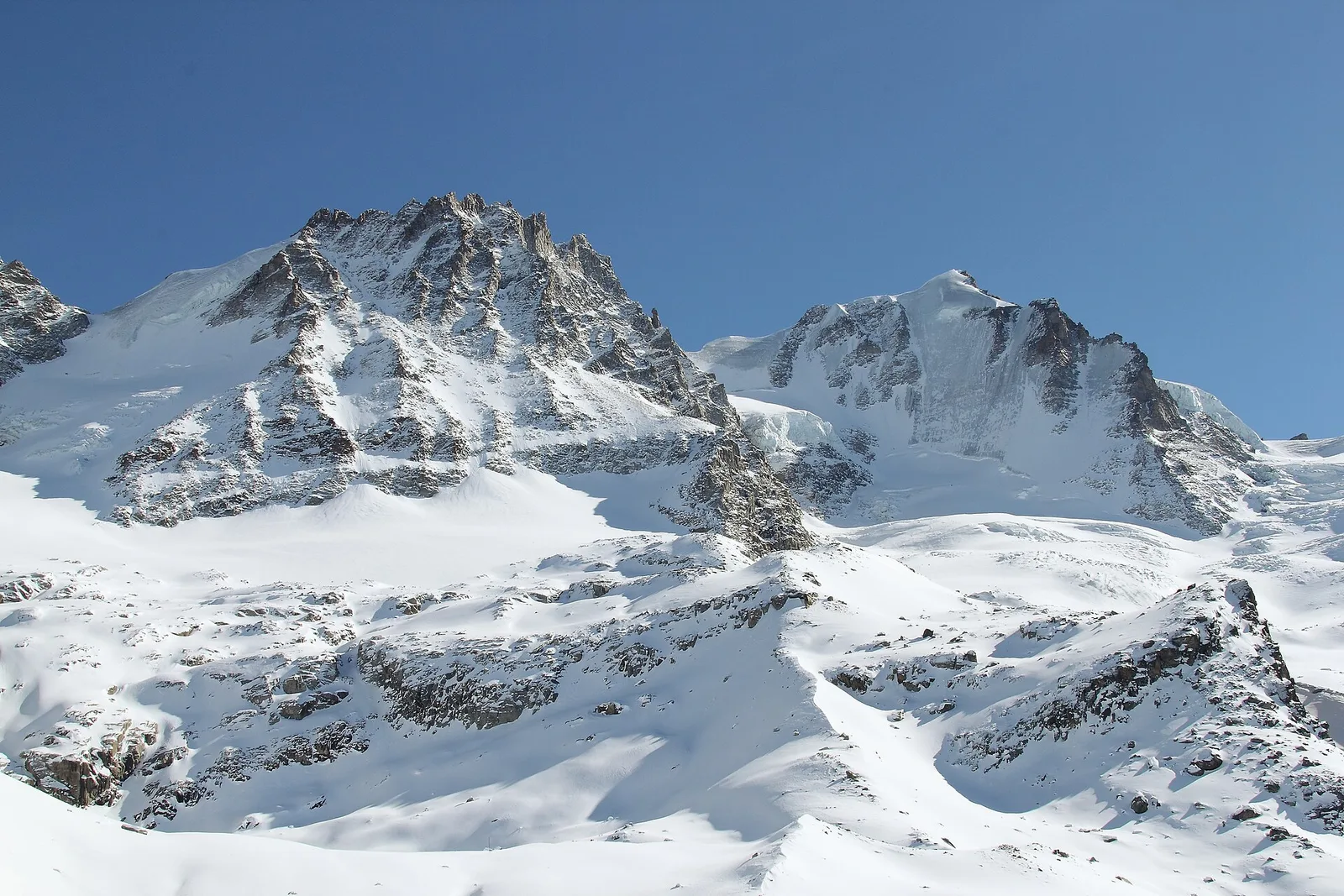
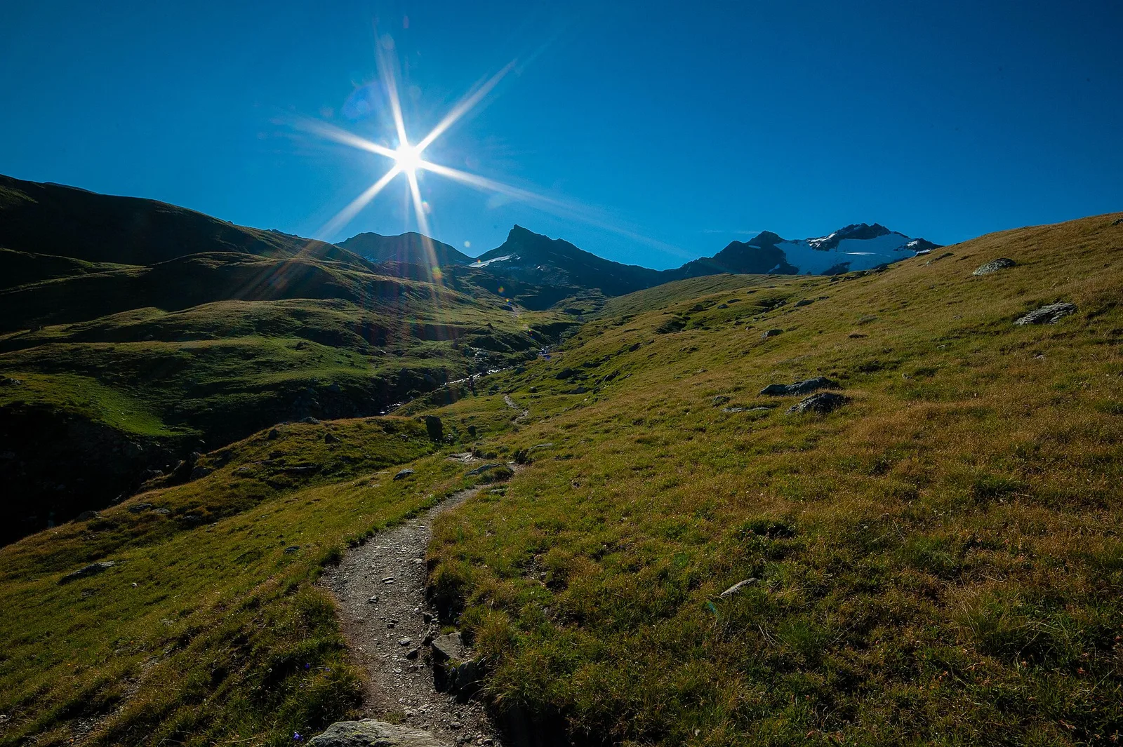
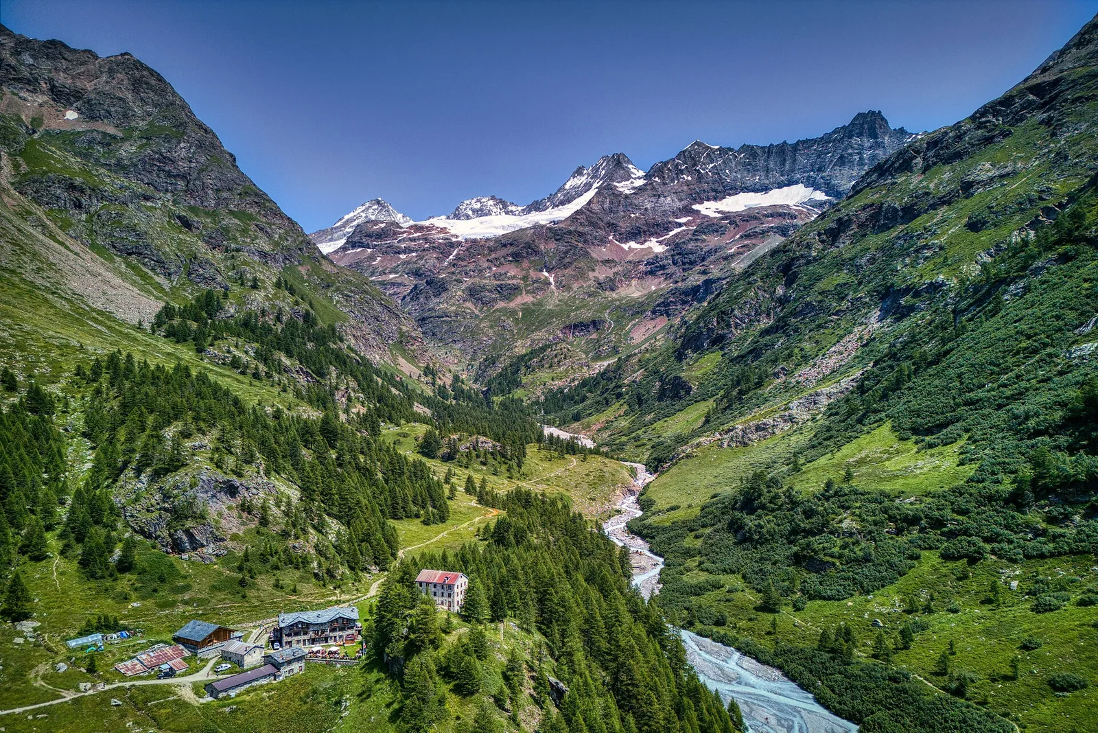
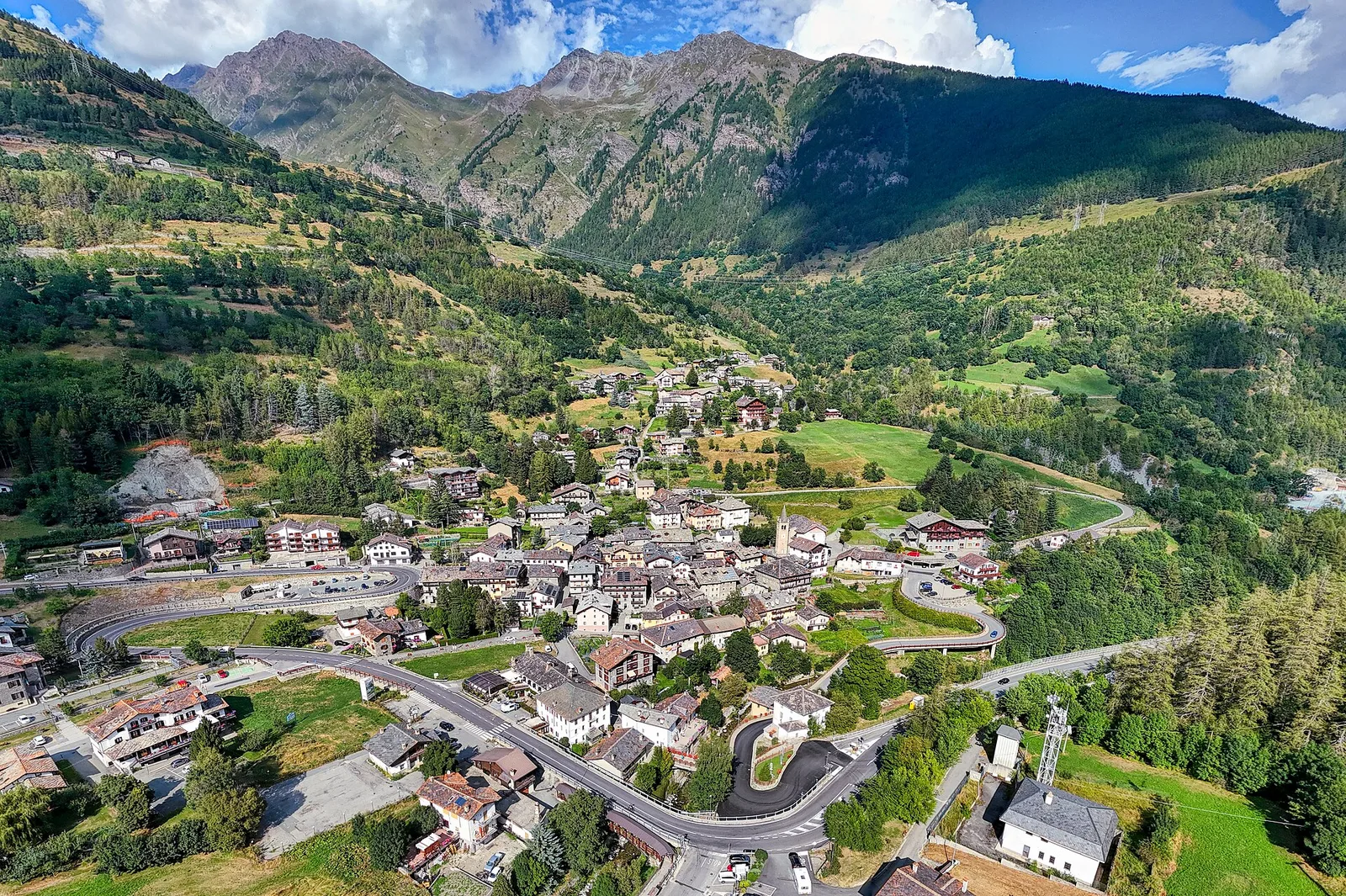
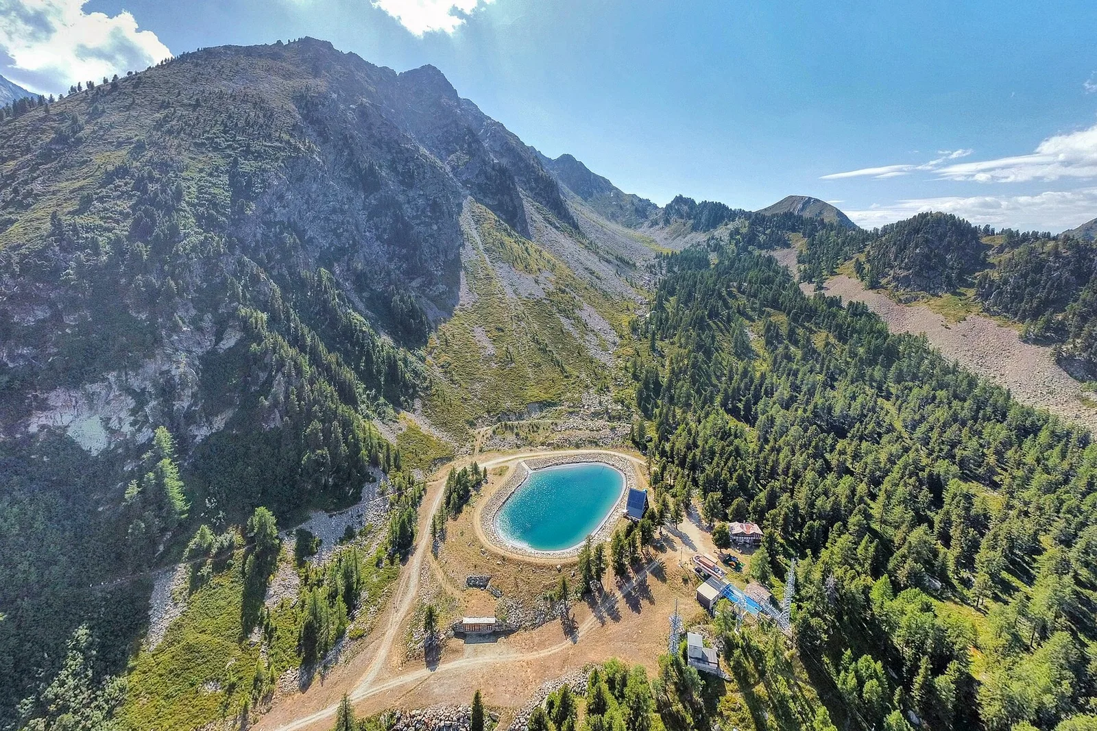
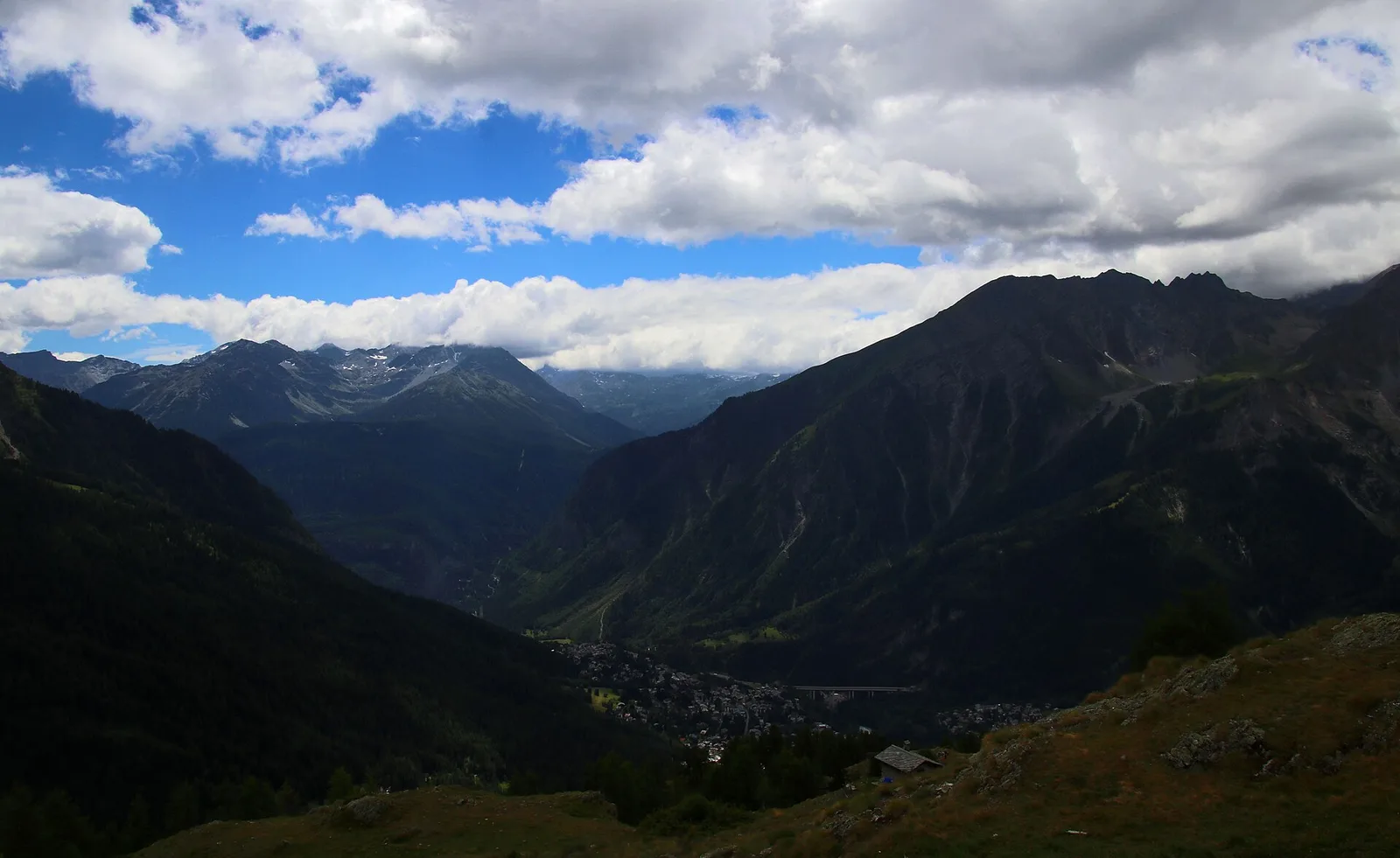
Val Veny
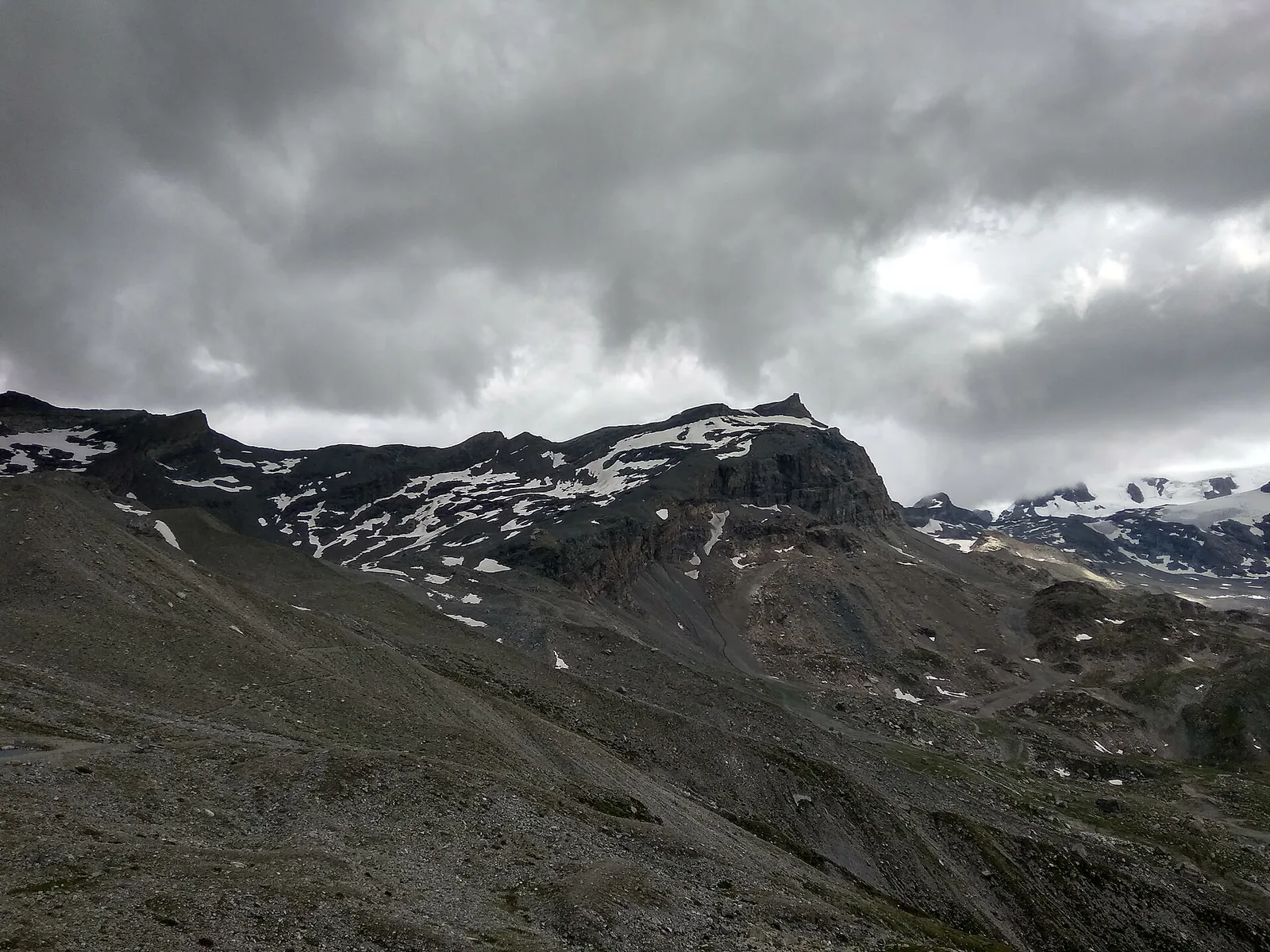
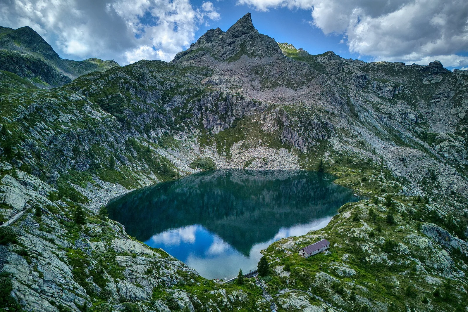
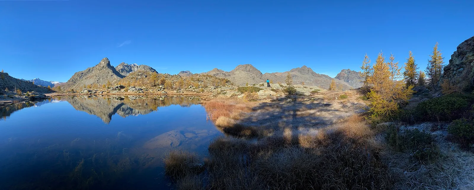
Area pic-nic Plan Veny - Lac du Breuillat
3.6 km · +420 m · E — from Area pic-nic Plan Veny to Lac du Breuillat (Great St Bernard Valley).
3.6 km+420 m2 h
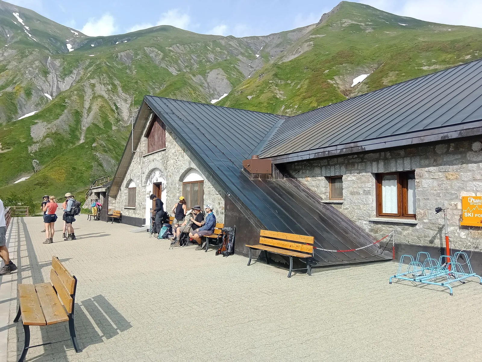
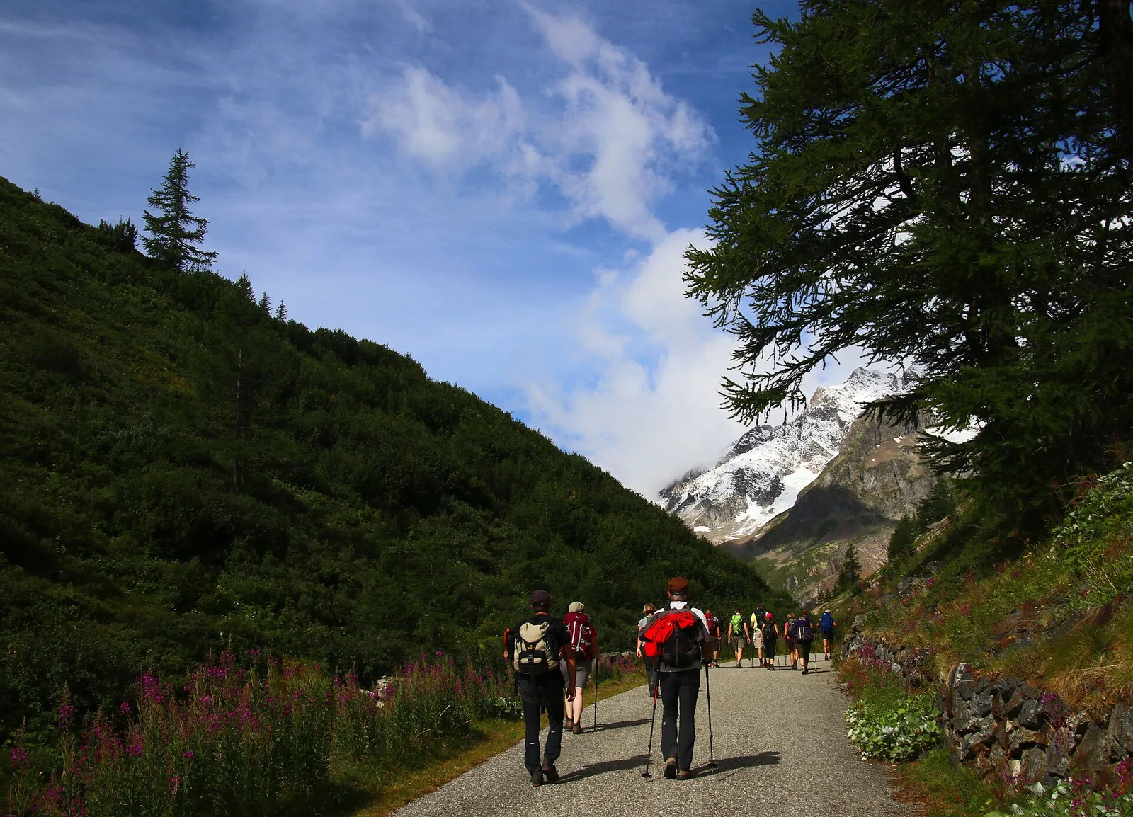
Where to spot
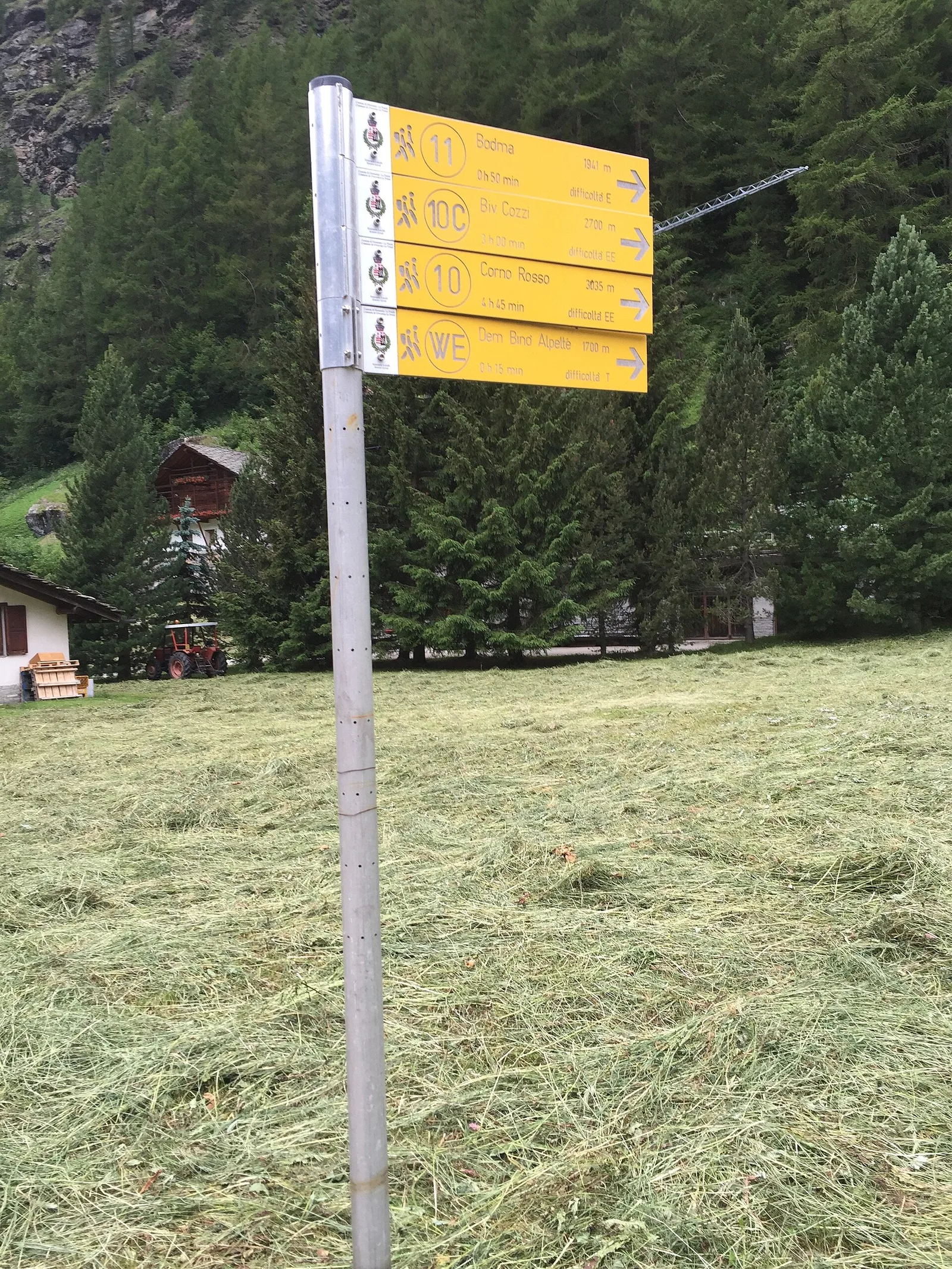
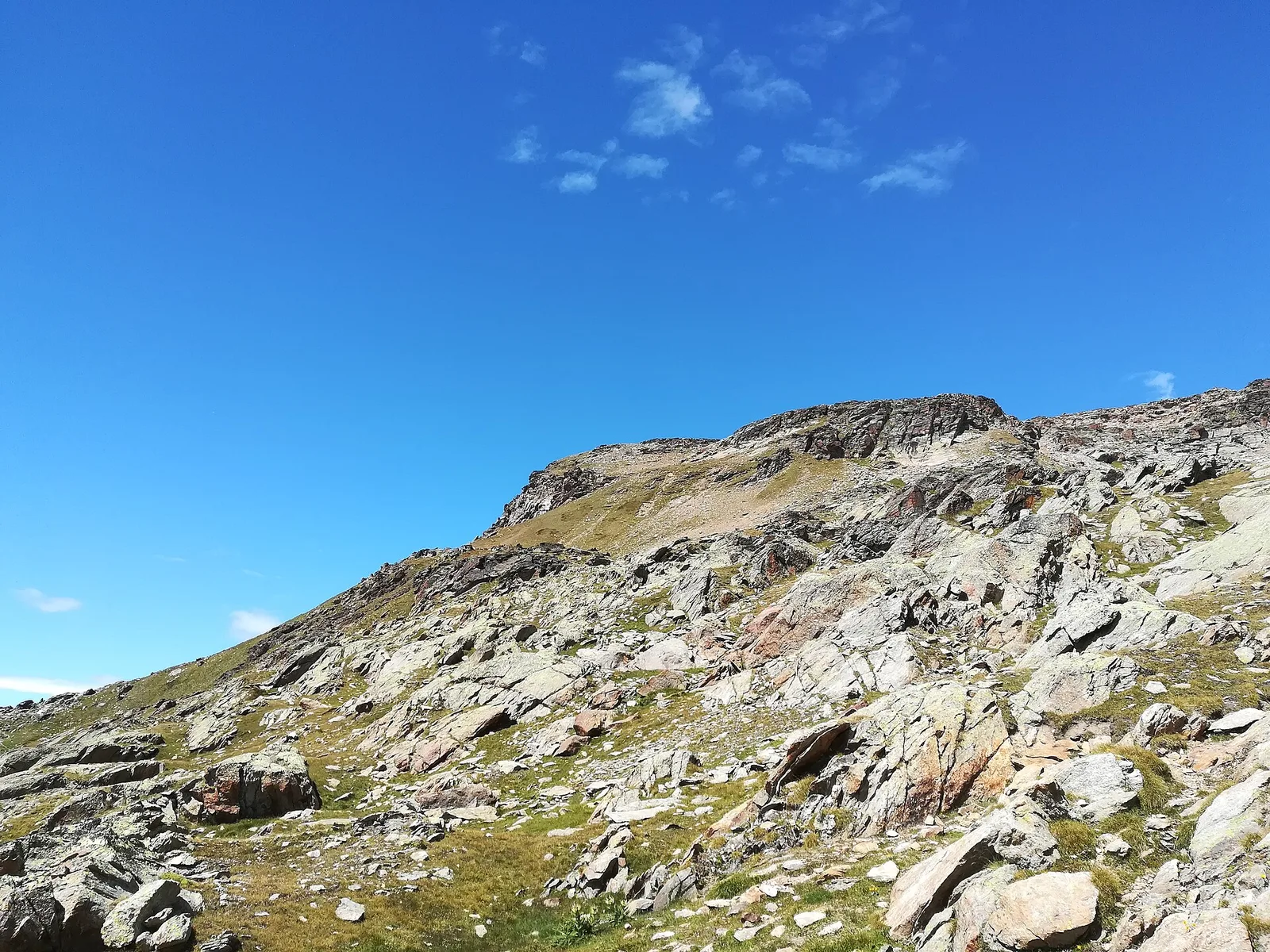
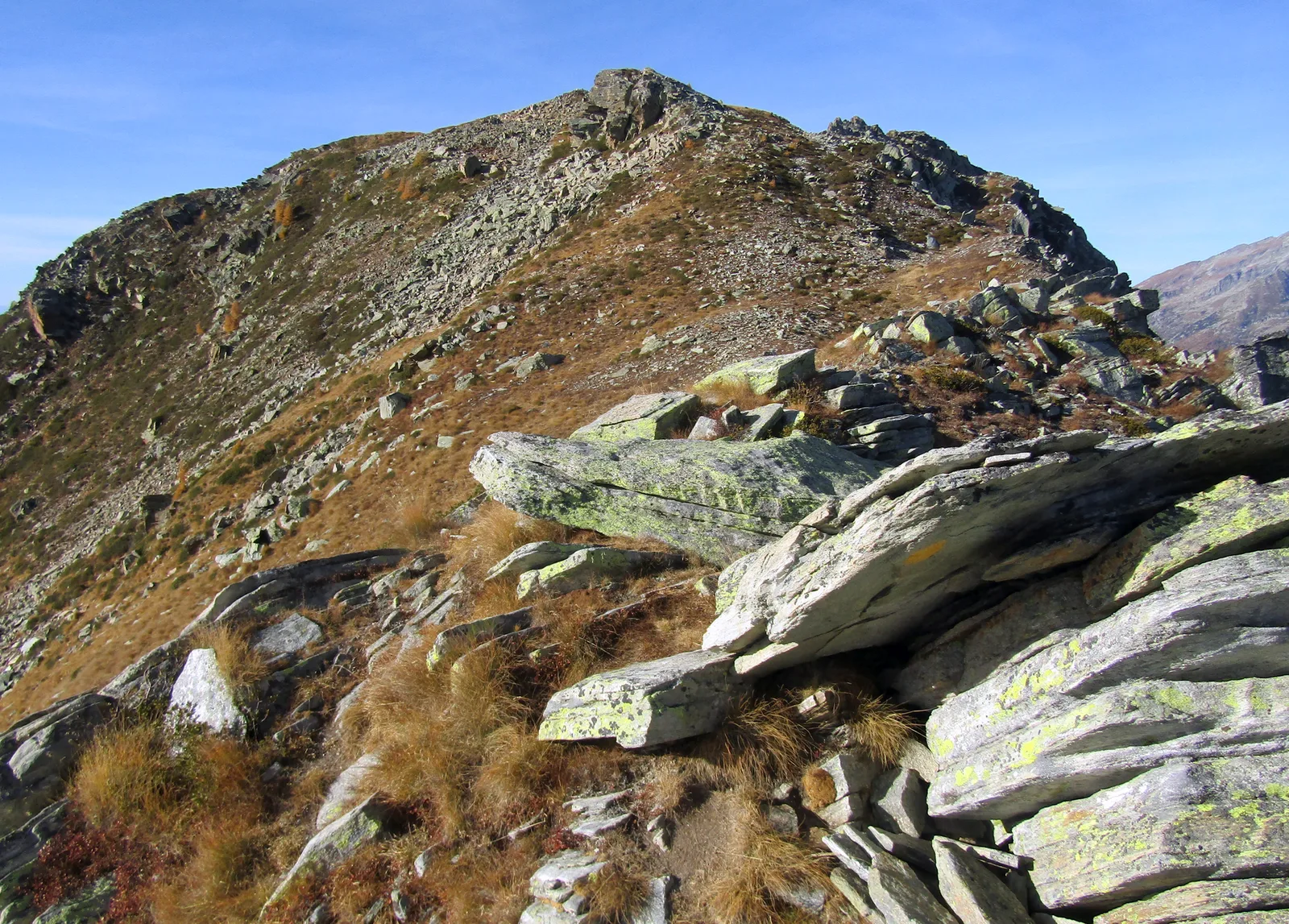
102 trails where Alpine clover is listed in flora/fauna: difficulty T–EEA, elevation gain 0–1911 m.
102 · 0.4–17.4 km · +0–1911 m
Val Veny
3.6 km · +420 m · E — from Area pic-nic Plan Veny to Lac du Breuillat (Great St Bernard Valley).
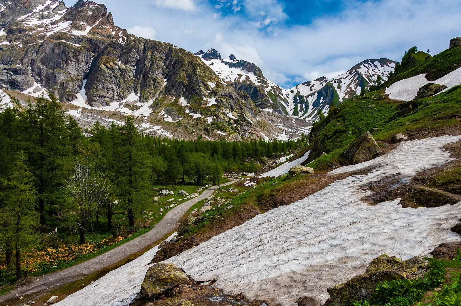
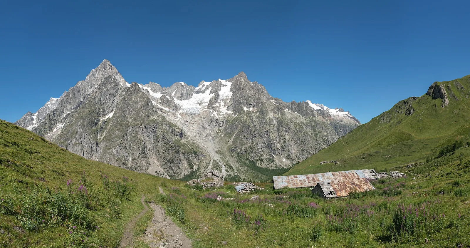
Val Ferret
2.2 km · +291 m · E — from Arp-Nouva to Rif Elena (Great St Bernard Valley).
Valle del Gran San Bernardo
2.9 km · +477 m · E — from Ayez to Genevrey (Great St Bernard Valley).
Val Veny
8.1 km · +1140 m · E — from Balme to Lac de la Platé (Rhêmes Valley).
Val d'Ayas
5 km · +1265 m · E — from Strada Barbustel to Mont Barbeston (Central Valley).
Val d'Ayas
From Barmasc, trail 2A climbs directly to Col Pillonnet (2698 m), the pass between Val d'Ayas and Valtournenche, with 799 m of ascent in 3.7 km.

Valpelline
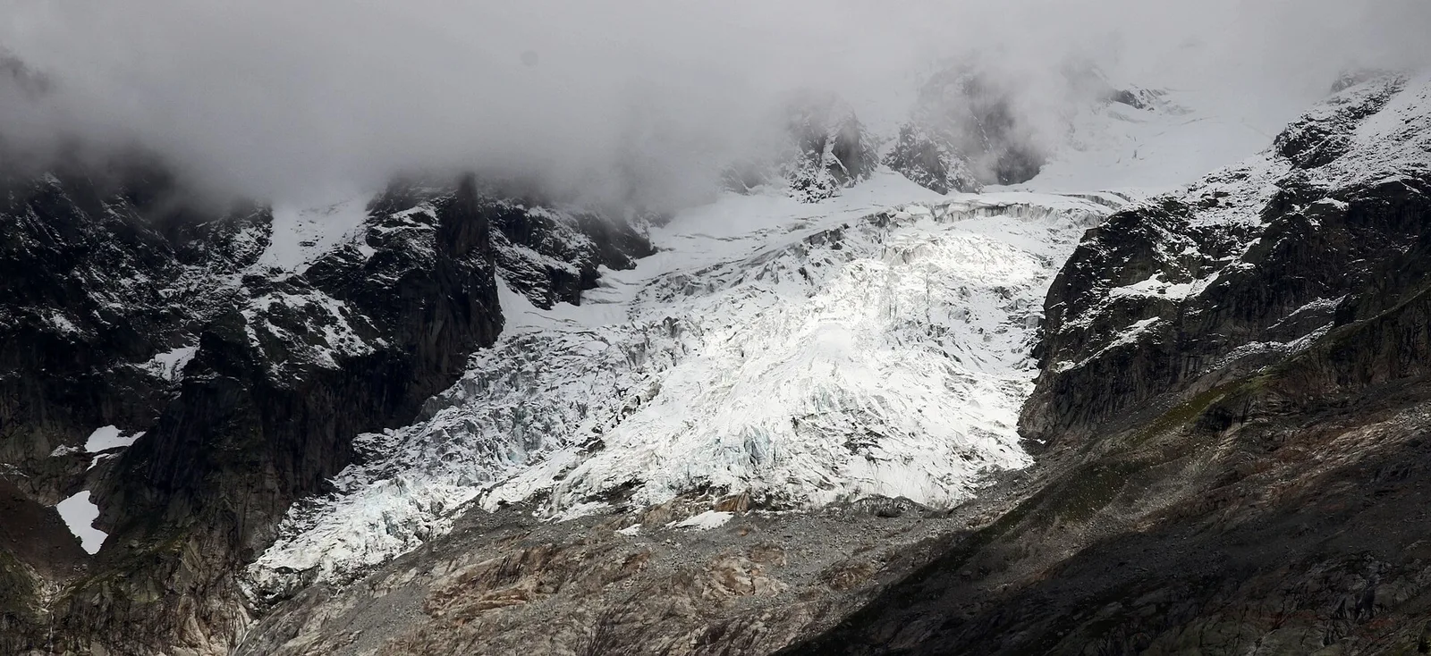
Upper Valpelline, Bionaz: an E-rated route toward a glacial objective over open terrain.
Valle del Gran San Bernardo
Through the Vertosan valley, the trail climbs to the Lacs de Dziule, glacial lakes at 2553 m set in a stark landscape of rock and high meadow in the Valdigne.
Val d'Ayas
Commune of Ayas: an EE climb in high-mountain terrain toward a panoramic high-altitude objective.
Val d'Ayas
From Blanchard (1,731 m) to the Rifugio Guide di Ayas (3,394 m): 8.8 km and 1,668 m of ascent into the high Ayas Valley, EE difficulty.
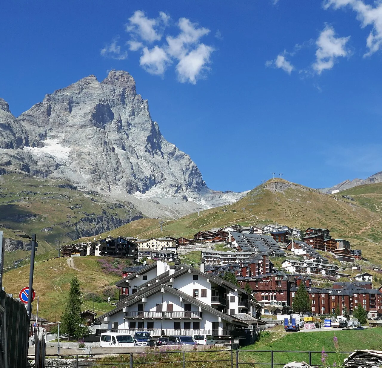
Valtournenche
A long traverse through Valtournenche from the vineyards of Bourg (1,078 m) to the pastures of Maen (1,991 m), with views toward the Matterhorn.
Valtournenche
1.8 km · +21 m · T — from N.D. to N.D. (Central Valley).
Valtournenche
2.6 km · +21 m · E — from N.D. to N.D. (Central Valley).
Valtournenche
5 km · +949 m · EE — from Breuil-Cervinia to Croce Carrel (Central Valley).
Valle centrale
2 km · +275 m · E — from Cerellaz to Vedun (Valdigne).
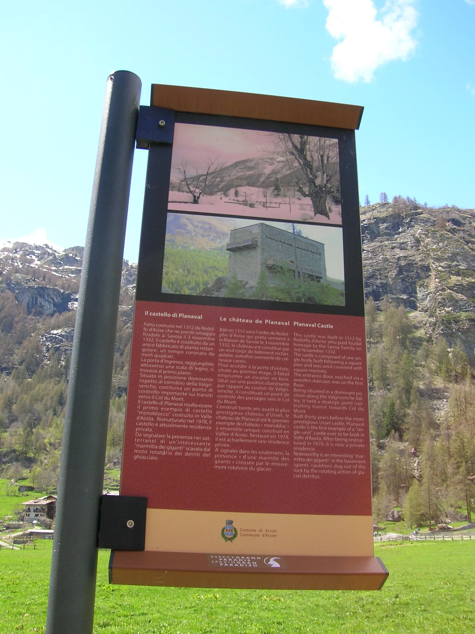
Valgrisenche
In the Valgrisenche, commune of Arvier: an E-rated climb through forest and meadows toward a high-altitude pasture.
Valle di Champorcher
2.7 km · +567 m · E — from Chardonney to Bec de Monpey (Valtournenche).

Valle centrale
2.2 km · +494 m · EE — from Chez Boz to Prapremier (Lys Valley).
Valle centrale
3.1 km · +121 m · T — from Col Saint-Charles to Lac d'Arpy (Central Valley).
Valle centrale
1.2 km · +71 m · T — from Col Saint-Charles to Tête d'Arpy (Central Valley).
Valle centrale
3.7 km · +418 m · E — from Combelin to Alpe Loe (Or) (Central Valley).
Valle centrale
From Costablinaz to Lac d’Arpy (trail 14), Morgex: 6.1 km, +611 m, E. A balcony lake facing Mont Blanc.
Val d'Ayas
A gentle walk from Champoluc to Alpe Résy with sweeping views of the Monte Rosa massif — perfect for families and easy-going mountain walkers.
Valle di Champorcher
6.6 km · +1584 m · E — from Crest-Dèsot to Col de la Fricolla (Champorcher Valley).
Valle centrale
8.8 km · +1911 m · E — from Dailley to Tête de Licony, Bivacco Pascal (Central Valley).
Valle centrale
12.3 km · +1264 m · EE — from Druges to Bivacco Menabreaz (Great St Bernard Valley).
Valle centrale
2.7 km · +414 m · E — from Druges to Prapremier (Great St Bernard Valley).
Valle centrale
3.3 km · +594 m · E — from Ermitage de Saint-Grat to Col Replan (Cogne Valley).
Val di Cogne
3.3 km · +559 m · E — from Ermitage de Saint-Grat to Lac de Chamolé (Cogne Valley).
Valtournenche
6 km · +719 m · E — from Etirol to Fenêtre d'Ersa (Valpelline).
Valle del Lys
2.7 km · +496 m · E — from Gaby to Bounitzon (Great St Bernard Valley).
Valgrisenche
From Grand Haury the route climbs through forest and alpine meadow to the Alpe di Boregne pasture plateau at the foot of Becca Verconey in a quiet Valgrisenche side valley.
Valle centrale
5.6 km · +1012 m · E — from Gressan , Clapey to Pila (Residence Ciel Bleu) (Lys Valley).
Valle del Gran San Bernardo
12.3 km · +890 m · E — from La Cheriettes to Alpe Ars (Central Valley).
Val d'Ayas
Long ascent from La Manda (1493 m) to Col Palasina (2676 m) in Val d'Ayas. Sparse waymarking and open scree above the treeline. No huts en route.
Val Ferret
1.6 km · +332 m · E — from La Remisa to Rif . Bonatti (Great St Bernard Valley).
Valle di Champorcher
3.5 km · +770 m · E — from Le Crin to Grand Bellalanaz (Lys Valley).
Valle centrale
5.8 km · +1201 m · E — from Pont Suaz to Ermitage de Saint-Grat (Cogne Valley).
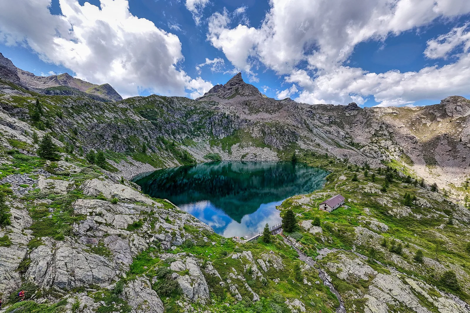
Val di Cogne
6 km · +975 m · EEA — from Levionaz to Passage du Grand Neyron (Ayas Valley).
Valtournenche
2 km · +449 m · E — from Loz (parcheggio) to Alpe Mandaz Inferiore (Central Valley).
Valle centrale
Monte Emilius massif: an EE/EEA route toward the boundary ridges between Val di Cogne and the central valley.
Valle centrale
5.7 km · +1137 m · E — from Lusey to Alpe Ponton (Valtournenche).
Valle del Lys
2.8 km · +392 m · E — from Lysbalma to Ondermonté (Champorcher Valley).
Valle di Champorcher
5 km · +865 m · EE — from Maison Blanche to Praz Premier (Lys Valley).
Valle centrale
3.2 km · +339 m · E — from Marchaucy to Ponteille (Lys Valley).
Valle del Gran San Bernardo
8.2 km · +580 m · E — from Mendey to La Lanche (Central Valley).
Valle centrale
8 km · +1466 m · E — from Miserègne to Ponton (Lys Valley).
Bassa Valle
3.9 km · +1035 m · E — from Monteil to Montat (Valtournenche).
Valle centrale
8.7 km · +1086 m · E — from Morges to Col Licony (La Thuile).
Valle del Lys
2.9 km · +667 m · E — from Ondrò Verdebio to Ondrò Skearpie (Champorcher Valley).
Valle di Champorcher
5.2 km · +796 m · E — from Outre l'Eve to Alpe Chenessy (Valtournenche).
Valle di Champorcher
3.6 km · +853 m · E — from Outre l'Eve to Mont Digny (Valtournenche).

Valle di Champorcher
5.5 km · +892 m · E — from Outre l'Eve to Pian Ciampaney (Valtournenche).
Valpelline
In the Valpelline, commune of Bionaz: an E-rated climb from forest to the Comba di Vertsan pastures.
Valle di Champorcher
6.1 km · +624 m · E — from Parcheggio Dondena to Lac Pontonnet (Valtournenche).
Valle centrale
4.2 km · +778 m · E — from Perron to Cretes (Lys Valley).
Valpelline
From the Place Moulin dam, the trail climbs the upper Valpelline to the Alpe Tsa de Tsan (2615 m), deep within a glacial landscape among the highest terrain of the Aosta Valley.
Valpelline
Along Lake Place-Moulin to Rifugio Prarayer (trail 9-10), Bionaz: 4.6 km, almost flat, T. A walk for everyone.
Valgrisenche
1.3 km · +319 m · E — from Planté to Verconey damon (Valtournenche).
Valle centrale
From the Roman Pont d'Ael (3 BC) at Pondel, a sustained climb into the wild Grand Eyvia valley to the quiet alp of Petit Poignon.
Valsavarenche
1.1 km · +36 m · T — from Parcheggio Pont to Rifugio Tétras Lyre (Ayas Valley).
Val di Cogne
5 km · +775 m · E — from Pont to Rifugio Vittorio Emanuele II (Ayas Valley).
Valtournenche
6.2 km · +830 m · E — from Porliod to Santuario di Cuney (Valpelline).
Val Ferret
6.8 km · +1257 m · E — from Pra Sec to Colle Battaglione Aosta (Great St Bernard Valley).
Bassa Valle
5.5 km · +1218 m · E — from Pramotton to Fontanet (Valtournenche).
Val di Cogne
3.2 km · +490 m · E — from Prati di Sant'Orso - Buthier to Les Ors (Lys Valley).
Valle centrale
5.4 km · +881 m · E — from Chabodey to Promoud (La Thuile).
Valle di Champorcher
2.1 km · +331 m · EE — from Remoran to Col Terre Rousse (Valtournenche).
Valgrisenche
In the Valgrisenche the route climbs through forest and meadows toward upper pastures: an E-rated itinerary in the commune of Arvier.
Valgrisenche
3.1 km · +480 m · E — from Confine comunale Arvier, Revers to Borègne (Valtournenche).
Valle del Lys
4.3 km · +1026 m · EE — from Rifugio Alpenzù to Passo di Valfredda (Champorcher Valley).
Valgrisenche
9.4 km · +691 m · E — from Rifugio Bezzi to Rif. Chalet de l'Epée (Valtournenche).
Val di Cogne
3.5 km · +545 m · EE — from Rifugio Chabod to Passage du Grand Neyron (Ayas Valley).
La Thuile
2.9 km · +375 m · E — from Rifugio Deffeyes to Haut Pas (Passo Alto) (Lys Valley).
Valle del Lys
3.6 km · +529 m · E — from Rifugio del Lys to Colle Salza (Lys Valley).
Valle del Lys
6.4 km · +1094 m · EE — from Rifugio del Lys to Rifugio Mantova (Lys Valley).
Val Ferret
1.7 km · +491 m · E — from Rif Elena to Col Petit Ferret (Great St Bernard Valley).
Valpelline
From Rifugio Prarayer (2002m) to Col di Valcorneraz (3086m): 5.8 km EE — ancient pass between Valpelline and Valtournenche in high-mountain terrain.

Valle del Lys
6.1 km · +1025 m · E — from Rikurt to Muni (Ayas Valley).
Valle centrale
3 km · +715 m · E — from Robbio to Grand Bellalanaz (Lys Valley).
Valle del Lys
4.8 km · +1211 m · EE — from Rong to Passo Valdobbiola (Champorcher Valley).
Valle del Gran San Bernardo
4.7 km · +889 m · E — from Rosière to Colle Serena (Central Valley).
Valtournenche
1.8 km · +36 m · T — from LOU to Incrocio pista forestale (Central Valley).
Valle centrale
From Runaz (839 m) to the Alpage du Glacier (2163 m): 1635 m of ascent through forest, pastures and open alpine grassland, one of the most demanding routes in the Valdigne.
Valle del Gran San Bernardo
0.4 km · +24 m · E — from Saint-Oyen to Pallais dessus (Great St Bernard Valley).

Valle del Lys
4.2 km · +802 m · EE — from Sainte-Marguerite to Col Giassit (Central Valley).
Valle del Lys
6.6 km · +837 m · E — from Sainte-Marguerite to Punta di Cressa (Central Valley).
Valle del Lys
6.9 km · +1063 m · E — from Staffal to Col D'Olen (Lys Valley).
Valle di Champorcher
3.5 km · +745 m · EE — from Strada Dondena to Cima Piana (Valtournenche).

Valle di Champorcher
0.8 km · +258 m · EE — from Strada Dondena to Col Terre Rousse (Valtournenche).
Valle del Lys
2.8 km · +590 m · E — from Start S2 (strada per Tschalvrino) to Weissmatten (Champorcher Valley).
Valle del Lys
15.6 km · +0 m · E — from Rifugio della Barma to Niel (Lys Valley).
Valpelline
5 km · +1041 m · E — from Rey to Rifugio Champillon (Valpelline).
Valle centrale
11.9 km · +0 m · E — from Rifugio Bonatti to Capoluogo (Great St Bernard Valley).

Valle di Champorcher
7.4 km · +1789 m · E — from Varesa to Col de la Fricolla (Champorcher Valley).
Valle del Gran San Bernardo
8.4 km · +1360 m · EE — from Vetan to Mont Fallère (Central Valley).
Valle centrale
3.9 km · +289 m · E — from Vetan to Alpe Loe (Or) (Central Valley).
Val d'Ayas
5.3 km · +1303 m · EE — from Veulla to Col Varotta (Central Valley).
Valle centrale
10.7 km · +910 m · E — from Villair to Rifugio Bonatti (Great St Bernard Valley).
Valle centrale
3.4 km · +722 m · E — from Villair to Rifugio Bertone, tavola di orientamento (Great St Bernard Valley).
Val Veny
3.2 km · +366 m · E — from Visaille to Lago del Miage (Great St Bernard Valley).
Valle di Champorcher
2.8 km · +601 m · E — from Visey dessus to Col Terre Rousse (Central Valley).