Lusey - Alpe Ponton
Avisos
- High elevation gain (1137 m): excellent fitness and pacing essential.
5.7 km
+1137 m
−0 m
4.5 h
Nível físico
Mapa e percurso
Traço GPX — verifique no terreno antes de caminhar
Descrição
Pontos-chave
Partida
Lusey · 1166 m
Chegada
Alpe Ponton · 2043 m
Trilho
S4
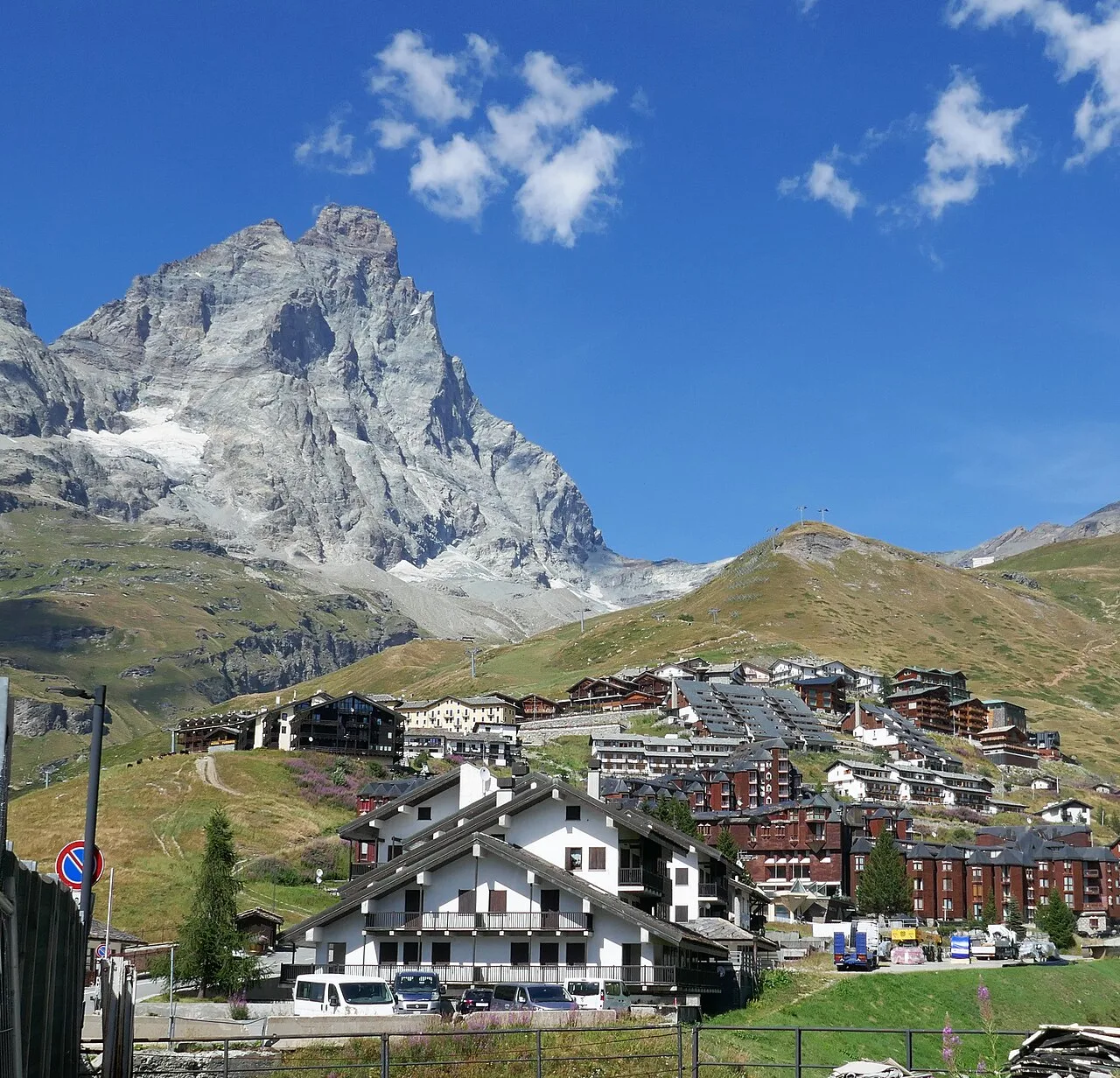
The trail from Lusey (1166 m) to Alpe Ponton (2043 m) in the Valtournenche area climbs 1137 m over just 5.7 km, making it one of the most demanding ascents by elevation gain in the Châtillon sector. Graded E, it suits experienced hikers with good fitness. The path works steadily up through mixed forest, then sparse larch stands, before breaking into open pasture on the upper slopes. Alpe Ponton provides a wide view over the Valtournenche valley and surrounding peaks. No technical difficulty, but the relentless gain demands solid stamina and careful pacing.
Estacionamento
Galeria de fotos
Photos are published immediately. JPG/PNG/WebP, max 6 MB.
Flora do trilho
Fauna para observar
AEditado e verificado por Andrea Rama
Fonte dos dados: Catasto Sentieri Regione Autonoma VdA · Open data — DGR 899/2014
Última verificação:
Valle centrale
Trilhos relacionados
Mesmo vale ou percursos semelhantes — mais caminhadas para descobrir.

Valle centrale
Anello del Verrand
2.6 km · +233 m · E — from Château Verrand to Château Verrand (Rhêmes Valley).

Valle centrale
Area giochi Croux - Parleyaz
4.1 km · +476 m · E — from Area giochi Croux to Parleyaz (Central Valley).

Valle centrale
Arlier - Cloutraz (Pontey)
From Arlier (603m) to Cloutraz (1067m) on the Châtillon hillside: 3.5 km E through vineyards, woodland and views over the Dora Baltea.

Valle centrale
Arpilles - Champromenty
2.1 km · +333 m · E — from Arpilles to Champromenty (Lys Valley).