La Manda - Palasinaz
Avisos
- Sparse waymarking: carry map or GPS.
- Significant elevation gain (1186m), no intermediate huts.
6.9 km
+1186 m
−0 m
4.5 h
Nível físico
Mapa e percurso
Traço GPX — verifique no terreno antes de caminhar
Descrição
Pontos-chave
Partida
La Manda · 1493 m
Chegada
Col Palasina · 2676 m
Trilho
S38
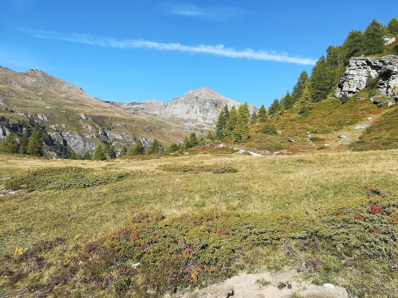
From the alp of La Manda at 1493 m, on the southern slopes of Val d'Ayas, the trail climbs steeply to the Col Palasina at 2676 m. Nearly 1200 metres of ascent in under seven kilometres, with sparse waymarking — just four signs along the entire route — demands solid route-finding skills, especially on the upper scree. The views toward Monte Rosa reward the effort. No mountain huts en route; carry sufficient water.
Estacionamento
Galeria de fotos
Photos are published immediately. JPG/PNG/WebP, max 6 MB.
Fauna para observar
AEditado e verificado por Andrea Rama
Fonte dos dados: Catasto Sentieri Regione Autonoma VdA · Open data — DGR 899/2014
Última verificação:
Val d'Ayas
Trilhos relacionados
Mesmo vale ou percursos semelhantes — mais caminhadas para descobrir.

Val d'Ayas
Amponey - Becca Trecare
A demanding EE ascent from Amponey to Becca Trecare at 3032m — nearly 1500m of gain on varied terrain with sweeping summit views.

Val d'Ayas
Amponey - Alpe Mascognaz
1.8 km · +309 m · E — from Amponey to Alpe Mascognaz (Central Valley).

Val d'Ayas
Amponey - Bec de Nannaz
In the Val d'Ayas, Ayas: an E-rated climb toward a high-altitude objective through pastures and rock with views of Monte Rosa.

Val d'Ayas
Amponey - Mont Facebelle
In the Val d'Ayas, Ayas: an E/EE-rated climb toward a high-altitude objective in the alpine landscape.