Panoramica: Ru - Berrié - Place Moulin
Avisos
- EE route: exposed sections and faint trail in places. Experience and navigation required.
- Long route (11.2 km): not advised in fog or wet ground.
11.2 km
+535 m
−0 m
4 h
Nível físico
Mapa e percurso
Traço GPX — verifique no terreno antes de caminhar
Descrição
Pontos-chave
Partida
Ru · 1694 m
Chegada
Place Moulin · 1990 m
Trilho
S5
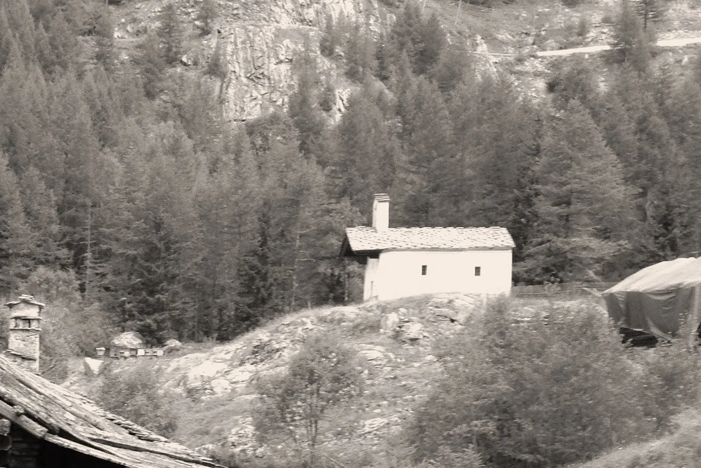
A long traverse across the flanks of Valpelline, covering 11.2 km from Ru (1694 m) to Place Moulin (1990 m) with 535 m of ascent. The EE rating reflects exposed sections and intermittently faint trail rather than sheer altitude. The route visits traditional alpine farms and overlooks the reservoir chain below, with sweeping views toward the Gran Combin and the Pennine Alps. Slope vegetation of rhododendron, juniper and larch frames the panorama throughout.
Estacionamento
Galeria de fotos
Photos are published immediately. JPG/PNG/WebP, max 6 MB.
Flora do trilho
Fauna para observar
AEditado e verificado por Andrea Rama
Fonte dos dados: Catasto Sentieri Regione Autonoma VdA · Open data — DGR 899/2014
Última verificação:
Valpelline
Trilhos relacionados
Mesmo vale ou percursos semelhantes — mais caminhadas para descobrir.

Valpelline
Bionaz (Plan Praz) - Place Moulin
Upper Valpelline, Bionaz: an E-rated route toward a glacial objective over open terrain.

Valpelline
Chamin - Bivacco della Sassa
From Chamin (1,732 m) to the Bivacco della Sassa (2,964 m) in the quiet Valpelline: 7.1 km and 1,246 m of ascent.

Valpelline
Champillon - Rifugio Letey - Col Champillon
3.1 km · +643 m · E — from Champillon to Col Champillon (Valtournenche).

Valpelline
Chanté - Mont Saron
From Allein toward Valpelline across the panoramic ridge between the two valleys: an E-rated route over open pastures with views of the Gran San Bernardo.