Charbonnière - Vedun
3.5 km
+380 m
−0 m
2 h
Nível físico
Mapa e percurso
Traço GPX — verifique no terreno antes de caminhar
Descrição
Pontos-chave
Partida
Charbonnière · 1271 m
Chegada
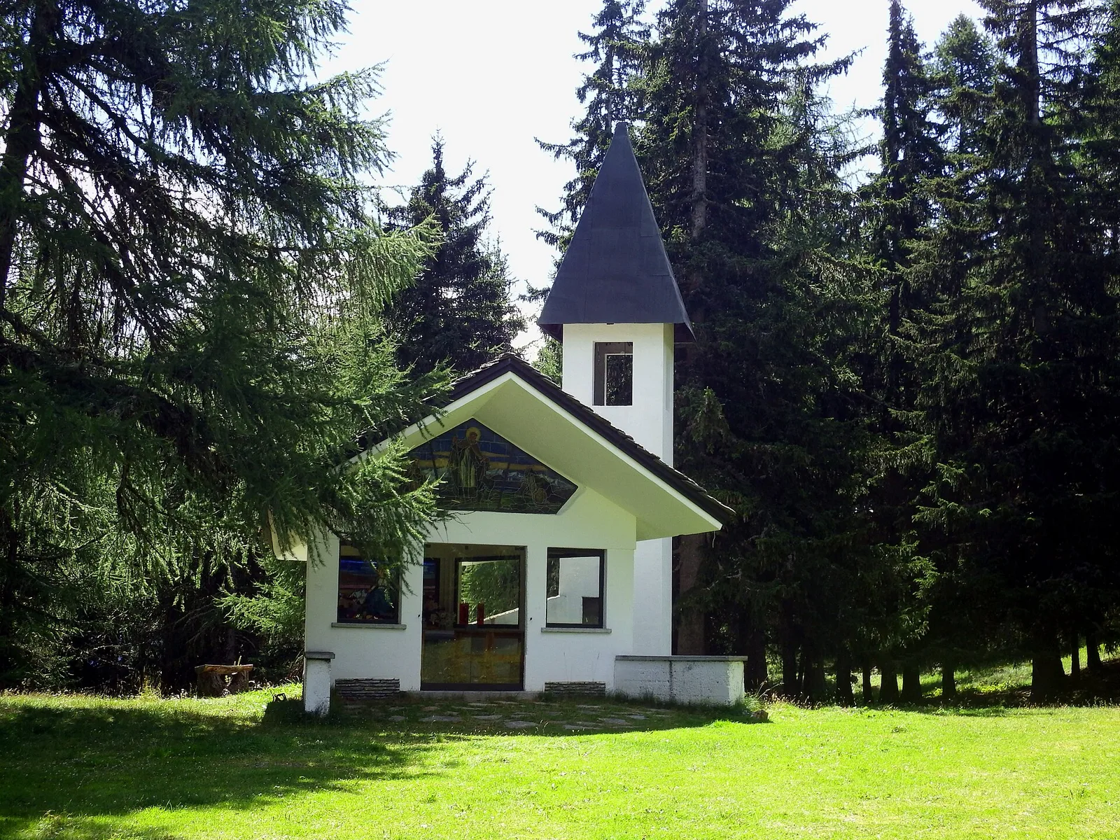
Vedun · 1519 m
Trilho
S18
A hiking trail in the municipality of La Salle, in the Valdigne — the uppermost section of the Aosta Valley — linking Charbonnière at 1,271 m with Vedun at 1,519 m. The route covers 3.5 km with 380 m of elevation gain, rated E (CAI scale). It moves through the mid-mountain belt between the valley floor and the higher pastures, in a landscape shaped by La Salle's proximity to the Mont Blanc massif. Recommended season: May to October.
Estacionamento
Galeria de fotos
Photos are published immediately. JPG/PNG/WebP, max 6 MB.
Flora do trilho
Fauna para observar
AEditado e verificado por Andrea Rama
Fonte dos dados: Catasto Sentieri Regione Autonoma VdA · Open data — DGR 899/2014
Última verificação:
Valle centrale
Trilhos relacionados
Mesmo vale ou percursos semelhantes — mais caminhadas para descobrir.

Valle centrale
Anello del Verrand
2.6 km · +233 m · E — from Château Verrand to Château Verrand (Rhêmes Valley).

Valle centrale
Area giochi Croux - Parleyaz
4.1 km · +476 m · E — from Area giochi Croux to Parleyaz (Central Valley).

Valle centrale
Arlier - Cloutraz (Pontey)
From Arlier (603m) to Cloutraz (1067m) on the Châtillon hillside: 3.5 km E through vineyards, woodland and views over the Dora Baltea.

Valle centrale
Arpilles - Champromenty
2.1 km · +333 m · E — from Arpilles to Champromenty (Lys Valley).