Ozein - Pointe De La Pierre
7.5 km
+1293 m
−0 m
5 h
Nível físico
Mapa e percurso
Traço GPX — verifique no terreno antes de caminhar
Descrição
Pontos-chave
Partida
Ozein · 1371 m
Chegada
Pointe De La Pierre · 2642 m
Trilho
S13
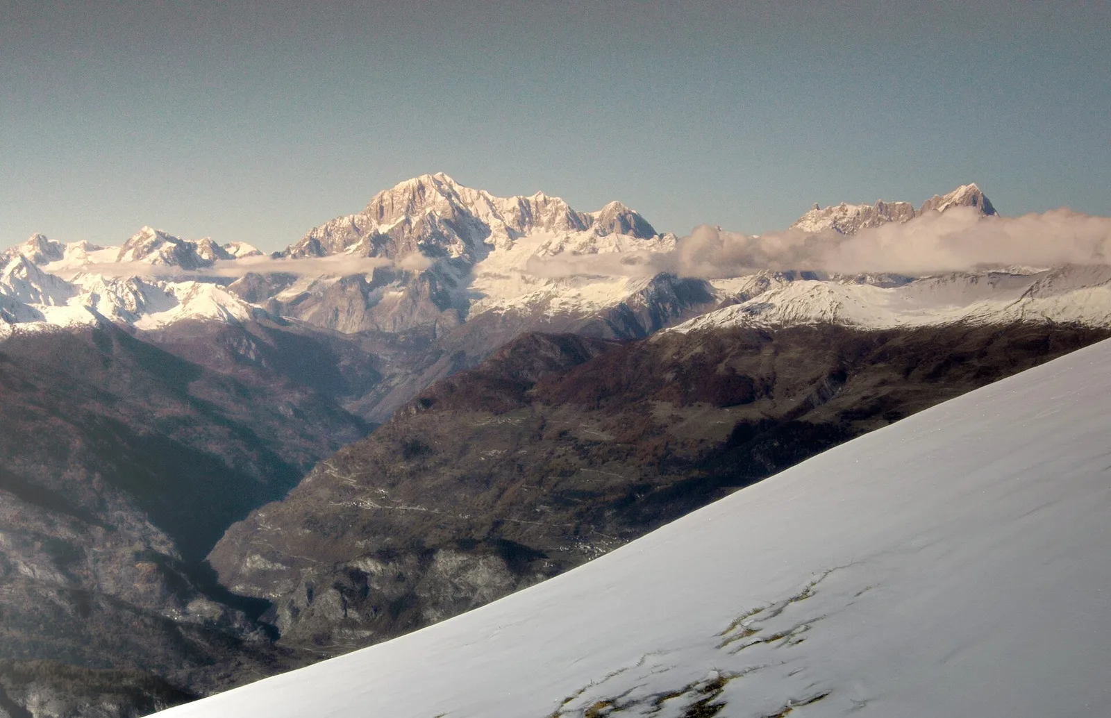
The trail from Ozein to Pointe de la Pierre is a classic route on the northern flank of Val di Cogne, departing from Ozein in Aymavilles (1371 m) and arriving at 2642 m, covering 1293 m of ascent over 7.5 km. The path climbs first through forest, then along farm tracks to the Romperein pastures, crosses an open meadow to the northern face, passes through a second conifer forest belt and reaches the Champchenille alp before approaching the summit zone. Pointe de la Pierre offers open views across the Pila basin, the central Aosta Valley and surrounding mountain chains. The E rating marks a well-frequented hiking route for fit walkers. Also popular as a winter snowshoe route.
Estacionamento
Galeria de fotos
Photos are published immediately. JPG/PNG/WebP, max 6 MB.
Fauna para observar
AEditado e verificado por Andrea Rama
Fonte dos dados: Catasto Sentieri Regione Autonoma VdA · Open data — DGR 899/2014
Última verificação:
Valle centrale
Trilhos relacionados
Mesmo vale ou percursos semelhantes — mais caminhadas para descobrir.

Valle centrale
Anello del Verrand
2.6 km · +233 m · E — from Château Verrand to Château Verrand (Rhêmes Valley).

Valle centrale
Area giochi Croux - Parleyaz
4.1 km · +476 m · E — from Area giochi Croux to Parleyaz (Central Valley).

Valle centrale
Arlier - Cloutraz (Pontey)
From Arlier (603m) to Cloutraz (1067m) on the Châtillon hillside: 3.5 km E through vineyards, woodland and views over the Dora Baltea.

Valle centrale
Arpilles - Champromenty
2.1 km · +333 m · E — from Arpilles to Champromenty (Lys Valley).