Staffal - Passo Inferiore della Bettolina (Betlinòfòrkò)
4.7 km
+1088 m
−0 m
4 h
Nível físico
Mapa e percurso
Traço GPX — verifique no terreno antes de caminhar
Descrição
Pontos-chave
Partida
Staffal · 1840 m
Chegada
Passo Inferiore della Bettolina · 2906 m
Trilho
S1
A steep climb from Staffal to the Passo Inferiore della Bettolina (about 2,800 m), a panoramic pass between the head of the Lys and the Monterosa Ski area towards the Col d'Olen. The trail climbs grassy hollows and scree, the view widening over the Lys glaciers and the Gressoney valley floor. A high-altitude stage also used as a hiking variant of the Monte Rosa circuit.
Ciências da Terra
Geologia e paisagem
The bedrock is that of the Monte Rosa nappe — continental-crust gneisses and granites, greenstones of the Alpine ocean — carved and polished by the Lys glaciers, among recent moraines and roches moutonnées.
História e cultura
This is Walser country: the Alemannic settlers who crossed the Monte Rosa glaciers from Valais in the 13th century left Gressoney the Töitschu language, timber-and-stone stadel and the German names of the peaks.
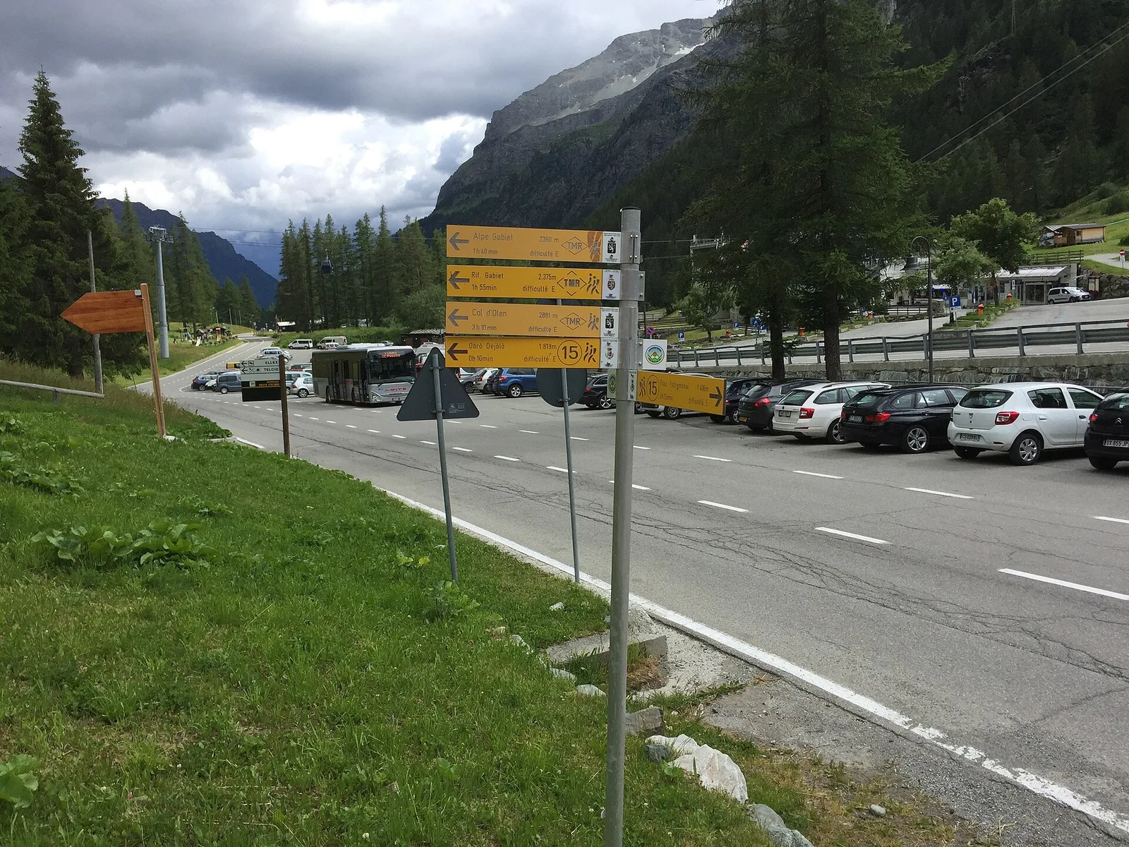
Estacionamento
Galeria de fotos
Photos are published immediately. JPG/PNG/WebP, max 6 MB.
Flora do trilho
AEditado e verificado por Andrea Rama
Fonte dos dados: Catasto Sentieri Regione Autonoma VdA · Open data — DGR 899/2014
Última verificação:
Valle del Lys
Trilhos relacionados
Mesmo vale ou percursos semelhantes — mais caminhadas para descobrir.

Valle del Lys
Anello dei Gemelli della Mologna
8.9 km · +996 m · EEA — from Niel to Niel (Great St Bernard Valley).

Valle del Lys
Balmeto - Leck Albezò
1.2 km · +287 m · E — from Balmeto to Leck Albezò (Champorcher Valley).

Valle del Lys
Bino - Passo di Valnera
4.5 km · +1280 m · E — from Bino to Alpe Jatza (Champorcher Valley).

Valle del Lys
Cascate di Niel
0.6 km · +80 m · E — from Start 7B to Cascate di Niel (Great St Bernard Valley).