Pouillaye - Colle di Montagnaye
Avisos
- High elevation gain (1282 m): good fitness required.
- High-altitude border area: snowfields possible until July. Check pass conditions.
6.3 km
+1282 m
−0 m
5 h
Nível físico
Mapa e percurso
Traço GPX — verifique no terreno antes de caminhar
Descrição
Pontos-chave
Partida
Pouillaye · 1626 m
Chegada
Colle di Montagnaye · 2907 m
Trilho
S23
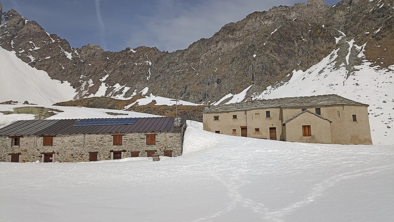
From the plateau of Pouillaye at 1626 m in the Valpelline near Bionaz, this demanding trail climbs to the Colle di Montagnaye at 2907 m — right on the Italian-Swiss border. With 1282 metres of ascent over 6.3 km, it is one of the most strenuous pass routes in the Valpelline. The path climbs through broad summer pastures where Valdostana cattle graze in season, then onto increasingly open, rocky terrain leading to the border ridge. From the col, views extend across both sides of the watershed, with the ridges of Valpelline and the Grand Combin group visible to the north. Rated E; good fitness, proper equipment and attention to seasonal conditions are essential.
Estacionamento
Galeria de fotos
Photos are published immediately. JPG/PNG/WebP, max 6 MB.
AEditado e verificado por Andrea Rama
Fonte dos dados: Catasto Sentieri Regione Autonoma VdA · Open data — DGR 899/2014
Última verificação:
Valpelline
Trilhos relacionados
Mesmo vale ou percursos semelhantes — mais caminhadas para descobrir.

Valpelline
Bionaz (Plan Praz) - Place Moulin
Upper Valpelline, Bionaz: an E-rated route toward a glacial objective over open terrain.

Valpelline
Chamin - Bivacco della Sassa
From Chamin (1,732 m) to the Bivacco della Sassa (2,964 m) in the quiet Valpelline: 7.1 km and 1,246 m of ascent.

Valpelline
Champillon - Rifugio Letey - Col Champillon
3.1 km · +643 m · E — from Champillon to Col Champillon (Valtournenche).

Valpelline
Chanté - Mont Saron
From Allein toward Valpelline across the panoramic ridge between the two valleys: an E-rated route over open pastures with views of the Gran San Bernardo.