High Route 1 — Stage 8: Rifugio Grand Tournalin → Valtournenche
Avisos
- Steep descent: trekking poles recommended
- Dew-wet grass on grassy sections in the morning
 1 / 2
1 / 28.7 km
+309 m
−1317 m
4.5 h
Nível físico
~2600 kcal estimadas
Mapa e percurso
Traço GPX oficial — Região Vale de Aosta / lovevda.it
Descrição
Pontos-chave
Partida
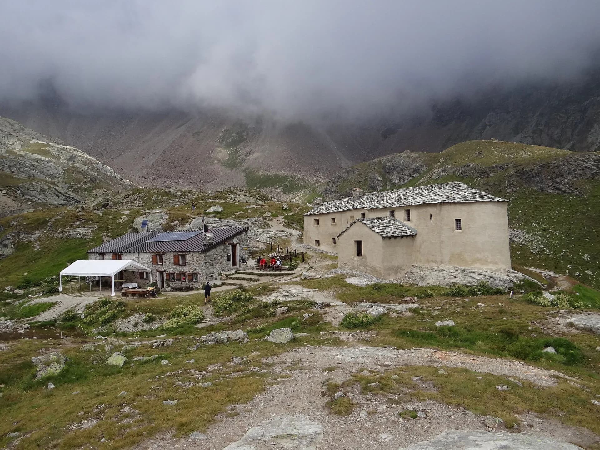
Rifugio Grand Tournalin · 2543 m
Chegada
Valtournenche · 1528 m
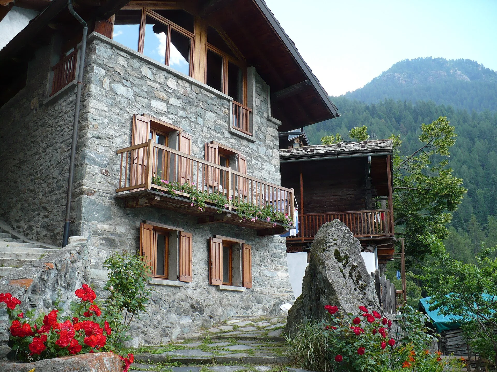
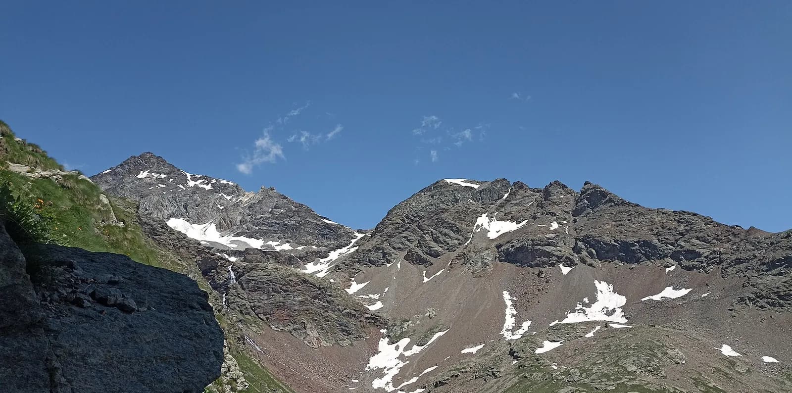
Stage eight is the longest descent in the central sequence of Alta Via 1: from Rifugio Grand Tournalin at 2535 metres the trail drops over a thousand metres to the valley floor of Valtournenche, the main village of the valley that hosts the Breuil-Cervinia ski resort above. The first descent section is steep on mixed terrain, with the Matterhorn accompanying almost every step. As altitude decreases the landscape shifts markedly: alpine scree and high pastures give way to larch and Norway spruce forest, rushing streams and roadside stone chapels. The trail reaches the plateau of Cheneil — a small highland with a spectacular balcony view over the entire valley — before the final descent to Valtournenche (1520 m). The village offers all necessary services: supermarkets, pharmacy, restaurants and hotels. The difficulty is rated E since the elevation change is almost entirely downhill with no technical sections. Trekking poles are strongly recommended, particularly on the initial steep stretch, to protect the knees. From Valtournenche a cable car ascends to Cervinia and the Swiss border at Plateau Rosà.
Pontos-chave
Rifugio Grand Tournalin
2535 m · 0 km from start
Stage start
Valtournenche
1520 m · 8.7 km from start
Stage finish, full services
Ciências da Terra
Geologia e paisagem
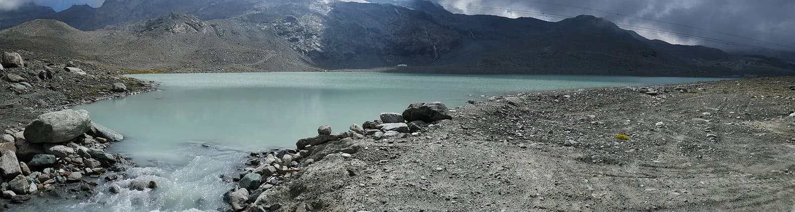
The descent from Tournalin crosses the eastern slope of the Matterhorn massif, composed of Penninic gneiss and calcschists with quartz and mica bands. Cheneil overlooks Würmian glacial deposits of the Valtournenche glacier with terminal moraines and fluvio-glacial terraces. Below 2000 m, ophiolite outcrops (serpentinites and metabasalts) typical of the upper Penninic stack appear. The Valtournenche valley floor shows recent alluvial deposits of the Marmore stream with pebbles of gneiss, limestone and serpentinite. Forested slopes display paleosols on decomposed glacial deposits. The Cignana dam (next stage) uses a natural basin on rebuilt Würmian moraines.
História e cultura
Valtournenche is the historic capital of the Matterhorn valley, with roadside chapels and mountaineering tradition linked to early Matterhorn ascents.
Pontos de água
Water at the hut and Valtournenche centre. Springs in the forest during descent.
Como chegar
VITA bus to Valtournenche and Cervinia. Valtournenche–Cervinia cable car for quick connection.
Cumes próximos
Refúgios e abrigos
Galeria de fotos
Photos are published immediately. JPG/PNG/WebP, max 6 MB.
Flora do trilho
Fauna para observar
Temas e características
Etapas adjacentes
AEditado e verificado por Andrea Rama
Fonte dos dados: Catasto Sentieri Regione VdA + AllTrails (8.7 km verificati) + thealps.com · Open data — DGR 899/2014
Última verificação:
Valtournenche
Trilhos relacionados
Mesmo vale ou percursos semelhantes — mais caminhadas para descobrir.
Valtournenche — Val Saint-Barthélemy
High Route 1 — Stage 10: Rifugio Jean Barmasse → Rifugio Oratorio di Cuney
The wild heart of the Alta Via: 17 km across Fenêtre de Tsan, Col Terray and on to Rifugio Oratorio di Cuney, with Matterhorn and Grand Combin dominating a horizon of 2700-metre passes.
Valtournenche — Valpelline
Tour of the Matterhorn — Stage 1: Breuil-Cervinia → Rifugio Prarayer
The Valcournera pass, a stern gateway to the Valpelline.
Valtournenche — Val d’Ayas
Tour Monte Rosa — Stage 9: Breuil-Cervinia → Saint-Jacques
The Cime Bianche valley, a natural bridge between the Matterhorn and Monte Rosa.

Valtournenche
Anello Area sportiva-Fiernaz-Area sportiva
2.9 km · +28 m · T — from Area sportiva to Area sportiva (Valtournenche).