Valtournenche — Val Saint-Barthélemy
High Route 1 — Stage 10: Rifugio Jean Barmasse → Rifugio Oratorio di Cuney
Avisos
- Most demanding AV1 stage: start at dawn
- Summer thunderstorms dangerous on exposed ridges
- Snow possible until August on passes
 1 / 4
1 / 417.1 km
+1397 m
−902 m
7 h
Nível físico
~4500 kcal estimadas
Mapa e percurso
Traço GPX oficial — Região Vale de Aosta / lovevda.it
Descrição
Pontos-chave
Partida
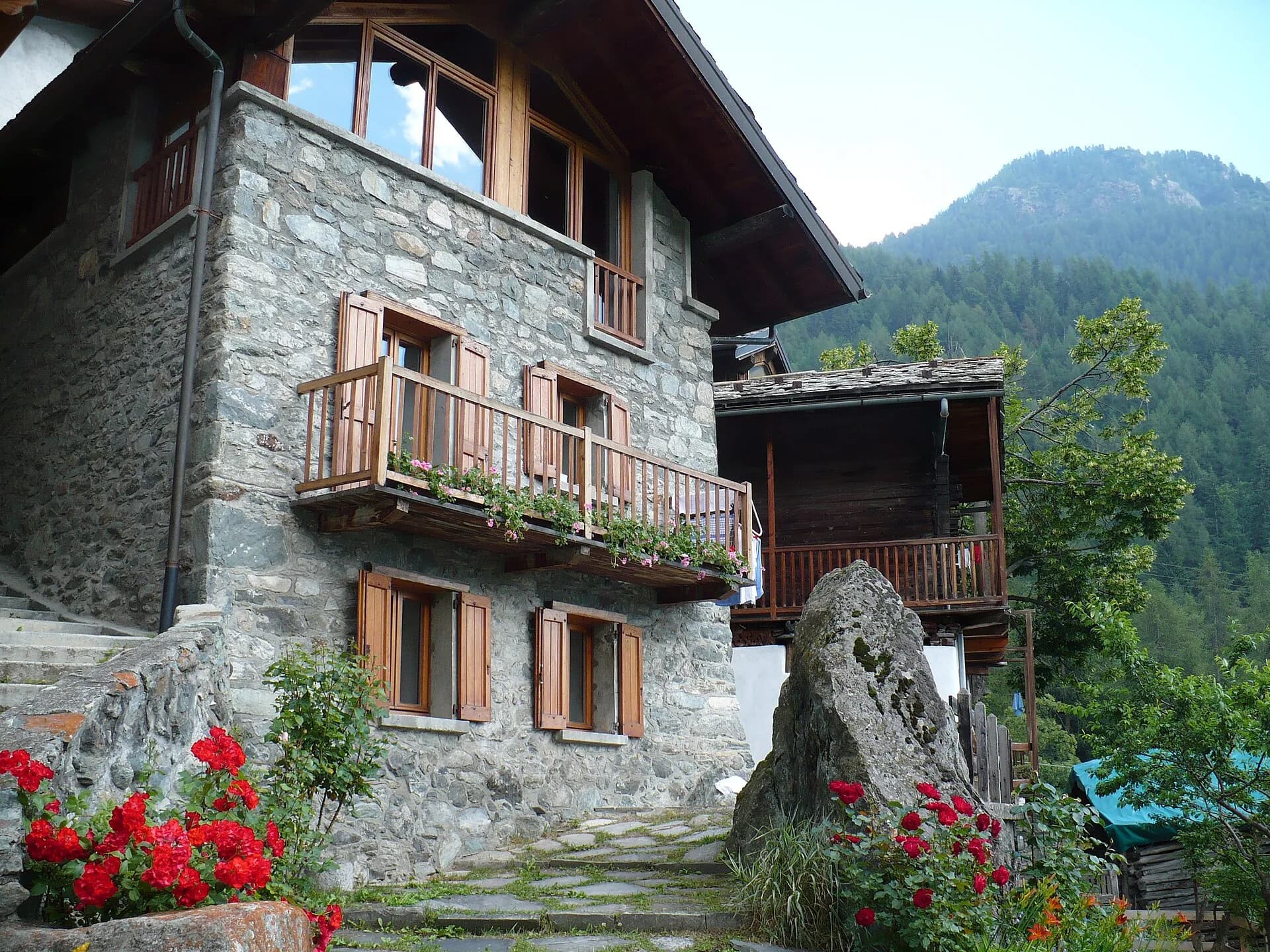
Rifugio Jean Barmasse · 2164 m
Chegada
Rifugio Oratorio di Cuney · 2653 m
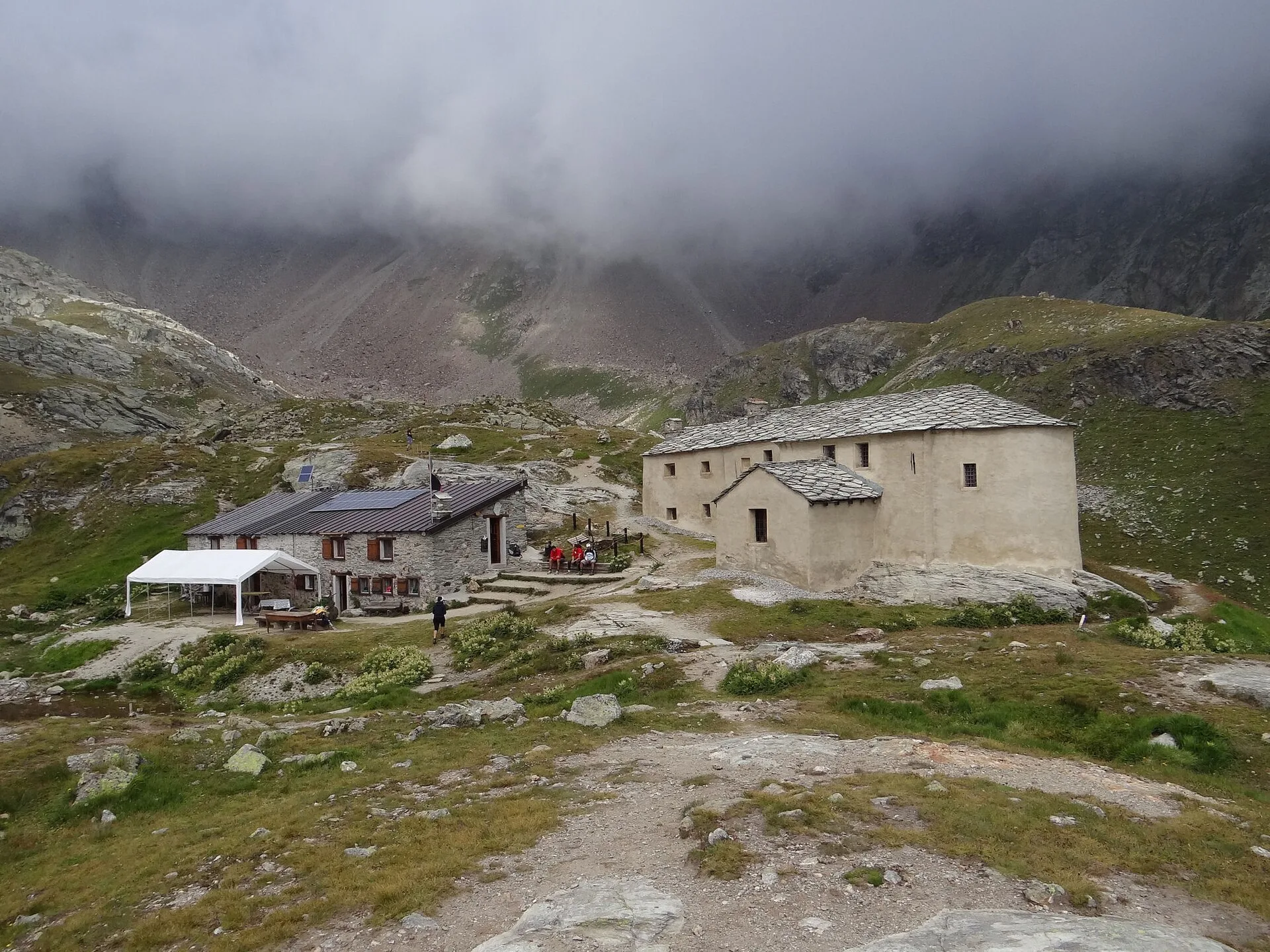
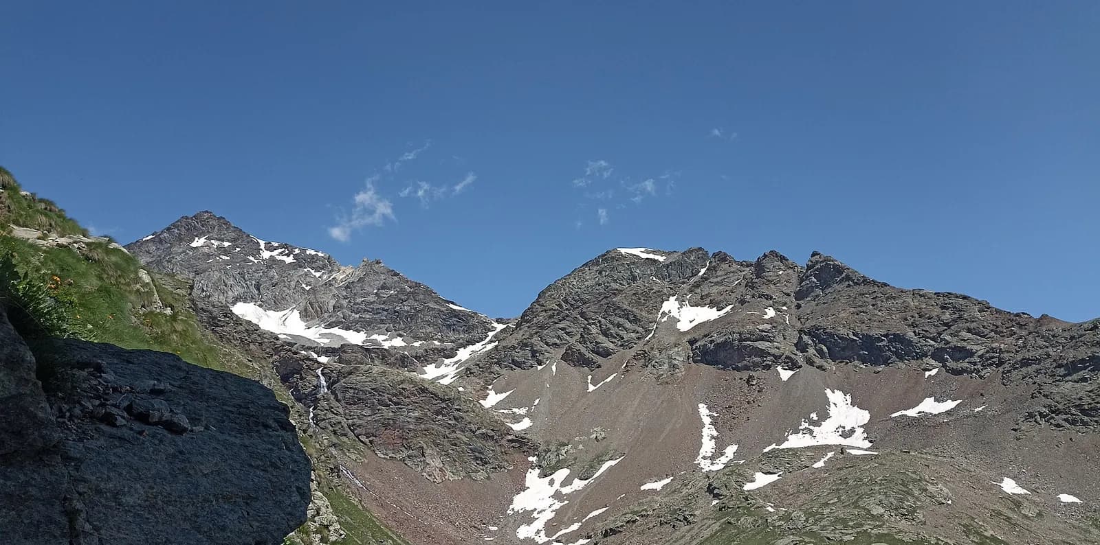
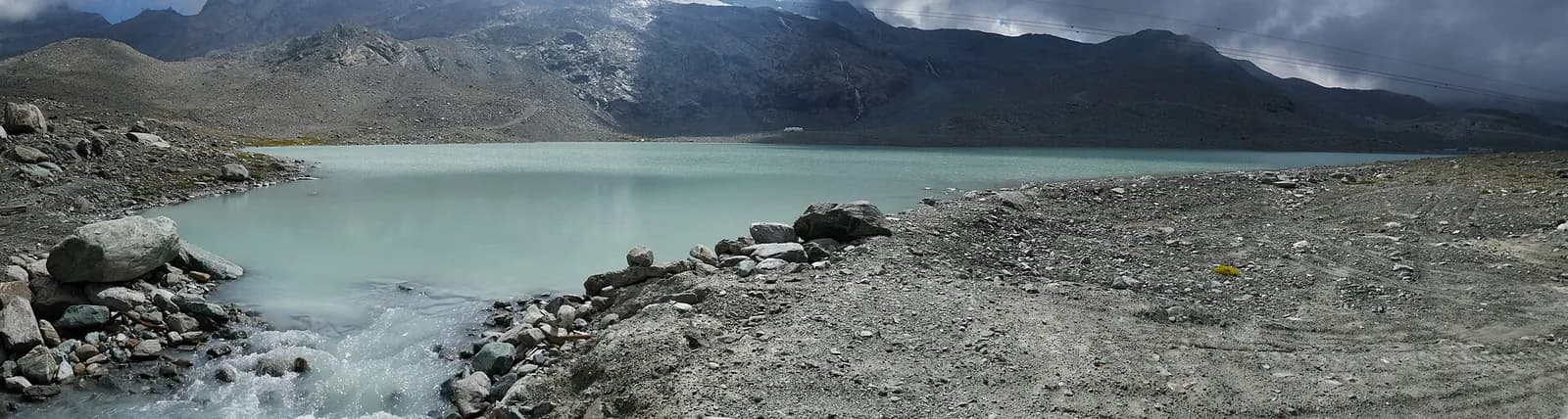
Stage ten is the wild heart of Alta Via 1: 17 kilometres of high mountain terrain between Valtournenche and Val Saint-Barthélemy, crossing three passes above 2700 metres in a succession of vast, silent landscapes. From Rifugio Barmasse the trail climbs to Fenêtre d'Ersa (2290 m), descends briefly before rising to Fenêtre de Tsan (2736 m) — one of the AV1's finest cols, with the Matterhorn to the east and Grand Combin to the west — then continues to Col Terray (2775 m) to complete the pass trilogy. A final long descent leads to Rifugio Oratorio di Cuney (2652 m), one of the most atmospheric overnight stops on the entire route. The hut stands beside the Sanctuary of Cuney, the highest Marian chapel in Europe, whose medieval altar has witnessed centuries of alpine devotion; every August a high mountain mass draws hundreds of the faithful. The stage demands an early start, adequate water supplies — very few sources along the high traverse — and constant weather awareness, as the exposed ridgelines offer little shelter from afternoon thunderstorms.
Pontos-chave
Rifugio Jean Barmasse
2157 m · 0 km from start
Stage start, last reliable water
Col Terray
2775 m · 12 km from start
Stage high point
Rifugio Oratorio di Cuney
2652 m · 17.1 km from start
Stage finish, beside the Marian sanctuary
Ciências da Terra
Geologia e paisagem
The traverse crosses the Penninic core with calcschists, micaschists and ophiolites (serpentinites, metamorphic gabbro, metabasalts) outcropping along Fenêtre de Tsan and Col Terray. These oceanic rocks, relics of the Alpine Tethys, contrast with Austroalpine augen gneiss on neighbouring ridges. Passes above 2700 m show periglacial deposits with active scree and solifluction. The Val Saint-Barthélemy slope displays Würmian moraines of the Tsan glacier with glacial tarns and lacustrine deposits. Erratic blocks of serpentinite and gneiss indicate multi-kilometre glacial transport. The descent toward Cuney crosses quartzites and phyllites with dolomitic limestone outcrops of the lower Penninic stack.
História e cultura
The Sanctuary of Cuney, Europe highest Marian chapel, hosts an alpine mass each August. Its medieval altar witnesses centuries of mountain devotion.
Pontos de água
Carry at least 2.5 litres. No reliable sources between Barmasse and Cuney. Water at Cuney hut.
Como chegar
No road access to the cols. Emergency descent via Torgnon or Valtournenche.
Cumes próximos
Refúgios e abrigos
Galeria de fotos
Photos are published immediately. JPG/PNG/WebP, max 6 MB.
Flora do trilho
Fauna para observar
Etapas adjacentes
AEditado e verificado por Andrea Rama
Fonte dos dados: Catasto Sentieri Regione VdA + AllTrails (17.1 km verificati) + hikr.org · Open data — DGR 899/2014
Última verificação:
Valtournenche — Val Saint-Barthélemy
Trilhos relacionados
Mesmo vale ou percursos semelhantes — mais caminhadas para descobrir.
Valtournenche
High Route 1 — Stage 8: Rifugio Grand Tournalin → Valtournenche
The great descent: from Rifugio Grand Tournalin losing over a thousand metres to the valley floor of Valtournenche, passing through the scenic plateau of Cheneil with Matterhorn views.
Valtournenche — Valpelline
Tour of the Matterhorn — Stage 1: Breuil-Cervinia → Rifugio Prarayer
The Valcournera pass, a stern gateway to the Valpelline.
Valtournenche — Val d’Ayas
Tour Monte Rosa — Stage 9: Breuil-Cervinia → Saint-Jacques
The Cime Bianche valley, a natural bridge between the Matterhorn and Monte Rosa.

Valtournenche
Anello Area sportiva-Fiernaz-Area sportiva
2.9 km · +28 m · T — from Area sportiva to Area sportiva (Valtournenche).