Tour of the Matterhorn — Stage 1: Breuil-Cervinia → Rifugio Prarayer
Avisos
- Snowfields possible on the passes until early July
- Check the weather: long high-altitude stages with few escape routes
- Book overnight stops in peak season
 1 / 2
1 / 218.2 km
+1418 m
−1589 m
10.5 h
Nível físico
Mapa e percurso
Traço GPX — verifique no terreno antes de caminhar
Descrição
Pontos-chave
Partida
Breuil-Cervinia · 2001 m
Chegada
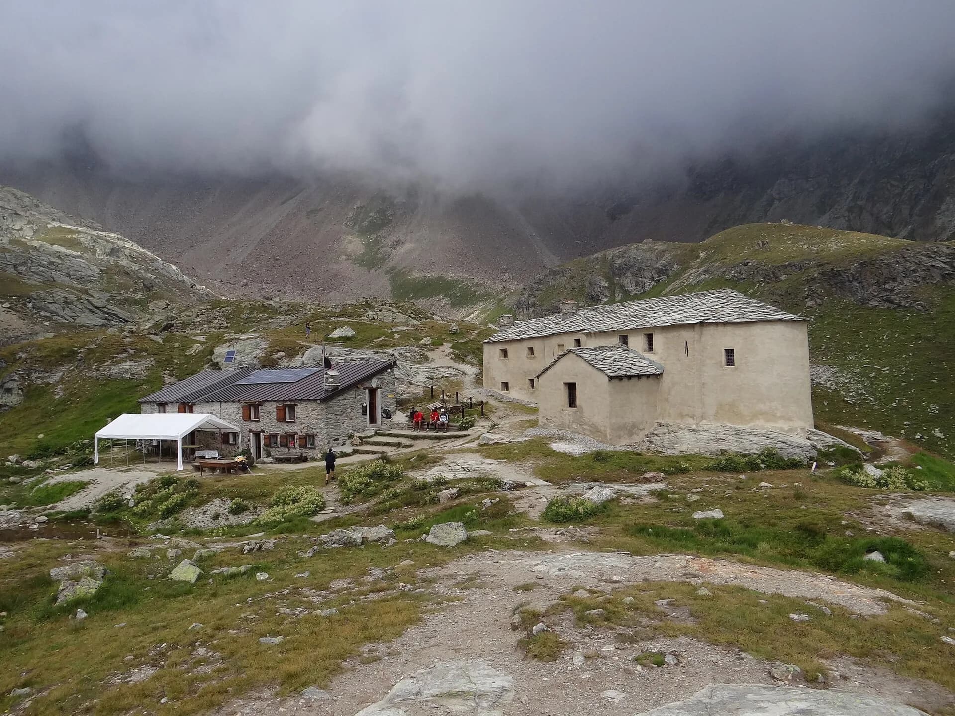
Rifugio Prarayer · 1996 m
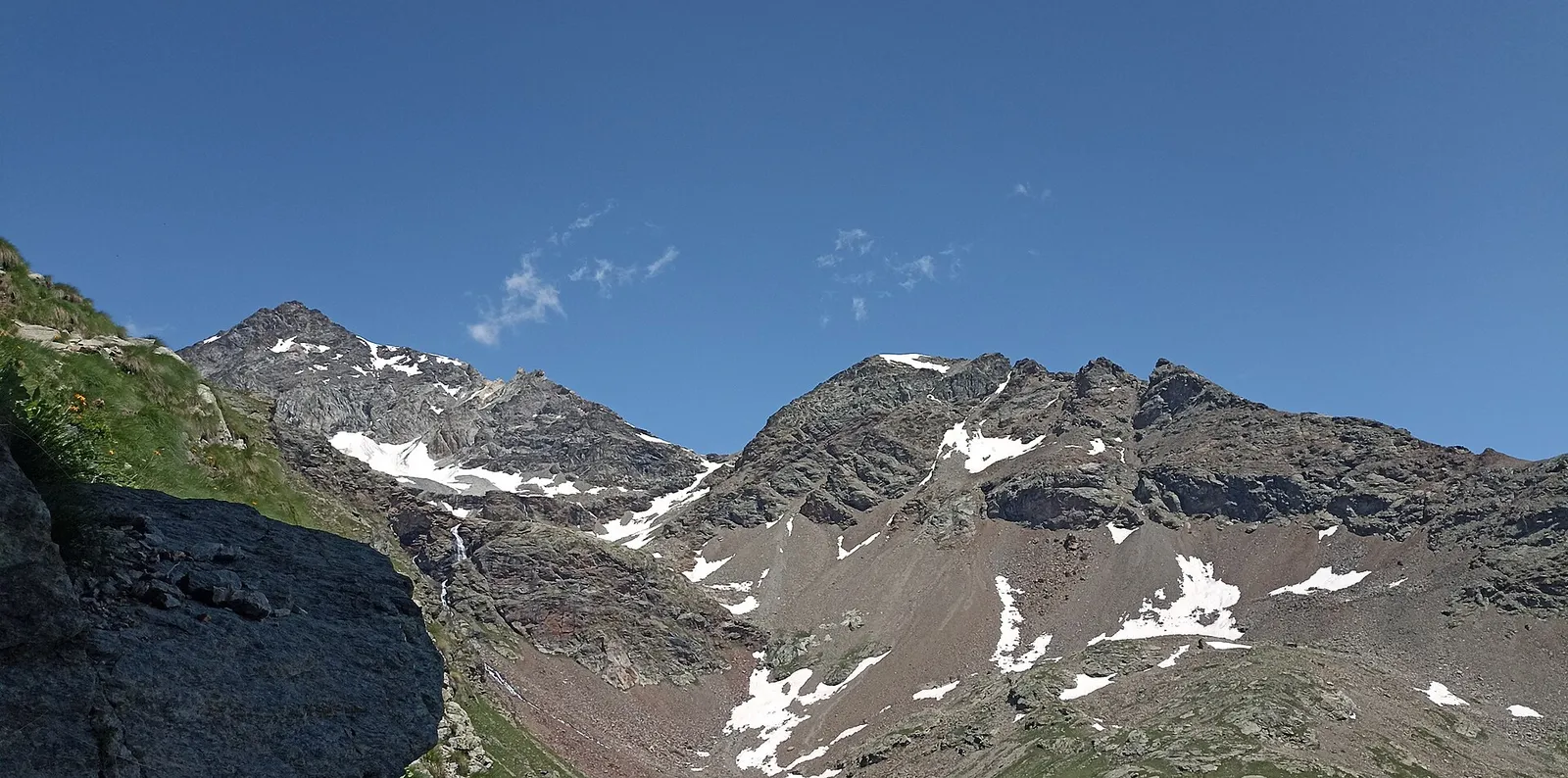
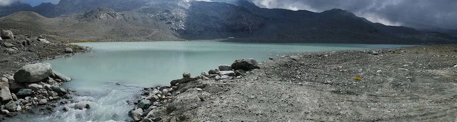
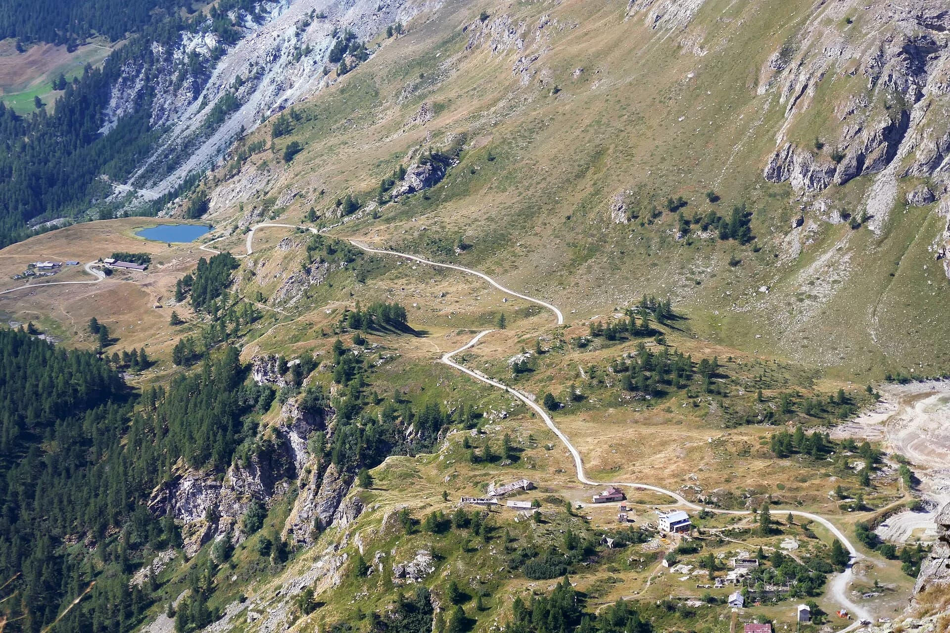
From Breuil-Cervinia climb via the Vofrède valley and the Cignana lakes to the Valcournera pass (3,072 m), a demanding crossing on Alta Via 1. The descent, steep and equipped at first, leads to the Prarayer basin (2,005 m) at the head of the Place Moulin lake.
The start sets the tone: from Breuil you climb to the Cignana plateau, with its dam and cobalt lake, then the path enters the wild Vofrède valley, where only marmots break the silence. The Valcournera pass keeps you honest to the end — the final section is equipped with fixed ropes and steps on rocky ground: nothing extreme, but sure feet are needed. Beyond the col you descend past the Bellatsà lakes and down the valley to the Prarayer plain, where the refuge overlooks Place Moulin, the region’s most scenic reservoir.
Pontos-chave
Col di Valcournera
3072 m · 12.5 km from start
Ciências da Terra
Geologia e paisagem
The Matterhorn is the world’s most famous textbook of Alpine geology: its pyramid is a sliver of African continental crust (Dent Blanche nappe, Arolla and Valpelline gneisses) resting on the green ophiolites of the Piedmont-Liguria ocean, visible at its base. The tour walks along this very suture: serpentinites and calcschists in the Cignana and Valcournera valleys, brown gneisses above Zermatt and Arolla.
História e cultura
Below Lake Cignana, the Valcournera site yielded one of Europe’s highest copper mining deposits, exploited as early as the Bronze Age.
Pontos de água
Water at the stage's support points (Breuil-Cervinia, Rifugio Prarayer). On the high ground and at the passes springs are not guaranteed: fill bottles in the valley and at the huts.
Como chegar
Aosta Valley side served by VITA buses and connections from Aosta; many valley heads have summer shuttles. Check seasonal timetables at arriva.it / vita-vda.com.
Estacionamento
Refúgios e abrigos
Galeria de fotos
Photos are published immediately. JPG/PNG/WebP, max 6 MB.
Etapas adjacentes
AEditado e verificado por Andrea Rama
Fonte dos dados: Tour del Cervino / Tour du Cervin — itinerario internazionale · Traccia calcolata su rete sentieri OpenStreetMap (ODbL); verificare sul terreno
Última verificação:
Valtournenche — Valpelline
Trilhos relacionados
Mesmo vale ou percursos semelhantes — mais caminhadas para descobrir.
Valtournenche — Val d’Ayas
Tour Monte Rosa — Stage 9: Breuil-Cervinia → Saint-Jacques
The Cime Bianche valley, a natural bridge between the Matterhorn and Monte Rosa.
Valtournenche — Val Saint-Barthélemy
High Route 1 — Stage 10: Rifugio Jean Barmasse → Rifugio Oratorio di Cuney
The wild heart of the Alta Via: 17 km across Fenêtre de Tsan, Col Terray and on to Rifugio Oratorio di Cuney, with Matterhorn and Grand Combin dominating a horizon of 2700-metre passes.
Valtournenche
High Route 1 — Stage 8: Rifugio Grand Tournalin → Valtournenche
The great descent: from Rifugio Grand Tournalin losing over a thousand metres to the valley floor of Valtournenche, passing through the scenic plateau of Cheneil with Matterhorn views.
Valtournenche
High Route 1 — Stage 9: Valtournenche → Rifugio Jean Barmasse
The shortest stage on the entire AV1: 4.7 km of sustained climbing from Valtournenche to Rifugio Jean Barmasse on the shores of Lago di Cignana, in preparation for the hardest day ahead.