High Route 1 — Stage 11: Rifugio Oratorio di Cuney → Oyace
Avisos
- Equipped sections on exposed rock: gloves advised
- Long descent after the pass: start early
- Check weather again before Col Vessonaz
 1 / 2
1 / 215 km
+504 m
−1759 m
5.5 h
Nível físico
~3900 kcal estimadas
Mapa e percurso
Traço GPX oficial — Região Vale de Aosta / lovevda.it
Descrição
Pontos-chave
Partida
Rifugio Oratorio di Cuney · 2653 m
Chegada
Oyace · 1367 m
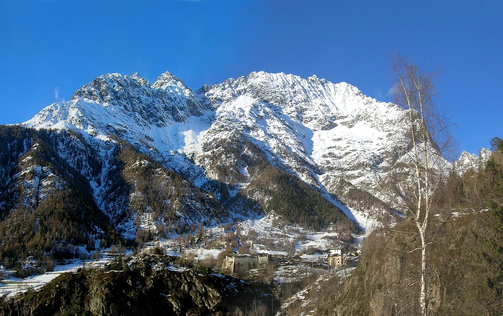
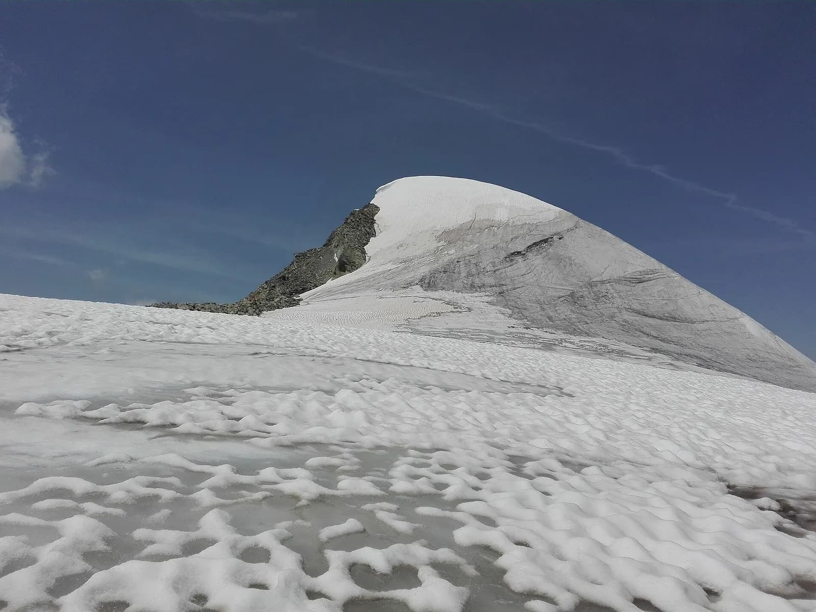
Stage eleven brings the Alta Via 1 down from the high central section — Rifugio Oratorio di Cuney at 2652 m — to the Valpelline valley floor at Oyace, crossing exposed ridges and solitary pastures in a long descent losing nearly 1400 metres. Despite a modest positive gain of just 504 m, the stage earns its EE rating from short sections of scrambling on exposed rock and from the cumulative physical demand added to already-tired legs. The route tackles Col Chaleby (2653 m) and Col de Vessonaz (2793 m) — the stage's highest point — before the lengthy descent to Oyace unwinds on mixed terrain through sustained switchbacks. The Valpelline is one of the least visited and most untouched valleys in the Aosta region: no ski resorts, minimal tourist infrastructure, many active summer farms. Oyace (1397 m) is a small village with basic services and a regional bus connection to Aosta. An early departure before 7 AM is advised to reach Oyace in early afternoon and tackle the scramble sections with fresh energy.
Pontos-chave
Rifugio Oratorio di Cuney
2652 m · 0 km from start
Stage start
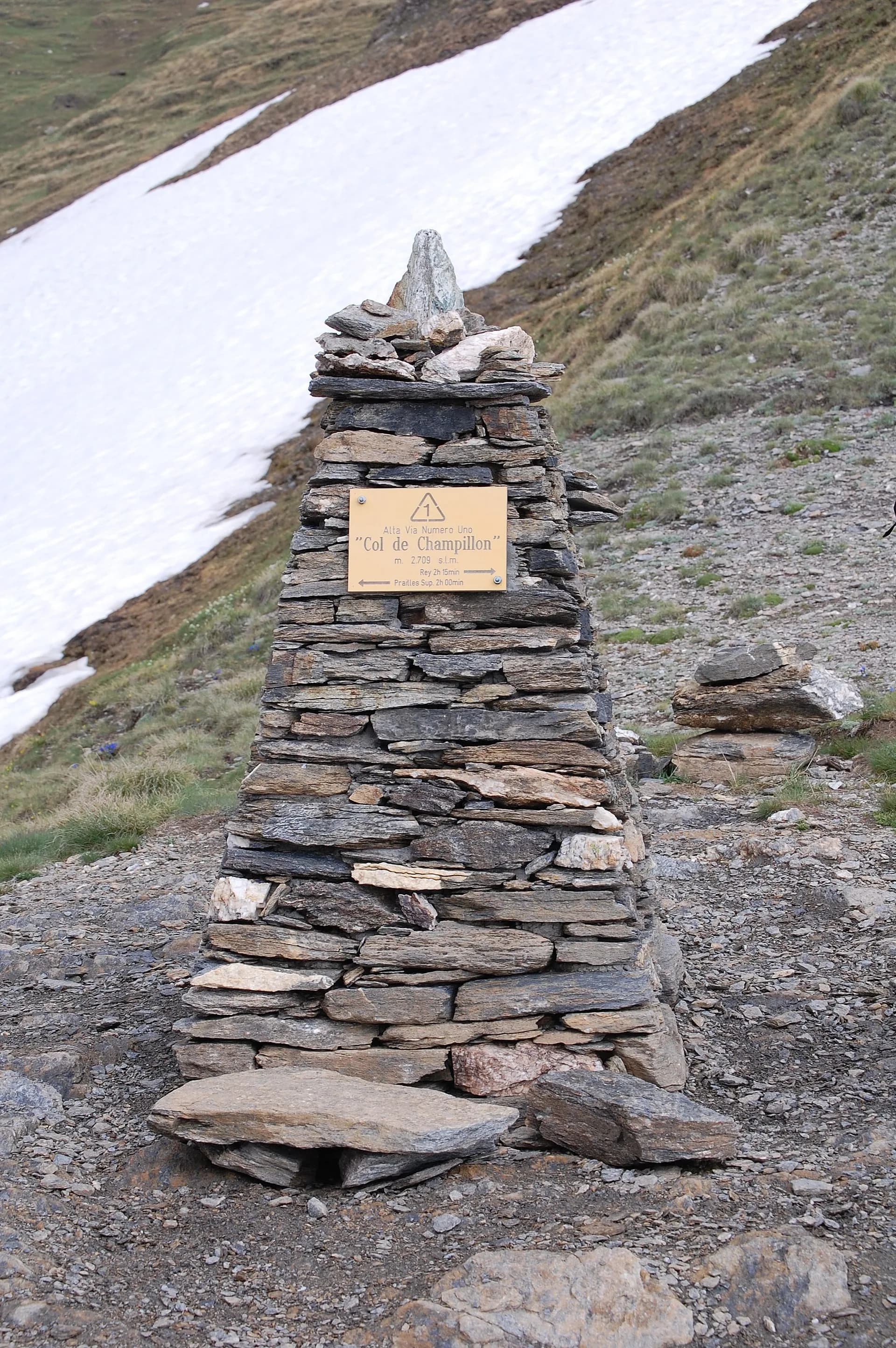
Col de Vessonaz
2793 m · 6.5 km from start
Stage high point, short equipped sections
Ciências da Terra
Geologia e paisagem
The descent toward Oyace crosses the Penninic stack with calcschists, micaschists and ophiolites (serpentinites and metabasalts) along Col de Vessonaz. Oceanic rocks show hydrothermal alteration with fibrous minerals to avoid. The Valpelline slope displays Würmian glacial deposits of the By glacier with rebuilt moraines and fluvio-glacial terraces. Below 2000 m, Austroalpine augen gneiss outcrops with quartz bands and chloritic phyllites. Colluvial deposits and active landslides indicate instability on steep slopes. The Oyace valley floor develops on alluvial deposits of the Buthier stream with pebbles of gneiss, serpentinite and limestone.
História e cultura
Oyace is one of the smallest municipalities in Valpelline, with dairy tradition and active summer farms. The valley is among the least developed in the region.
Pontos de água
Water at Cuney hut. Carry supplies for the high traverse. Fountain in Oyace centre.
Como chegar
VITA bus to Oyace from Aosta via Valpelline (limited schedule).
Cumes próximos
Refúgios e abrigos
Galeria de fotos
Photos are published immediately. JPG/PNG/WebP, max 6 MB.
Flora do trilho
Fauna para observar
Temas e características
Etapas adjacentes
AEditado e verificado por Andrea Rama
Fonte dos dados: Catasto Sentieri Regione VdA + AllTrails (15.0 km verificati, tratti attrezzati segnalati) · Open data — DGR 899/2014
Última verificação:
Valpelline
Trilhos relacionados
Mesmo vale ou percursos semelhantes — mais caminhadas para descobrir.
Valpelline — Conca di By
High Route 1 — Stage 13: Ollomont → Rifugio Champillon
From Ollomont to Rifugio Champillon in the Conca di By: 1000 m of climbing through forests and summer farms to one of the AV1's most distinctive huts, complete with mountain sauna and yurt.
Valpelline — Val d’Hérens
Tour of the Matterhorn — Stage 2: Rifugio Prarayer → Arolla
The Col Collon: an alpine transfer over the glacier, as in the Middle Ages.
Valpelline — Valle del Gran San Bernardo
Tour des Combins — Stage 1: Ollomont → Saint-Rhémy-en-Bosses
From the By basin to the Col Champillon, on the Tour des Combins line.

Valpelline
Bionaz (Plan Praz) - Place Moulin
Upper Valpelline, Bionaz: an E-rated route toward a glacial objective over open terrain.