High Route 1 — Stage 13: Ollomont → Rifugio Champillon
Avisos
- Sustained climb with almost no flat sections
- Book the hut in July–August
 1 / 2
1 / 29.5 km
+1070 m
−40 m
3.5 h
Nível físico
~3000 kcal estimadas
Mapa e percurso
Traço GPX oficial — Região Vale de Aosta / lovevda.it
Descrição
Pontos-chave
Partida
Ollomont · 1379 m
Chegada
Rifugio Champillon · 2420 m
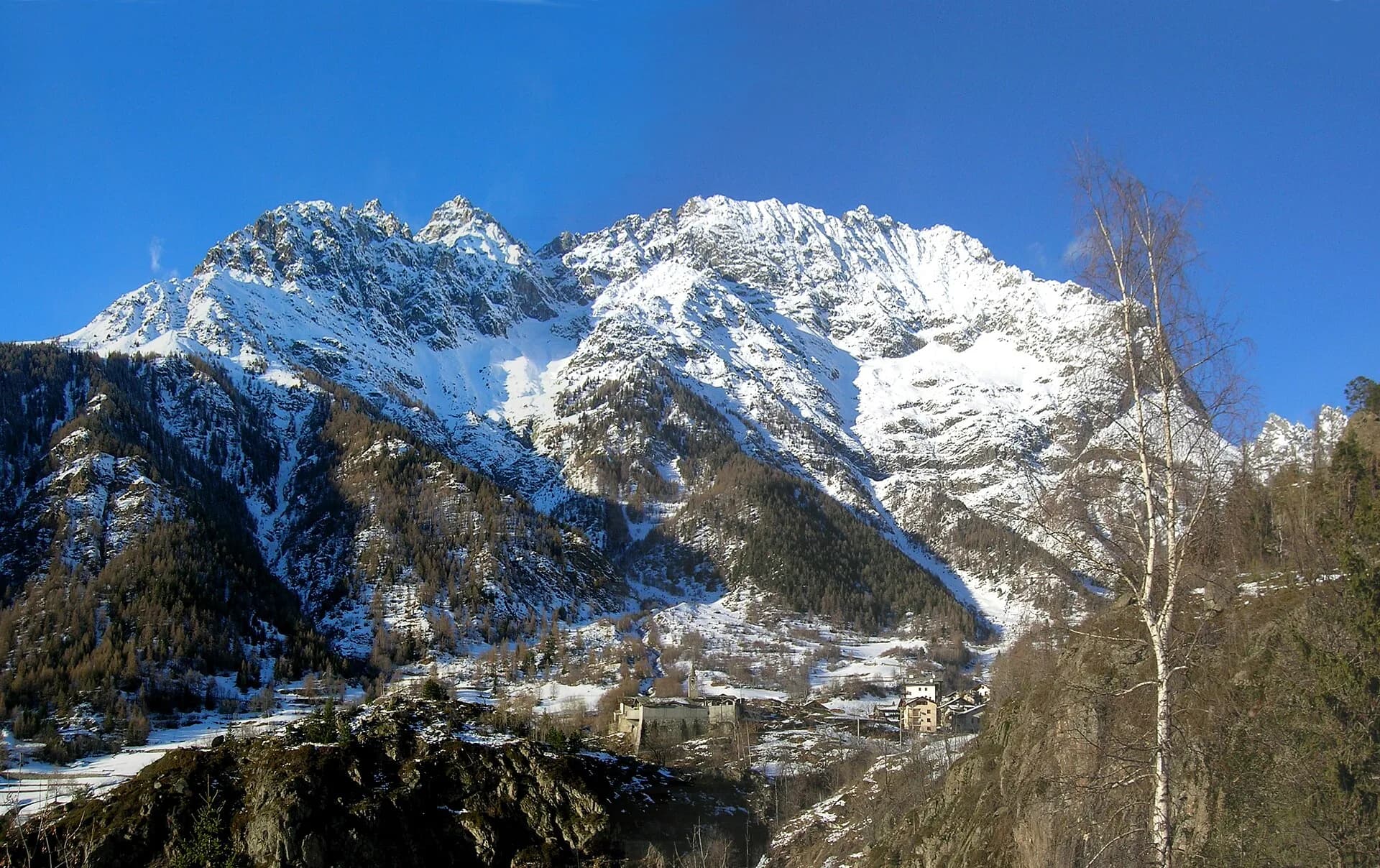
Stage thirteen is the first of the final sequence steering the Alta Via 1 toward the Mont Blanc massif: from Ollomont the trail climbs over 1000 metres to Rifugio Champillon in the Conca di By, one of the most unspoiled landscapes in the entire Aosta Valley. The route departs from the hamlet of Rey, threads through a larch and Scots pine forest on quite steep sections, reaches the summer farms of Prumayes (1621 m) and continues on a well-marked path toward the Champillon meadows. The small chapel of Notre-Dame-des-Neiges at approximately 2300 m is the spiritual landmark of this stretch and deserves a quiet stop. Rifugio Champillon (2465 m), in the Conca di By at the foot of Col Champillon, is a distinctive hut: a sauna with Alpine views, a yurt on the lawn, and a young, informal atmosphere. Dormitory accommodation and wild camping in the surrounding meadow are both available depending on preference and season. The stage is short in kilometres but the unrelenting positive elevation — with almost no flat sections — demands trained legs and a steady rhythm.
Pontos-chave
Ollomont
1393 m · 0 km from start
Start from Rey hamlet
Notre-Dame-des-Neiges
2300 m · 6.5 km from start
Votive chapel at 2300 m
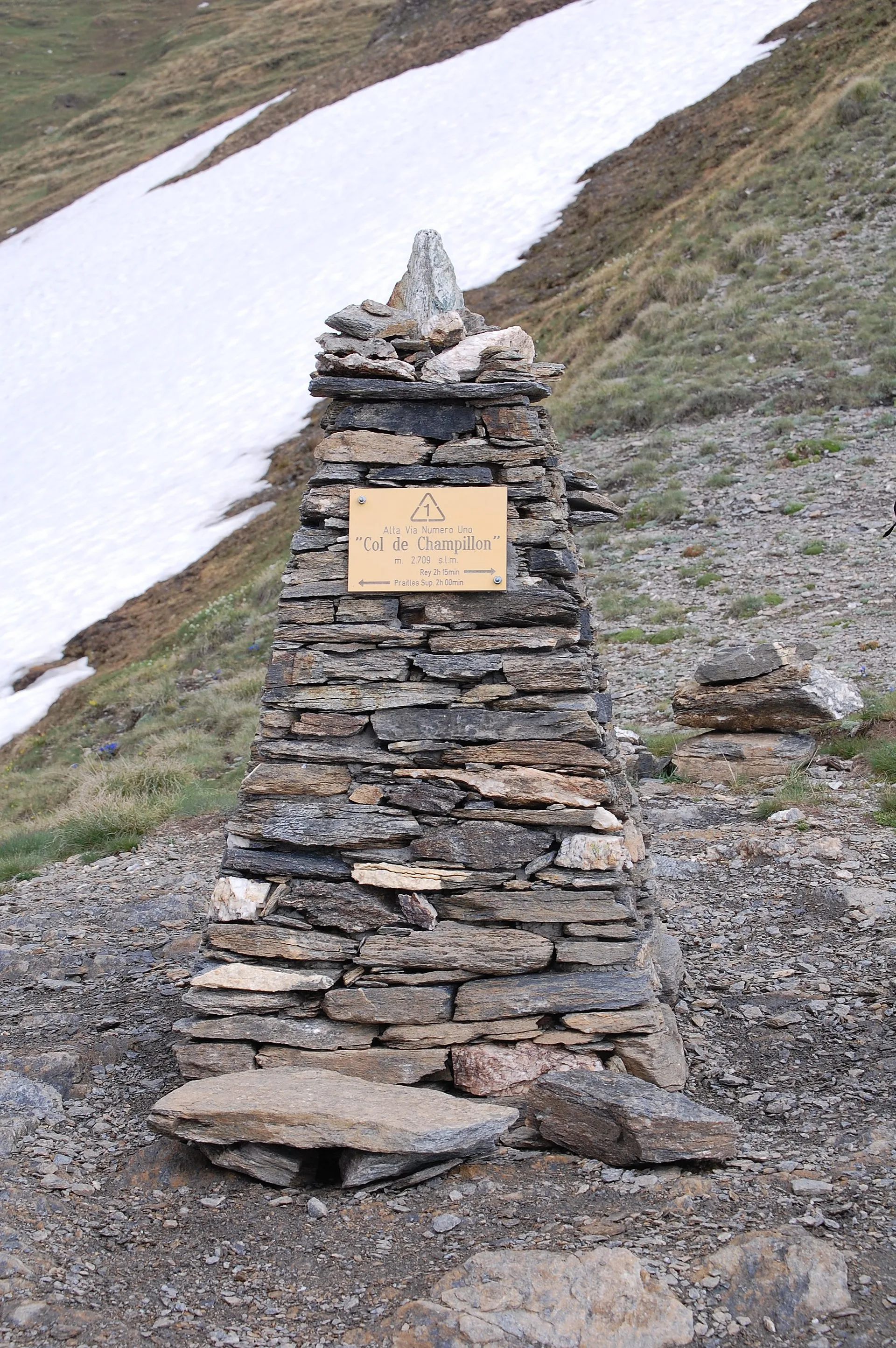
Rifugio Champillon
2465 m · 9.5 km from start
Stage finish, Conca di By
Ciências da Terra
Geologia e paisagem
The climb into Conca di By crosses augen gneiss and micaschists of the Austroalpine basement with quartz and garnet bands. Notre-Dame-des-Neiges chapel stands on Würmian glacial deposits with rebuilt moraines and lacustrine sediments. Above 2200 m, quartzites and chloritic phyllites appear with quartz-feldspar pegmatites. Rifugio Champillon sits on a plateau shaped by periglacial deposits with scree and active solifluction. Toward Col Champillon (next stage), calcschists and marbles of the lower Penninic stack appear. Colluvial deposits and historic landslides indicate instability on forested slopes below Prumayes.
História e cultura
Conca di By is an intact pastoral landscape with active summer farms. Rifugio Champillon is known for its yurt and alpine-view sauna.
Pontos de água
Fountain in Ollomont. Springs at Prumayes. Water at Rifugio Champillon.
Como chegar
VITA bus to Ollomont from Aosta. Trail access from Rey hamlet.
Cumes próximos
Refúgios e abrigos
Galeria de fotos
Photos are published immediately. JPG/PNG/WebP, max 6 MB.
Flora do trilho
Fauna para observar
Temas e características
Etapas adjacentes
AEditado e verificado por Andrea Rama
Fonte dos dados: Catasto Sentieri Regione VdA + thealps.com + gulliver.it (km stimati, non verificati da GPS indipendente) · Open data — DGR 899/2014
Última verificação:
Valpelline — Conca di By
Trilhos relacionados
Mesmo vale ou percursos semelhantes — mais caminhadas para descobrir.
Valpelline
High Route 1 — Stage 11: Rifugio Oratorio di Cuney → Oyace
From the Sanctuary of Cuney to the Valpelline: a long descent over exposed ridges with short scramble sections, ending at Oyace in the heart of the Aosta Valley's most untouched valley.
Valpelline — Val d’Hérens
Tour of the Matterhorn — Stage 2: Rifugio Prarayer → Arolla
The Col Collon: an alpine transfer over the glacier, as in the Middle Ages.
Valpelline — Valle del Gran San Bernardo
Tour des Combins — Stage 1: Ollomont → Saint-Rhémy-en-Bosses
From the By basin to the Col Champillon, on the Tour des Combins line.

Valpelline
Bionaz (Plan Praz) - Place Moulin
Upper Valpelline, Bionaz: an E-rated route toward a glacial objective over open terrain.