High Route 1 — Stage 14: Rifugio Champillon → Saint-Rhémy-en-Bosses
Avisos
- Long descent: poles useful
- Detour to Great Saint Bernard Pass requires extra time
 1 / 2
1 / 214 km
+522 m
−1324 m
5.5 h
Nível físico
~3200 kcal estimadas
Mapa e percurso
Traço GPX oficial — Região Vale de Aosta / lovevda.it
Descrição
Pontos-chave
Partida
Rifugio Champillon · 2420 m
Chegada
Saint-Rhémy-en-Bosses · 1613 m
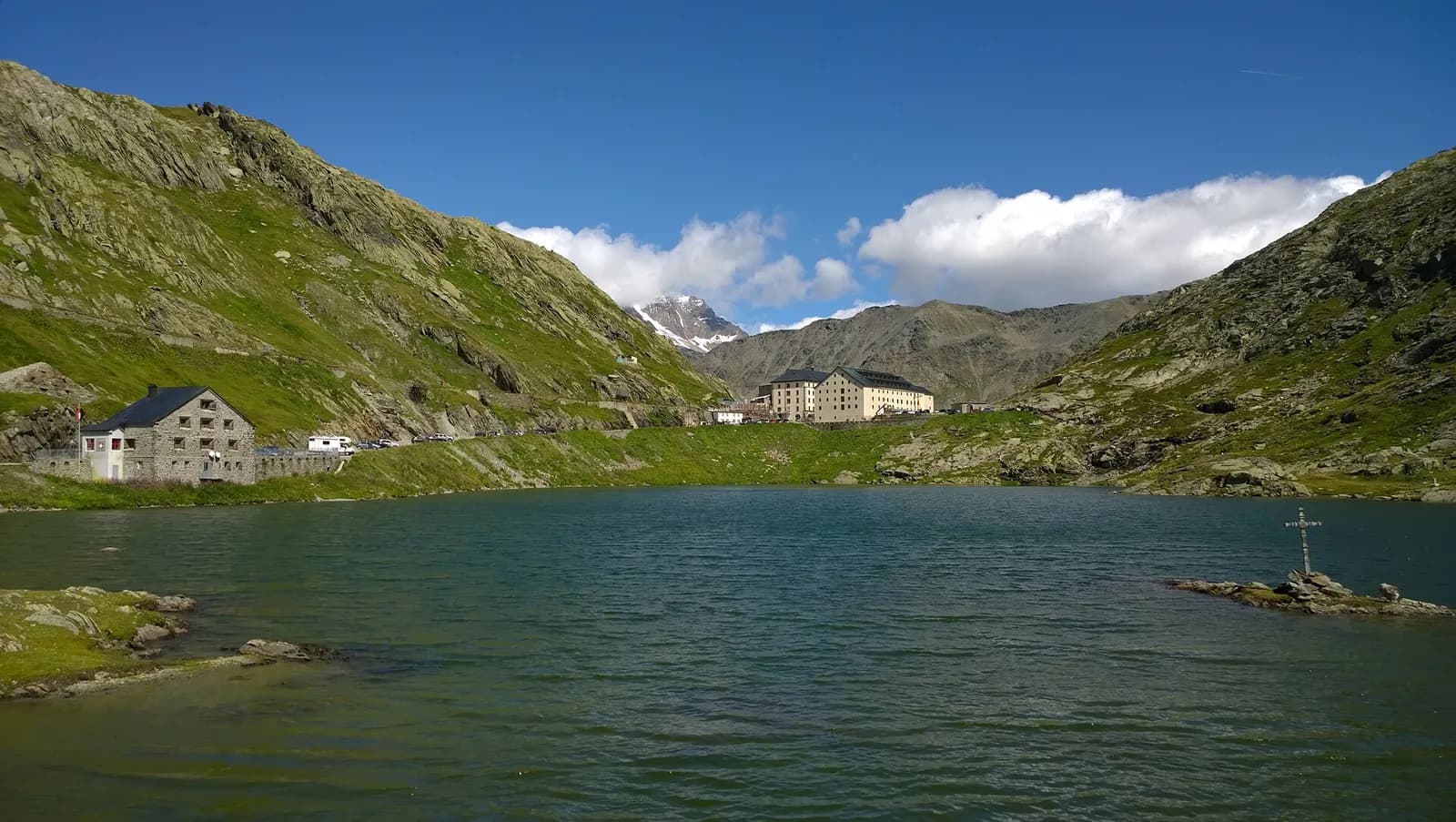
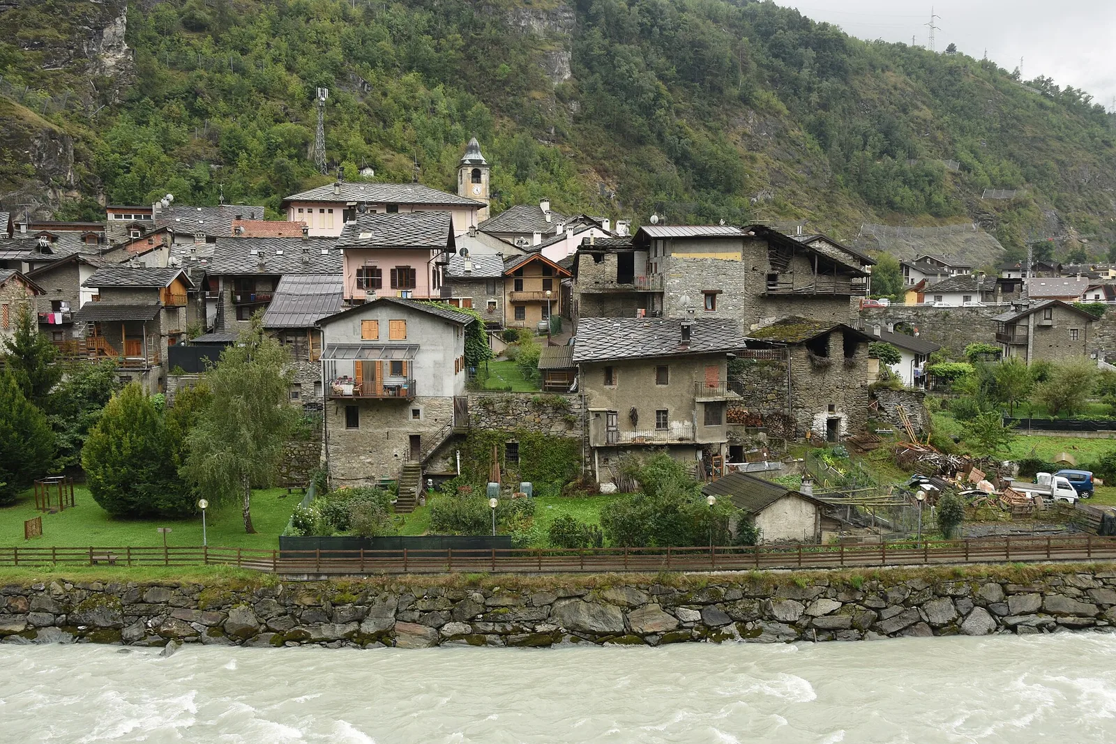
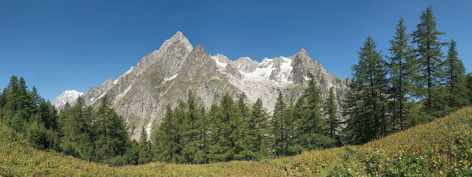
Stage fourteen carries the Alta Via 1 from Rifugio Champillon to the upper Grand Saint-Bernard valley, one of the great historic communication routes between Italy and Switzerland. From the hut a short final climb reaches Col Champillon (2709 m), a broad grassy pass from which the panorama sweeps exceptionally: Mont Blanc to the west, Gran Paradiso to the east, Grand Combin to the north. The descent to Saint-Rhémy-en-Bosses is long — over 1100 metres — but follows a solid, well-signed path throughout, crossing high pastures before dropping through mixed forest to the valley floor. Saint-Rhémy-en-Bosses (1600 m) is a quiet village on the historic Great Saint Bernard road, with full services and a small museum dedicated to the pass and its famous Saint Bernard dogs. Walkers with remaining energy can make a short detour to Col du Grand Saint-Bernard (2473 m) and visit the hospice that has welcomed travellers for centuries. The stage is rated E with no technical difficulties.
Pontos-chave
Rifugio Champillon
2465 m · 0 km from start
Stage start
Saint-Rhémy-en-Bosses
1600 m · 14 km from start
Stage finish, Great Saint Bernard valley
Ciências da Terra
Geologia e paisagem
Col Champillon opens onto Austroalpine augen gneiss and micaschists with quartzite and mica phyllite outcrops. The descent toward Saint-Rhémy crosses Würmian glacial deposits of the By glacier with terminal moraines and fluvio-glacial terraces. Below 2200 m, calcschists and marbles of the lower Penninic stack appear with quartz and calcite bands. The Great Saint Bernard valley floor shows alluvial deposits of the Artanavaz stream with pebbles of gneiss, marble and limestone. Forested slopes display paleosols on decomposed glacial deposits. Distantly to the west, ultrabasic Penninic units (ophiolites) outcrop in Valpelline.
História e cultura
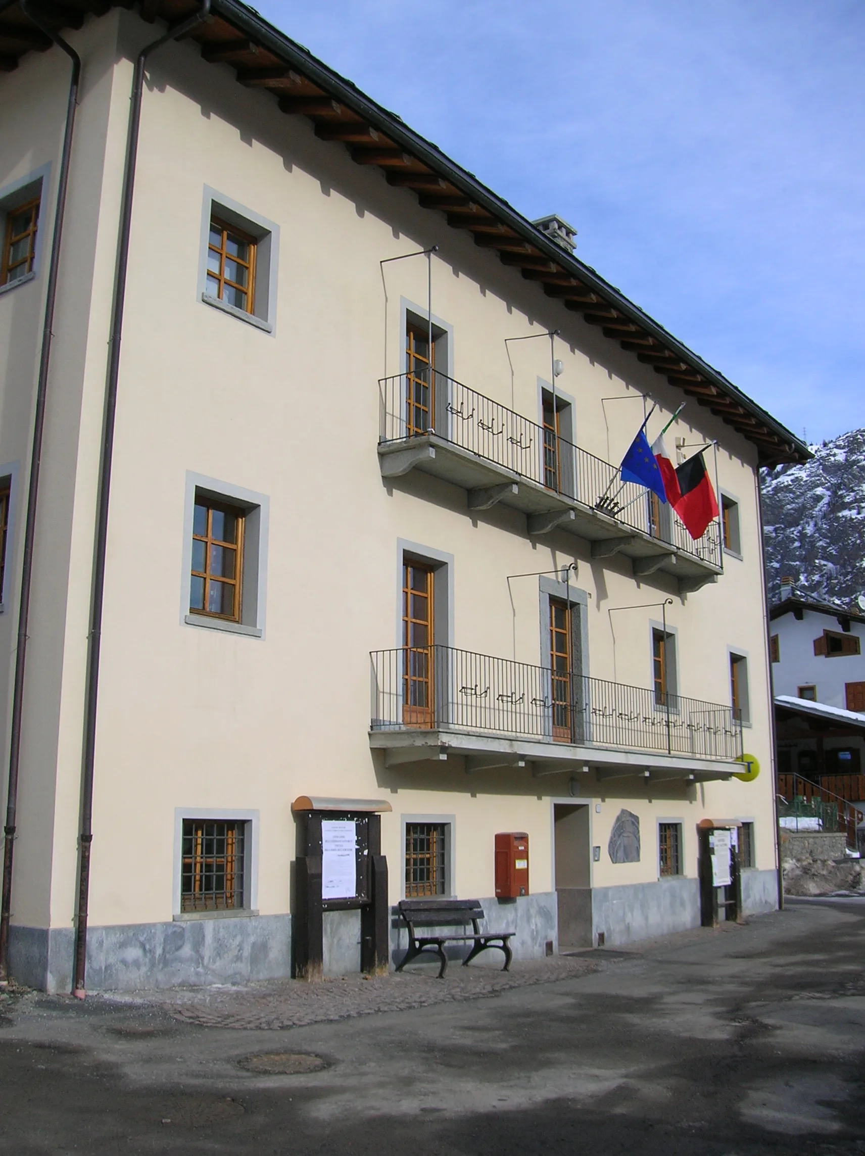
Saint-Rhémy-en-Bosses stands on the ancient Great Saint Bernard route, used by Romans and pilgrims. The local museum documents the hospice and Saint Bernard dogs history.
Pontos de água
Water at the hut. Springs during descent. Services in Saint-Rhémy.
Como chegar
VITA bus to Saint-Rhémy from Aosta. Great Saint Bernard road accessible in summer.
Cumes próximos
Refúgios e abrigos
Galeria de fotos
Photos are published immediately. JPG/PNG/WebP, max 6 MB.
Flora do trilho
Fauna para observar
Temas e características
Etapas adjacentes
AEditado e verificado por Andrea Rama
Fonte dos dados: Catasto Sentieri Regione VdA + thealps.com (D+/D− verificati) · Open data — DGR 899/2014
Última verificação:
Valle del Gran San Bernardo
Trilhos relacionados
Mesmo vale ou percursos semelhantes — mais caminhadas para descobrir.
Valle del Gran San Bernardo — Val d’Entremont
Tour des Combins — Stage 2: Saint-Rhémy-en-Bosses → Bourg-Saint-Pierre
The Great St Bernard, two thousand years of history on foot.
Valle del Gran San Bernardo
Allein - Mont Saron
From Allein village, the climb to Mont Saron crosses forest, alpine pastures and a summit ridge on the watershed between Gran San Bernardo and Valpelline: 1434 m ascent for fit hikers.
Valle del Gran San Bernardo
Ayez - Genevrey
2.9 km · +477 m · E — from Ayez to Genevrey (Great St Bernard Valley).
Valle del Gran San Bernardo
Bivio strada sterrata per Jovençan - Lacs de Dziule
From Jovençan track junction (1855 m) to the glacial Lacs de Dziule (2553 m) in upper Valdigne: 5.8 km, +702 m. Open cirque scenery. E.