Bivio strada sterrata per Jovençan - Lacs de Dziule
5.8 km
+702 m
−0 m
3 h
Nível físico
Mapa e percurso
Traço GPX — verifique no terreno antes de caminhar
Descrição
Pontos-chave
Partida
Bivio str sterr per Jovençan · 1855 m
Chegada
Lacs de Dziule · 2553 m
Trilho
S10
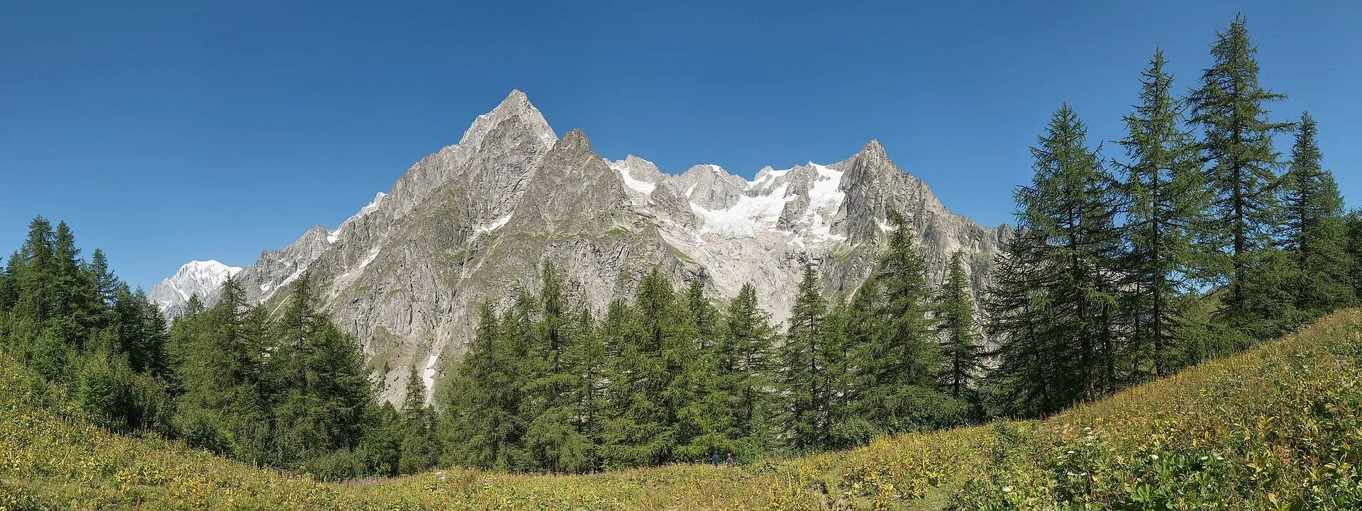
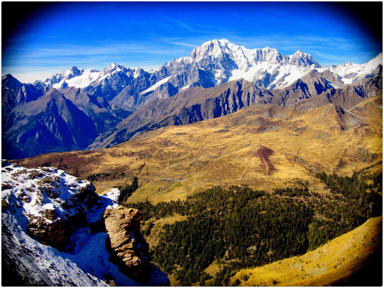
Departing from a junction on the Jovençan forest track at 1855 m in the upper Valdigne, La Salle, this trail climbs steadily for 5.8 km and 702 metres of elevation to reach the Lacs de Dziule at 2553 m. The lakes are classic glacial cirque tarns, shaped by Quaternary glacier retreat: still waters, rocky shores, sparse vegetation. The landscape is open and austere, framed by the ridges dividing Valdigne from adjacent valleys. Rated E, it suits hikers with solid mountain experience.
Estacionamento
Galeria de fotos
Photos are published immediately. JPG/PNG/WebP, max 6 MB.
Flora do trilho
Fauna para observar
AEditado e verificado por Andrea Rama
Fonte dos dados: Catasto Sentieri Regione Autonoma VdA · Open data — DGR 899/2014
Última verificação:
Valle del Gran San Bernardo
Trilhos relacionados
Mesmo vale ou percursos semelhantes — mais caminhadas para descobrir.
Valle del Gran San Bernardo
Allein - Mont Saron
From Allein village, the climb to Mont Saron crosses forest, alpine pastures and a summit ridge on the watershed between Gran San Bernardo and Valpelline: 1434 m ascent for fit hikers.
Valle del Gran San Bernardo
Ayez - Genevrey
2.9 km · +477 m · E — from Ayez to Genevrey (Great St Bernard Valley).
Valle del Gran San Bernardo
Bivio strada sterrata per Jovençan - Or de Fra - Lacs de Dziule
Through the Vertosan valley, the trail climbs to the Lacs de Dziule, glacial lakes at 2553 m set in a stark landscape of rock and high meadow in the Valdigne.
Valle del Gran San Bernardo
Bivio strada sterrata per Jovençan - Col Citrin
A short climb through alpine pastures to the Col Citrin (2487 m), a panoramic watershed facing Velan, Gelé and the Grand Combin.