Lo Pian - Arvueil (Issogne)
Avisos
- High elevation gain (1544 m) and long route: early start and good fitness required.
7.6 km
+1544 m
−0 m
6 h
Nível físico
Mapa e percurso
Traço GPX — verifique no terreno antes de caminhar
Descrição
Pontos-chave
Partida
Lo Pian · 551 m
Chegada
Arvueil · 1707 m
Trilho
S1
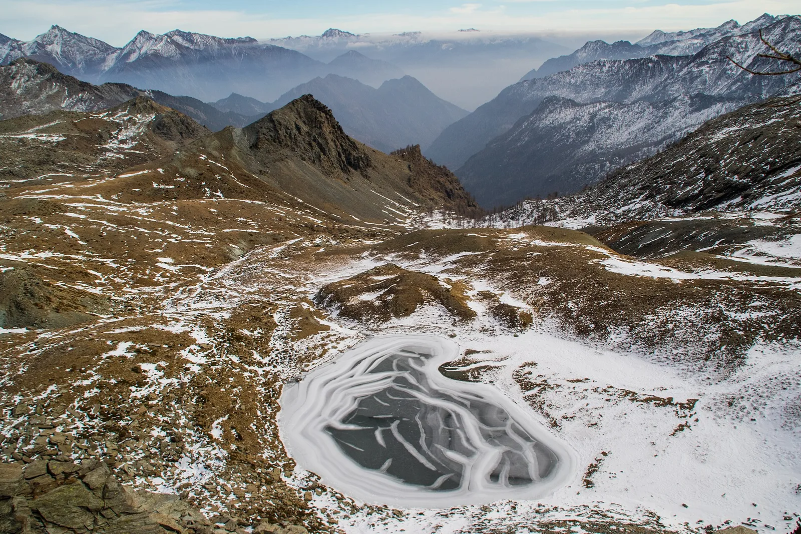
A demanding ascent from the valley floor of the central Aosta Valley, rising through the municipalities of Charvensod and Jovençan to the high plateau of Arvueil (1707 m). The 1544 m of total ascent over 7.6 km makes this a full-day commitment requiring solid fitness. From Lo Pian (551 m) the path crosses a mosaic of meadows and vineyards on the outskirts of Aosta, then climbs through chestnut and ash woodland on the left orographic flank of the valley. Higher up, deciduous trees give way to beech and larch, revealing sweeping views over the Aosta basin, the Gran Combin and the distant 4000 m summits of the Matterhorn and Monte Rosa. An early start and layered clothing are strongly recommended. Open from May to October.
Estacionamento
Galeria de fotos
Photos are published immediately. JPG/PNG/WebP, max 6 MB.
Fauna para observar
AEditado e verificado por Andrea Rama
Fonte dos dados: Catasto Sentieri Regione Autonoma VdA · Open data — DGR 899/2014
Última verificação:
Bassa Valle
Trilhos relacionados
Mesmo vale ou percursos semelhantes — mais caminhadas para descobrir.

Bassa Valle
Arsines - Col Fenetre
A short woodland climb from Arsines, above Arnad, to Col Fenêtre: a scenic pass of the lower Aosta Valley.

Bassa Valle
Bard - Tête de Cou
In the commune of Cogne, Gran Paradiso National Park: a climb toward a high-altitude objective in an environment of exceptional natural quality.

Bassa Valle
Barme - Carogne
1.6 km · +397 m · E — from Barme to Carogne (Valtournenche).

Bassa Valle
Barme - Omens
1.2 km · +284 m · E — from Barme to Omens (Valtournenche).