Chamois - Col Pillonnet
4.3 km
+915 m
−0 m
3.5 h
Nível físico
Mapa e percurso
Traço GPX — verifique no terreno antes de caminhar
Descrição
Pontos-chave
Partida
Chamois · 1812 m
Chegada
Col Pillonnet · 2698 m
Trilho
S3
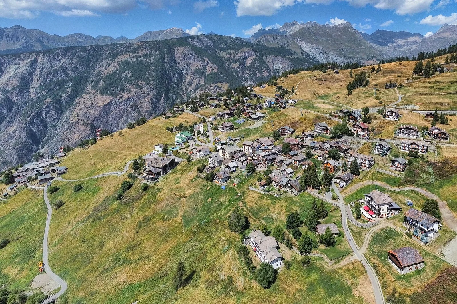
Chamois holds a unique distinction in the Italian Alps: it is the only municipality in the Aosta Valley with no road access whatsoever, reachable only on foot or by cable car from Buisson. From this car-free village at 1812 m, the trail climbs 915 metres over 4.3 kilometres to the Col Pillonnet at 2698 m, a historic transhumance pass linking the central valley to the La Salle side. The route ascends through the broad high pastures above Chamois, passes the last summer alpeggi, and gains the open ridge with panoramic views over the central Aosta Valley. Check cable-car timetables for the return journey.
Estacionamento
Galeria de fotos
Photos are published immediately. JPG/PNG/WebP, max 6 MB.
Flora do trilho
AEditado e verificado por Andrea Rama
Fonte dos dados: Catasto Sentieri Regione Autonoma VdA · Open data — DGR 899/2014
Última verificação:
Valtournenche
Trilhos relacionados
Mesmo vale ou percursos semelhantes — mais caminhadas para descobrir.

Valtournenche
Anello Area sportiva-Fiernaz-Area sportiva
2.9 km · +28 m · T — from Area sportiva to Area sportiva (Valtournenche).

Valtournenche
Anello dei Villaggi di Antey ( Ruvère, Liesse,Fontaney, Villettaz)
A loop through the sunlit hamlets of Antey and Torgnon: traditional Aosta Valley architecture, vineyards and mid-mountain forest, 5.2 km from Ruvère.

Valtournenche
Anello di Champlève
1.9 km · +140 m · E — from Champlève to Champlève (Central Valley).

Valtournenche
Area Pic Nic Champlong - Becca d'Aver e Cima Longhede
6.4 km · +913 m · E — from Area Pic Nic Champlong to Cima Longhede (Valsavarenche).