Tour of the Matterhorn — Stage 7: St. Niklaus → Zermatt
Avisos
- Book overnight stops in peak season
20.4 km
+638 m
−348 m
7.5 h
Nível físico
Mapa e percurso
Traço GPX — verifique no terreno antes de caminhar
Descrição
Pontos-chave
Partida
St. Niklaus · 1114 m
Chegada
Zermatt · 1601 m
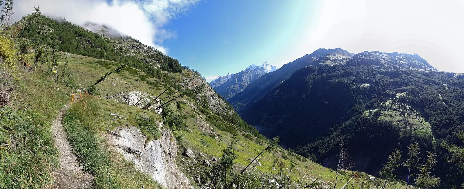
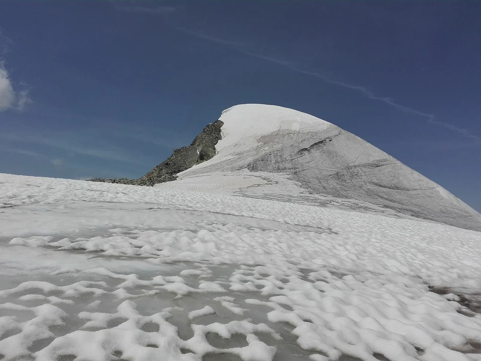
A valley-floor stage along the Vispa: from St. Niklaus ascend the Mattertal via Randa — the 1991 rockslide still visible — and Täsch, to the triumphant arrival in Zermatt (1,608 m), where the Matterhorn pyramid seals the valley.
A valley-floor ascent that is anything but dull: the Mattertal is Switzerland’s deepest valley, and its villages tell of centuries spent living with a difficult mountain. At Randa the trail passes the colossal 1991 rockslide, thirty million cubic metres that reshaped the valley floor; at Täsch begin the car parks of those heading for car-free Zermatt. The last kilometres follow the rushing Vispa to the old barns of Zermatt, the Matterhorn growing with every step. Train and bus let you shorten the stage at will.
Ciências da Terra
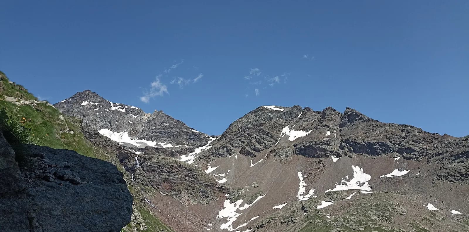
Geologia e paisagem
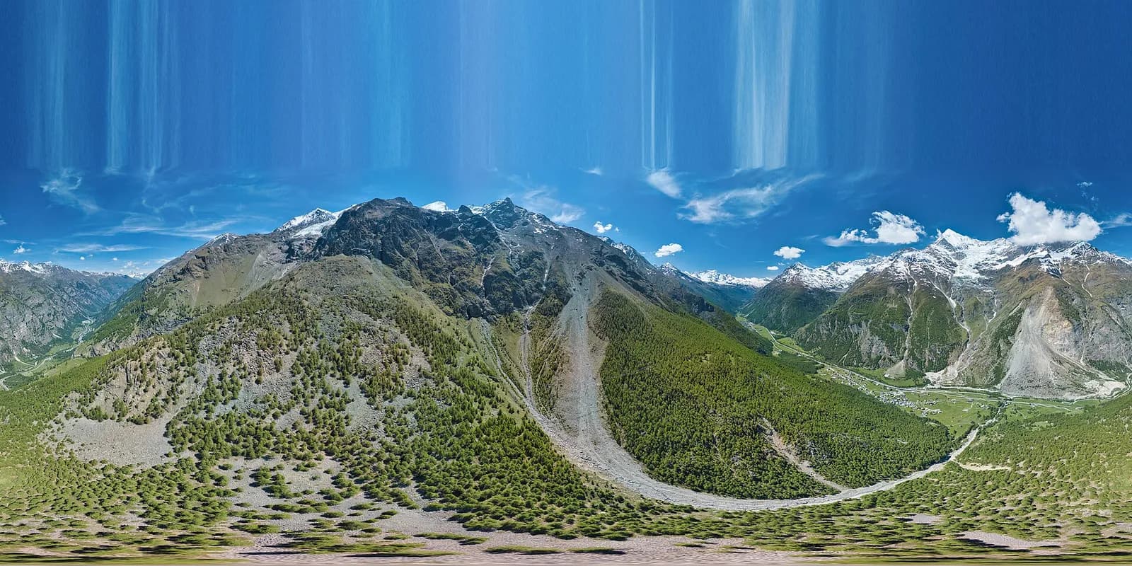
The Matterhorn is the world’s most famous textbook of Alpine geology: its pyramid is a sliver of African continental crust (Dent Blanche nappe, Arolla and Valpelline gneisses) resting on the green ophiolites of the Piedmont-Liguria ocean, visible at its base. The tour walks along this very suture: serpentinites and calcschists in the Cignana and Valcournera valleys, brown gneisses above Zermatt and Arolla.
História e cultura
The Visp-Zermatt railway (1891) turned a village of mountain farmers into the world capital of mountaineering; the climbers’ cemetery beside the church tells of the Matterhorn’s victims since 1865.
Pontos de água
Water at the stage's support points (St. Niklaus, Zermatt). On the high ground and at the passes springs are not guaranteed: fill bottles in the valley and at the huts.
Como chegar
Cross-border stage: on the foreign sides local public transport applies (PostAuto in Switzerland, line buses in France/Piedmont). Check seasonal timetables; in peak season several access links run by reservation only.
Estacionamento
Galeria de fotos
Photos are published immediately. JPG/PNG/WebP, max 6 MB.
Etapas adjacentes
AEditado e verificado por Andrea Rama
Fonte dos dados: Tour del Cervino / Tour du Cervin — itinerario internazionale · Traccia calcolata su rete sentieri OpenStreetMap (ODbL); verificare sul terreno
Última verificação:
Mattertal (Vallese)
Trilhos relacionados
Mesmo vale ou percursos semelhantes — mais caminhadas para descobrir.
Mattertal (Vallese)
Tour Monte Rosa — Stage 6: Grächen → Europahütte
The first half of the Europaweg, suspended above the Mattertal.
Mattertal (Vallese)
Tour Monte Rosa — Stage 7: Europahütte → Zermatt
The longest suspension bridge in the Alps and the arrival in Zermatt.
Valtournenche — Valpelline
Tour of the Matterhorn — Stage 1: Breuil-Cervinia → Rifugio Prarayer
The Valcournera pass, a stern gateway to the Valpelline.
Valpelline — Val d’Hérens
Tour of the Matterhorn — Stage 2: Rifugio Prarayer → Arolla
The Col Collon: an alpine transfer over the glacier, as in the Middle Ages.