Vedun - Châtelet - Alpe Or de Breuil
4.3 km
+282 m
−0 m
2 h
Nível físico
Mapa e percurso
Traço GPX — verifique no terreno antes de caminhar
Descrição
Pontos-chave
Partida
Vedun · 1519 m
Chegada
A. Or de Breuil · 1806 m
Trilho
S5
In the heart of the Valdigne, above La Salle, this short itinerary climbs from Vedun, at 1519 metres, to the Alpe Or de Breuil, at 1806 metres, passing through the locality of Châtelet. It is a little over four kilometres for 282 metres of ascent, a measured and well-distributed climb graded E. The route runs through the belt of sparse larch woods and alpine pastures characteristic of this altitude in the valley, where conifer stands alternate with the grassy clearings of the mayens and the alps. Along the way the eye takes in the breadth of the Valdigne, the great valley rising from Pré-Saint-Didier towards the Mont Blanc massif. Châtelet marks an intermediate stage before reaching the higher pastures of the Alpe Or de Breuil, the goal of the walk. It is a hike modest in both ascent and distance, ideal for half a day, that preserves the flavour of the traditional pastoral landscape of the municipality of La Salle.
Estacionamento
Galeria de fotos
Photos are published immediately. JPG/PNG/WebP, max 6 MB.
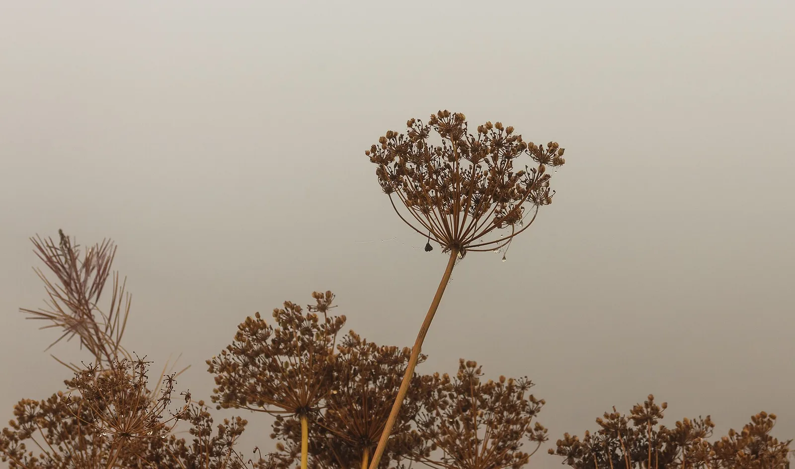
Flora do trilho
AEditado e verificado por Andrea Rama
Fonte dos dados: Catasto Sentieri Regione Autonoma VdA · Open data — DGR 899/2014
Última verificação:
Valle centrale
Trilhos relacionados
Mesmo vale ou percursos semelhantes — mais caminhadas para descobrir.

Valle centrale
Anello del Verrand
2.6 km · +233 m · E — from Château Verrand to Château Verrand (Rhêmes Valley).

Valle centrale
Area giochi Croux - Parleyaz
4.1 km · +476 m · E — from Area giochi Croux to Parleyaz (Central Valley).

Valle centrale
Arlier - Cloutraz (Pontey)
From Arlier (603m) to Cloutraz (1067m) on the Châtillon hillside: 3.5 km E through vineyards, woodland and views over the Dora Baltea.

Valle centrale
Arpilles - Champromenty
2.1 km · +333 m · E — from Arpilles to Champromenty (Lys Valley).