Dortoir alpe Baravex
Avisos
- In fog the path across pastures and boulder fields can be hard to follow: rely on waymarks and a map.
- Always check the forecast before setting out: mountain weather changes fast and summer afternoon storms are common.

4.4 km
+559 m
−0 m
2.5 h
Nível físico
Mapa e percurso
Traço GPX — verifique no terreno antes de caminhar
Descrição
Pontos-chave
Partida
Ville · 1404 m
Chegada
Rifugio dortoir Baravex · 1938 m
Trilho
S3
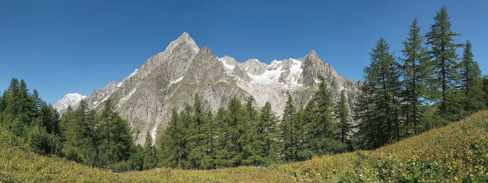
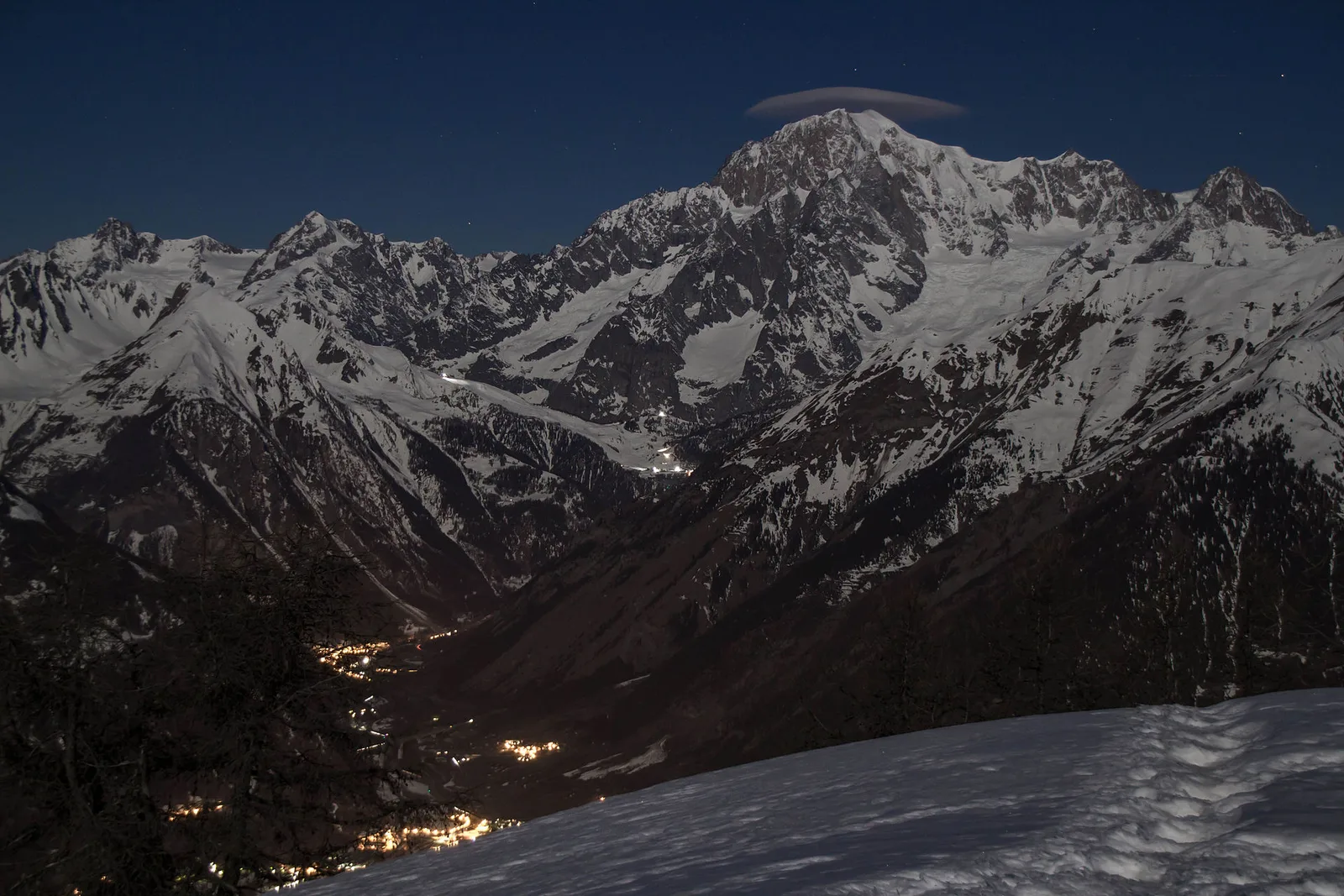
The trail sets off from Ville, a hamlet of Allein in the Great St Bernard valley, at 1404 metres. It follows the track serving the alpine pastures of the slope, gaining 559 metres of ascent in a little over four kilometres: a steady but never harsh climb, graded E. The route crosses the belt of high mountain pastures and larch woods typical of this Aosta Valley altitude, where the hay meadows give way to grazing land dotted with stone huts. As you climb, the view opens onto the valley ridges and the grassy slopes worked by summer herds. You finally reach, at 1938 metres, the Dortoir Baravex refuge, an unstaffed shelter set near the pastures, just below the farm road that continues towards the higher alps. It is an itinerary for those seeking an honest walk, made of measured effort and authentic pastoral landscape.
Estacionamento
Galeria de fotos
Photos are published immediately. JPG/PNG/WebP, max 6 MB.
Flora do trilho
Fauna para observar
AEditado e verificado por Andrea Rama
Fonte dos dados: Catasto Sentieri Regione Autonoma VdA · Open data — DGR 899/2014
Última verificação:
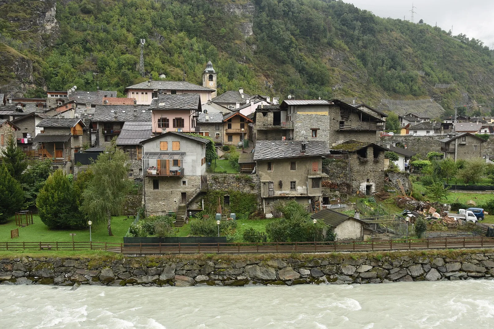
Valle del Gran San Bernardo
Trilhos relacionados
Mesmo vale ou percursos semelhantes — mais caminhadas para descobrir.
Valle del Gran San Bernardo
Allein - Mont Saron
From Allein village, the climb to Mont Saron crosses forest, alpine pastures and a summit ridge on the watershed between Gran San Bernardo and Valpelline: 1434 m ascent for fit hikers.
Valle del Gran San Bernardo
Ayez - Genevrey
2.9 km · +477 m · E — from Ayez to Genevrey (Great St Bernard Valley).
Valle del Gran San Bernardo
Bivio strada sterrata per Jovençan - Lacs de Dziule
From Jovençan track junction (1855 m) to the glacial Lacs de Dziule (2553 m) in upper Valdigne: 5.8 km, +702 m. Open cirque scenery. E.
Valle del Gran San Bernardo
Bivio strada sterrata per Jovençan - Or de Fra - Lacs de Dziule
Through the Vertosan valley, the trail climbs to the Lacs de Dziule, glacial lakes at 2553 m set in a stark landscape of rock and high meadow in the Valdigne.