Quinçod - Leuriaz
4.7 km
+742 m
−0 m
3 h
Nível físico
Mapa e percurso
Traço GPX — verifique no terreno antes de caminhar
Descrição
Pontos-chave
Partida
Quinçod · 1030 m
Chegada
Leuriaz · 1592 m
Trilho
S9
Starting from Quinçod (1030 m) in the lower Val d'Ayas, this 4.7 km trail climbs 742 m to the mid-altitude pastures of Leuriaz (1592 m). Graded E, it demands sustained effort but follows a clear and well-maintained path throughout. The lower sections pass through vineyards and mixed woodland before the forest opens into larch stands and then alpine meadow. The ascent traces a classic vertical transect of the Aosta Valley landscape, from valley floor agriculture to summer grazing alp. A rewarding climb for fit hikers seeking genuine altitude gain without technical difficulty.
Estacionamento
Galeria de fotos
Photos are published immediately. JPG/PNG/WebP, max 6 MB.
Flora do trilho
Fauna para observar
AEditado e verificado por Andrea Rama
Fonte dos dados: Catasto Sentieri Regione Autonoma VdA · Open data — DGR 899/2014
Última verificação:
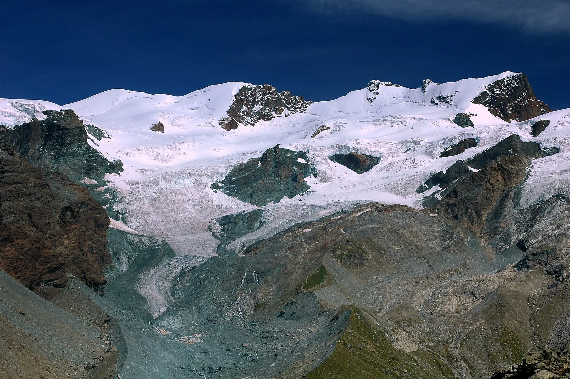
Val d'Ayas
Trilhos relacionados
Mesmo vale ou percursos semelhantes — mais caminhadas para descobrir.

Val d'Ayas
Amponey - Becca Trecare
A demanding EE ascent from Amponey to Becca Trecare at 3032m — nearly 1500m of gain on varied terrain with sweeping summit views.

Val d'Ayas
Amponey - Alpe Mascognaz
1.8 km · +309 m · E — from Amponey to Alpe Mascognaz (Central Valley).

Val d'Ayas
Amponey - Bec de Nannaz
In the Val d'Ayas, Ayas: an E-rated climb toward a high-altitude objective through pastures and rock with views of Monte Rosa.

Val d'Ayas
Amponey - Mont Facebelle
In the Val d'Ayas, Ayas: an E/EE-rated climb toward a high-altitude objective in the alpine landscape.