Lago Villa - Castello di Ville - Croce di Saint Gilles
3.6 km
+312 m
−0 m
1.5 h
Nível físico
Mapa e percurso
Traço GPX — verifique no terreno antes de caminhar
Descrição
Pontos-chave
Partida
Bivio lago · 703 m
Chegada
Bivio lago · 855 m
Trilho
S26
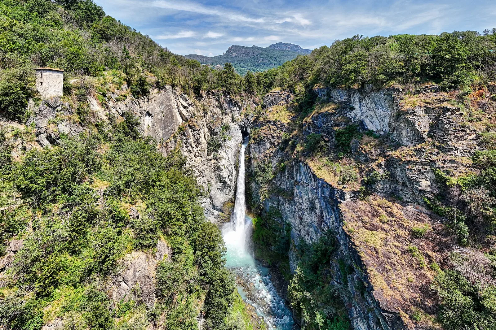
A 3.6 km loop at Challand-Saint-Victor combining two outstanding highlights: the Lago di Villa nature reserve and the medieval Castello di Ville. The trail winds through oak and chestnut woodland typical of the lower Aosta Valley hillsides, with open views across the valley. The protected lake offers excellent wildlife watching, while the castle adds strong historical interest. With only 312 m of elevation gain, this is an accessible route suitable for families.
Estacionamento
Galeria de fotos
Photos are published immediately. JPG/PNG/WebP, max 6 MB.
Flora do trilho
AEditado e verificado por Andrea Rama
Fonte dos dados: Catasto Sentieri Regione Autonoma VdA · Open data — DGR 899/2014
Última verificação:
Val d'Ayas
Trilhos relacionados
Mesmo vale ou percursos semelhantes — mais caminhadas para descobrir.

Val d'Ayas
Amponey - Becca Trecare
A demanding EE ascent from Amponey to Becca Trecare at 3032m — nearly 1500m of gain on varied terrain with sweeping summit views.

Val d'Ayas
Amponey - Alpe Mascognaz
1.8 km · +309 m · E — from Amponey to Alpe Mascognaz (Central Valley).

Val d'Ayas
Amponey - Bec de Nannaz
In the Val d'Ayas, Ayas: an E-rated climb toward a high-altitude objective through pastures and rock with views of Monte Rosa.

Val d'Ayas
Amponey - Mont Facebelle
In the Val d'Ayas, Ayas: an E/EE-rated climb toward a high-altitude objective in the alpine landscape.