Vieyes - Arpissonnet - Bivacco Gontier
6.9 km
+1167 m
−0 m
4.5 h
Nível físico
Mapa e percurso
Traço GPX — verifique no terreno antes de caminhar
Descrição
Pontos-chave
Partida
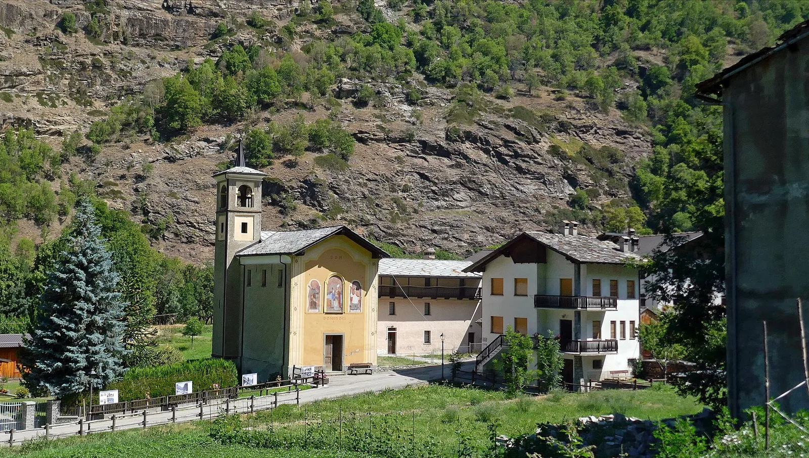
Vieyes · 1149 m
Chegada
Bivacco Gontier · 2302 m
Trilho
S26
The trail from Vieyes to Bivacco Gontier climbs the wooded hillside above the Val di Cogne in Aymavilles, reaching the Mario Gontier bivouac at the Grand Nomenon pasture. The walk starts at Vieyes (1149 m). Trail no. 5 rises through the forest toward Plan Pessey, continues along the stream, passes abandoned buildings and crosses the watercourse on a wooden footbridge toward Petit Nomenon. Continuing uphill leads to the Grand Nomenon plateau and Bivacco Mario Gontier (2302 m). The bivouac, inaugurated in 1985 and dedicated to Mario Gontier, an Aymavilles mountaineer who died in 1983, is equipped with bunks and basic provisions. With 1167 m of ascent over 6.9 km, the E rating reflects a regular, well-frequented itinerary. Recommended from June to October.
Estacionamento
Galeria de fotos
Photos are published immediately. JPG/PNG/WebP, max 6 MB.
Flora do trilho
Fauna para observar
AEditado e verificado por Andrea Rama
Fonte dos dados: Catasto Sentieri Regione Autonoma VdA · Open data — DGR 899/2014
Última verificação:
Val di Cogne
Trilhos relacionados
Mesmo vale ou percursos semelhantes — mais caminhadas para descobrir.

Val di Cogne
Alpe Bardoney (incrocio sentieri 12-13G)- Col de l'Arolla
5.3 km · +684 m · EE — from Alpe Bardoney (incrocio sentieri 12-13G) to Col de l'Arolla (Lys Valley).

Val di Cogne
Antiche miniere di ferro di Colonna
3.8 km · +852 m · E — from Moline to Miniere di Colonna (Lys Valley).

Val di Cogne
Arpisson - Col Chasèche
2.3 km · +498 m · E — from Arpisson to Col Chasèche (Lys Valley).

Val di Cogne
Arrivo impianto risalita Chamolé- Tête Noire
1.4 km · +497 m · E — from Arrivo impianto risalita Chamolé to Tête Noire (Lys Valley).